Friedrich Georg Wilhelm von Struve (1793–1864), the German geophysicist who was the director of the stellar observatory at the University of Dorpat in Russia (now Tartu in Estonia) began work on mapping the exact shape and size of the planet in 1816. In his work, von Struve used 265 measurement points – triangulation points – that form a 2820 km-long arc from Finnmark to the Danube Delta.
How is the planet measured?
By putting so many measurement points along a meridian (the vertical lines on a map) it was possible to calculate the exact size and shape of the planet, which allowed cartographers to create more accurate maps. The project thus represented a giant scientific leap forward and was also an early example of scientific collaboration across national borders.
Struve’s meridian belt crosses 10 countries
In 2005, 34 of the triangulation points – the ones that are distinguished by a landmark – became protected and included as cultural memorials on the UNESCO world heritage list. In the 1800s, the project involved two countries: Russia and Sweden/Norway. Today, Struve’s Geodetic Arc spans ten countries: Norway, Sweden, Finland, Russia, Estonia, Latvia, Lithuania, Belarus, Moldova and Ukraine.
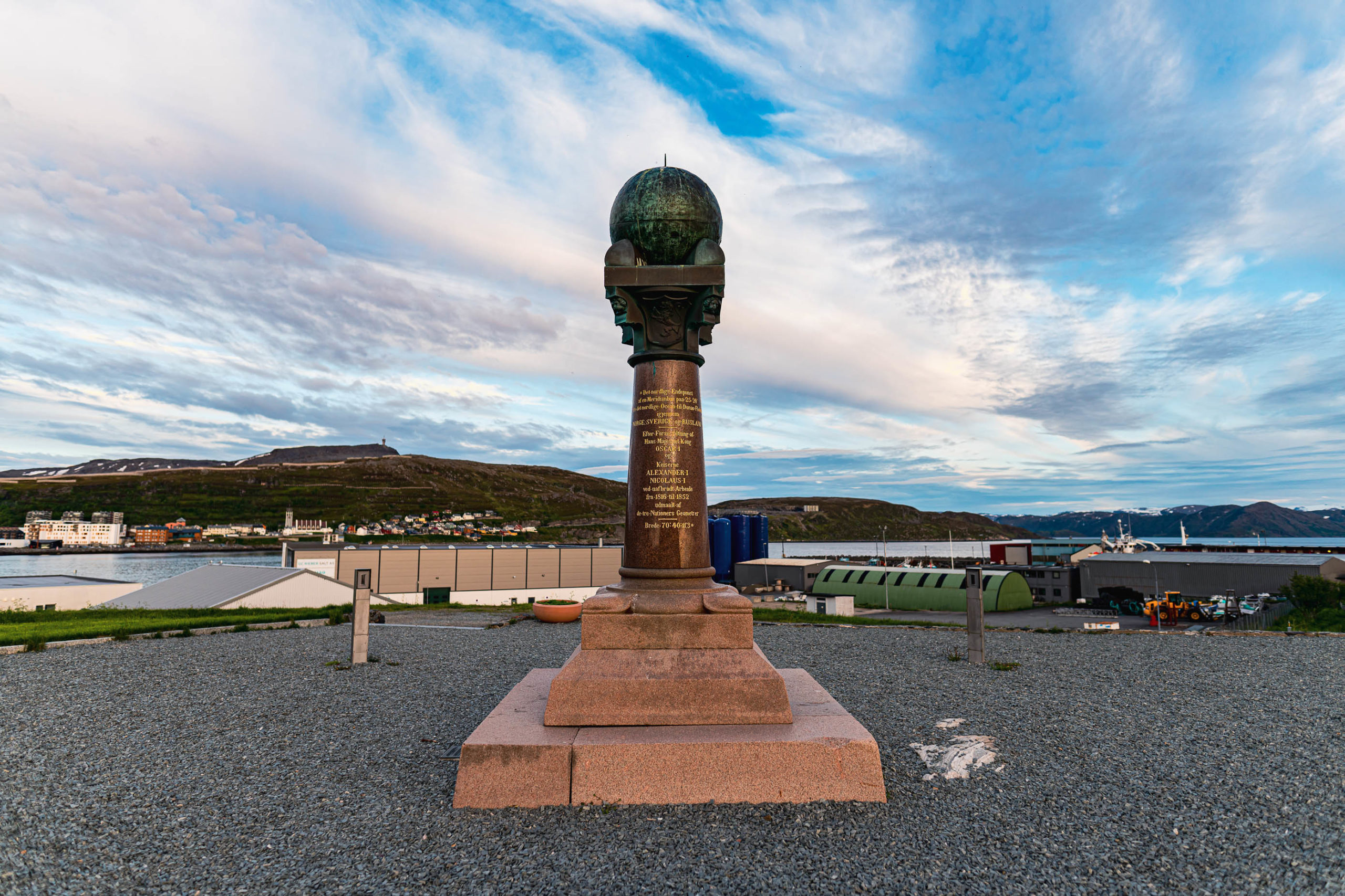
Hammerfest was the northernmost town for research
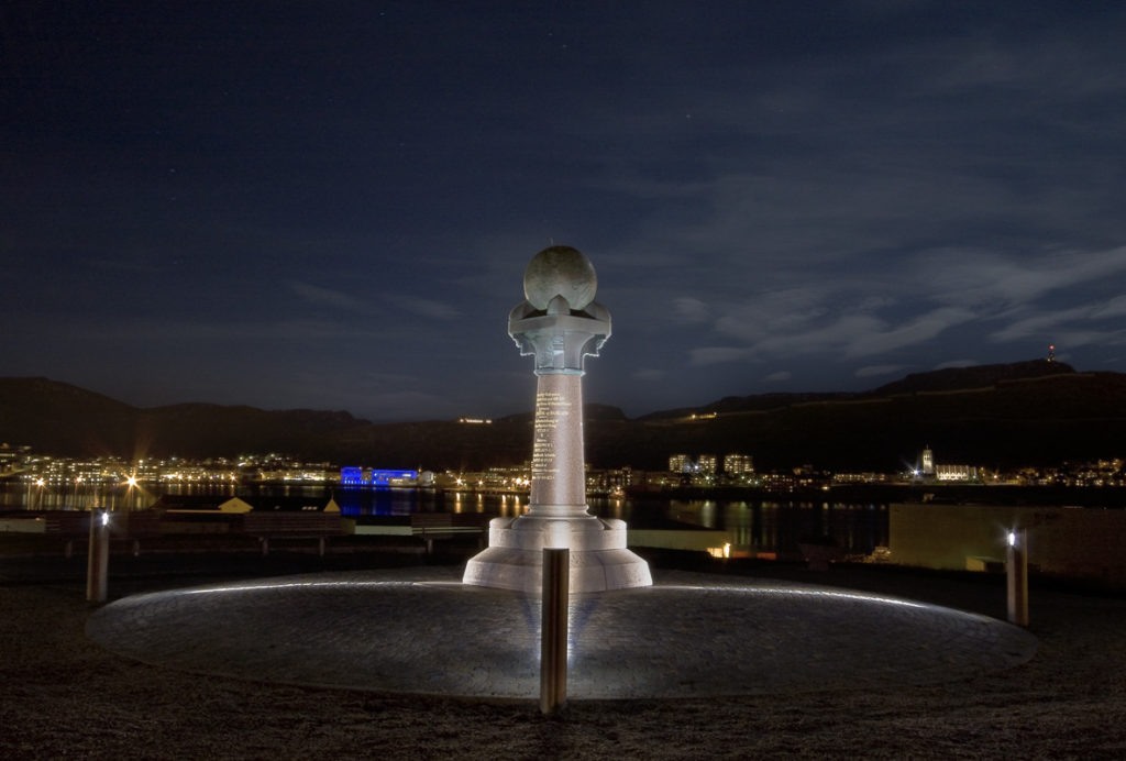
Hammerfest is the most northerly town in the world – and at that time the most northerly place in the world that scientists could reasonably travel to – and it marks the north end of the arc. It was here that the Meridian Column was erected in 1854, inscribed with the following text:
The northernmost end of a geodetic arc at 25° 20′ from the northern ocean to the Danube river – through Norway, Sweden and Russia. On the instructions of HM Oscar I and Emperors Alexander I and Nicolaus I, using unbroken geometries. Latitude: 70° 40′ 11.3″.
The Meridian Column is located on Fuglenes in the built-up area of Hammerfest, 3 km from the Express Route quay.
Other measuring points in Norway are popular hiking destinations
Three other measurement points in Norway are also included: the Unna Ráipásas mountain peak in Alta and the peaks of Luvddiidcohkka and Bealjásvárri in Kautokeino, the church spire in Alatornio, Finland, cairns on the Russian island of Gogland in the Gulf of Finland and the observatory in Tartu are among the most visible points.
How do I see the Meridian column?
It’s found in the built-up area of Hammerfest, but a fair but outside the city centre. The tourist information can inform about buses, and you can take a taxi.
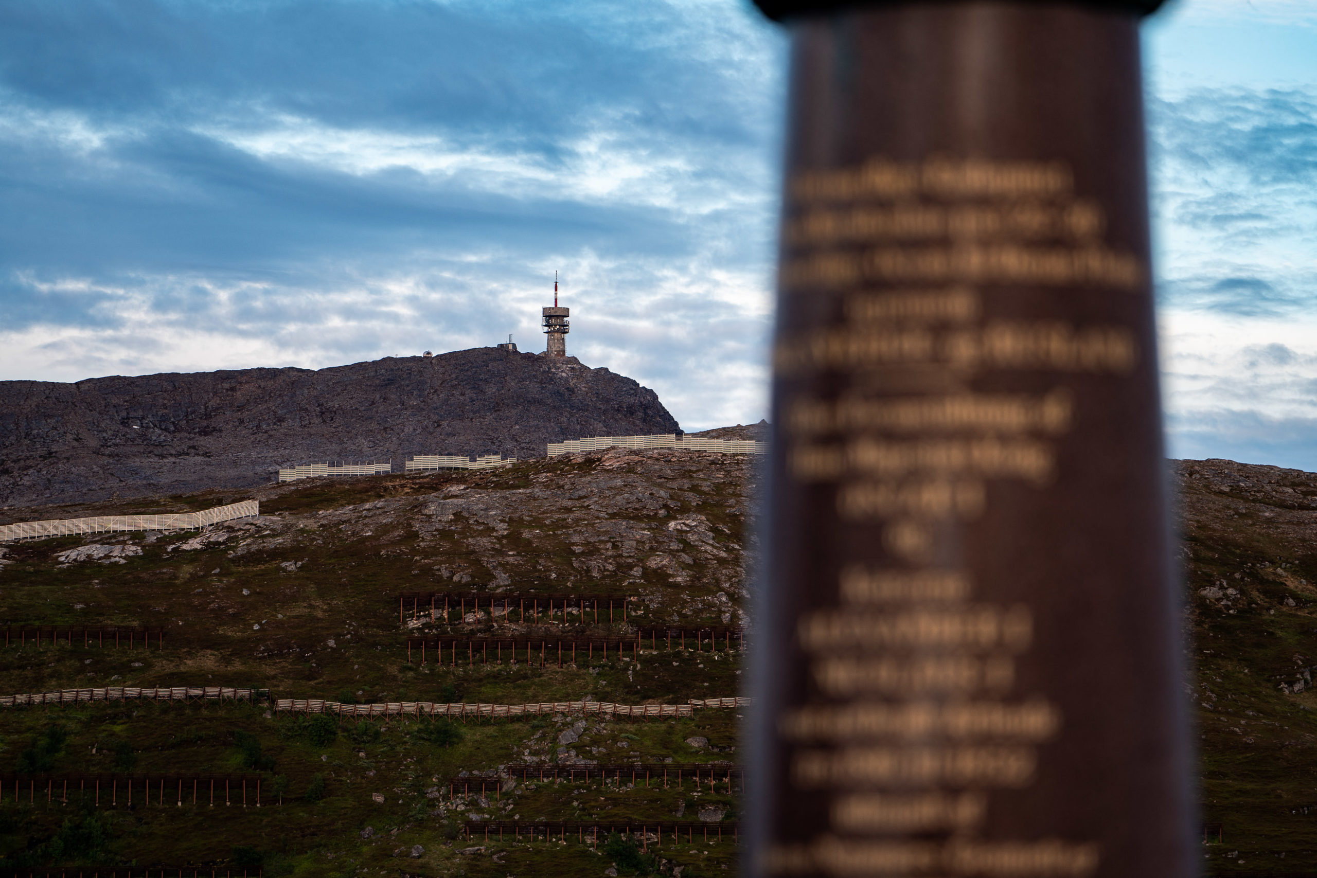
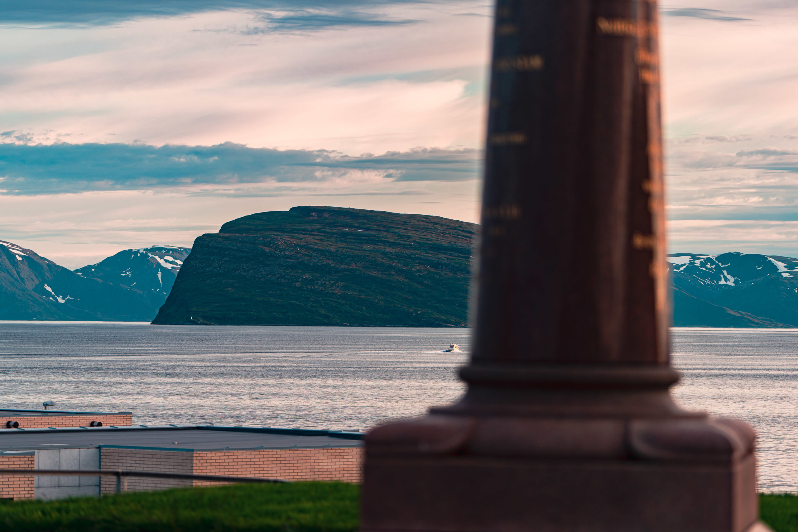
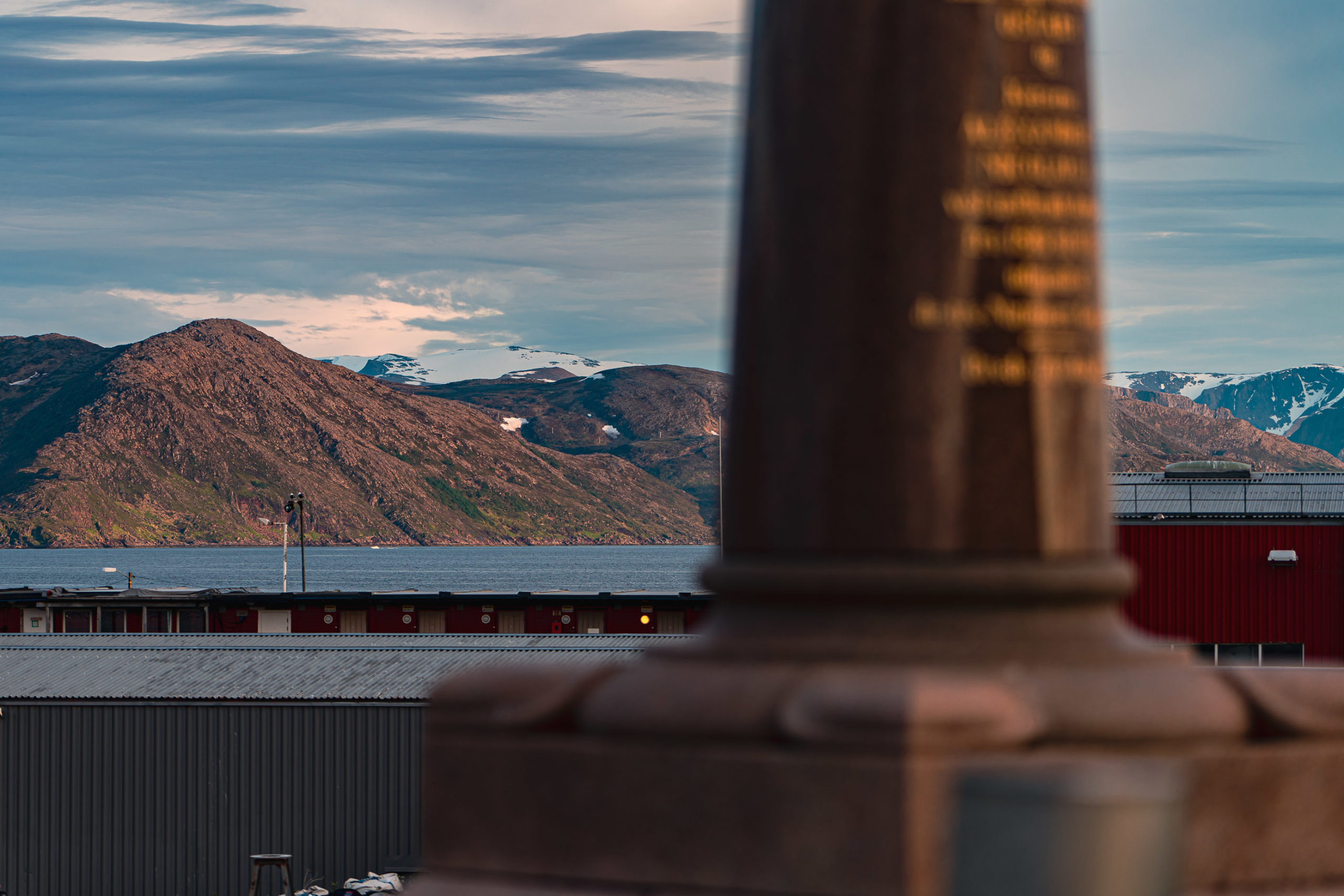
No, it’s found in a public park, and easy to see. From here you see the centre of Hammerfest across the bay.
Visit Hammerfest have a great website with all the information you’ll need about your trip.