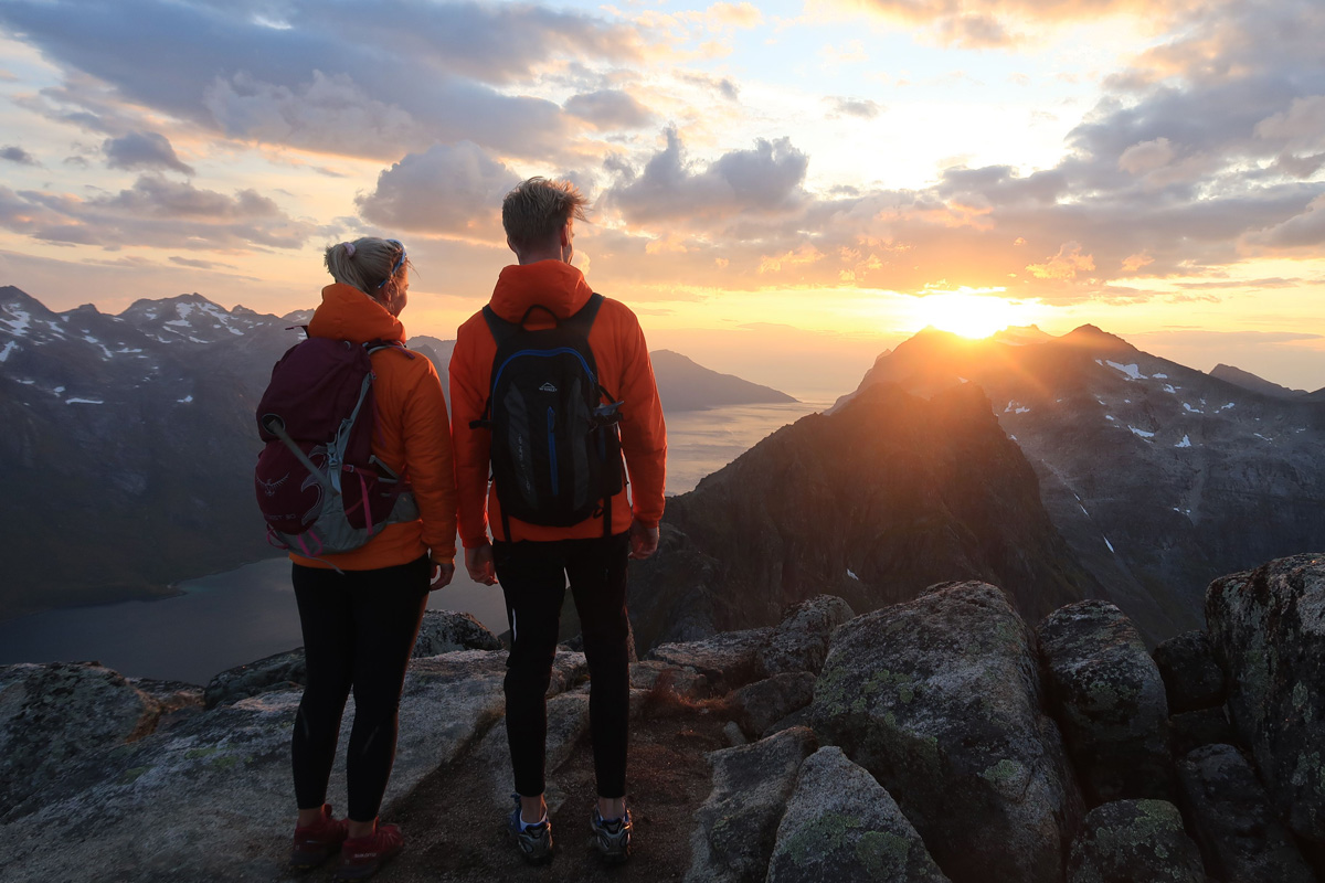
The landscape may be barren, naked and as far north as you can get on the Norwegian mainland, but it also offers easy walking country and gentle ascents. And it’s easy to orientate yourself, simply by following the coastline and mountain tops. There is no vegetation to hinder you, and the breeze blows the mosquitoes away.
About hiking in Hammerfest
You are strongly recommended to use a guide on the more difficult and challenging hikes, such as on Seiland. The easier walks on Kvaløya and some of those on Sørøya are, however, easy to organise yourself. The longer hikes on Sørøya and on Seiland are nevertheless more accessible, even for less experienced mountain hikers, if you take a guide.
The only polar bears are found in the Polar Bear society.. There is no threatening wildlife, and the nature is mostly of the unchallenging kind. However, cold weather and fatigue are the major problems. Make sure you have plenty of extra clothes in your backpack.
Hammerfest Turist, the local tourist board, is your best source of information. They also help with public transport like buses, ferries and boats to wherever your hike starts.
Visit Hammerfest, the tourist board, has it all.
Follow the zig zag path to see Hammerfest from above
It takes only 10 minutes from Hammerfest town centre to walk to the top of Mount Salen along a well-trodden, zigzag path. At the top you are rewarded with magnificent views of the town, the Sørøysundet sound, the islands of Håja and Hjelmen and right out to the island of Sørøya. If you haven’t got time to do anything else in Hammerfest, a walk up Mount Salen is an absolute must. A cup of coffee at the Turistua restaurant right at the top is all part of the experience, and you can almost stroll up in your best shoes.
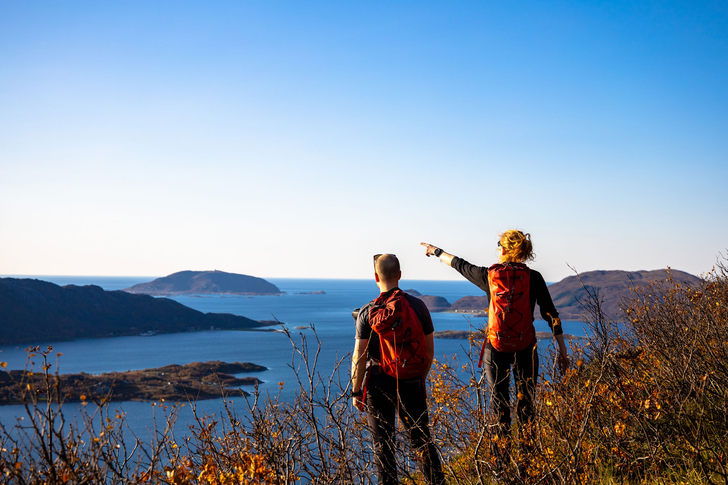
The island of Kvaløya, on which Hammerfest is built, has steep sides rising to an undulating landscape of mountain and highland plateau. There are three recommended walks, all offering magnificent panoramic views and relatively easy walking:
Hike around Kvaløya, on Hammerfest’s doorstep
Gammelveien (The Old Road) was made by volunteers as a walking path in 1896-98. On an hour-long circular walk you will see German gun positions from World War II and also the wood at Jansvannsskogen, the only wood in Hammerfest, in a sheltered hollow across from the town.
Mount Tyven (The Thief), the mountain that “steals” the sun from Hammerfest in the winter, is an easy, accessible walk along a gravel track up to the top of the mountain at 419 metres (1,375 ft) above sea level. You should allow a couple of hours to get up and down Mount Tyven.
A three-hour circular walk takes in Mount Storfjellet and Mylingen and goes through varied terrain, starting at Hammerfest Airport, and climbing the 384 metre-high Mount Steinfjellet. On the return walk there are fine views towards the island of Melkøya, where a big liquid natural gas terminal is situated.
Take the boat to Sørøya and go beyond the beaten path
Sørøya, the fourth largest island in Norway, offers rather more of a challenge for hikers. Several times a week, the local Bygderuta express ferry sails from Hammerfest to the little communities on the island. You can either take the ferry, do some walking and take the boat back, or stay the night in one of the attractive accommodation alternatives the island has to offer.
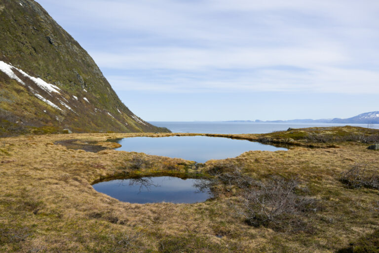
From Lotre, where the ferry stops, you can follow a road for 8 km (4.9 miles) right across the island to Sandøybotn on the outer side of Sørøya. There is accommodation here and a number of hiking routes to explore. The walk round Mount Sandfjellet can be taken as a day trip from Hammerfest, depending on the ferry timetable. The route goes across a low isthmus in the narrowest part of Sørøya. Sweeping sand dunes, hay meadows and even lush green woods of low-growing birch adorn the landscape on what is a relatively easy walk. The most challenging hike goes from Akkarfjord to Kjøttvikvarden and up to Tarhalsen. The ascent to Kjøttvikvaren, a 12-metre-high stone cairn built in 1850 as a landmark for fishermen, is relatively easy, and you will find yourself high above the Arctic Ocean. It’s a rather more airy hike out towards the northern tip of Sørøya, to Tarhalsen, but you will be rewarded with wonderful views and a varied landscape of rock formations and coastal vegetation.
On Seiland you’ll find true wilderness
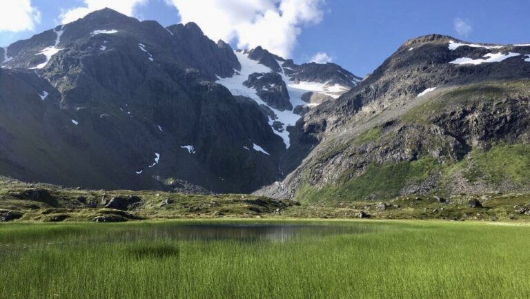
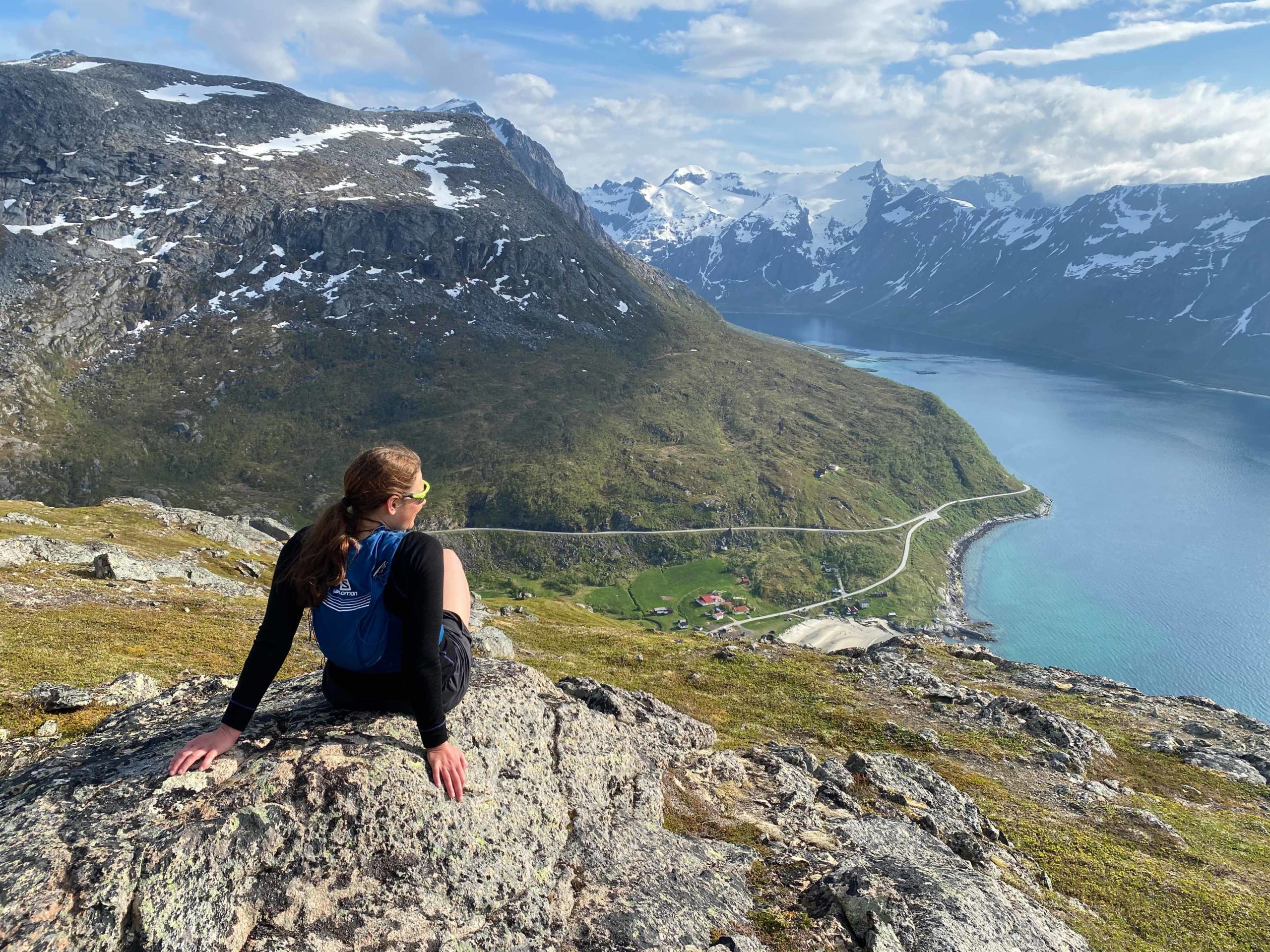
Seiland, Norway’s seventh largest island, and with its own superb national park, has fewer than 150 inhabitants. The dramatic landscape of peaks, fjords and glaciers offers challenging hikes for more experienced hikers. In the little coastal village of Kårhamn, on the northern tip of the island, near Hammerfest, there is excellent overnight accommodation and you can get a meal and refreshments. Kårhamn is the starting point for several hikes to the peaks in the area, which rise to 8-900 metres (about 2,600-2,900ft) above sea level. You are advised not to attempt glacier hiking without a guide.