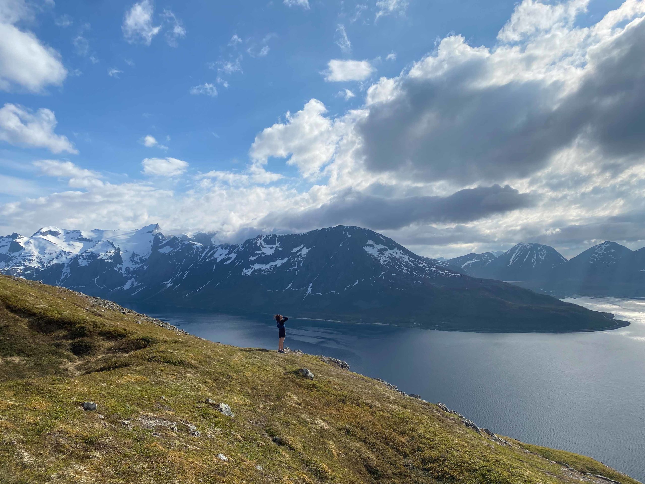
The mountain hike to Mount Brattfjellet on Kvaløya Island is an easy hike with a great view found between Tromsø and the open sea. When the other mountains are still covered by snow in May, you can do this hike. For a longer trip, combine with nearby Rundkollen Hill. That tour is not described here, but the cairn in clearly visitbly from the top of Brattfjellet on a clear day.
The tour starts at Lake Storvannet
There is room for 4-5 cars, depending on the size, on the park on the western side of Lake Storvannet along the road. If the car park is full, it is possible to use nearby areas, which require a short walk along the road before reaching the starting point. Due to the limited parking, we strongly recommend packing the car as full of people as possible before departure. Alternatively, you can hire an electric bike in the city and make it a day trip.
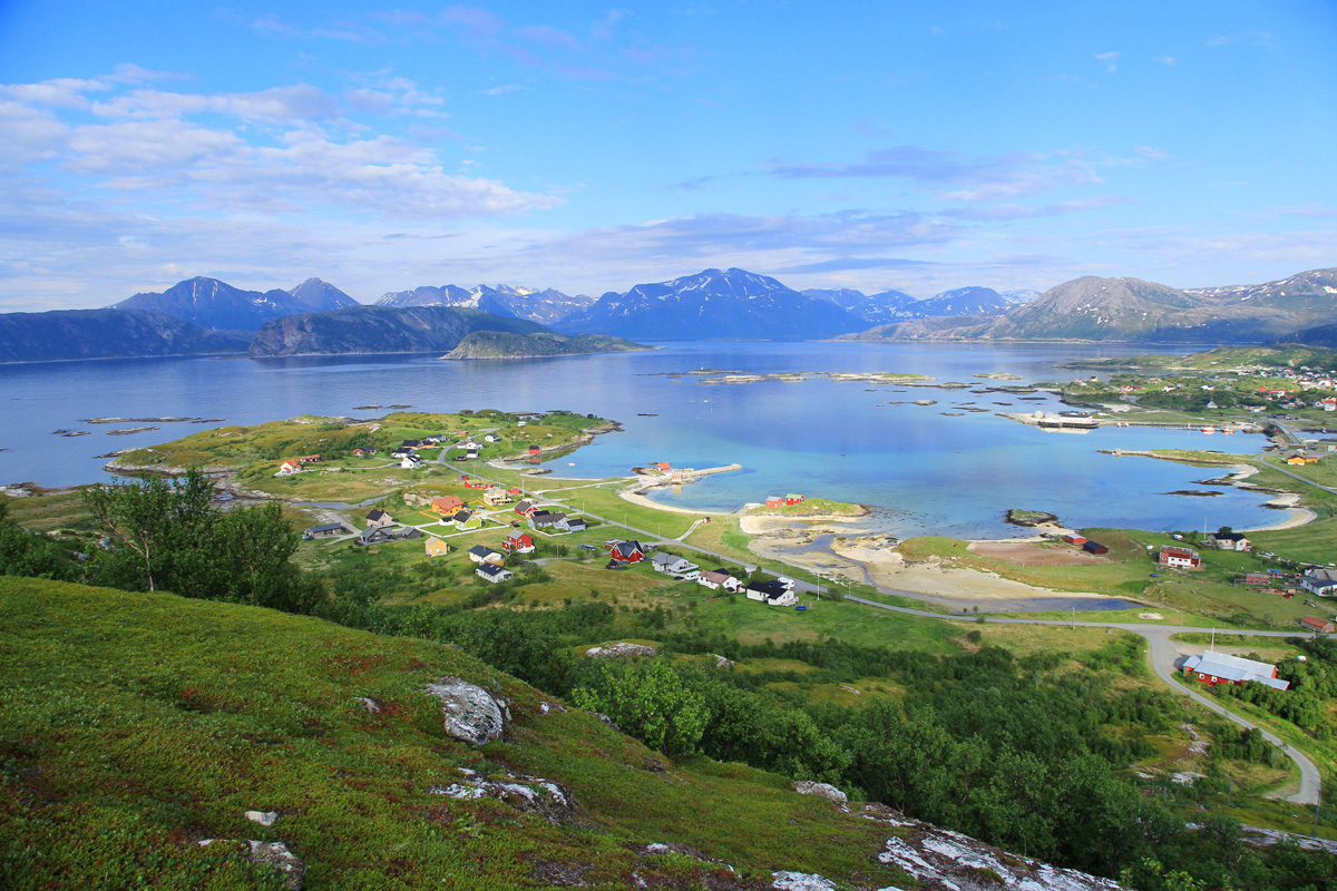
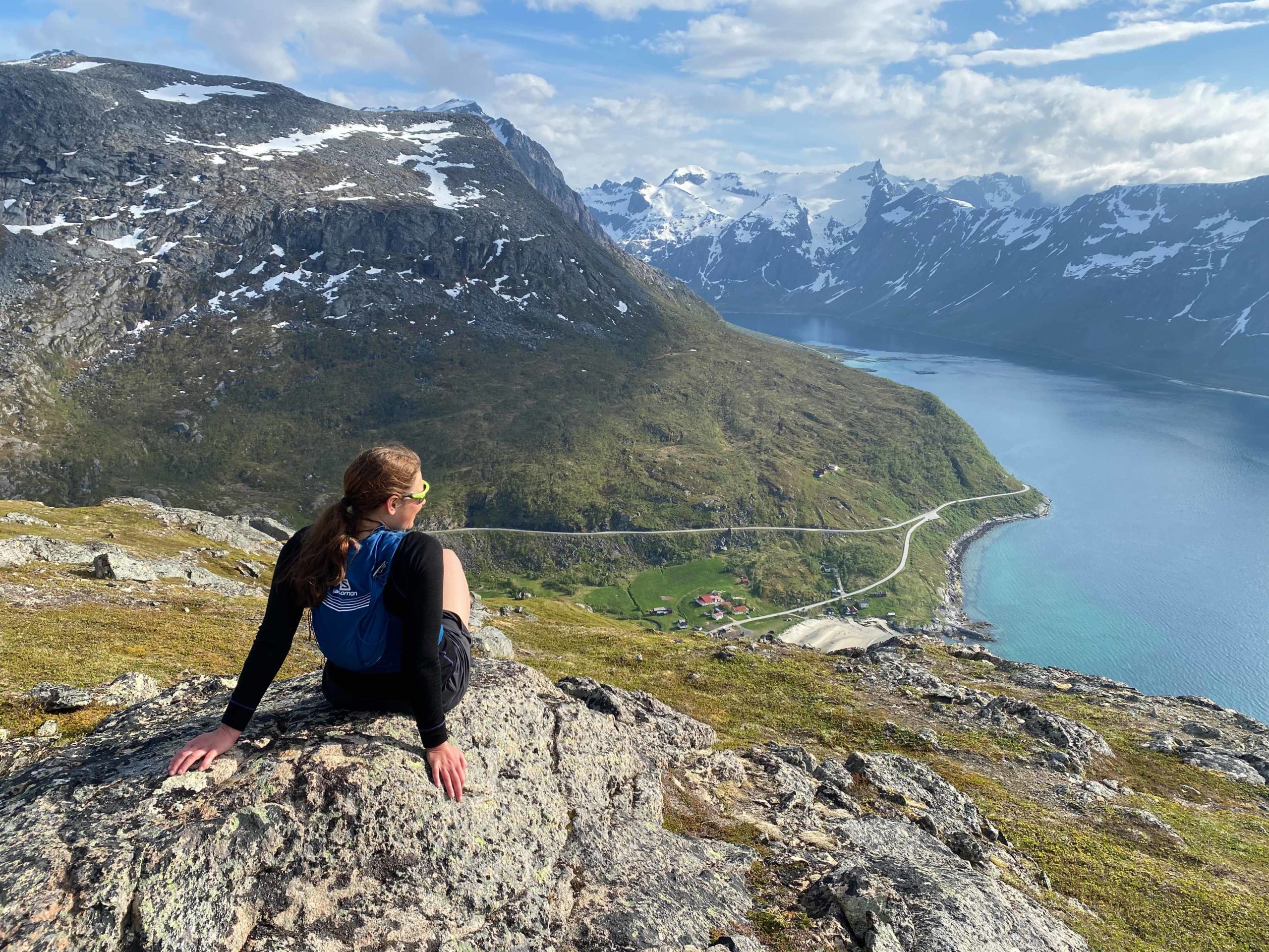
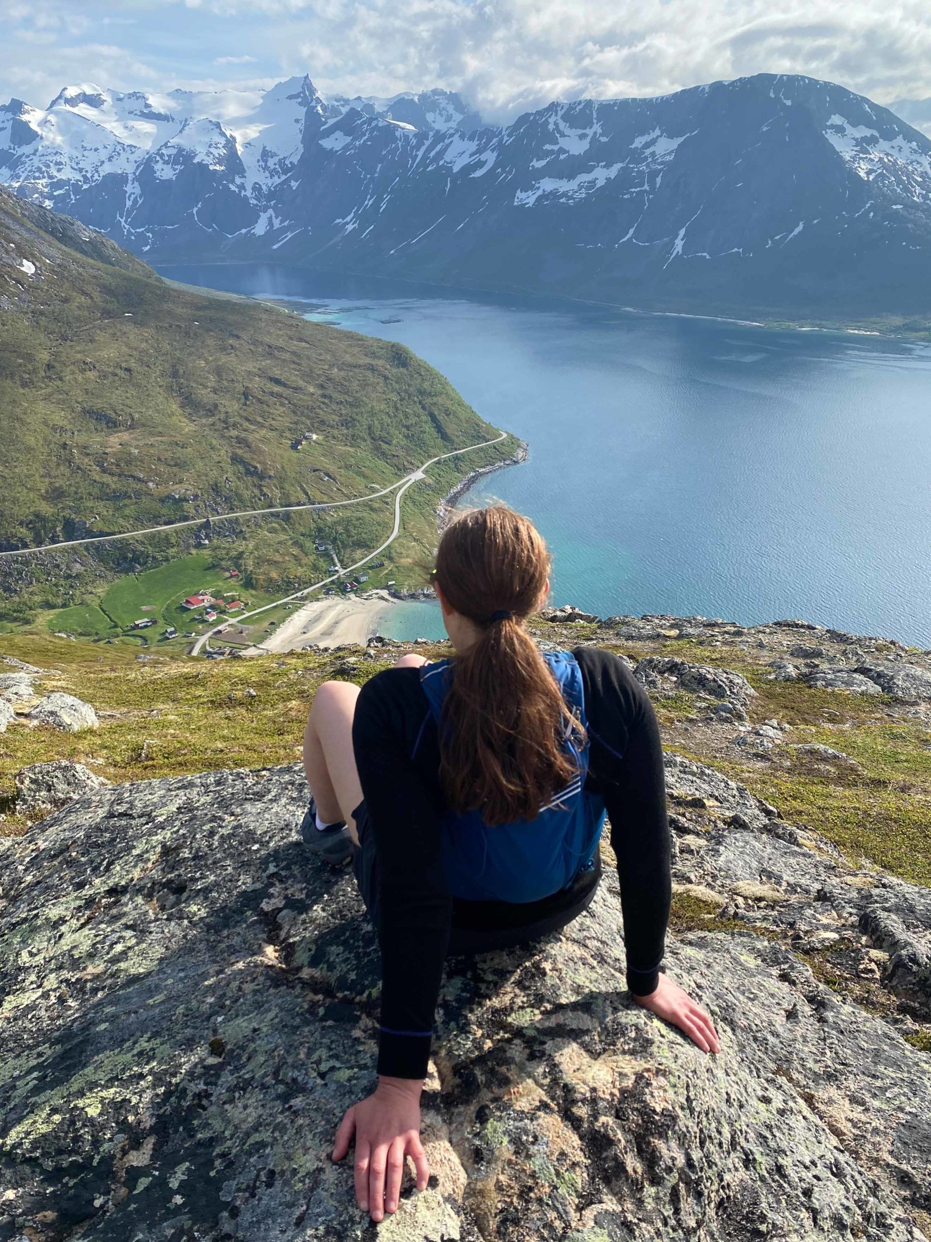
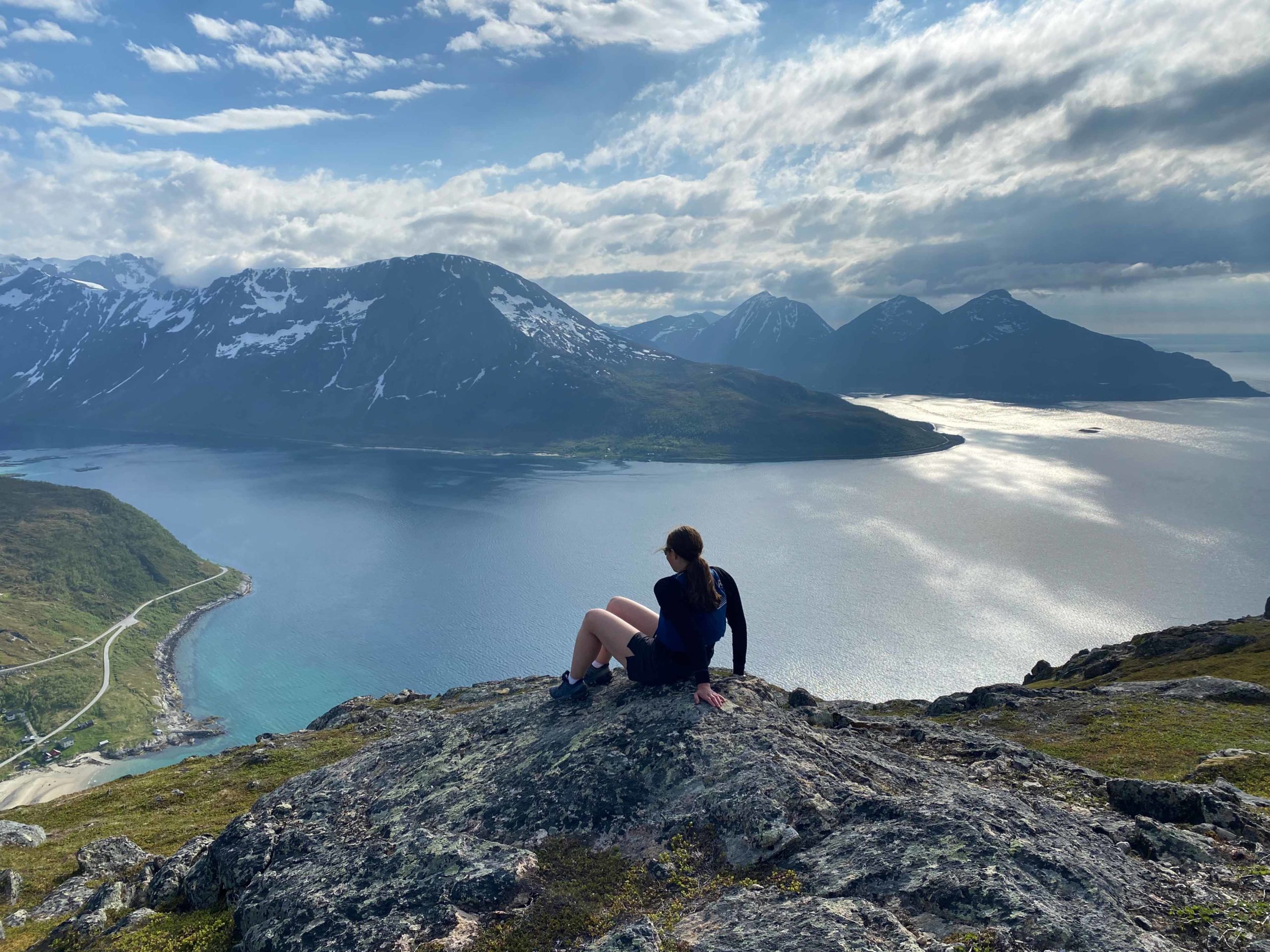
The first few hundred meters of the walk are in the light birch forest, and it doesn’t take long before you gain altitude and reach the treeline. On the way up, you get increasingly better views of Grøtfjorden on your left, and when you come up to a slightly gentler area, you will get a good view of the popular swimming beach in Grøtfjorden (see picture below).
Turn right to reach the top
On the way up, you cross a small bridge. From this area the path becomes more visible, and after a few minutes you should turn right when the path starts to turn right. When you get to this point, it is possible to choose to go straight ahead if you want an alternative route. However, this is unmarked, and you have to be confident in your own navigation to find a good route to the top. Note that there is usually cover here, but you must be aware that stepping over at this height will quickly cool you down. Therefore, take the necessary equipment with you so that you can get down on your own in the event of a minor accident.

The alternative route is less marked in the terrain
On the way up Brattfjellet, you will at some point have the opportunity to go left or higher at what is a slightly indistinct crossroads. There is no sign for an alternative route, but the route continues straight ahead, instead of to the right where you come directly up to the top. If you choose to walk around, you must be aware that there is no clear path, and you must be comfortable with finding the top again on your own using a map or GPS.

Need help to plan?
Visit Tromsø runs the city’s visitors centre and official website