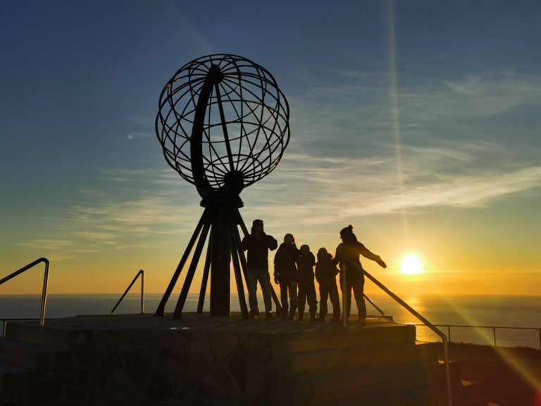
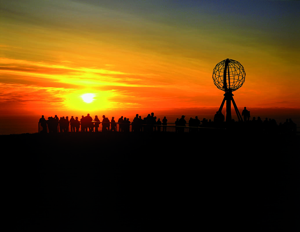
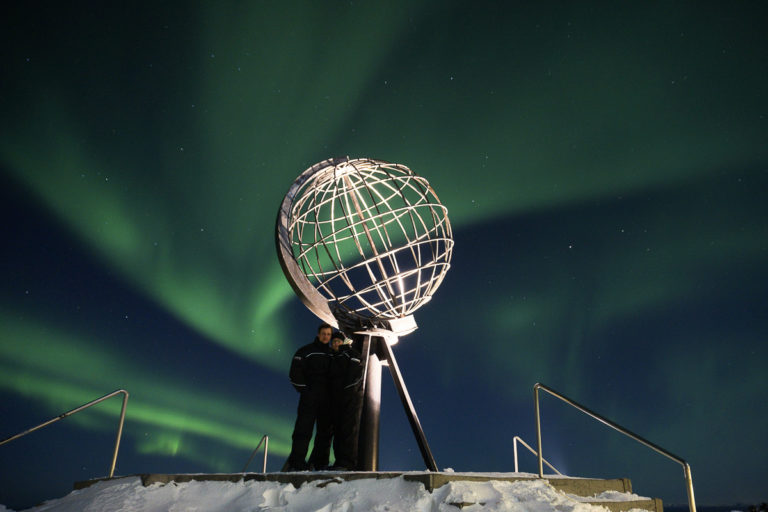
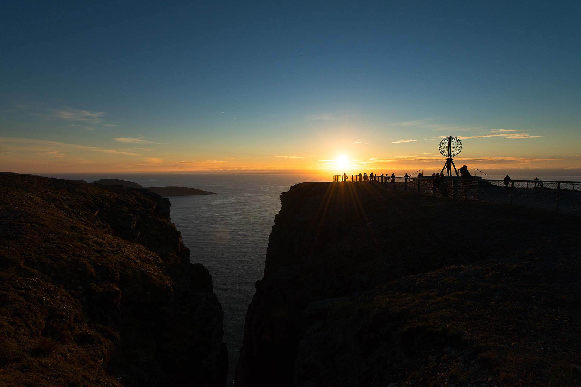
The 307-metre (1007-foot) cliffs at the North Cape are firmly established as Europe’s northernmost point. Cruise tourists and bus groups, mobile home tourists and hardier explorers such as long-distance cyclists take selfies of themselves with the iconic globe in the background, perhaps even with the midnight sun. However, the observant tourist will notice the low headland which can be seen on the left, Knivskjelodden. Although it is far less impressive than the cliffs of North Cape, it is actually 1450 metres (4750 feet) further north. Many people will therefore consider the trip to North Cape to be incomplete unless they make it all the way to Knivskjelodden.
Hiking to Knivskjelodden
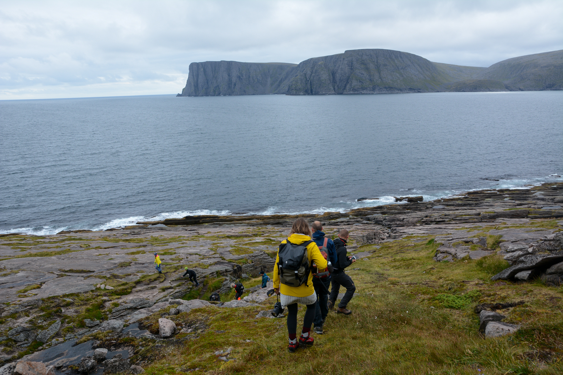
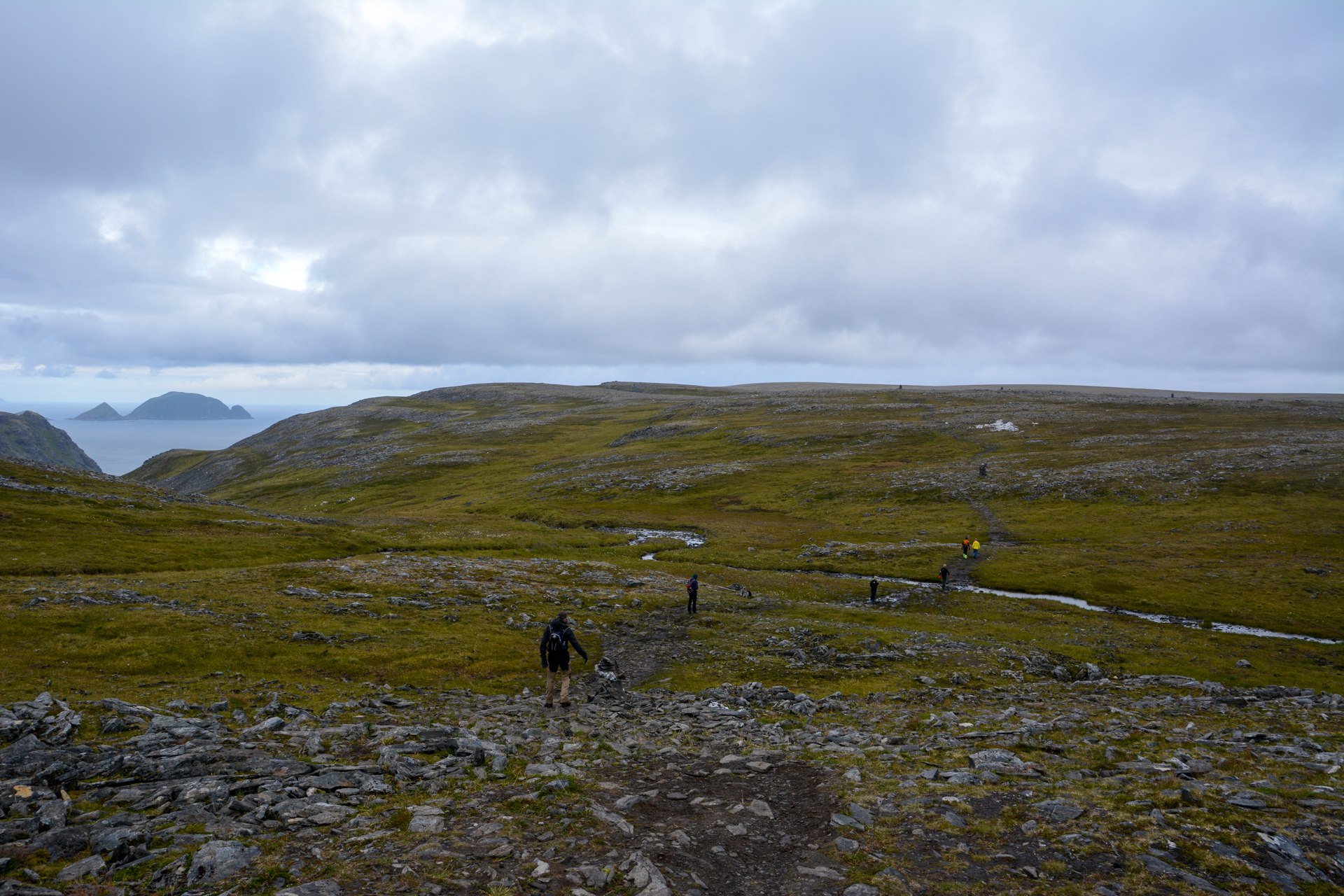
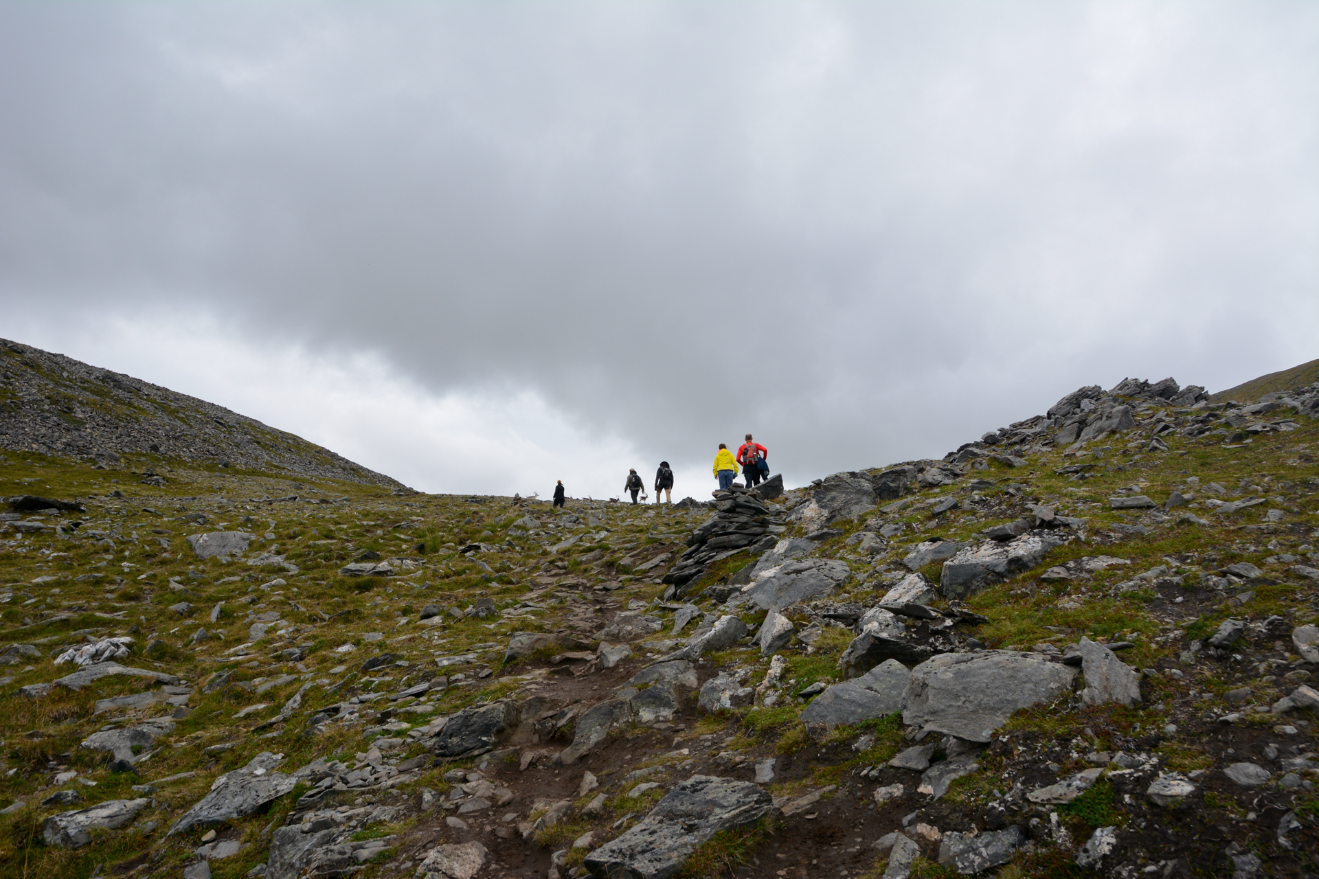
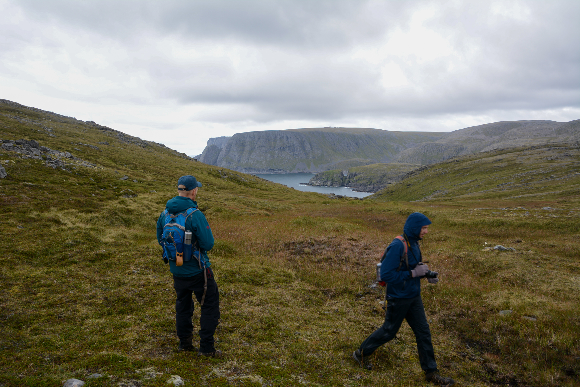
We made the hike one grey day in August. We parked in a car park on the road between Skarsvåg and North Cape. From here, a marked trail extends to Knivskjelodden. The path, which is rocky but not particularly difficult to walk on, initially drops down slightly. As we continued along the path, we passed a couple of small lakes and then continued on through a peaceful valley with greener, taller vegetation. Along the way, we saw the characteristic silhouette of Gjesværstappan, a group of high, steep-sided, grass-covered islands, against the grey sea mist out towards the west.
Down towards the sea
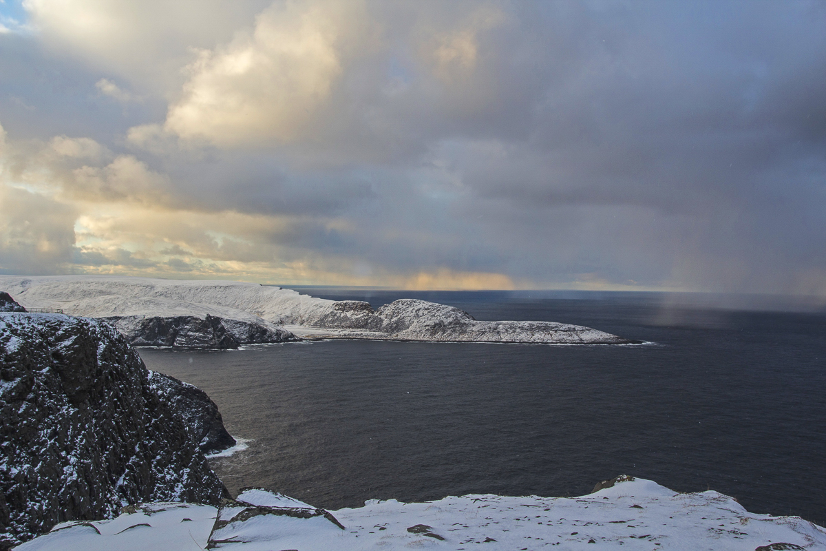
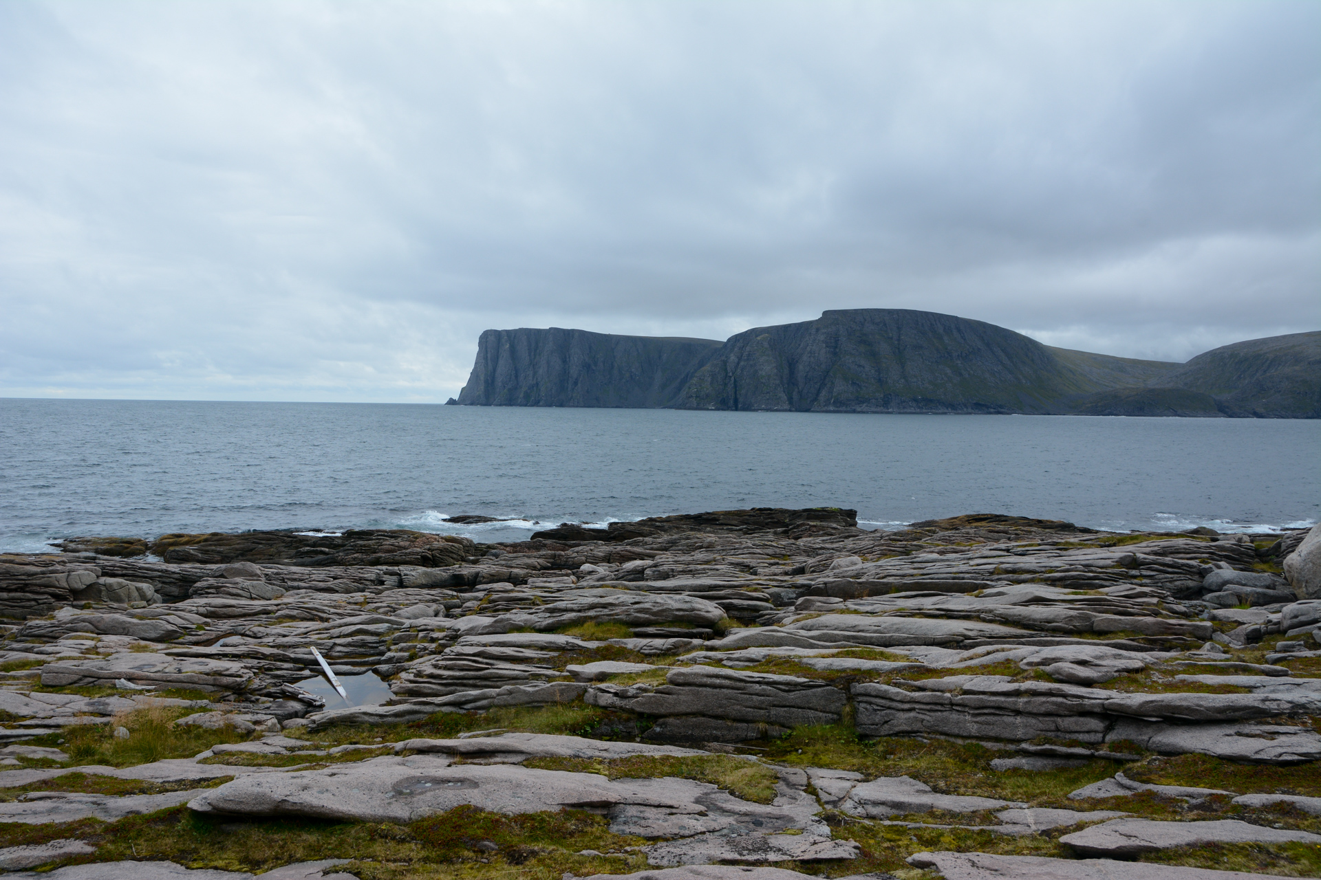
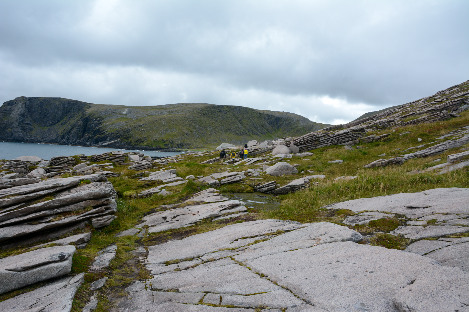
A fairly steep descent led us to down to the beach in the bay of Knivskjelbukta. We crossed a grassy meadow with a sandy beach full of driftwood to reach the start of the Knivskjelodden headland itself. From here, we could see the cliffs of North Cape, rising 300 metres (1000 feet) straight up on the other side. Now all we had to do was cross the smooth rocky slabs of the headland. We zigzagged a little across the peaty sections in order to walk on the smooth rock as much as possible.
Furthest north in Europe
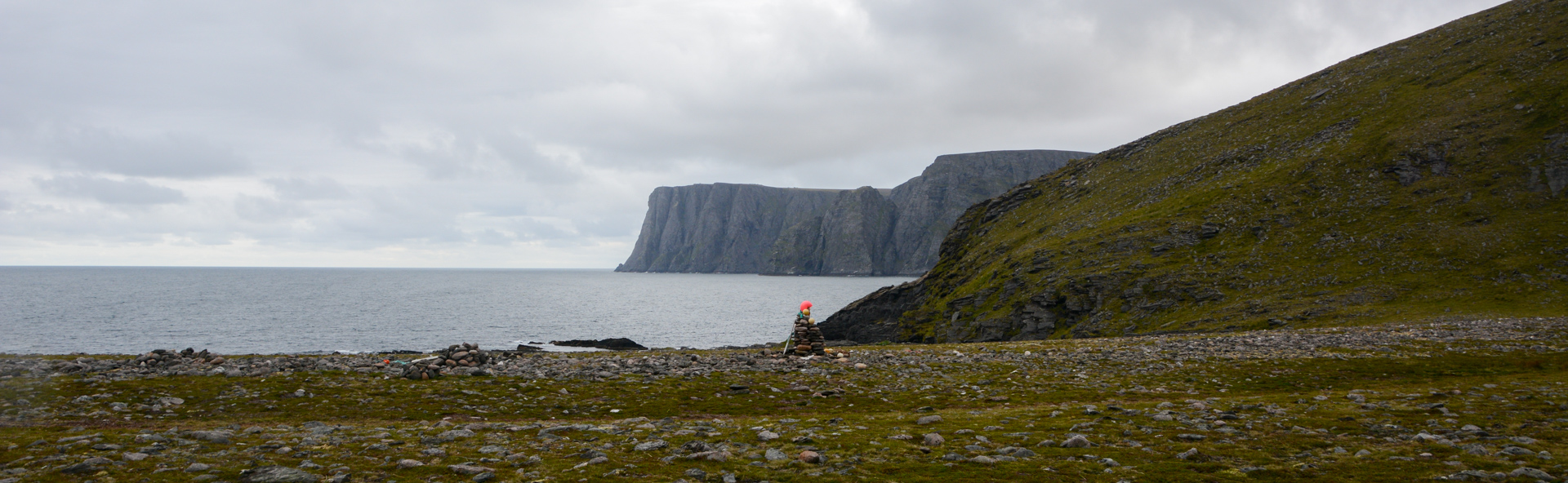
Finally, we reached the outermost low headland. Here, there was nothing but waves lapping against the hard rock, a solitary boat far out to sea and the view stretching southeast across to the North Cape plateau. The feeling of having reached the edge of the world was very tangible. A cairn was built here in 2000, and a delightfully photogenic scene it makes too, with the cliffs of North Cape across the bay in the background. We wrote in the book and set out on our return journey.
Practical information about Knivskjellodden
Anyone who can hike 19 km (12 miles) can reach Knivskjelodden. There are no demanding climbs or exposed sections, and it is mostly dry underfoot. The path is a little worn in places. The smooth rocky slabs of the headland may seem a little unsettling to the inexperienced, but just take your time. The path is well-marked all the way.
Wind and waterproof clothing are recommended. The climate is somehow unstable, so ensure that you have extra clothing in your backpack. Be generous with your packed lunch too.