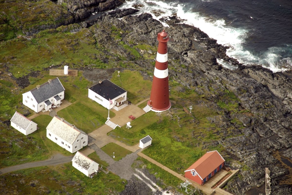
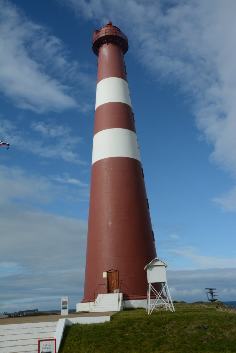
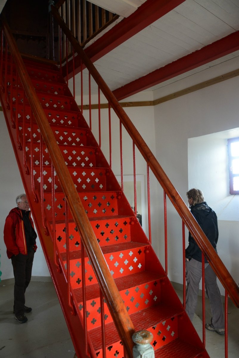
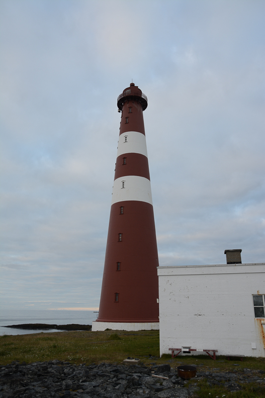
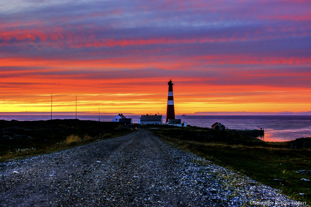
Slettnes Wildlife and Cultural Heritage Site is at the north-east end of the Nordkyn peninsula, between the fishing village of Gamvik and the northernmost mainland lighthouse in the world at Slettnes. This area is rich in bird and plant life, and has been inhabited for thousands of years, which has left traces of its cultural heritage clearly visible in the landscape. A well marked trail goes takes you through this area, in a loop beside the sea, up onto heathland and between lakes further inland.
The area was once a hive of activity
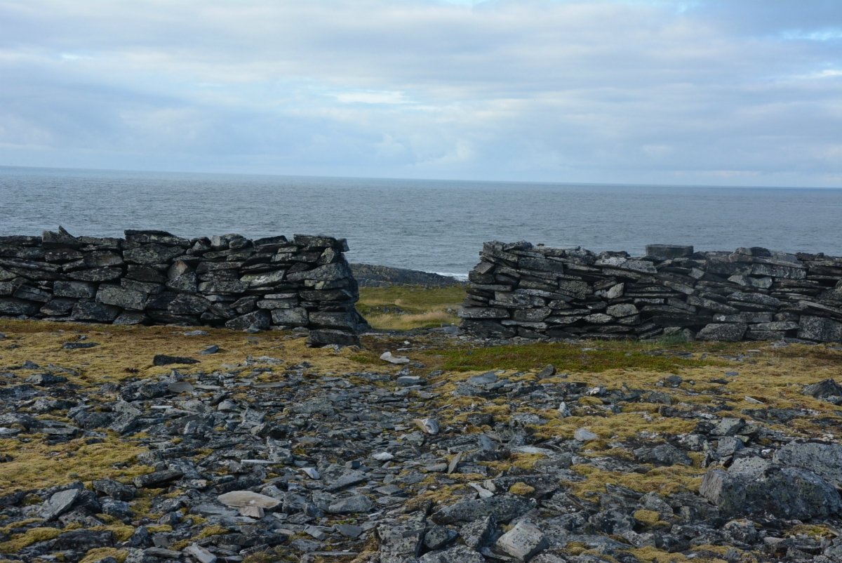
If you had been visiting the area 100 years ago, you would have found people living there. Sea Sami turf huts, the combination houses of the Kven (cowshed and dwelling in the same building) and Norwegian timber houses were all clustered around the small inlets along the outer coast, and there were also jetties and ‘rorbu’ fishermen’s cottages for seasonal fishermen. They were made from local turf, drift timber and Russian timber.There were boathouses and ramps along the shoreline, and sheep and goats grazing on inland fields. The fishing boats were small enough to be dragged ashore by hand. Motor boats arrived in about 1900 though, and these needed quays, so people moved to bigger fishing villages. After the settlements were burnt to the ground in the Second World War, they were not rebuilt, and people settled in Gamvik instead.
Practical information on hiking in Slettness
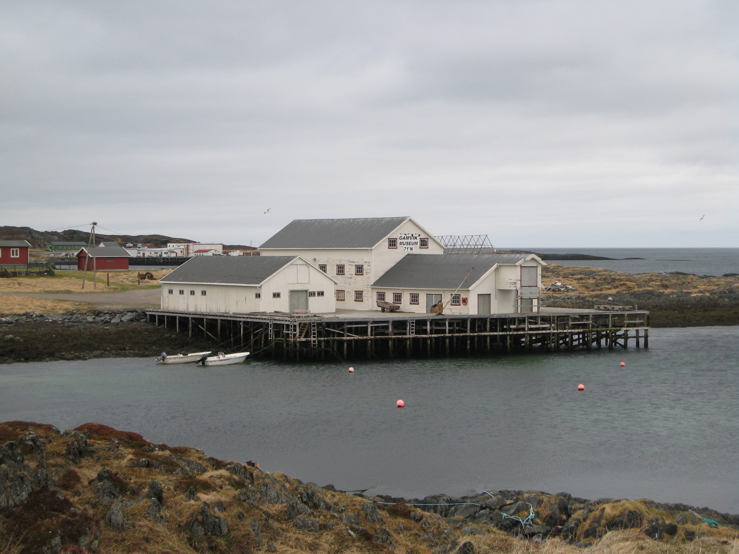
Slettnes is located on the north eastern side of the Nordkyn peninsula in Finnmark. The easiest option would be to fly to Mehamn with Wideroe from any of the main airports in Northern Norway (Tromsø, Alta, Lakselv etc). You can also arrive by the hurtigruten boat which stops in Mehamn where there is a hotel. From Mehamn you can rent a car and take the journey to Gamvik and start your hike. On your way through Gamvik it is worth checking out Gamvik museum where you can get an insight into the region’s history and culture setting the scene for your hike.
The Nordkyn peninsula is full of small fishing villages and cultural sights. To get all the information you need for this rugged windswept part of Finnmark simply check out the Visit Nordkyn webpage.

Evidence of a lost world are scattered across Slettnes
Traces of these people can still be seen easily in this open, treeless landscape. Long stone walls criss-cross the area. You can see that the vegetation is lusher at the sites of dwellings than in other places, there are traces of boat ramps on the shoreline and of foundation walls of the small houses. In Daumannvika, you can just make out the remains of a ‘hellegrop’, a pit lined with flat stones that was used to boil seal and whale oil. In Steinvåg, there is a labyrinth. These tend to be found in Sami graves, and could be connected with ceremonies among the Sami Iron Age community.
Unique bird colonies live among the many lakes
When the path curves away from the sea, it brings you up to a more stony landscape dotted about with small lakes. In summer, these attract flocks of wading birds and web-footed birds. Norway’s biggest colony of arctic skuas can be found at Slettnes. Dunlin, ringed plover and golden plover are easy to spot, and you are bound to hear the angry scolding of the turnstone. There are many divers on the lakes, and several species of duck in the area.

Vegetation is surprisingly widespread for the Finnmark coast
Plant cover at Slettnes is astonishingly lush and widespread, and is in stark contrast with the stony landscape that dominates the Finnmark coast. In late summer, crowberries, cloudberries and blueberries abound. Some of the plants are arctic, and are not found any further south than the Finnmark coast, such as the saltmarsh starwort and sulphur buttercup. Chives, meadow buttercups and yarrow grow on the old hayfields.
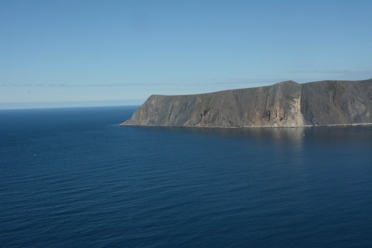
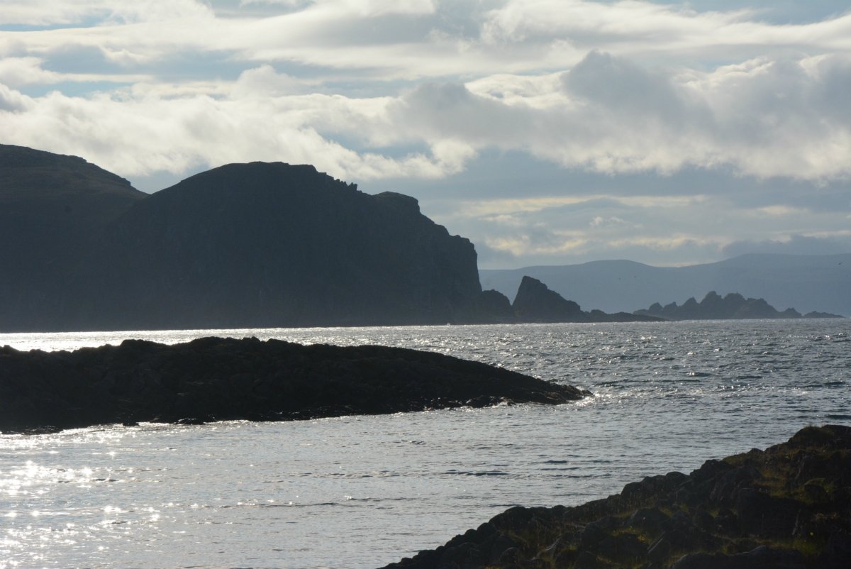
The rugged coastline extends out to the flat horizon of the Barents Sea
To the west, you can see the characteristic Bispen mountain (‘Roald Amundsen’), and further away is Kinnarodden, the northernmost tip of the European mainland. For much of the walk, you can see Slettnes Lighthouse, and you can also see white waves breaking over skerries in the shallow, treacherous waters just off the coast. Further out there you may see freighters and trawlers, or perhaps just the endless Barents Sea.
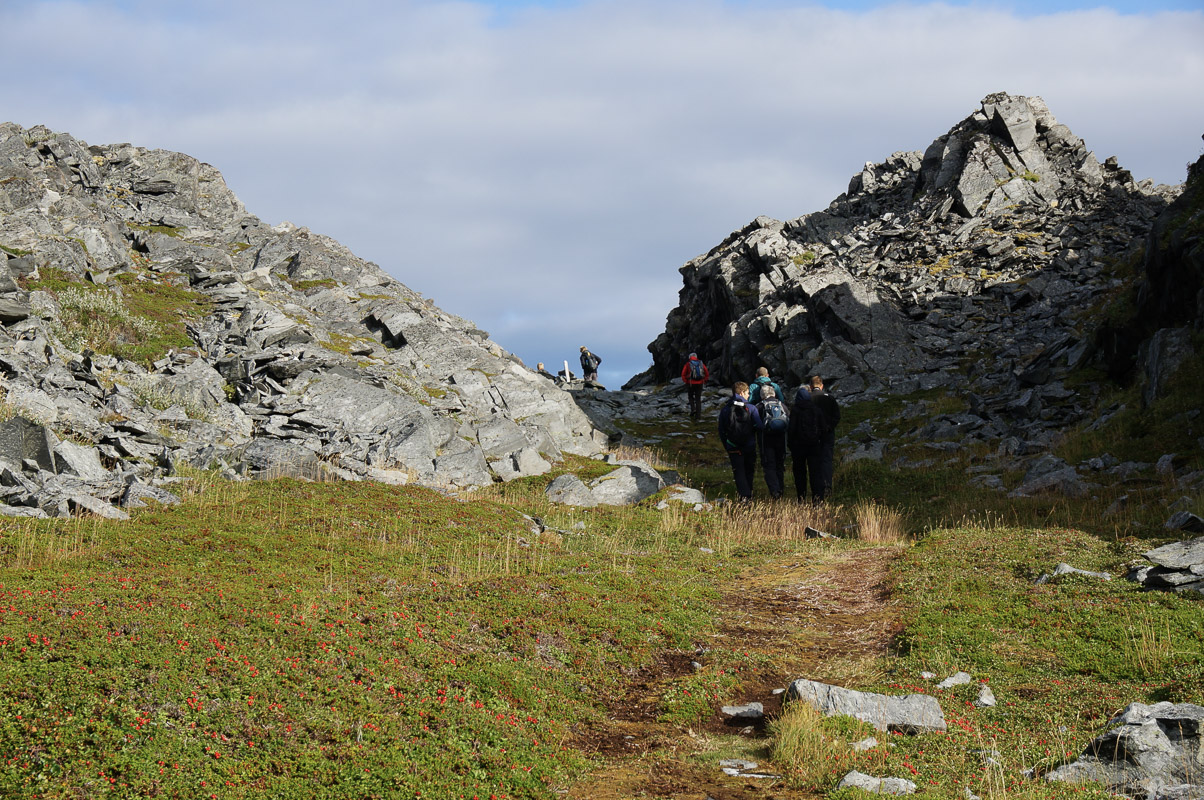

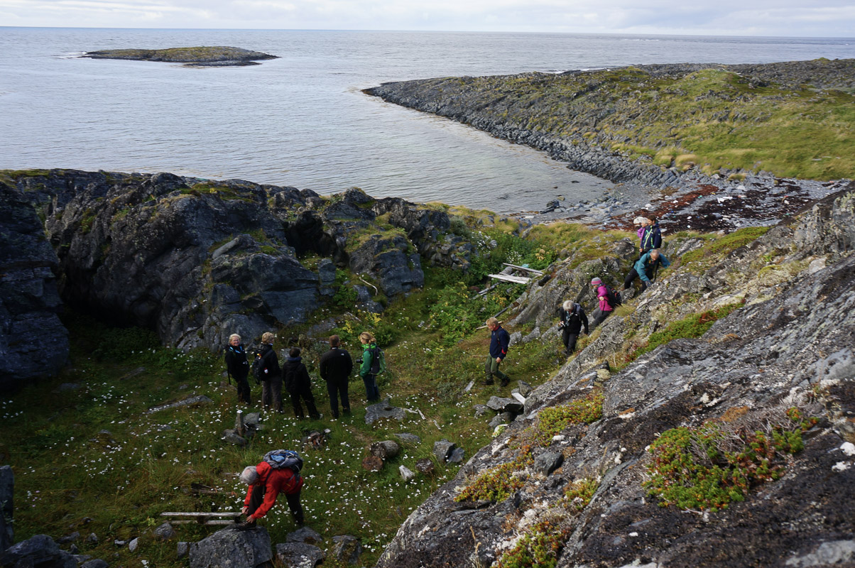
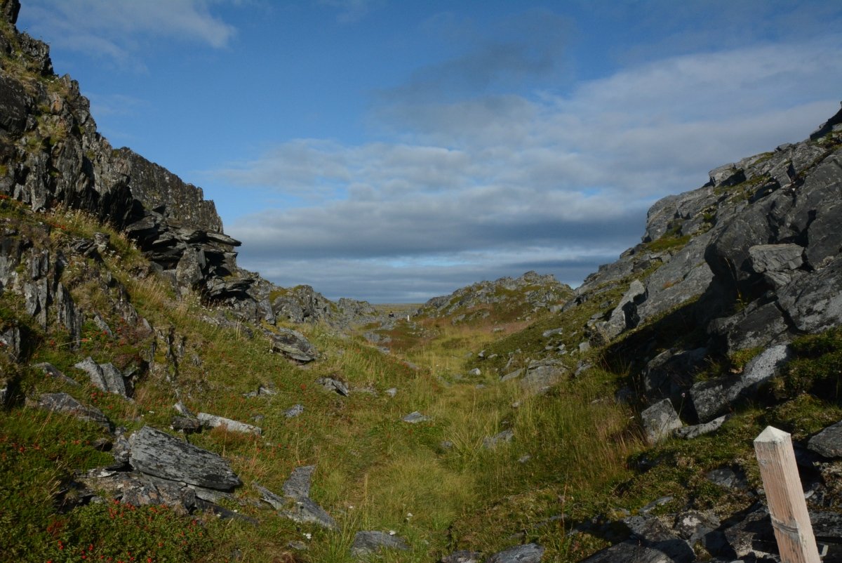
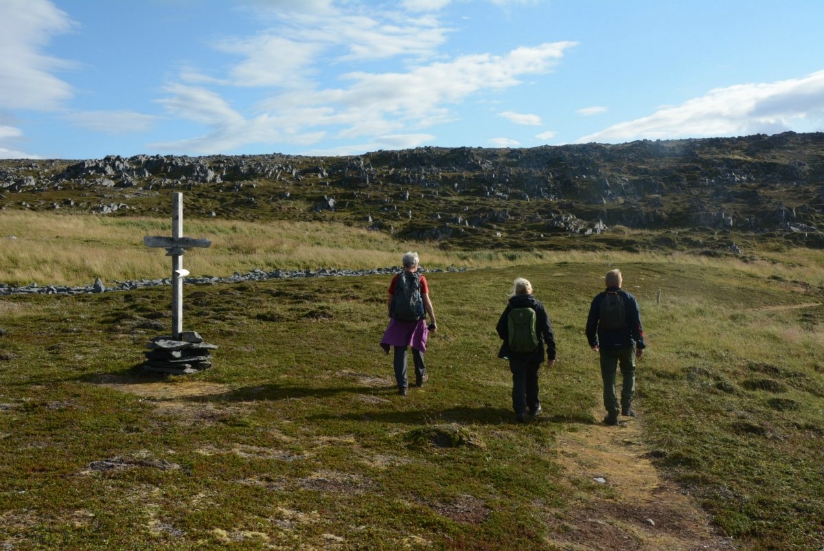
Hiking at Slettnes is not an arduous task
You might think that hiking beside the Arctic Ocean is an extreme sport. However, the terrain here seems more like a park, with crowberries and heather, grassy trails and some small marshy areas. There are a few rocky bits, but it is mostly flat slopes that make for comfortable walking. Waterproof shoes with good soles are therefore adequate, but remember a windproof jacket. The trail is very good and clearly marked, with information boards to give you a brief introduction to the history of the area.