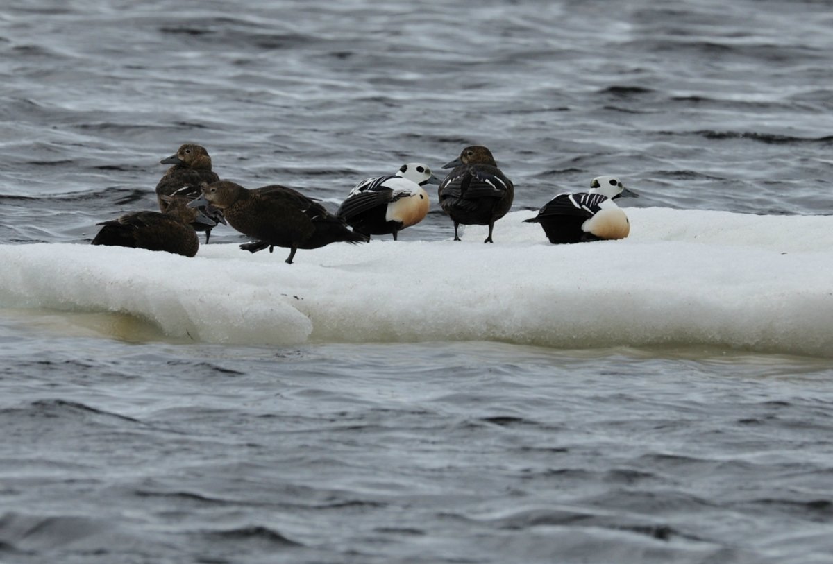
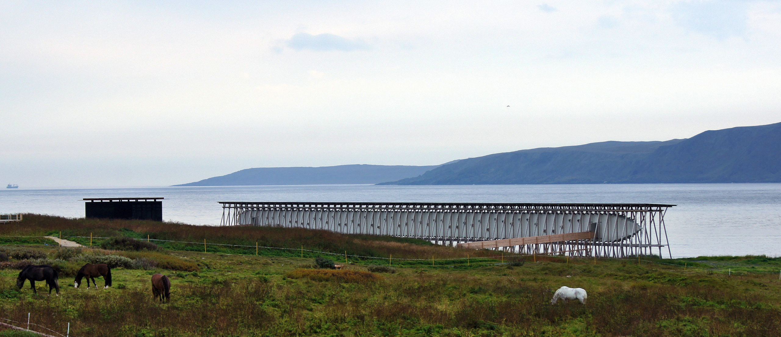
The journey from Varangerbotn takes you from birch woods through wide Arctic plains to the lunar landscape of Hamningberg. The cultural variations are just as strong, from Sea Sami hamlets at the head of Varangerfjord through villages founded by Finnish immigrants in centuries past to the Norwegian fishing villages at the peninsula’s outer reaches. The Norwegian Scenic Route in Varanger is 154 km long.
Hightlights along the Norwegian Scenic Route in Varanger
Gorgŋetak/Gornitak
A wartime ammunition bunker is turned into an iconic rest area
Nesseby church
Iconic 1858 church dominating the landscape
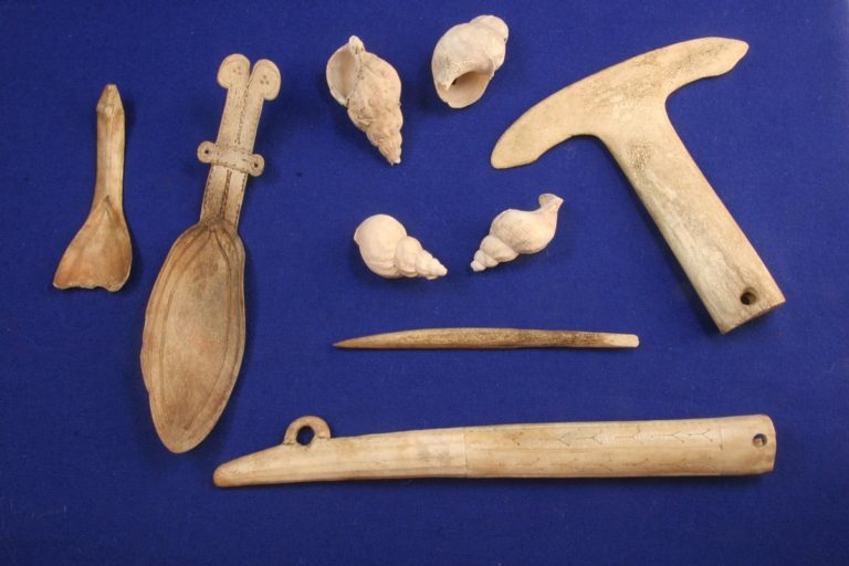
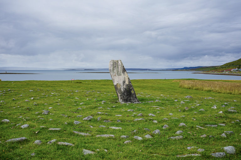
Ceavccageaðge/Mortensnes
Archaeological zone with remnants from the last 10 000 years
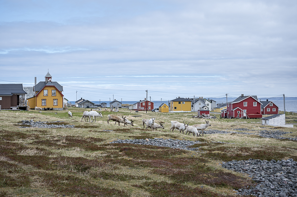
Vadsø
Norway’s Kven/Finnish capital with some unique old architecture, an airship mast and some good food and drink
Ekkerøy
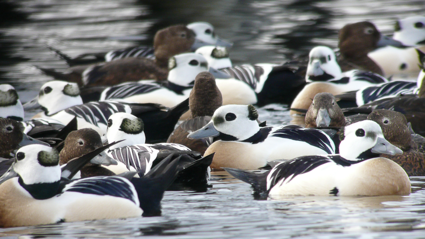
Charming village with quaint houses and a giant kittiwake colony
Kiberg
Visit the Partisan museum about an unknown war history, and walk Norway’s eastermost headland among the wartime bunkers
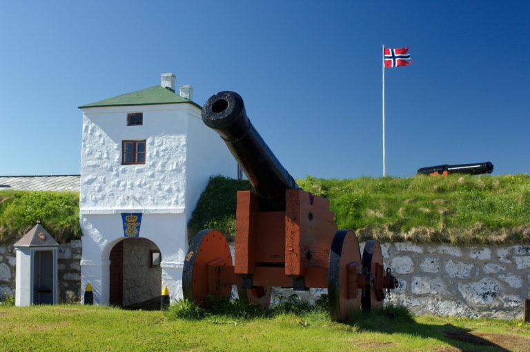
Vardø
Historic mini-city with a star-shaped fortress, a colourful architecture, street art, a memorial to witches and a boat trip to a bird colony on Norway’s eastermost point
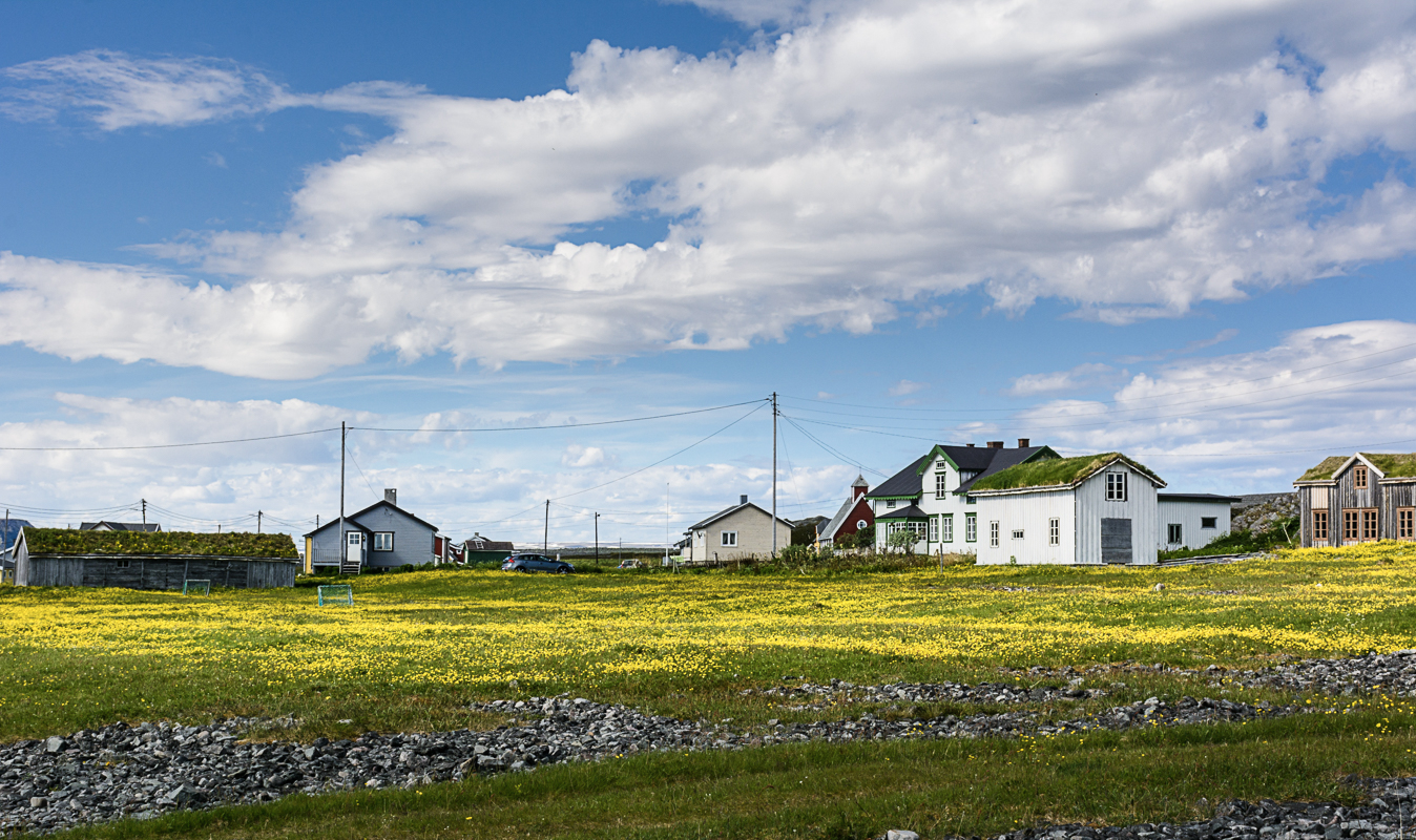
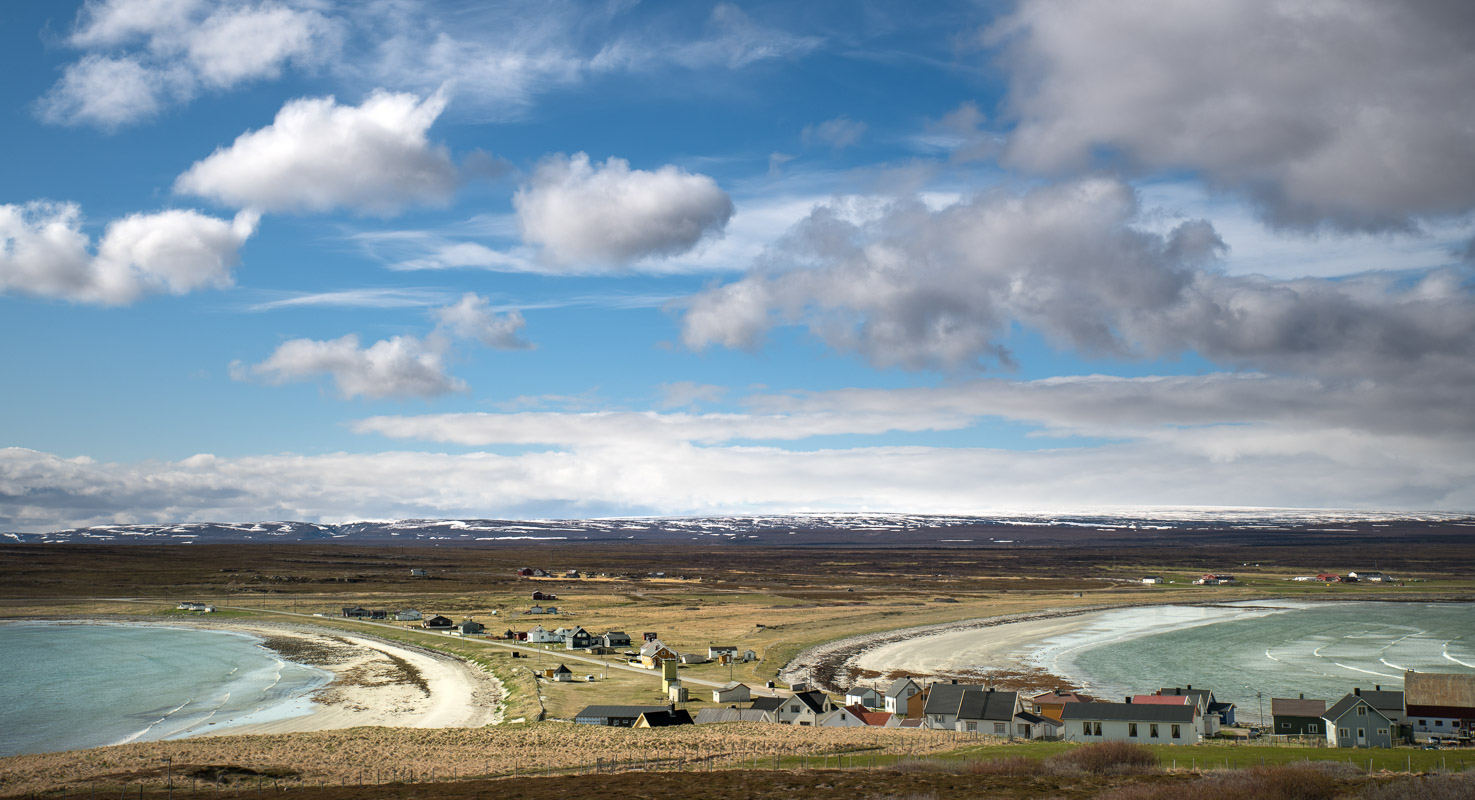
Hamningberg
Well-preserved 19th C. village, abandoned in 1970 and revived every summer. The drive there goes through lunar landscapes
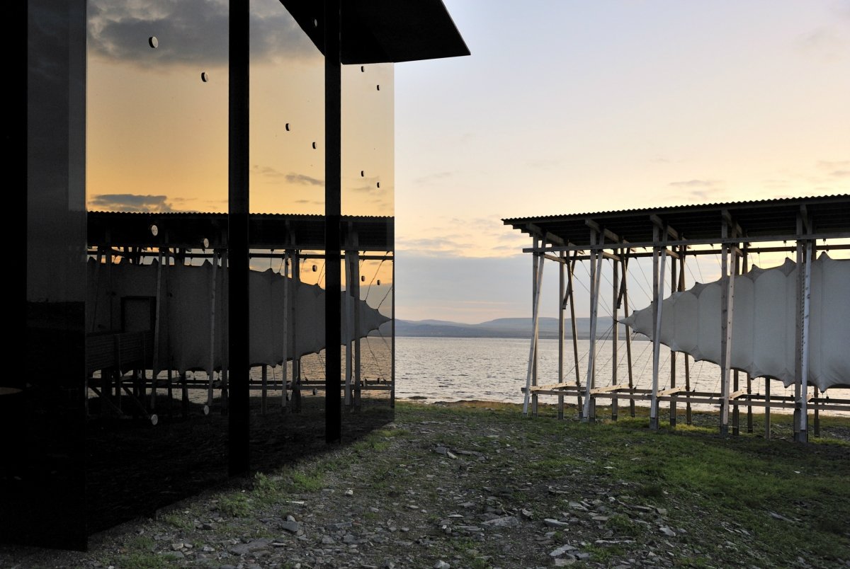
Start your journey at Gornitak’s explosively beautiful rest stop
The route begins at the Sea Sami hamlet of Gornitak, with a picnic area that was originally a German ammunition depot from the Second World War, but which has now been transformed into a modern, designer rest stop.
Practical information on the Norwegian Scenic Route in Varanger
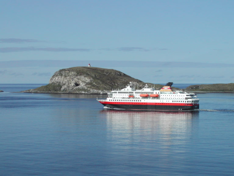
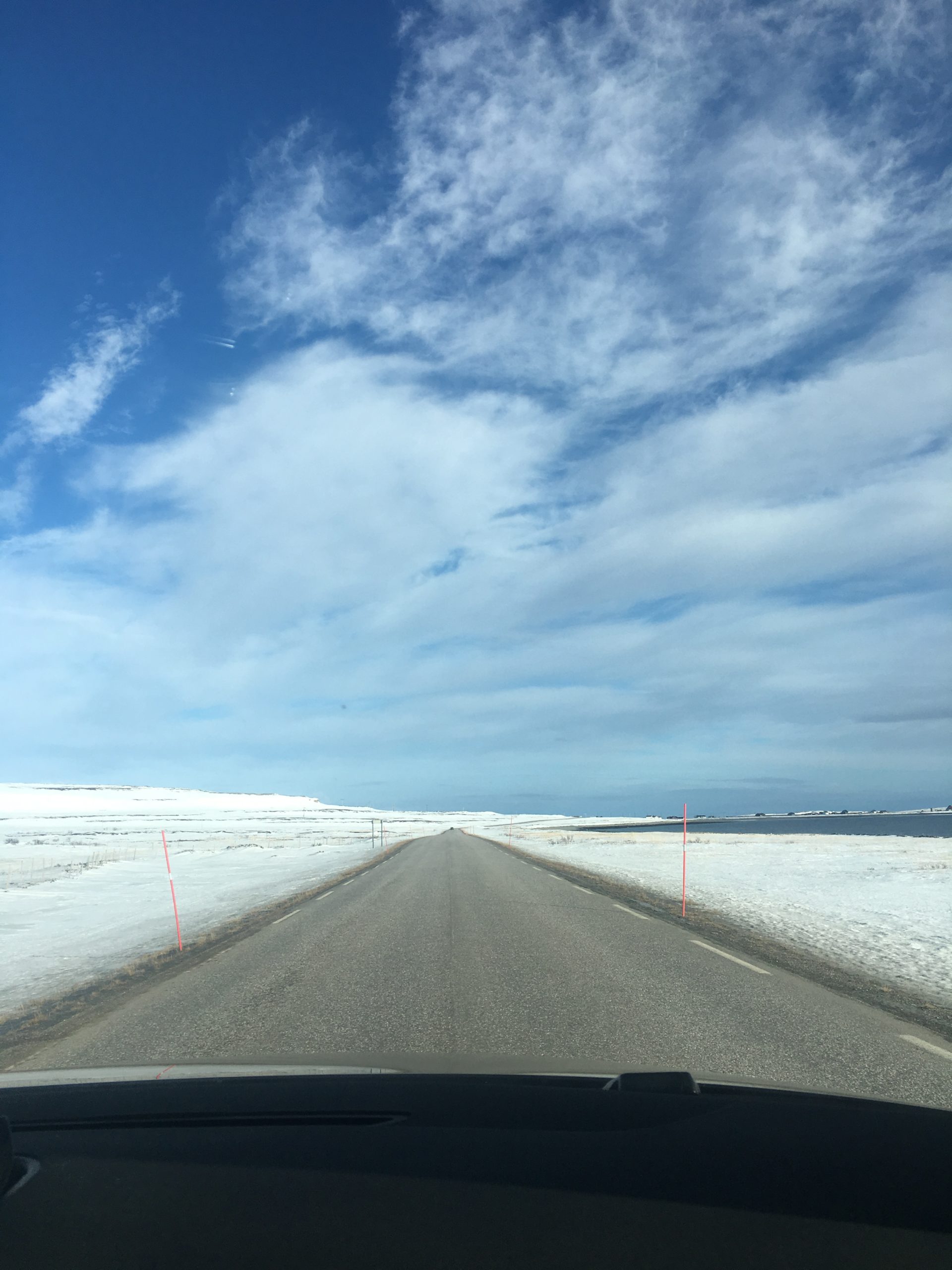
Varanger lies in the far north east of Norway and can be accessed by car, air and the hurtigruten boat system. Most people will rent a car in Kirkenes and take the E6 route westwards before taking the E75 northward from Varangerbotn.
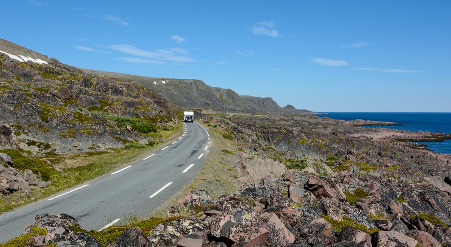
Summer and early autumn are good time to take the route. During the winter the road is very exposed to blowing snow meaning driving conditions can be very challenging. The road from Vardø to Hamningberg is also shut during the winter months due to the rapidly shifting nature of the weather conditions.
Visit Varanger has a great website with all the information you’ll need about the area. Meanwhile for the route itself including maps you can check out the Norwegian Scenic Route’s webpage.
The road is good, and the traffic limited, so it poses no particular problems. Except, of course, in winter when driving conditions can be difficult. To learn more about safe driving in Norway, consult the Norwegian Public Road Authorities – Statens vegvesen – and their web arcticle on safe driving.
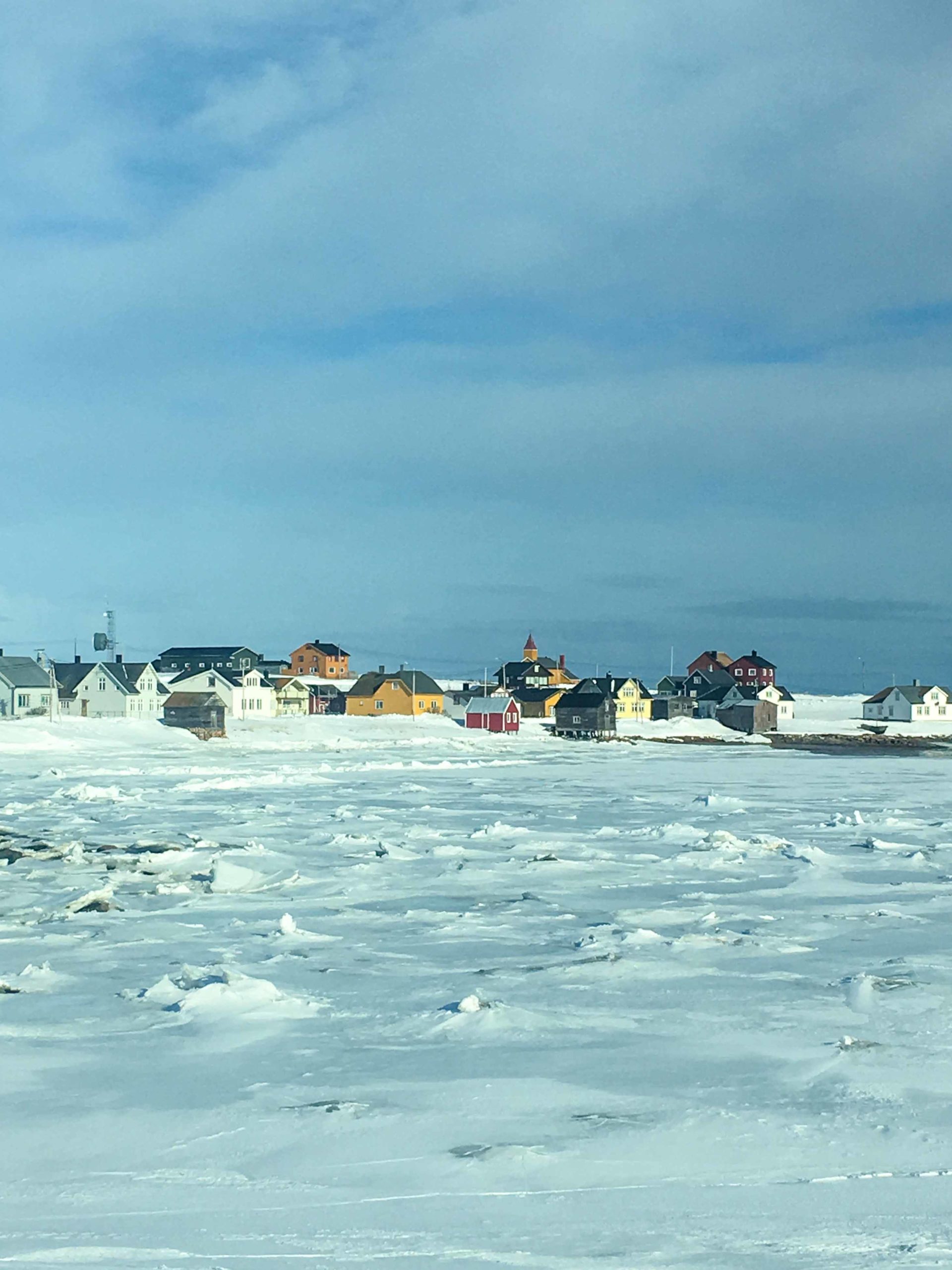
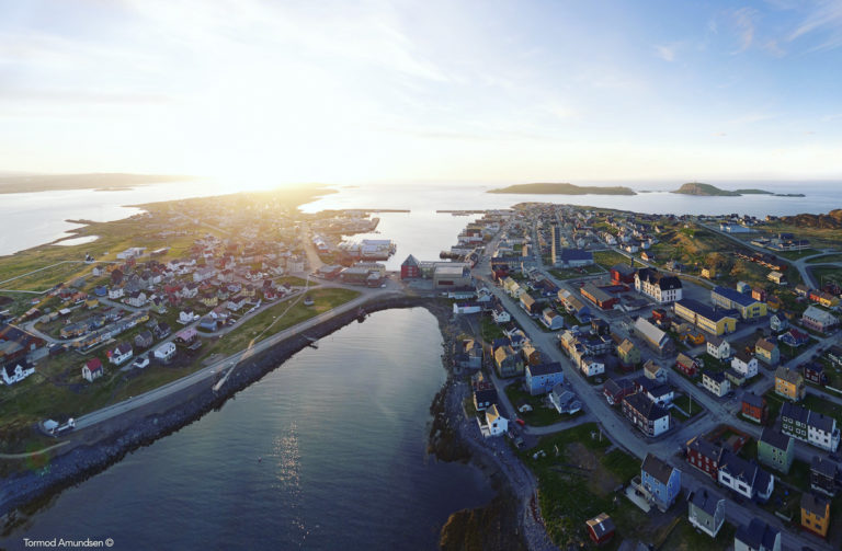
Vadsø is Finnmark’s capital city
Finnmark’s county capital Vadsø has a population of approx. 6,000. At the end of the 19th century large numbers of Finnish immigrants, who the Norwegians dubbed “Kven”, settled in East Finnmark, and Vadsø became known as the Kven capital. Aspects of Kven culture can be seen at Tuomainengård, a 19th century Kven farmhouse that is now a museum. In contrast, Esbensengården is a Norwegian merchant’s house from the same period. The airship mast at Vadsøya was used when the airship Norge headed north on its expedition to overfly the North Pole in 1926.
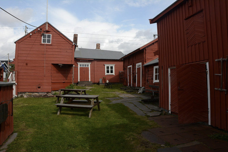
Ekkerøy is a bird watchers idyll
Ekkerøy is a charming fishing village, whose pre-war buildings have been well preserved. Every summer Fugleflåget, easily accessible just outside the village, becomes the nesting site for 20,000 kittiwakes. Kjeldsengården, with its general store, racks for drying fish, cod-liver oil factory and quayside, is today a small local museum.
Kiberg was home to partisans
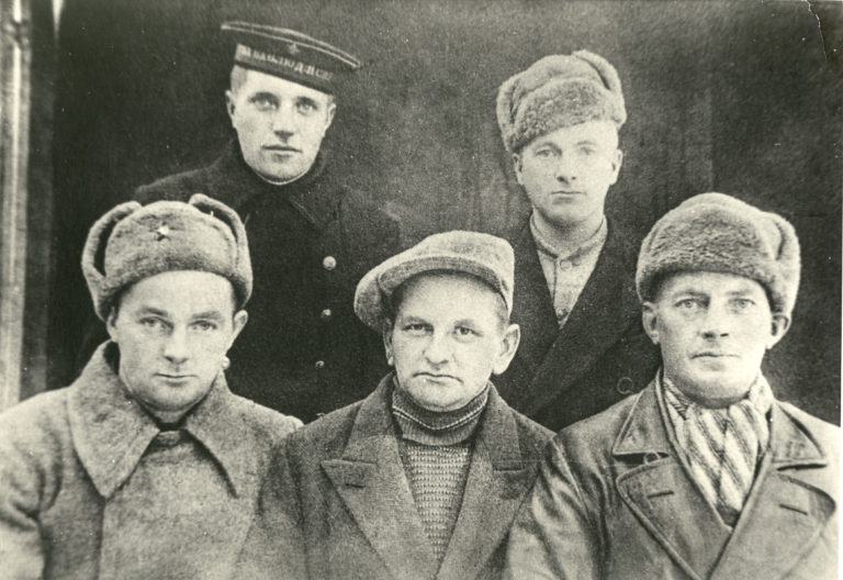
The fishing village of Kiberg, whose population is of mixed Sami, Finnish and Norwegian descent, is famous for its wartime partisans. During the German occupation of Norway, young men would cross into the Soviet Union for training in guerrilla warfare, returning to take part in resistance activities. When the Second World War turned into the Cold War, the Soviet connection was seen as a threat by the Norwegian authorities, and many partisans were viewed with suspicion. The monument to the partisans that was unveiled in 1982 is intended to make amends for this and recognise their contribution to the war effort.
Vardø is an island home to fortresses, muraled buildings and witches!
Norway’s most easterly town, founded in 1789 it is the only one in the Arctic climate zone. July temperatures average less than 10 degrees Celsius. The star-shaped fortress Vardøhus from 1734 is the third such fortification to be built on this site. Just outside the town is Hornøya, Norway’s most easterly point – as far east, in fact, as Istanbul and Alexandria. The Steilneset Memorial, locally know as the Whiches’ memorial, is in memory of the 91 witches burnt in Vardø in the 17th c.
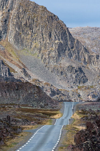
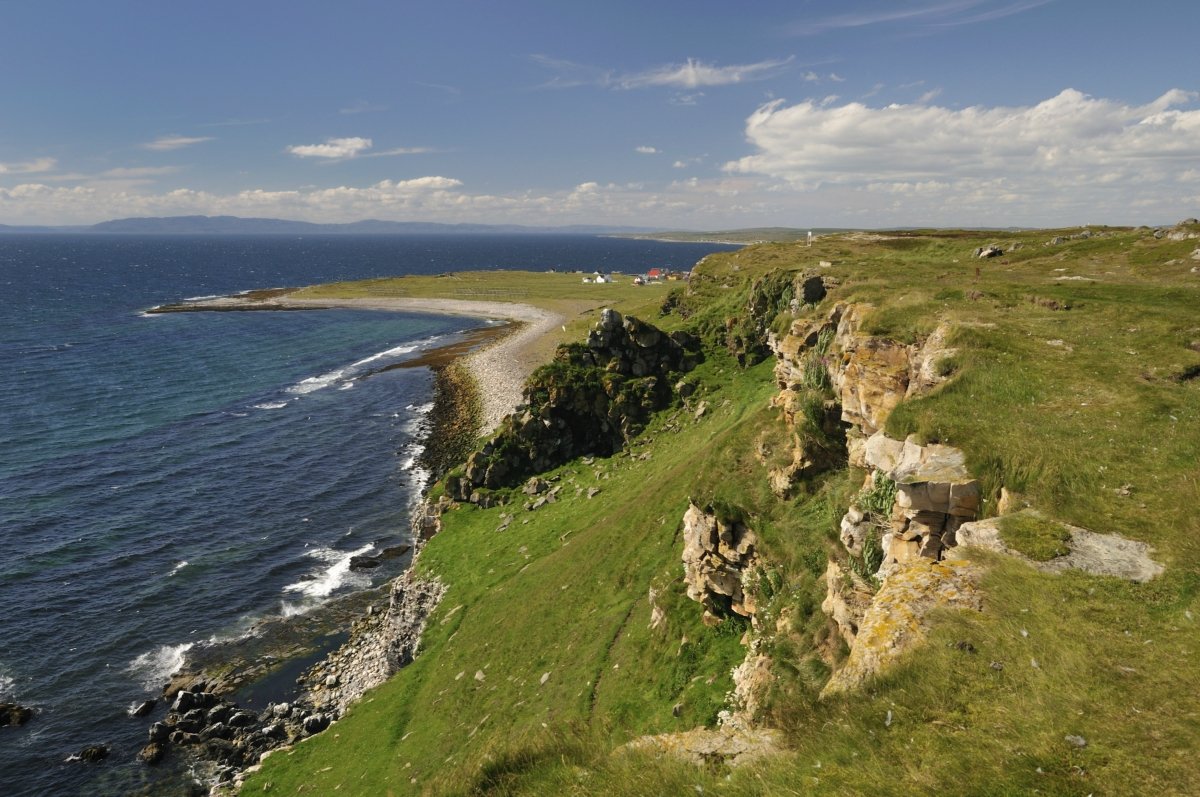
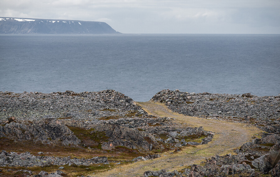
Wind and wave carved rocks lay witness to the brutal Arctic storms that lash this coastline
Northwest of Vardø the coastline stands scoured and naked, its geology as easy to read as an open book. As you approach Hamningberg a series of astonishing rock formations bear witness to the erosive power of the wind and weather.
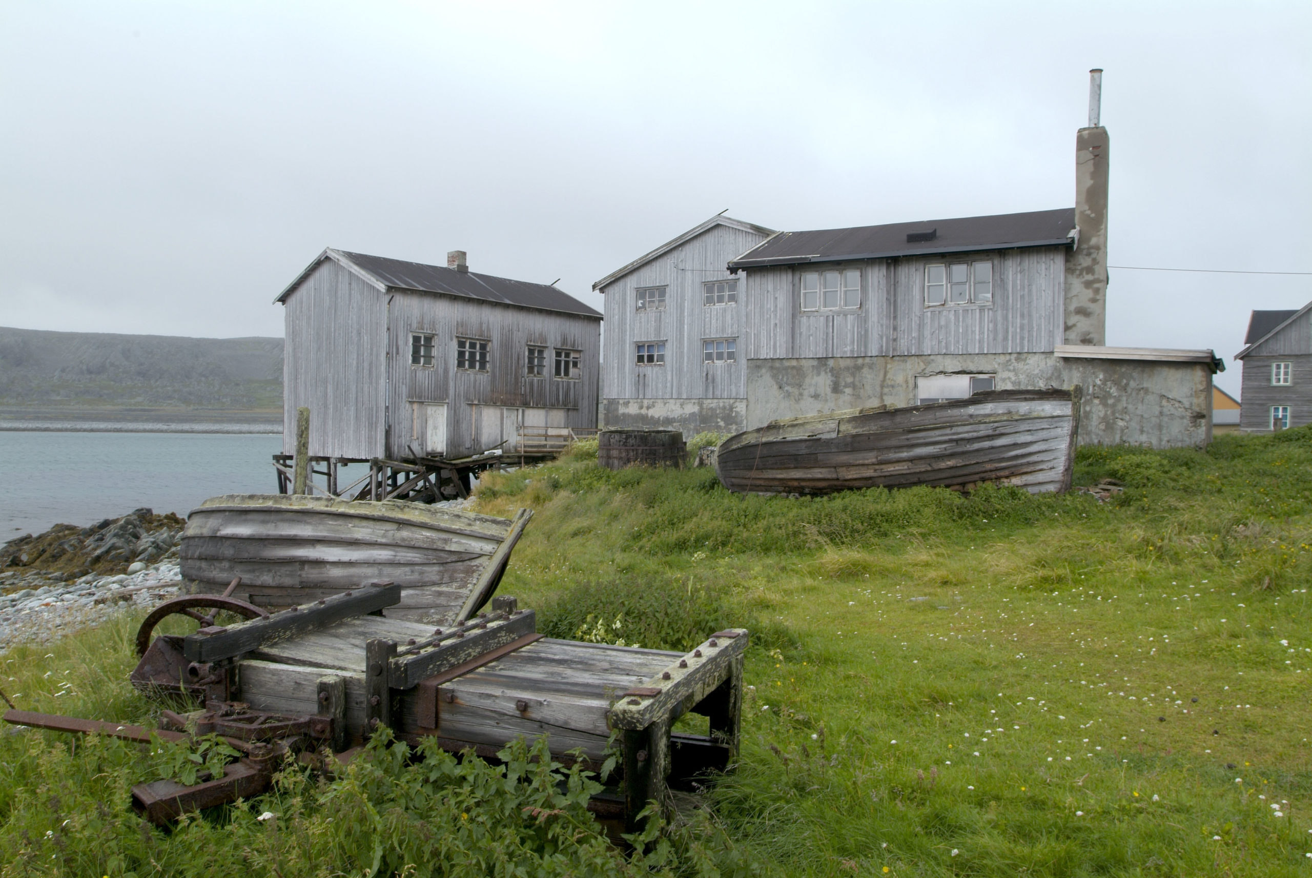
The road ends at architectural Hamningberg
Hamningberg survived the Second World War, but not the centralisation that took place in the 1960s. Here you can see a cluster of 19th century houses that create a unique historic environment. Some of the houses were prefabricated in the White Sea area and shipped here.