The day was fabulous: the sun shone, and there was a nip in the air. Winter had just loosened its hold, a little later than usual. In the first days of June, the birch had tiny buds, and the rowan was about to burst into large leaves. New shoots sprouted beneath last year’s grass. Looking up, I could see snow still clinging to the surrounding mountains on this east-facing slope.
The Heritage Trail
The kultursti – heritage trail – takes you through areas with clear signs of past human activity, especially connected to hunting marine mammals. Equally fascinating is the geology: although the rock is hundreds of millions of years old, the landscape was shaped by glaciers of the last Ice Age and their melting into the sea.
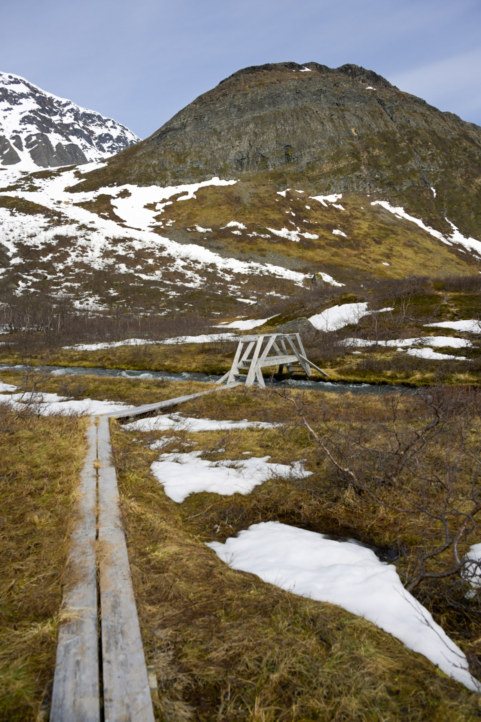
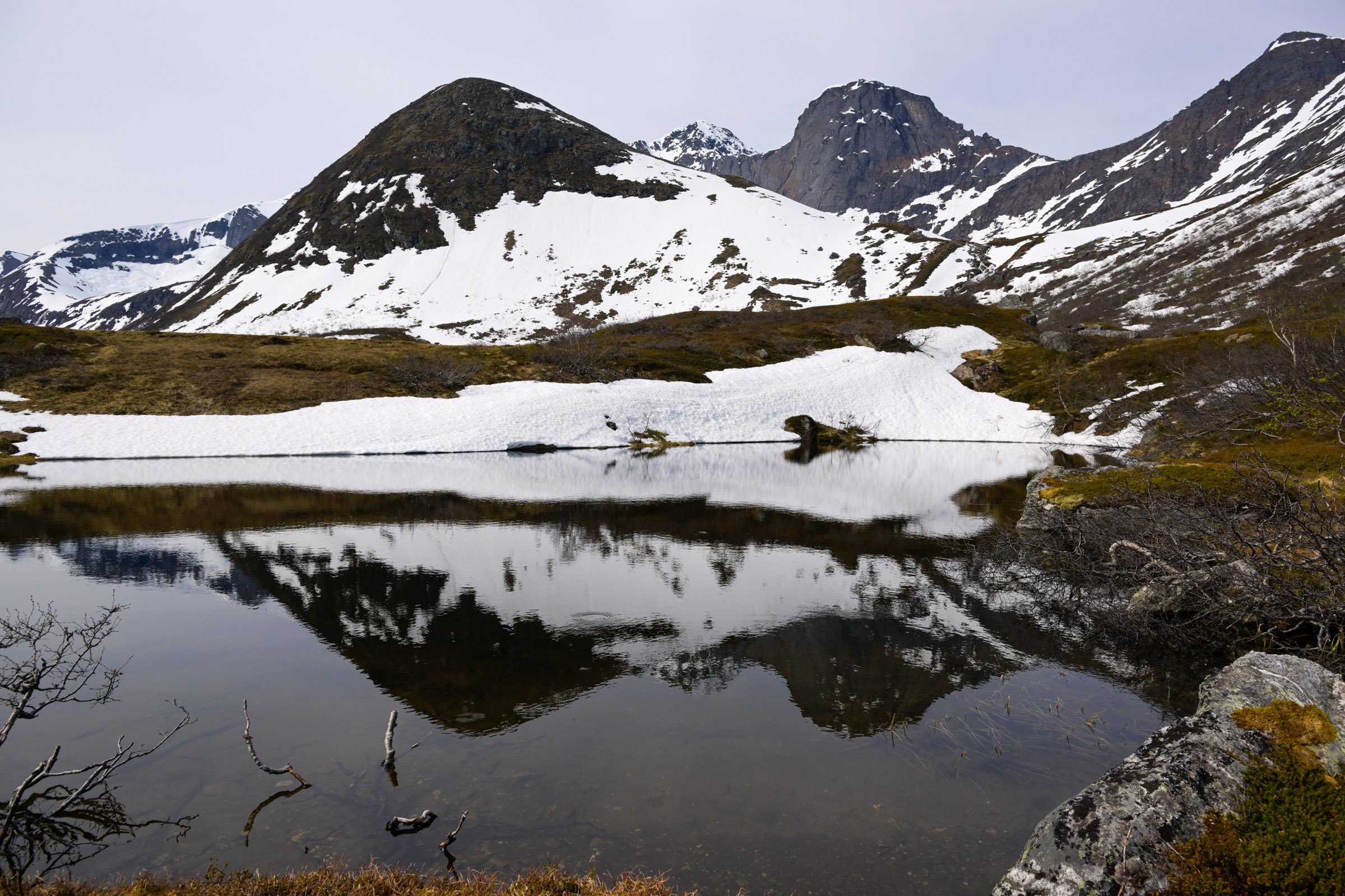
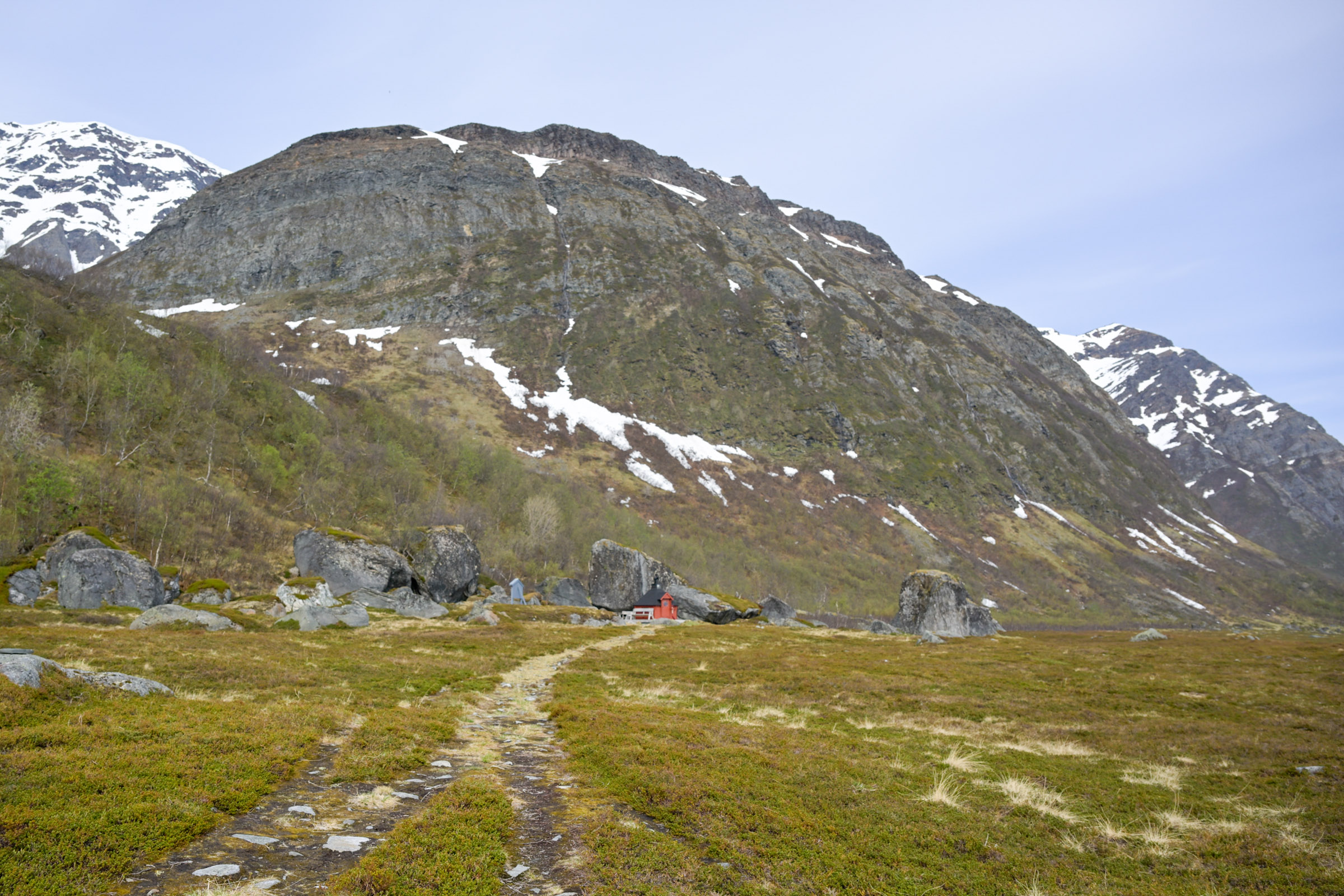
On this day, well ahead of the school holiday, I was alone on the path. I walked uphill, and after a few metres of steep inclination, I reached a notable terrace. The path led along this terrace for some time, then entered more broken ground, rising gently uphill. At places, snow still lay underfoot. A higher terrace was scattered with large boulders and small lakes; the landscape was stony with sparse vegetation.
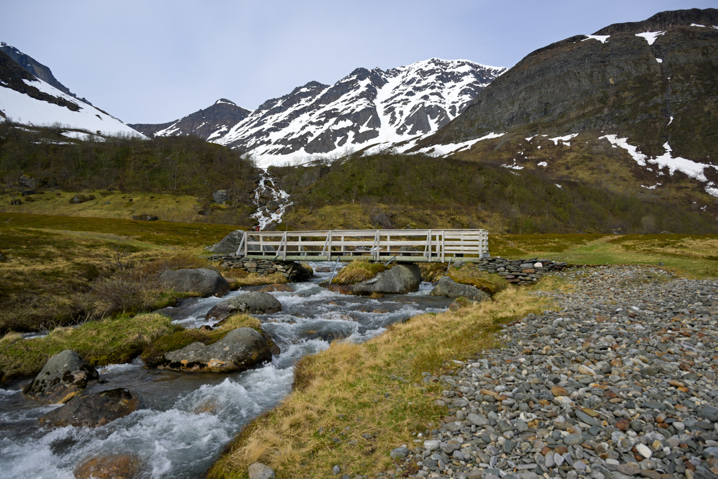
A meadow, according to the information board, was called Finnsletta – the plain of the Sami. Local tradition has it that yellow rocket was collected here, dried, and used as filling for Sami shoes. A small wooden bridge led across a lively spring creek, the water silvery grey with silt.
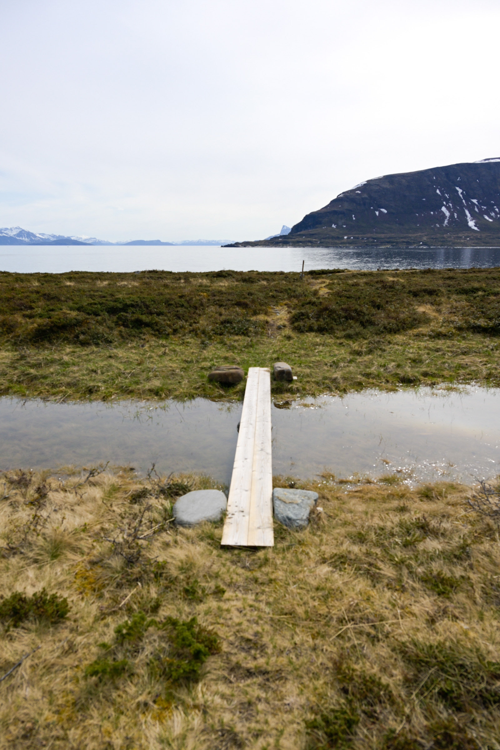
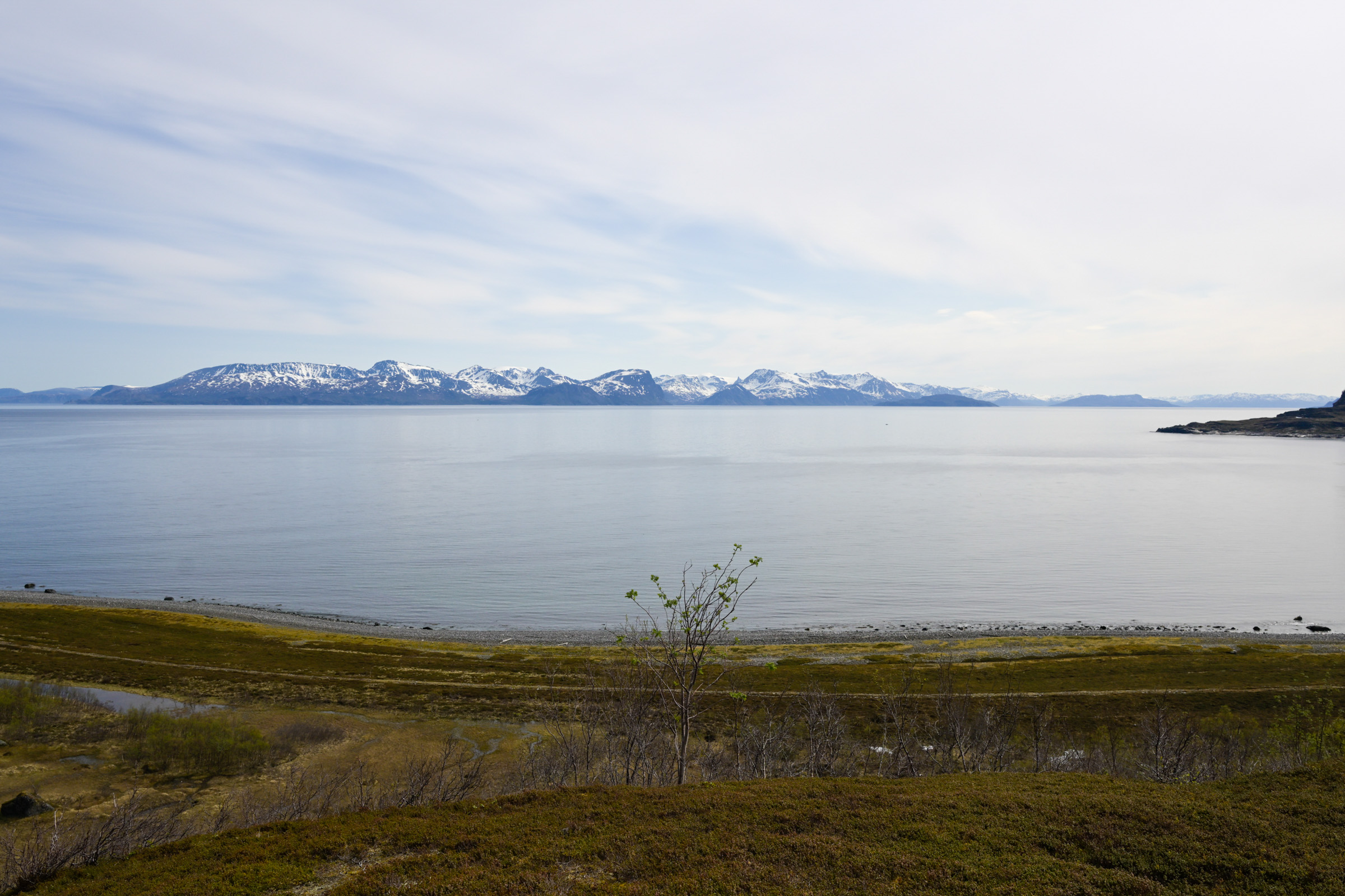
The view from this natural raised platform was sweeping. In the far north, I could see the open Atlantic. The fjord before me is the outer reaches of the Kvænangen, with rugged peaks rising in the distance. Laukøya lay slightly to the left, much closer, its steep slopes dotted with homes and green fields along the shore.
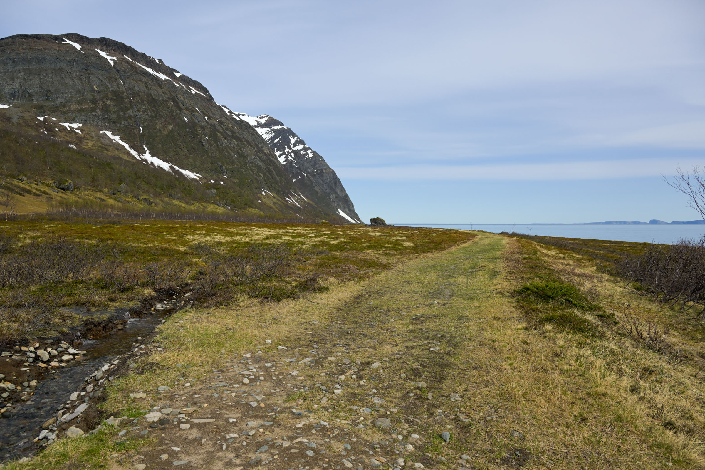
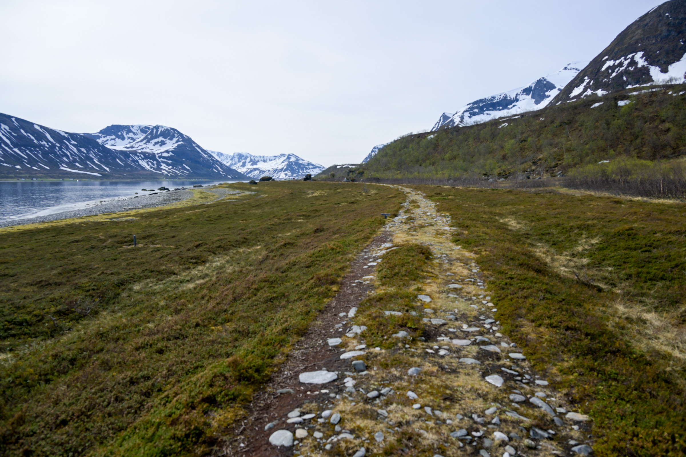
The path then descended steeply toward the beach, and the vegetation grew taller and lusher. Along the shore, a wide plain appeared, filled with rocks and low-growing vegetation. This is the major archaeological area, containing hellekister – rectangular stone-lined pits used to extract oil from fish and marine mammals. Hard to spot for the untrained eye, they nonetheless give the sense of walking on historic ground. Remnants of Stone Age and Iron Age houses are also present, again mostly visible to the trained eye.
A Textbook of Geology
During the Ice Age, 12,000–20,000 years ago, the Lauksundet waterway, then a valley, was filled by a glacier that deepened the valley floor. At the northern end of the sound, the glacier calved into the ice-free Atlantic. Smaller glaciers filled the valleys on Arnøya, including the Storelvdalen valley. As the ice melted, sea levels rose. The ancient shoreline, some 10–12,000 years ago, is now found at about 45 metres altitude.
As the weight of the ice lifted, the land began to rise, but not evenly. At Tareneset, this is visible as terraces stepping up from the shoreline. The path initially rises sharply at times, then follows a moraine ridge parallel to the sea. At the highest point, you reach a raised platform where a local glacier once melted, depositing everything from silt to boulders.
Kettle holes are depressions formed when isolated blocks of ice became buried in sediments deposited by meltwater. As the ice slowly melted, the overlying material collapsed, leaving a pit or hollow. Filled with water, these features form kettle lakes. In the upper reaches of Storelvdalen, there are at least six, standing out in the stony landscape.
Hellekister: Stone-lined Pits
Along the trail, an archaeological highlight is the hellekister – rectangular stone-lined pits. For a long time, archaeologists interpreted them as graves, partly due to burned wood found inside. Another theory suggested they were remnants of small Sami houses. In popular belief, they were called russegraver – Russian graves – reflecting the memory of raids from Northwest Russia in the late Middle Ages.
Today, we understand them as pits used to extract fat from whales, seals, walrus, and fish. A fire in the stone-lined pit would heat the stones. A seal skin was lowered into the pit, fatty blubber or fish liver added, and then hot cooking stones placed on top. The fat would melt like butter and could be scooped up.
Analysis of the ash shows, in addition to local birch and pine, spruce was present – a tree that has never grown wild here, likely arriving via ocean currents as driftwood.
Why Was Fat Extracted, and Who Did It?
In earlier times, the fat of marine animals was a resource for almost everything: it burned in lamps, cooked food, preserved wood and leather, and greased ropes and pulleys on ships. Fish oil, or cod-liver oil, was also an important trade commodity, valued not only for lighting and preservation, but later in soap, paint, and medicine.
The seas off Tareneset are rich in fish. Historically, seals, whales, and possibly walrus were more abundant. Dutch whaling stations operated in Northern Troms in the 1600s, but the hellekister date to the Iron Age. Along the coasts of Arnøya, there is a major concentration of pits. A thriving export industry may have existed, peaking around 500–700 AD. Oils were sought-after commodities, traded across Northern Europe. Norse chieftains further south based wealth and influence on trade with the Sami, who provided these valuable resources.
Tareneset is found on the island of Arnøy in Northern Troms, between the cities of Tromsø and Alta. Near Skjervøy, at Stortstein, there is a ferry to Lauksundskaret on the island. When landet, take a right and drive to the end of the road (8 km, 10 minutes’ drive).
Visit Lyngenfjord is the tourist board for the whole region of Northern Troms, and their website has a wealth of information. They also list accommodation in the municipality of Skjerøy, notably on the island of Arnøy.