I thought this stretch of road was worth experiencing, so that’s exactly what we did. One day in late August, my partner and I drove south from Mosjøen in the direction of Majavatn. We filled our thermos with freshly brewed coffee and bought packed lunches from Circle K before setting off on a pleasant road trip in beautiful late summer weather.

The road is narrow and exciting
The turnoff from the E6 highway to Villmarksveien (The Wilderness Road) is roughly 80 km south of Mosjøen and 10 km north of the county border between Trøndelag and Nordland – marked with the Northern Lights arch across the E6. There should be no doubt that you are driving into Northern Norway and the “Land of the Midnight Sun”. In any case, turn off at the “Fiplingdal” sign onto the road that winds its way through the mountains and forests. The road is sealed, somewhat variable in standard and very narrow but there are plenty of meeting places (M), so there is nothing to fear. I would probably not recommend towing large caravans on this route.
There is a detour to blue cheese
After about 12 km, you will come to an intersection where you can choose which way you wish to drive. We chose to drive towards Børgefjell skole (school). If you take the other option, you will pass the farm Strandli Gård, which offers pleasant accommodation and good food. This farm also makes the award-winning blue cheese “Golvertind”.
Drive here to get to Børgefjell National Park and many fishing lakes
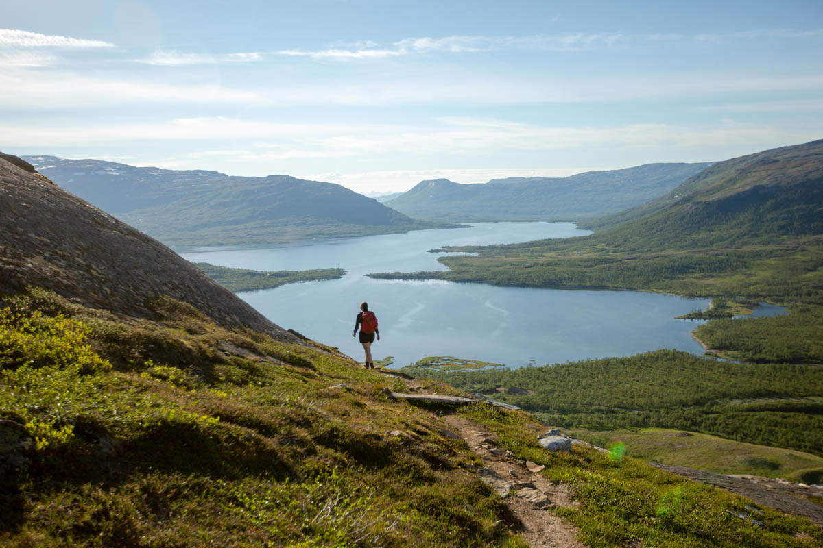
We also soon reach the turnoff to Simskardet, one of the gateways to Børgefjell National Park. As this national park has little in the way of cabins, bridges and marked paths, you need to bring a map and compass. The national park is widely known for its many lakes where you can catch trout of very good quality. Although we are not going into the national park, we enjoy the view of the mountain peaks Kvigtind (1,699 m.a.s.l.) and Golvertind (1,682 m.a.s.l.) as we drive through the lush landscape.
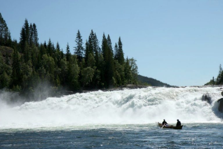
Endless opportunities for fishing
It’s also easy to understand that the municipalities along the Wilderness Road offer virtually unlimited opportunities for fishing. You will have hidden rivers and lakes to yourself. All that disturbs the silence is the rustling of the trees. Given the rich fish stocks here, don’t be surprised if the fishing exceeds your expectations.
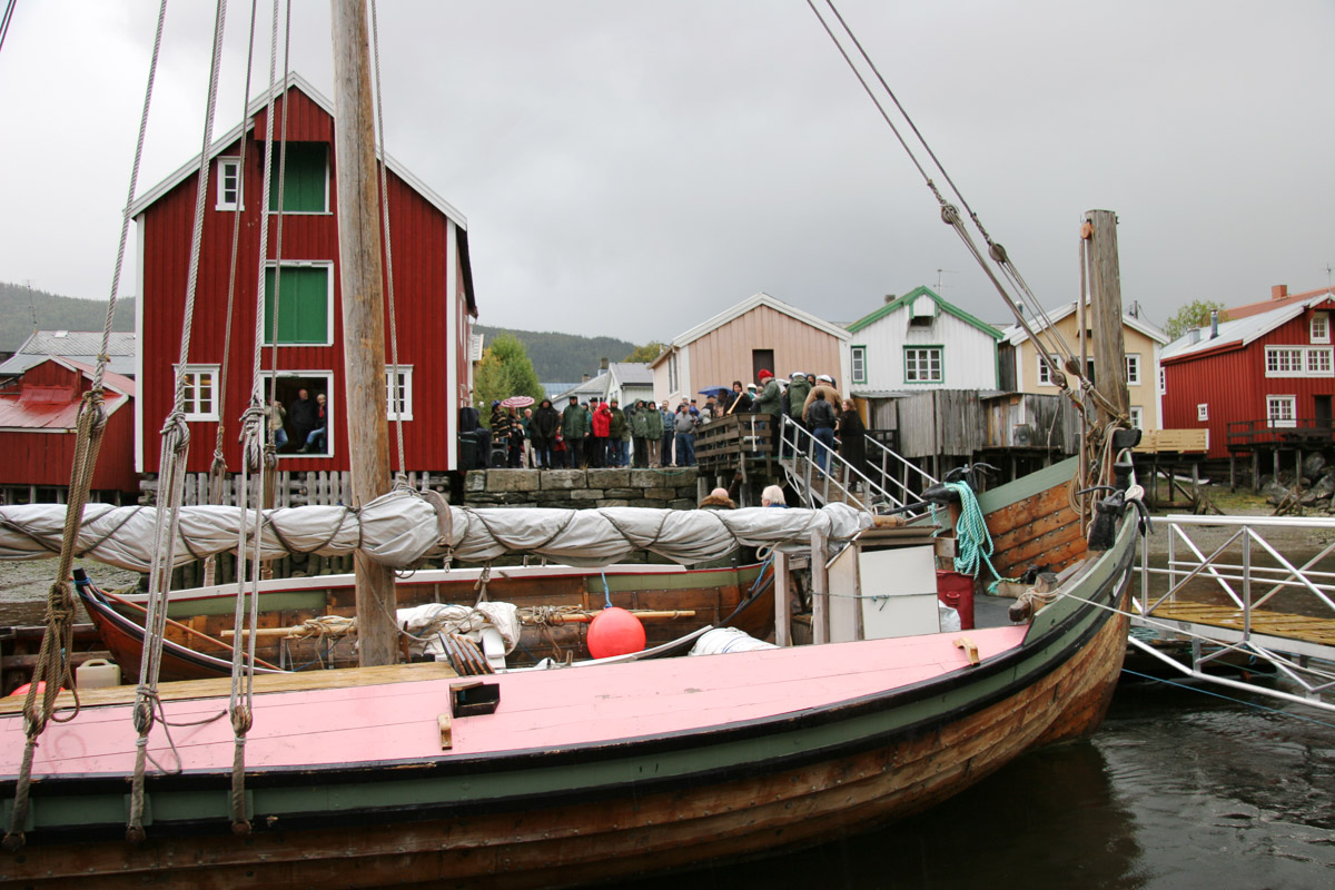
Hattfjelldal offers Southern Sami culture, folk music and a pleasant rural environment
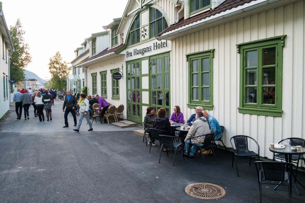
After passing Børgefjell school and the Fiplingdal village shop, you will enter route no. 73 to Hattfjelldal. Soon after, the municipal administrative centre appears. The first thing you see is the mountain Hatten, which has given its name to the municipality. The summit (1,128 m.a.s.l.) is a popular destination for mountain hikers. About 2 km before you come down into the valley, the Wilderness Road continues towards Bleikvassli. However, before continuing, I recommend exploring the nice village of Hattfjelldal where you can experience some Sami culture, a wonderful accordion exhibition, Fjellfolkets Hus (House of the mountain people) and the sculpture “Alveborg”. If you wish to spend the night, you will find hotels, rooms and a camping site.

We continue along the shores of the large lake
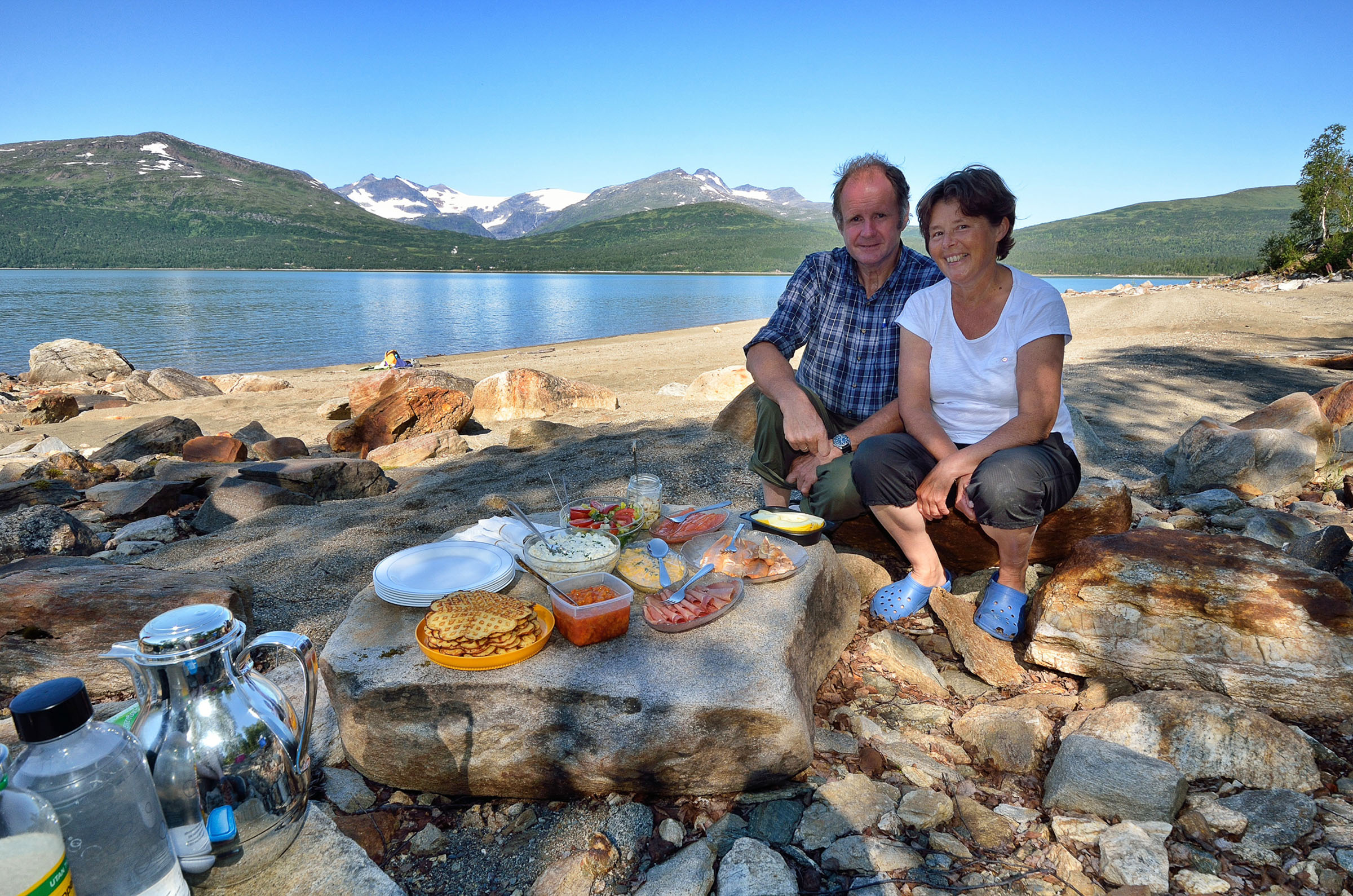
We continue our trip along the Wilderness Road by driving towards Vesterbukt and along the shores of Røssvatnet, Norway’s second largest lake. By the way, lake Røssvatnet is noted for good Arctic char fishing. We find a nice rest area after crossing the 42 m bridge over Vesterbukt. This is the perfect place to enjoy our hot coffee and nice sandwiches accompanied by a beautiful view of the mountains and lake.
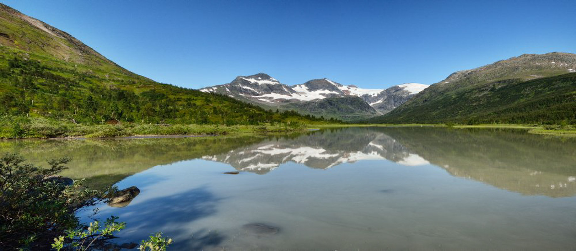
The highest mountains in Northern Norway appear
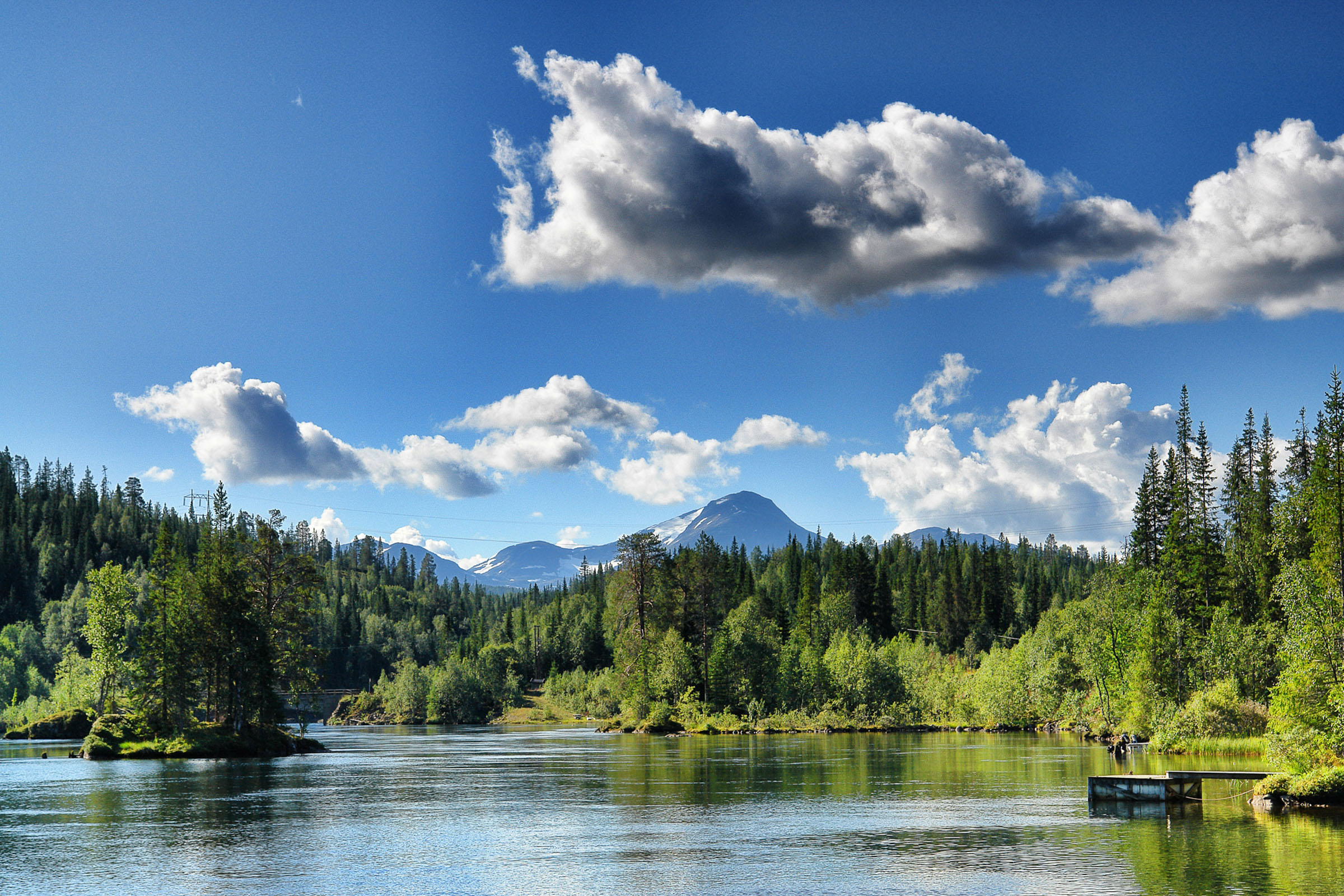
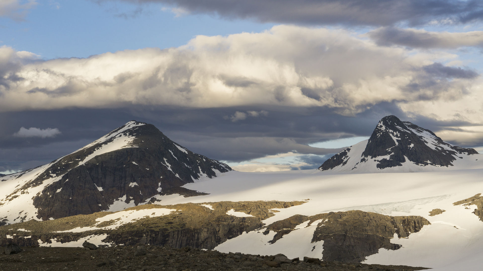
We have now started on the part of the Wilderness Road that I consider the most beautiful. We drive in slightly more open landscape along the shores of lake Røssvatnet and then another large lake, Tustervatnet, before getting a nice view of the wonderful mountain peak Okstindan in the north-east. The glacier area contains numerous mountain peaks, the most impressive of which is Oksskolten (1,916 m.a.s.l.). This is the highest mountain in Northern Norway. We pass well-kept farms and houses and say “wow” several times as we pass one wonderful vantage point after another.

Cultural stop in Bleikvasslia
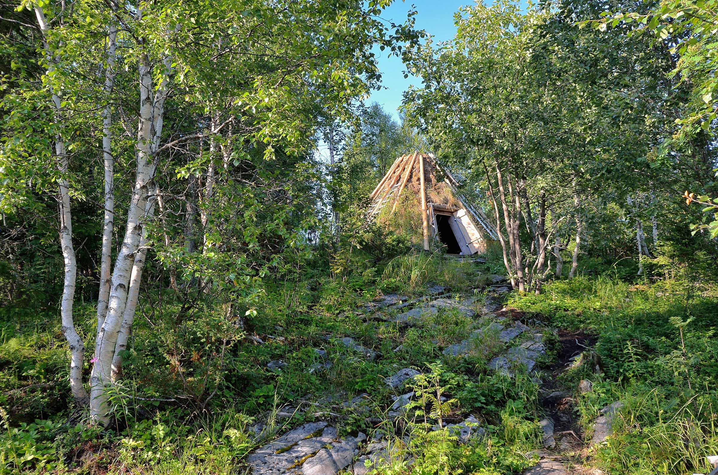
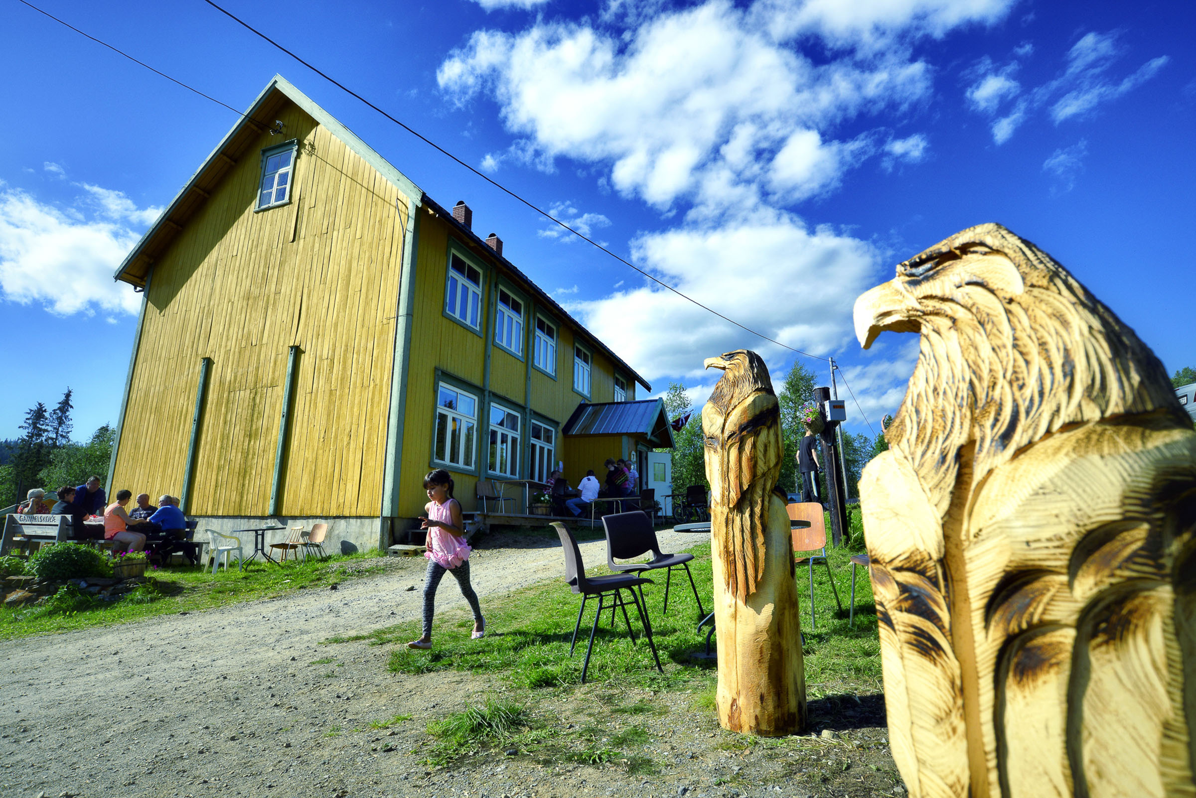
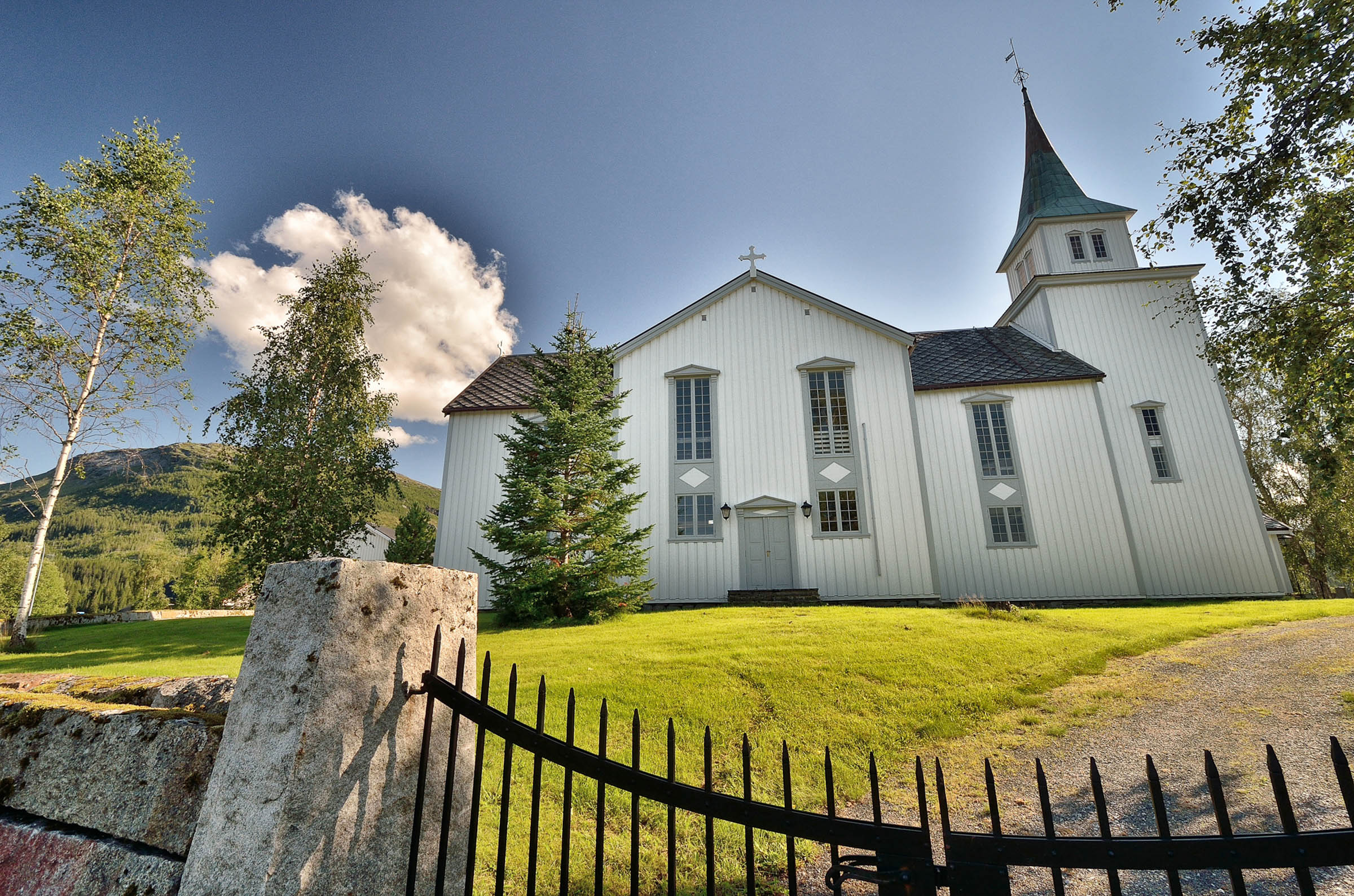
We make a stop at the Sørfjelltunet rural museum in Bleikvasslia. Attractions here include the restored old schoolhouse, an authentic Sami turf hut, the children’s nature park, a nice swimming spot and a traditional bakery that makes the local bread kamkaka. If you want to paddle down the river, a local organisation rents out canoes and kayaks as well as a sauna. Sørfjelltunet was awarded the prestigious St. Olav’s Rose for its contribution to preserving Norway’s cultural heritage. Nearby is the Bleikvasslia Church[GT1] , a red wooden church built in long church style in 1955.
We see geese and giant’s cauldrons on our way to Korgen
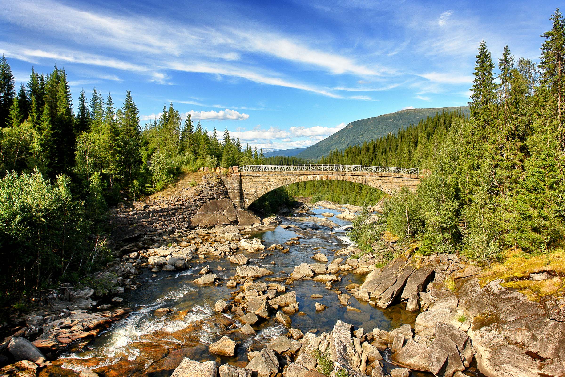
As we continue our drive on route no. 806 towards Korgen, we pass the Stormyr Basin, an artificial lake popular among birdwatchers. Many nesting bird species have been observed here, including the Canada goose. Don’t miss the beautiful Sjøfors bridge, an historic arched stone bridge dating from 1905. The hand-hewn stone represents a fine example of the craftsmanship of the stonemasons and bridge engineers of the past. Another tip is checking out the giant’s cauldrons south of Korgen. Look out for the “Jettegrytene” sign on route no. 806. There are more than 20 giant’s cauldrons (also known as glacial potholes) here. A path leads to the largest one, which is 10 m in diameter and up to 12 m deep.

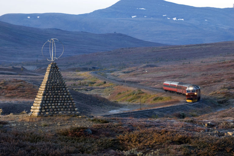
The Blood Road led over the mountain from Korgen
When you arrive in Korgen, we recommend checking out the beautiful wood carvings at Korgen Church, which dates from 1863. A memorial stands at nearby Fagerlimoen to the more than 400 Yugoslav prisoners of war who died during forced labour to build “Blodveien” (The Blood Road) over the Korgfjellet mountains.
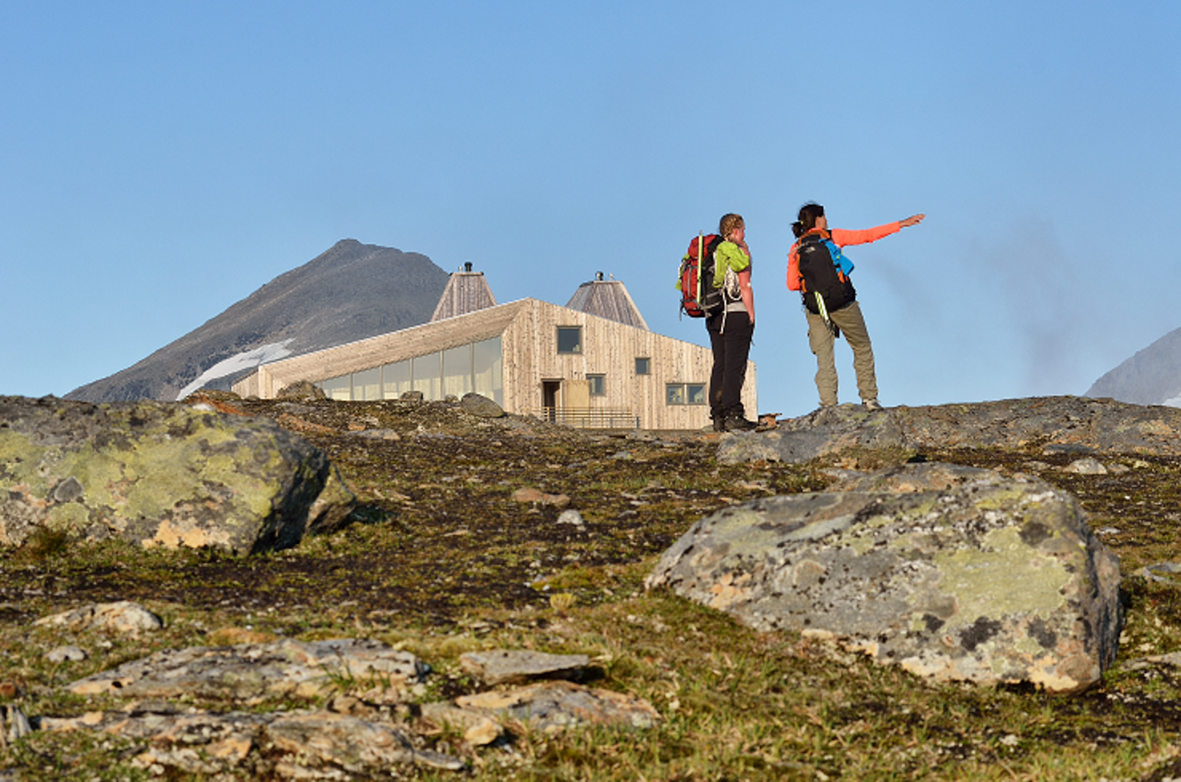
Visit Rabothytta, DNT’s 500th cabin number
It’s relatively easy to get to the wonderful Rabothytta cabin, which is at an altitude of 1,200 m.a.s.l. Turn off the E6 highway in Korgen and drive about 13 km into the Leirskardalen valley. Continue a further 5 km on the at times narrow and steep gravel road to the car park. It’s a hike of 1.5 to 2 hours in slightly demanding terrain from here up to the cabin. If you wish to enter the cabin, remember that at least one member of your party must be a member of the Norwegian Trekking Association (DNT). You can enjoy a wonderful view of the Okstindbreen glacier from the cabin.
We took the old road over the mountain to see Okstindan
Consequently, we will drive the E6 highway back to Mosjøen. However, instead of driving through the 8,533 m long Korgfjell tunnel, we opt for the road over the mountain. This gives us a great view of the Okstindan mountain massif. At the top of the mountain (555 m above sea level) is mountain lodge Korgfjellet Fjellstue, which has existed since 1958.
The distance from Korgen to Mosjøen is 52 km via the mountain road or 47 km via the tunnel.
Practical about Villmarksveien – the Wilderness Road
Villmarksveien – the Wilderness Road – is the name given to a route east of the E6 (the main thoroughfare between north and south in Norway) from Majavatn in the south to Korgen in the north. Go here for the small, welcoming communities found in the deep forest at the foot of mighty border mountains. The road runs through the municipalities of Grane, Hattfjelldal and Hemnes, all part of the southernmost region of Northern Norway, Helgeland.
Villmarksveien is not ONE road, but rather a series of roads east of the E6, following the foot of the border mountains. Turn off from the E6 (the main road north-south in Norway) at Villmarksveien rasteplass (= resting place) and follow the Fv274 into the wilderness. There is the option of doing the Fv273 on the other side of Lake Fiplingvatn and reunite witht he Fv274. At Kløvimo you turn right and follow the Rv73 towards Hattfjelldal. The F291 is a left just before Hattfjelldal community centre (a compulsory detou in itself). Before reaching Bleikvasslia, the road changes to Fv331. From Bleikvasslia, the Rv806 leads to Korgen, the end (or beginning?) of the Villmarksveien – the Wilderness Road.
The Villmarksveien – the Wilderness Road – is 133 km, or 83 miles in length.
– Kvannli gård (farm) has camping and boat renta- Hattfjelldal Hotel- Fjellfolkets Hus (“house of the mountain people”), Hattfjelldal- Stekvasselv gård – farm with accommodation and activities in the Okstindan range- Karihaug, summer hostel with cafe and simple tours, Bleikvasslia
What is worth bringing home from the Wilderness Road – Villmarksveien?Strandli gård (farm) has award-winning cheese (Sæterstad gård sells cheese and char (small salmon-like fish)Both links go to Norwegian-language facebook sites. But send them a message in English!
Visit Helgeland is the regional tourist organisation, running visitors’ centres in both Mosjøen and Mo i Rana, both along the E6. Their website is full of information.
Villmarksveien rasteplass (resting point of the Wilderness Road)
Here you leave the E6 coming from the south
Fiplingdal
Hamlet in the forest
Hattfjelldal
The largest settlement under high mountains and with a vibrant Southern Sami culture
Bleikvasslia
Small community and previous mining town under the Okstindan range, the highest in Northern Norway
Korgen
Green, fertile valley with a monumental wooden church. Starting point of the Villmarksveien – Wilderness Road if you come from the north.
Gunn Kristin Johansen worked for many years promoting tourism in the Helgeland region, both at the Mosjøen tourist information and at with product development. This means she is an endless source of information both on the well-known Helgeland coast and the less known interior of the region.