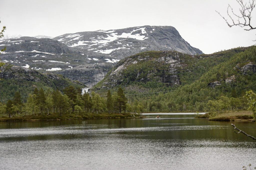
The trip to Austervatn is one that you can make either on your own or with a guide on request from Kobbelv Vertshus inn in Sørfold. The journey involves three stages on foot and two stages by canoe. This is a day trip, but overnight stays in the mountains are also possible.
How do I get to Austervatn?
It’s found in the municipality of Sørfold, north of Fauske on the E6, the main artery
Along the E6 there are many buses
You contact Kobbelv Vertshus, the little hotel down at the fjord. You do it on your own, or hire a guide. Small groups should definitely hire a guide.
Visit Bodø knows all about this part of Northern Norway
The first step is to take the Canoe over Sørfjordvatnet
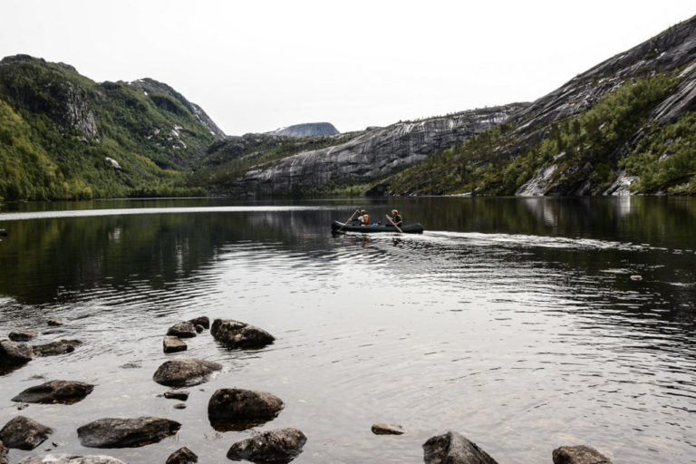
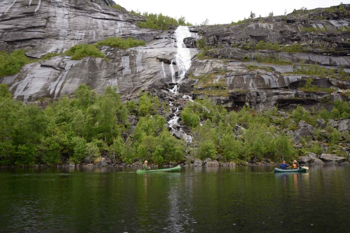
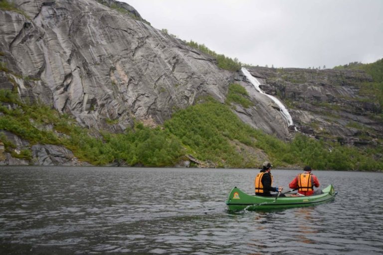
The hike from Kobbelv Vertshus up to Sørfjordvatnet is short and easy and follows a gravel track up from the E6. When you reach the lake, you will need to find the canoe you have booked and make your way onto the water. It is best to paddle alongside the shore, both for safety reasons and to appreciate the bird life around the lake shore. The landscape is characterised by smooth, scoured rock walls and thin ribbon-like streams cascading down the hillside. But the best part is the feeling that you are leaving civilisation behind and setting out into an essentially untouched wilderness.
Follow the polished rocks to take you up the hillside
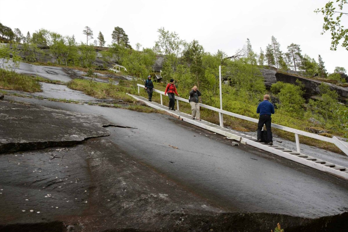
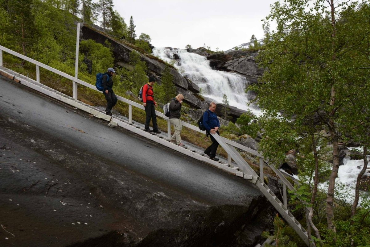
The real ascent begins well above the water’s surface. The path leads up through thin deciduous forest, gradually giving way to polished bare rock. Many steps and handrails have been built, as the bare rock can be difficult to walk on. This makes walking both easy and safe, even though it is undoubtedly strenuous.
Paddle through the quiet forest and across lakes
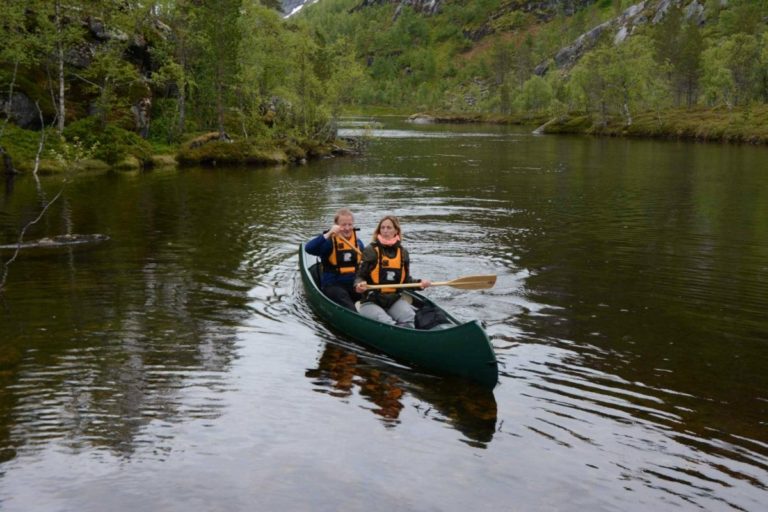
Another body of water suddenly opens up before you, and the calm water of the Kollbakkelva reveals itself. There is a feeling of being far out in the wilderness up here in the mountain forest. A small and simple boathouse and rack is located beside the water. The rack is used to store canoes, and paddles can be found in the boathouse. The canoes can easily be launched onto the water from the shore, so you simply need to paddle into the water. There are several small lakes linked together by short, narrow rivers. Land is never far away as you paddle into the silence between the distinctive mountain formations. There is a small stretch midway through this journey which is difficult to negotiate. You will have to carry your canoe for around 50 metres (165 feet) past the difficult section before simply paddling onwards.
The last 90 metres you must take on foot
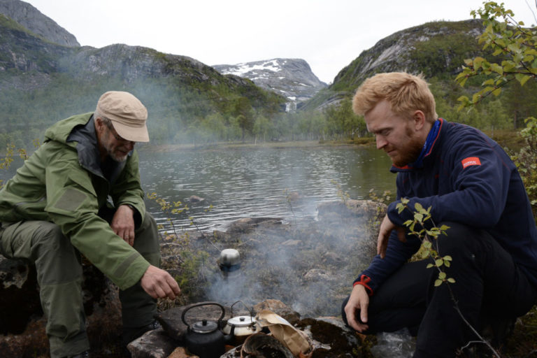
Once you have made your way a good distance into the quiet valley and the large water body of Nordvatnet opens up before you, it is time to drag the canoe ashore and begin the final leg. You first walk through pine forest with soft springy heather and across some wet sections and bare rock before reaching a gap in the mountains. This section is steeper than the first climb with extensive rock and scree. However, the height difference does not exceed 90 metres (295 feet), so rapid progress is possible with sturdy footwear. Austervatn is a large lake at an elevation of 270 metres (886 feet) in the upper reaches of the mountain forest, surrounded by the characteristic polished mountain rock formations of the area. Here, you can borrow a boat and go fishing on the lake, or bathe from the delightful white beaches in guaranteed clear and invigorating water.
It is not a difficult tour
This tour is also suitable for large groups. Paddling a canoe is not difficult, and a life jacket guarantees safety. However, canoeists should stay close to the shore on Sørfjordvatnet. The hike requires mobility, but there is much more difficult terrain than this. All in all, this is one way of accessing wild, untouched nature in seven or eight relatively leisurely hours. You can also hire the Austervasshytta cabin and stay overnight or take your tent.
Many paths take you into the wilderness and over to Sweden
Beside the E6 stands a sign saying ‘Sweden 20 km’ (12 miles). This is the narrowest point of the Kingdom of Norway. A marked trail leads from the parking area at Kobbelv Vertshus, which first goes up to Reinhausen and then on to Sweden. Rago National Park, a small national park joined to the enormous Swedish national parks of Padjelanta, Sarek and Stora Sjöfallet, can also be easily reached from Kobbelv. The 923-metre (3028-foot) high Kråkmotinden dominates the landscape north of Kobbelv. There is also a network of easier marked paths. Kobbelv Vertshus has a central location offering overnight accommodation in the middle of all this, and is renowned for its good food.
