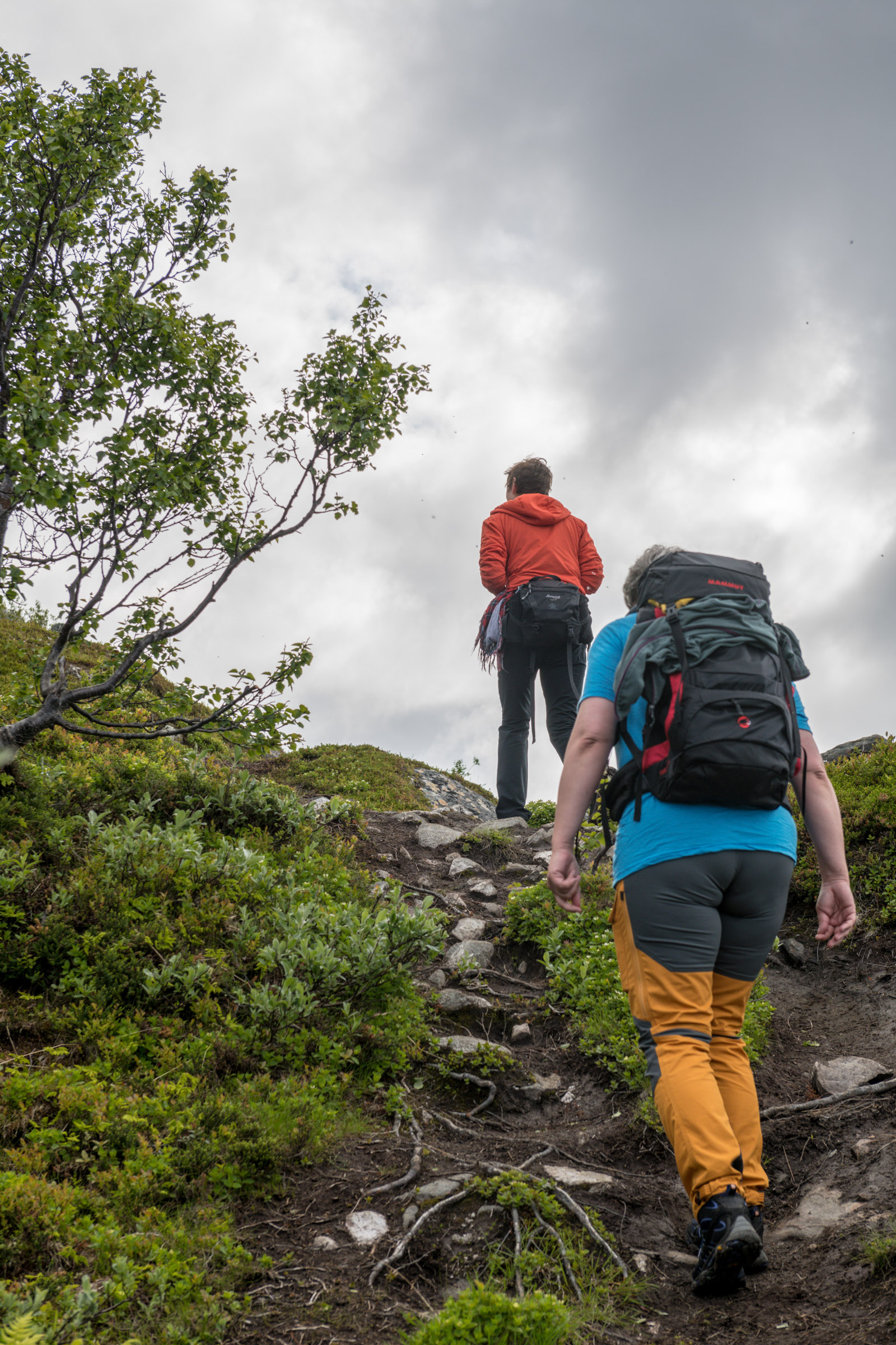
Harstad is an atmospheric small city, and the scenery around adds to its charm. These green, friendly landscapes can be explored easily and safely from the early Summer to mid-autumn. Here is a guide to where you can go. Most of the trails are in frequent use by the locals themselves, and they are generally considered safe. Your choice of trail depends on what you’re after, your fitness level, your previous hiking experience and how much time you have. We begin with the easiest walks, and move on to the more challenging ones.
Folkeparken is a walk in the park with a difference
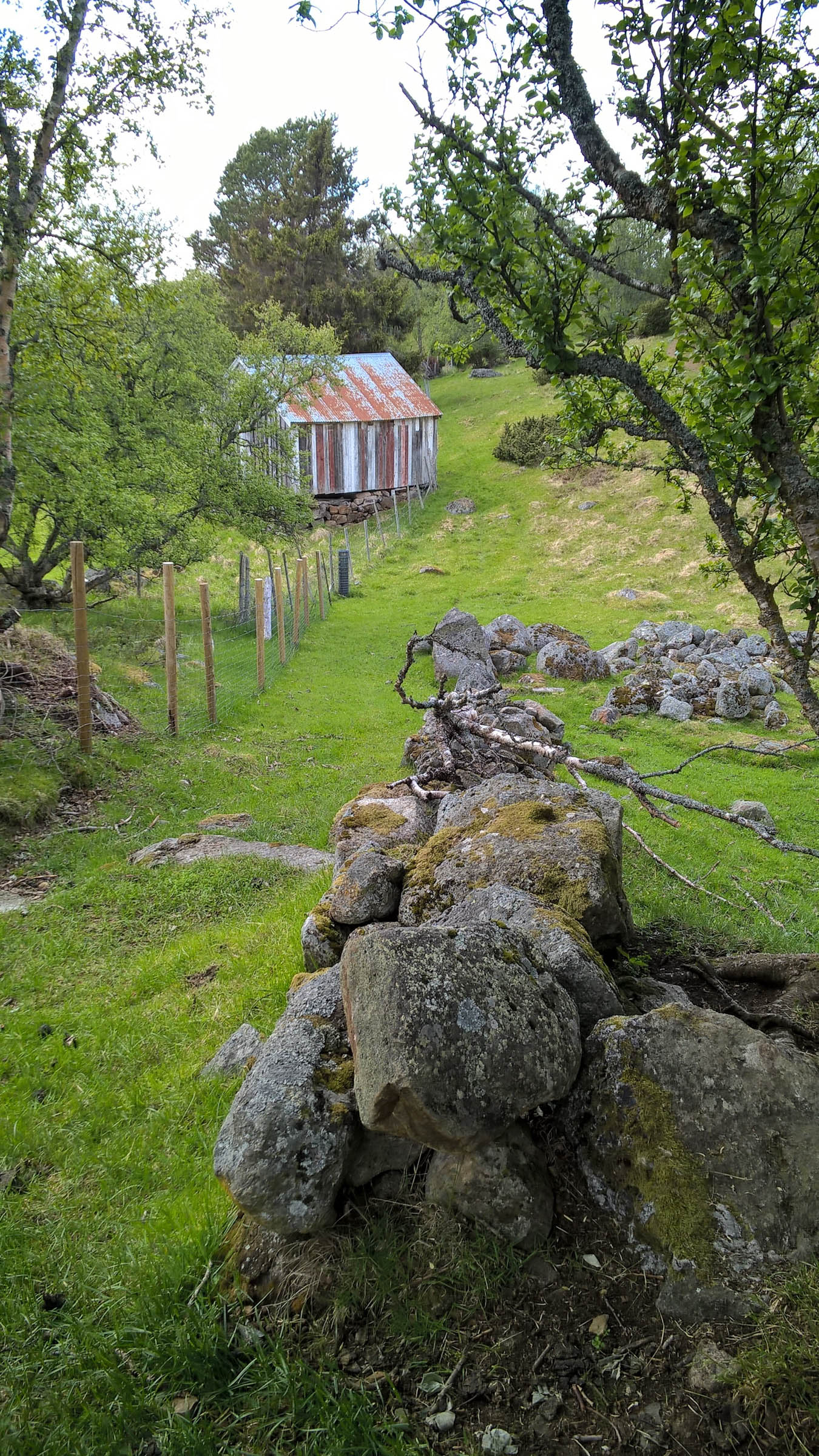
For instant closeness with nature, head for the “People’s Park” – Folkeparken – in the hills above Harstad. You can reach it on foot from downtown Harstad and walk leisurely around the densely wooded area on well-trodden paths. You will always meet the jogging set and people walking their dogs, so there is no chance of getting lost. If you need a target, the best is the hut at Grønnkollen. The tour there takes an hour and offers great views through the leafy forest.
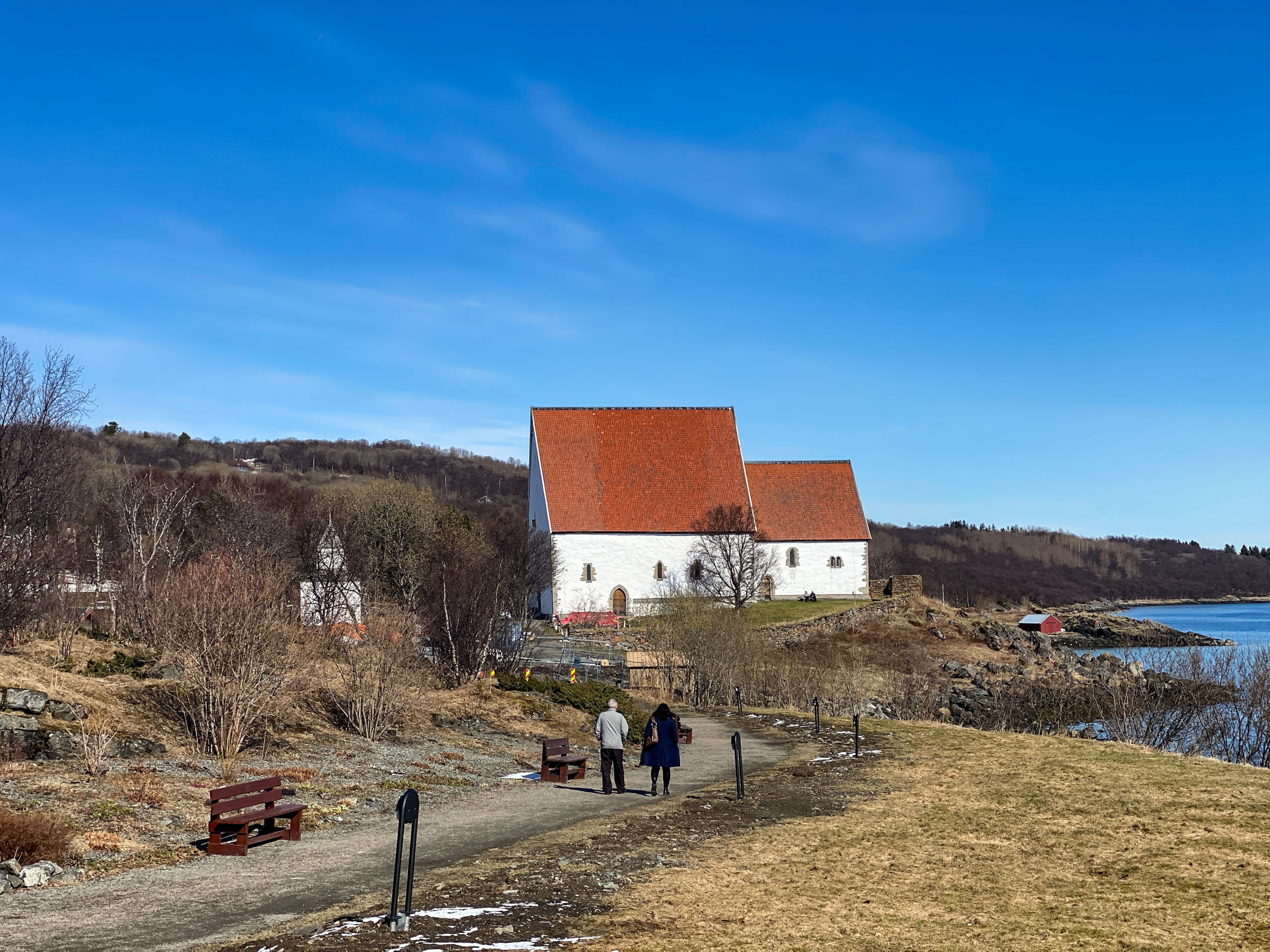
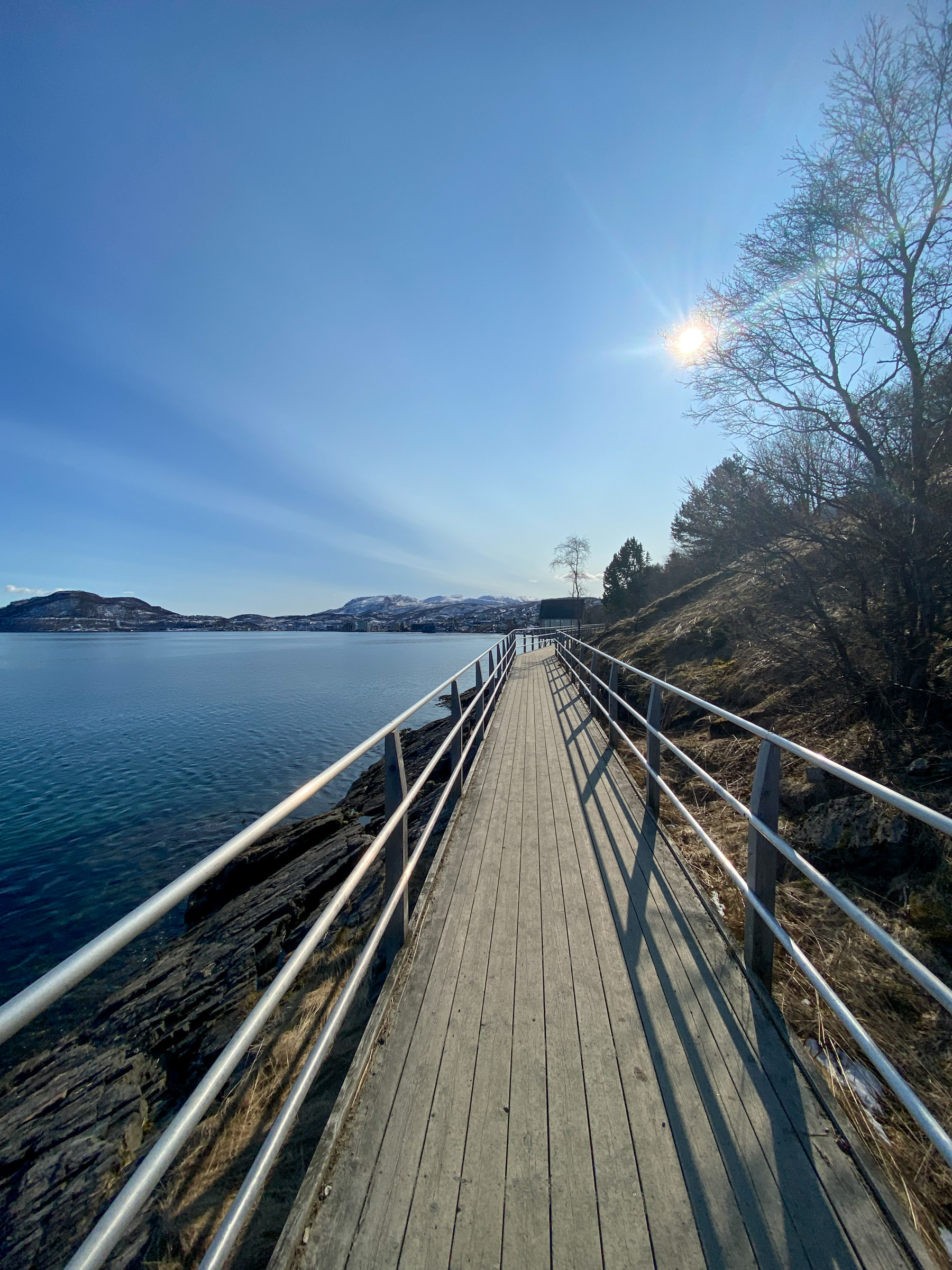
Stien langs sjøen – The Path Along the Sea – takes you to history
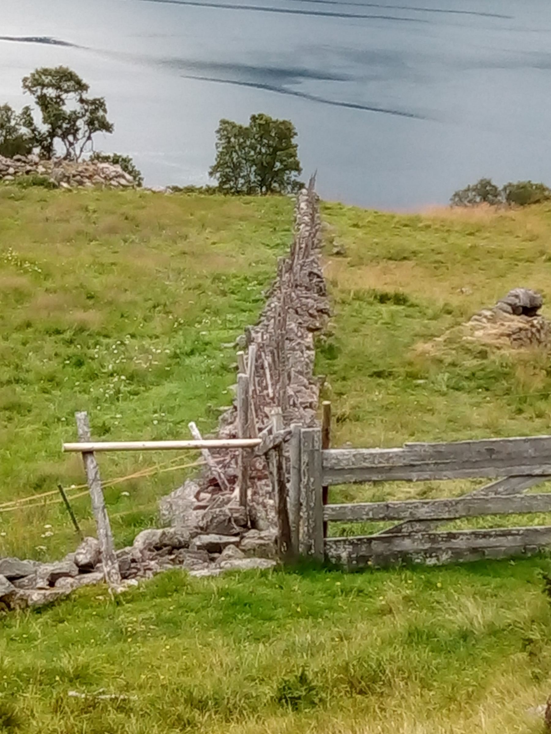
Another local favourite is the “Path along the Sea” – Stien langs sjøen. This is a great way to walk from downtown Harstad to the historical sites at Trondenes. The views on the way across the wide Vågsfjord are stunning, and the other way you look into people’s gardens. There are boathouses and boat-haul areas on the way. Locals use the path to get to town, and you walk on raised boardwalks, lovingly crafted paths and on the beach itself.
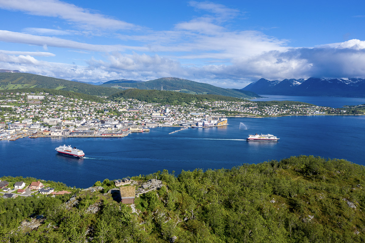
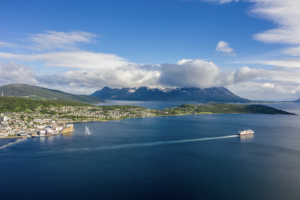
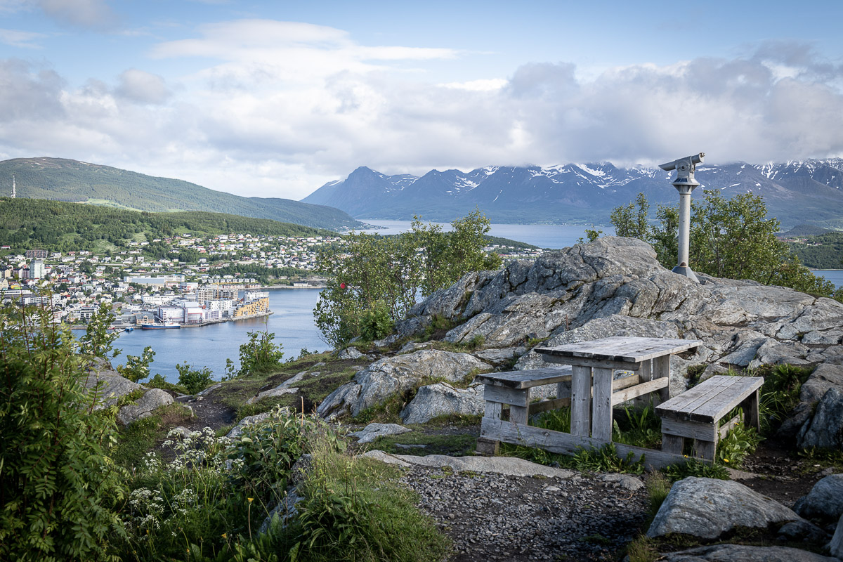
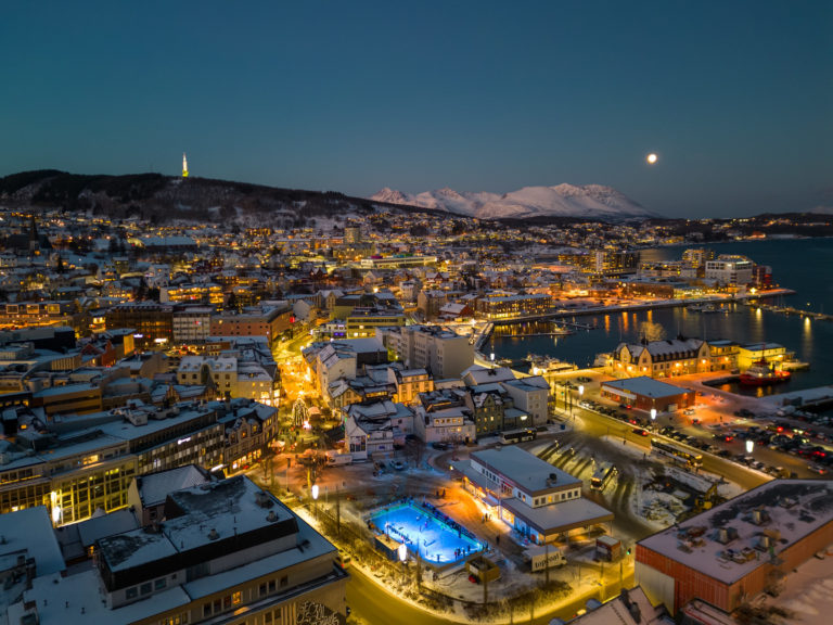
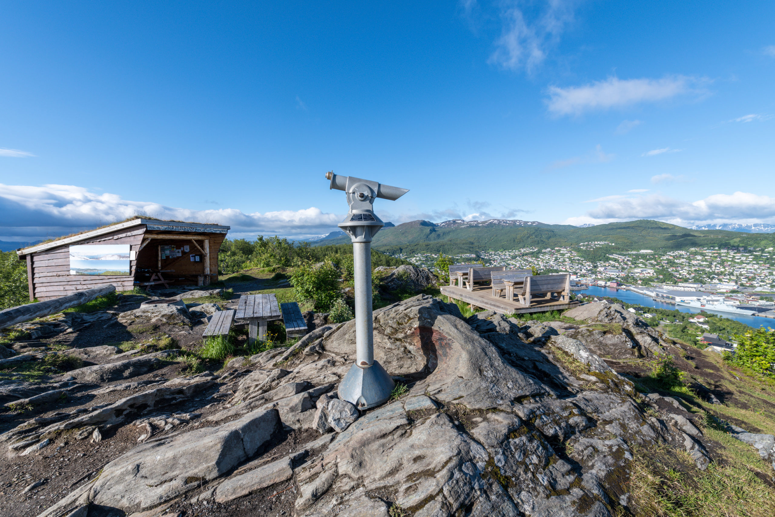
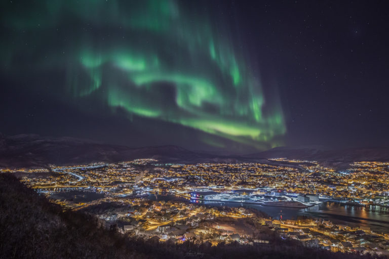
Gansåstoppen offers the best Harstad panorama
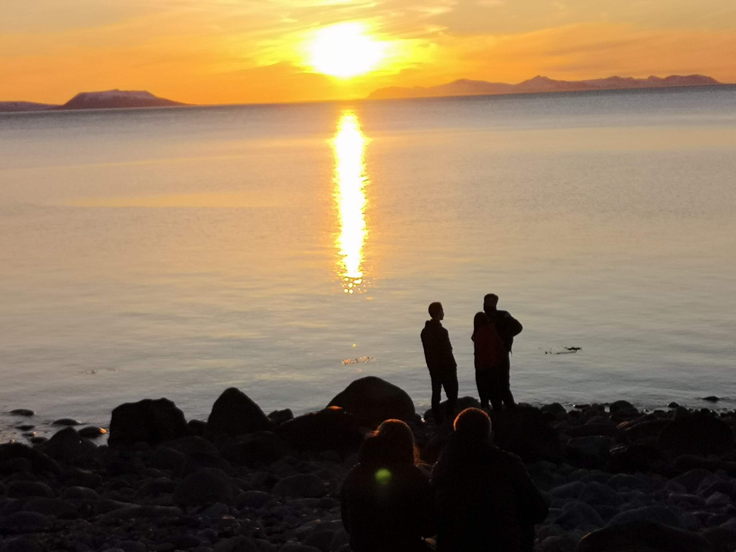
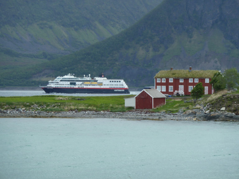
Where do you go for that iconic view? Gansåstoppen is a 171 metres high hill in the Gansås area across the inner port of Harstad. From there, you see the city, the port, the green hills behind the city, and the towering peaks on Grytøya Island in the far back. Early risers of course go up there to see the north bound Hurtigute leave as the southbound is coming in at around a quarter to eight. The hike up is done in a few minutes from the nearby residential areas, and the reward is great. It’s an hour’s walk from town, but you can park your rental car downhill, take a city bus or order at taxi.

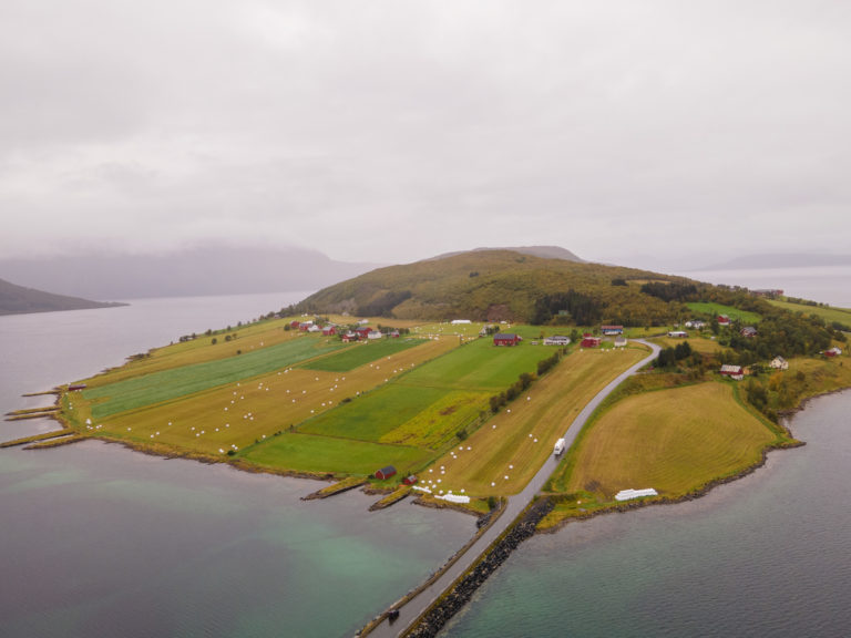
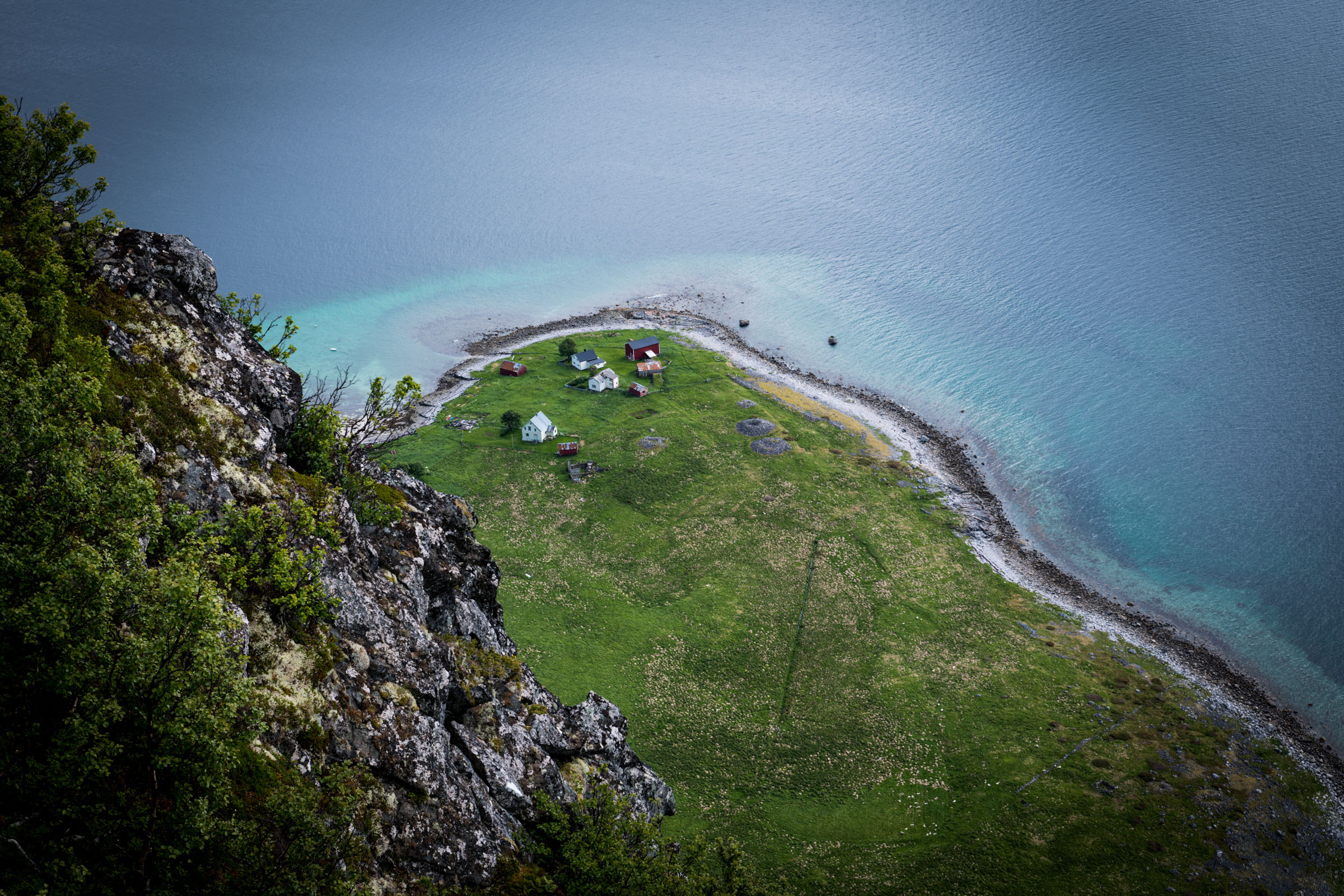
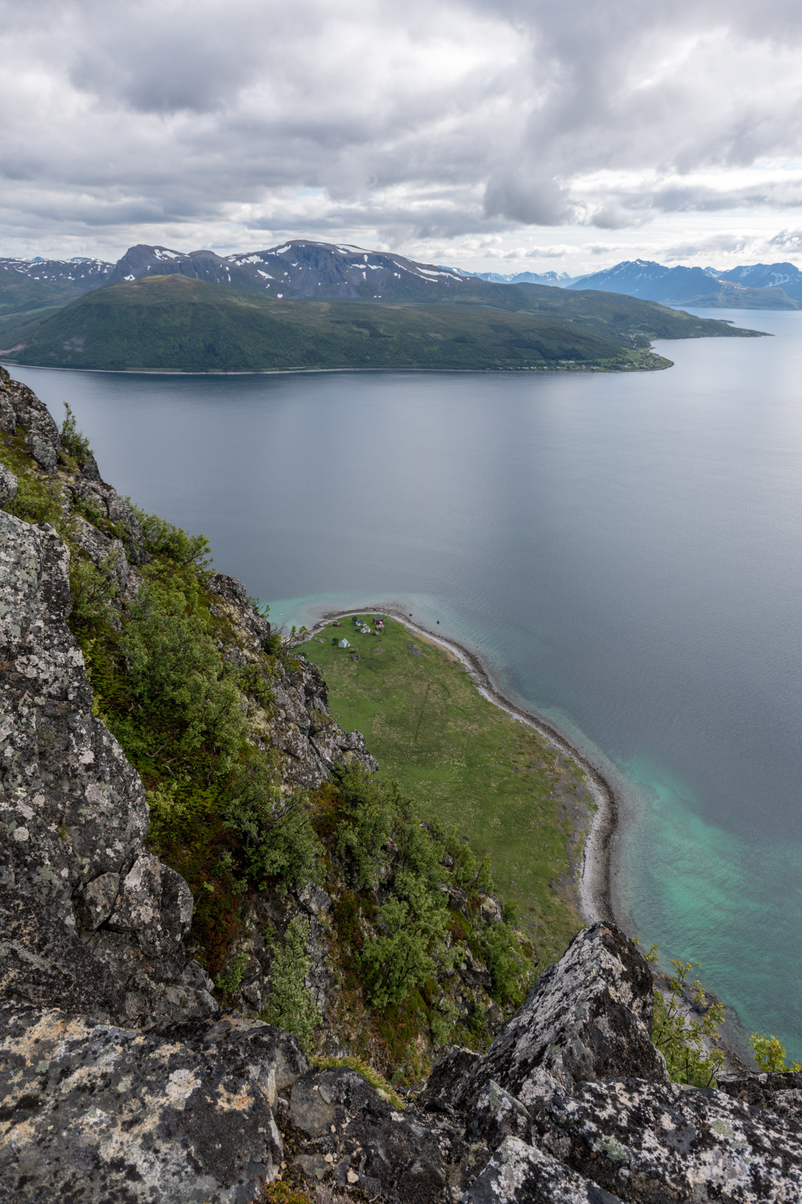
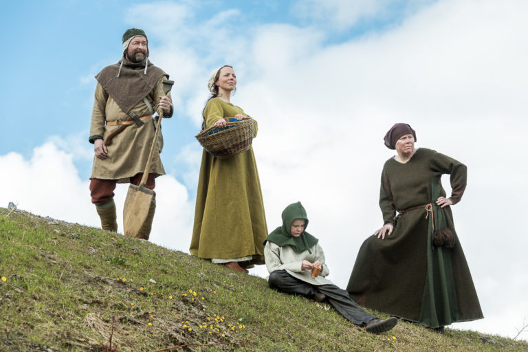
Bjarkøy is Viking ground
Follow in the footsteps of the Vikings on Bjarkøy Island
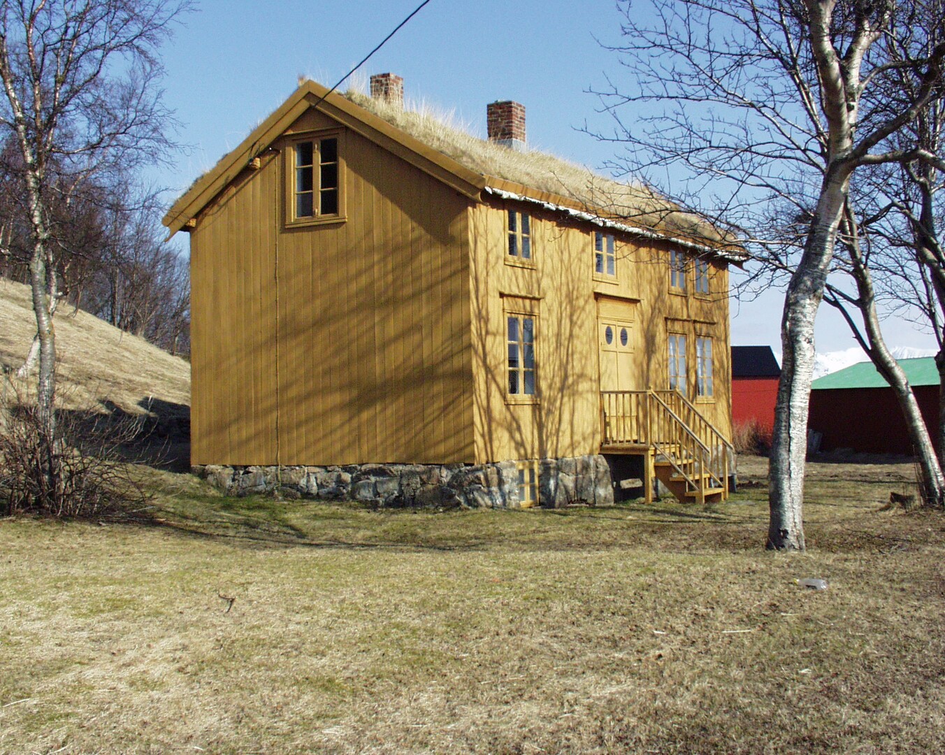
A wonderful and kind hike is the cultural path on the island of Bjarkøy. In the Viking Age, powerful chieftains resided here, and the traces are found all over the low, green and cultivated mid section of the island. Highlights include the remnants of the boathouse, that could probably house a 30 metre Viking ship, a raised stone, the picturesque church and the view towards the mountains of Grytøya island. This can be easily combined with a hike along a marked trail to Stangheia, 238 metres above sea level, for a commanding view of all the islands. This island is an easy daytrip by catamaran from Harstad, but there is also accommodation.
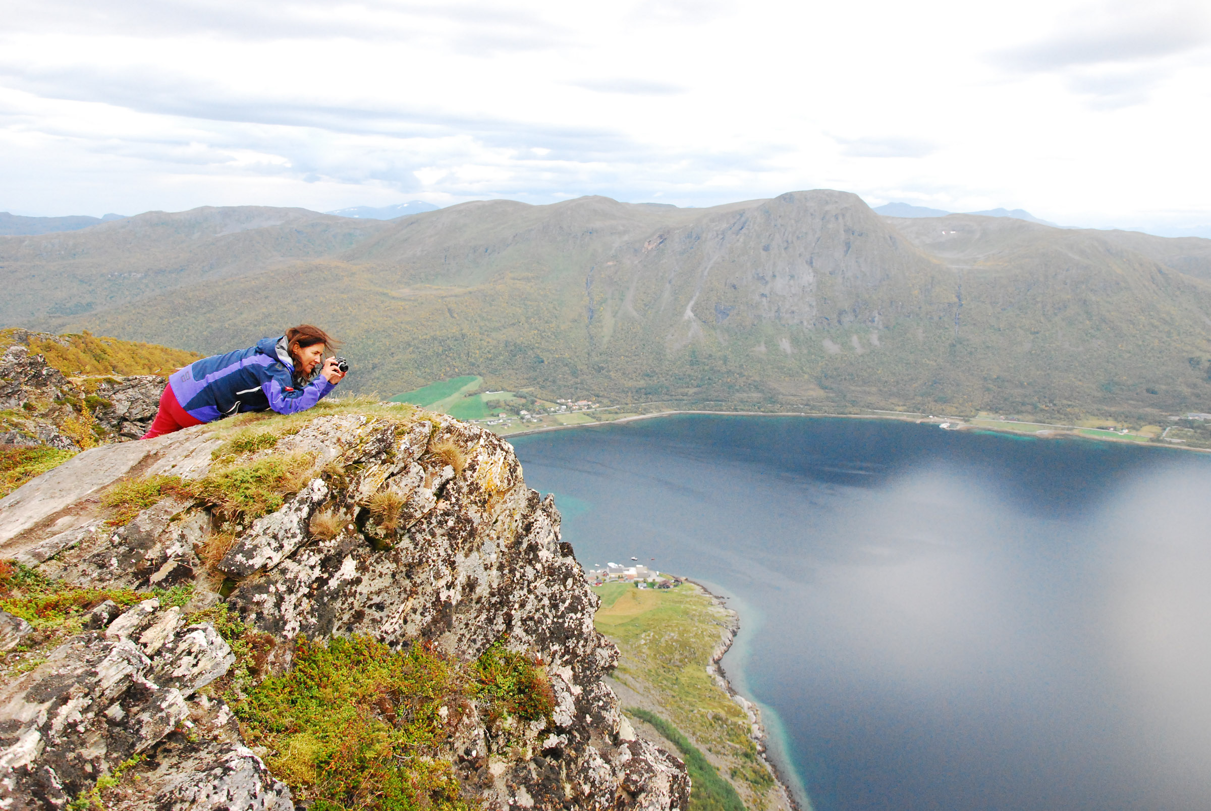
Keipen offers great views with little effort
It’s not difficult to understand why Keipen is the most popular tour in Harstad. The ascent is a mere 173 metres, and your reward is an endless view to Andøya Island in the northwest, the big island of Senja in the north, the monumental Grytøya Island close by and all the islands around. The hike should take less than an hour and is relatively easy. However, there is a fair bit of wear and tear along the trail, and in the summer of 2024, works will be done to remedy the weathering.
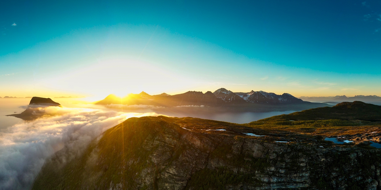
Elgen is the challenge with the seaview
An alternative to Keipen is Elgen (“The Elk”). A 607 metres elevation difference, it is a half-day trip for most people. Start at the little chapel in memory of Hans Egede, the apostle of Greenland on the Elgnes headland. Then head up the hillside on a marked trail. Some sections can be felt as exposed, and ropes have been laid out on the steepest slope. From the top, you can see the whole fjord system, strewn with islands, and distant peaks rising from the sea in every direction. This hike requires stamina and a bit of good shape but is by no means extreme.
Blåfjellet – The Blue Mountain – is a classic mountain hike
The hike to Blåfjellet is a classic Norwegian mountain hike of medium size. The ascent is gradual, beginning with a tractor path. This turns into a classic forest path, before you reach the forest line. A bit of stamina is required, but nothing is technically difficult or scary. The elevation gain is 468 metres, and the distance is about 8 km. On the top, you can sit down in the heather and see distant mountains, blue fjords and lakes dotting the forest below you.
Haukebøtinden is one step up
A bit harder, a bit tougher, but more rewarding is Haukebøtinden, reaching 906 metres. This mountain is found just south of the Tjeldsund bridge. The total length of the tour is 10 km, and you simply walk uphill all the way. From the parking there is a good path, but this narrows down into nothing further uphill. But by then you can see the cairn on the top and can simply follow a ridge all the way to the top. The last 400 metres are rocky with a lot of scree. The big beacon is actually not the highest point, you can continue another 200 metres to feel you have conquered the mountain. And you will not regret it when you see the view of all the waterways to the east and south, including the Tjeldsundbrua bridge and the lakes, valleys and mountains in the west.
Where are the best hikes in Harstad?
This is an overview of the hikes in the article. We link to the excellent website www.ut.no, which has detailed information on parking, marking etc. Unfortunately, it’s only in Norwegian, but use google translate.
Folkeparken is Harstad's green belt
The Folkeparken – The “Popular Park” – has well marked trails close to the city. Look for parking and access to the park near the marker.
Stien langs sjøen – The Path Along the Sea – takes you to history
This route is an excellent connection by foot to the attractions on the peninsula of Trondenes. The marker is placed at the beginning of the hike.
Bjarkøy offers Viking history
Go to the island and follow the trail to traces from a long and illustrious history.
Keipen offers great views with little effort
This not so tough hike ends up at a dizzying viewpoint. Look for parking north east of the marker on the map.
Elgen is tougher and higher than Keipen, with a greater reward
A 600 metre ascent gives you the views of all the fjords and islands. Steep, but accessible to most. Parking at the marker.
Blåfjellet is the classical hike
Easy terrain and wide fjord views for a medium hike. Marker close to parking and start of tour.
Haukebøtinden takes you higher and wider
More challenging, and a good day trip with great views. Parking and start of the tour next to the marker.
Sætertinden is the ultimate challenge
More than 1100 metres climb for that great mountain view
Lundenesgalten is about the great island view
Steep, tough and not too long to see all the islands nearby and afar.
Gansåstoppen offers the best view of Harstad
An extremely short hike takes you to a viewpoint overlooking all of Harstad
Nupen has the great midnight sun view
Short, but occasionally steep, hike to the viewpoint Nupen, the “most romantic view” in Norway.
The Cultural path Skallan – Rå goes through history
An easy walk through old agricultural lands with plenty of history
Storhornet overlooks the friendly fjord
Reasonably easy trip 700+ metres with great fjord view
Hike amid the peaks to Håkonsbu
Not too hard hike to a viewpoint between the pointed peaks of inner Kvæfjord.
Sætertinden is the challenge you should do on a good day
Yet another step up is the Sætertinden, found in the same area as Haukebøtinden. The ascent is over 1100 metres, and the highest point is a impressive 1095 metres. Going up, you pass through a lot of different kinds of environments, from dense, leafy forest and bogland through knarly mountain forest and grean meadows above the treeline to rock and scree. Near the top, big wooden poles mark the trail to the communication installations on top. The view is wide, and the Tjeldsundet waterway is beneath you like a silvery ribbon.
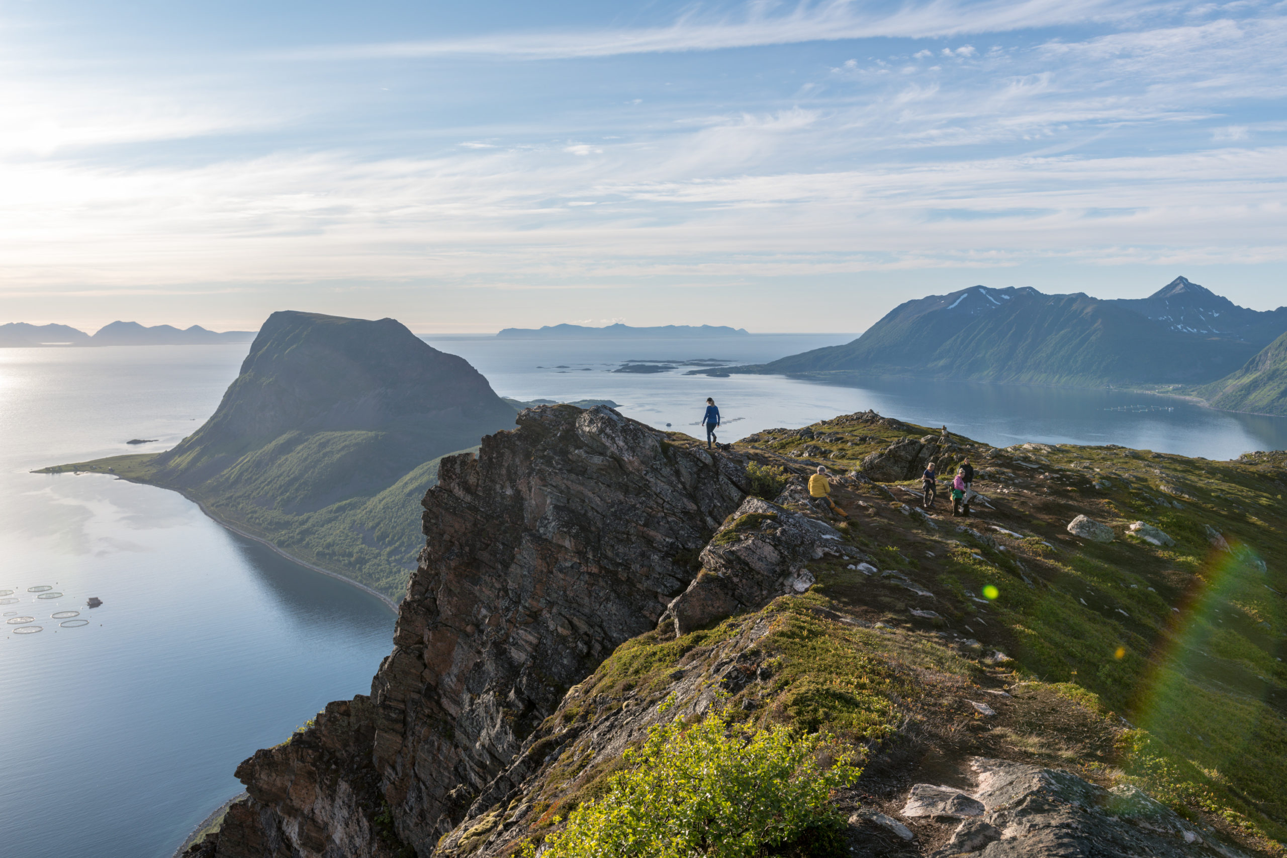
Lundenesgalten is where you see all the islands
When exploring the islands in the north, no mountain gives an ocean view like Storgalten, or Lundenesgalten. At 782 metres, you can see Harstad and the Vågsfjord in the south, and turning around you have a wide view to Andøya Island in the northwest, the towering peaks in Senja straight in the north and the mainland in the east. The green Viking island of Bjarkøy is just below your feet. The climb is typical for Northern Norway, short and brutal. A lot of the ascent goes through lush forests, and when you reach above the treeline, you can see the top cairn. The total distance is around 10 km, medium trained people do it in 4 hours.
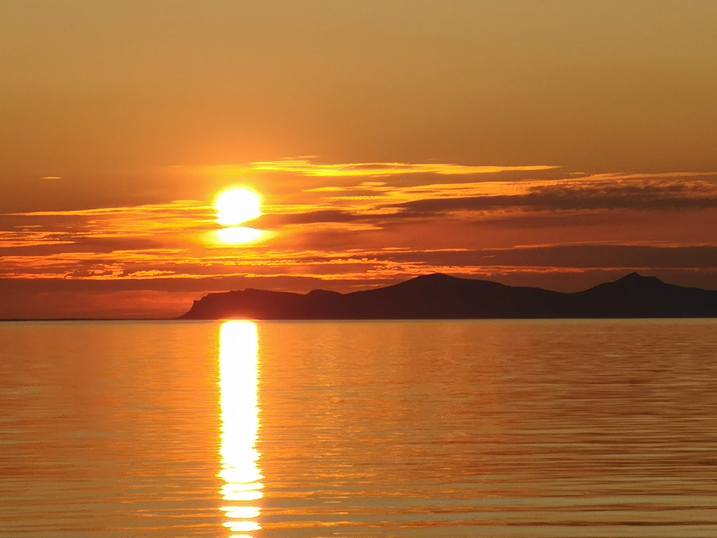
Nupen is the iconic midnight sun view
A Norwegian traveller’s magazine listed the hill of Nupen as Norway’s most romantic place. Nupen is a 405-metre top on the northern coast of Hinnøya Island. While the climb is not perilous, certain sections are quite steep. However, the reward is fabulous, with a wide panorama stretching from Andøya Island in the northwest to the monumental mountains of Grytøya island. A tip: visit at midnight to witness the midnight sun from its peak.
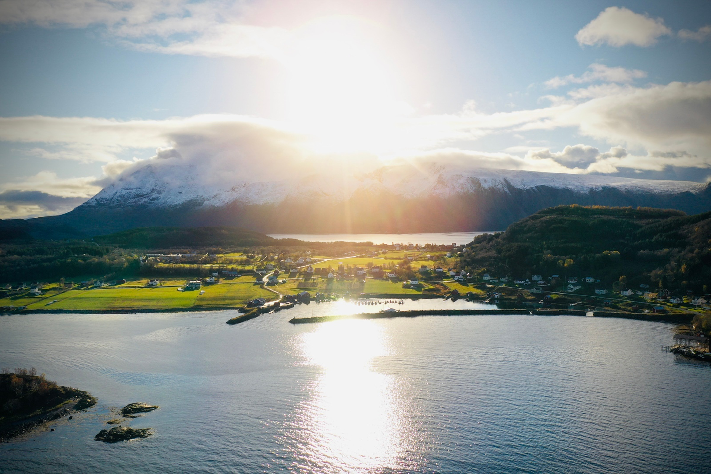
The cultural path in Borkenes
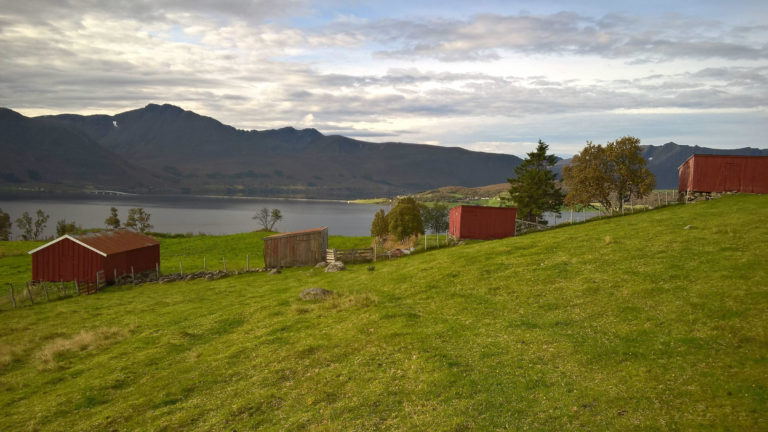
When the goal isn’t just reaching the summit, but immersing oneself in history, the Kulturstien Skallan-Rå – Cultural path from Skallan to Rå – takes you on an old pre-automobile path between the oldest farms in Kvæfjord. Iron age grave mounds, old barns and a lot of colourful farms await you. The path follows the border between the forest and the agricultural lands, and you experience a rich vegetation of wildflowers and plants reminiscent of traditional agriculture. The modest, weather-beaten buildings are sommarfjøs, summer farms. Here, the cows were milked when allowed to graze freely in summer. The hike takes less than an hour, and is a good 3 km long.

Storhornet overlooks the friendly fjord
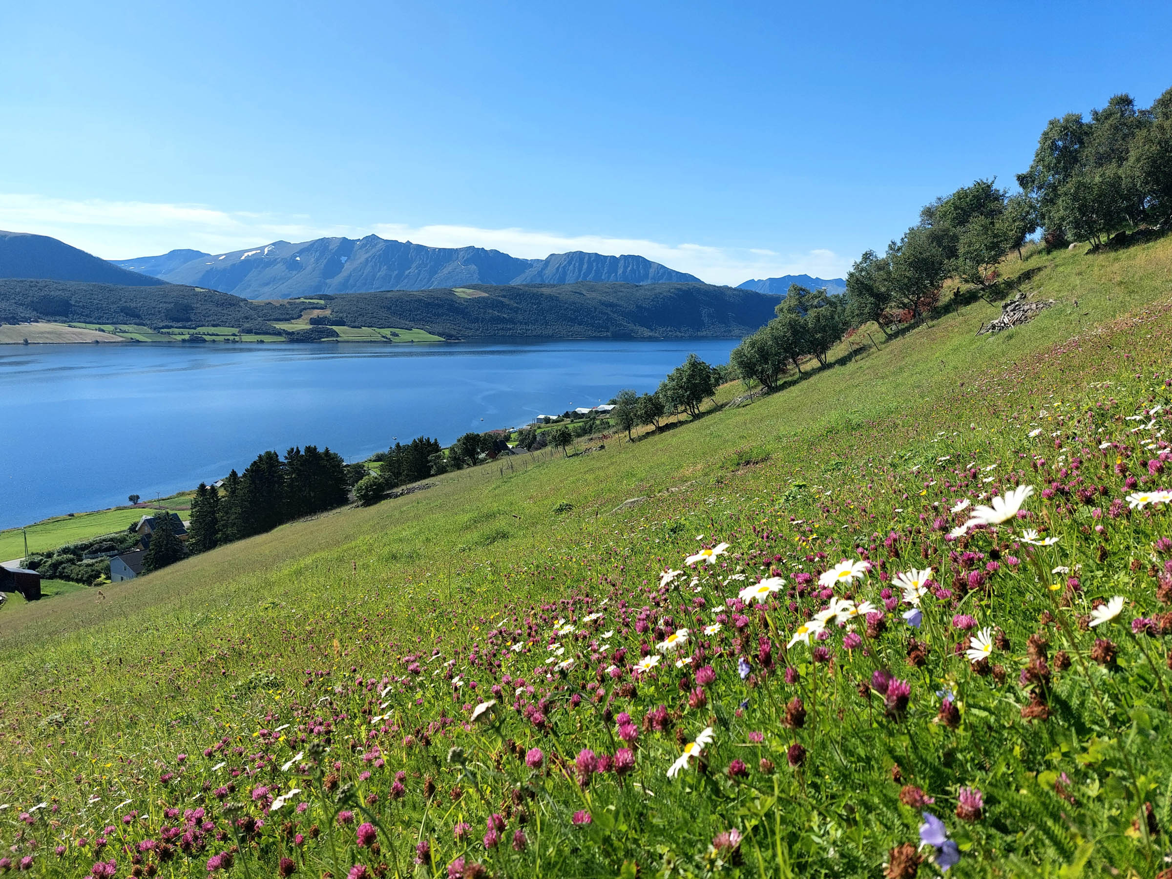
A great trip from Kvæfjord’s “capital” Borkenes takes you to mount Storhornet. This 722-metre peak has a commanding view stretching from Andøya Island in the far northwest to the alpine peaks surrounding the Gullesfjord in the southwest. Inbetween, the green and friendly landscapes of Kvæfjord are nestled. The hike begins at a parking area near the shooting range outside Borkenes, and has a rather gentle ascent through the forest and above the treeline.
Hike between the rugged peaks of Austerfjord
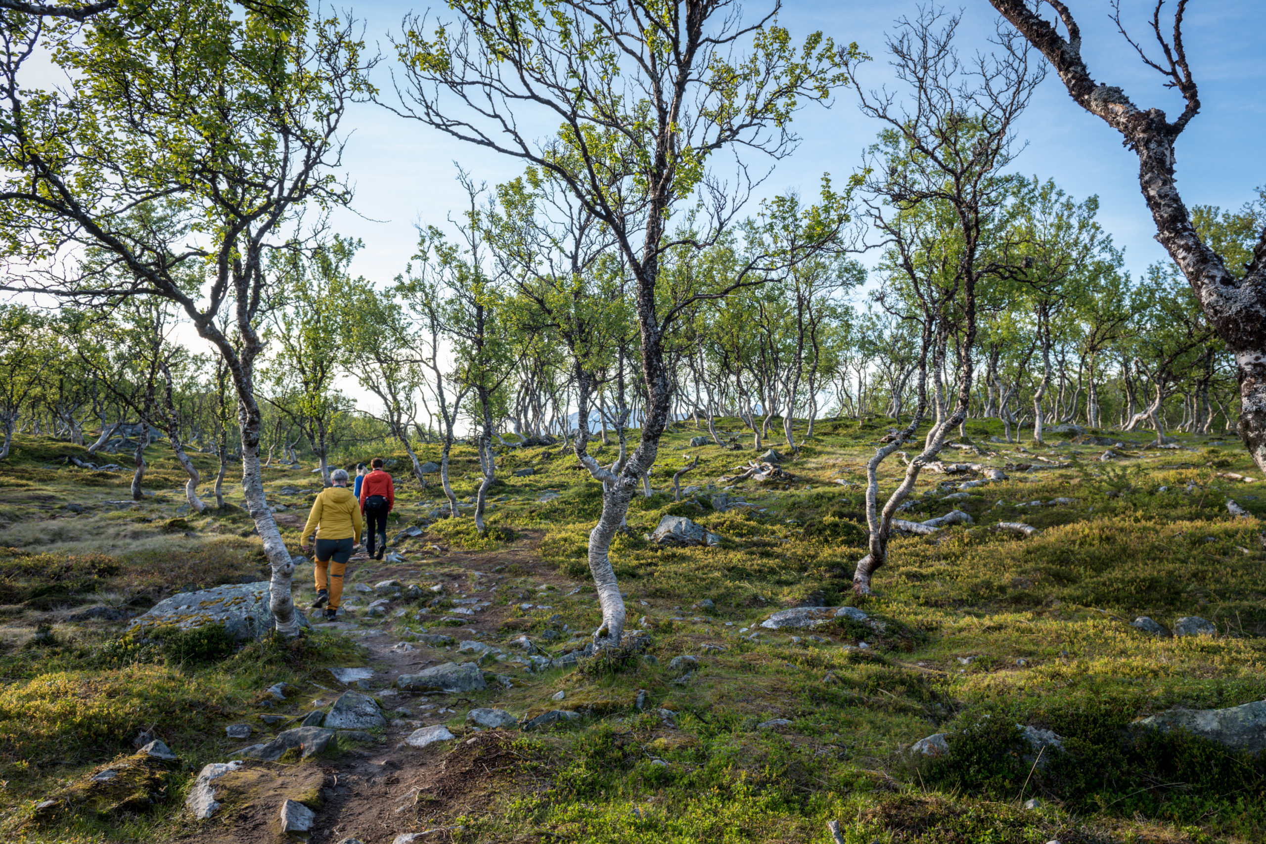
Kvæfjord splits into two branches in the south, both surrounded by alpine landscapes. Serious hikers criss-cross this mountainous area in many directions. The leisurely hiker, though, seeks out the peaceful valley from Fossestua in the innermost of the Austerfjorden. It all starts rather gently through the forest, before you ascend the Middagsfjellet mountain to an altitude of some 400 metres. Then follow the marked trail along lakes and bogs to the Håkonsbu mountain refuge. Around here, the trails part, and you can seek out different routes. Or just return the same way. The ascent covers about 550 meters, spanning a rewarding 13 km round trip.

Good to know about hiking
Harstad has varied scenery and many good hikes with great views to fjords, islands and mountains. Most of the hikes are easy to medium, and suited for a lot of people. For general information about Harstad : The website of Explore Harstad has a full overview of hotels, restaurants, activities and attractions in Harstad and the area around.
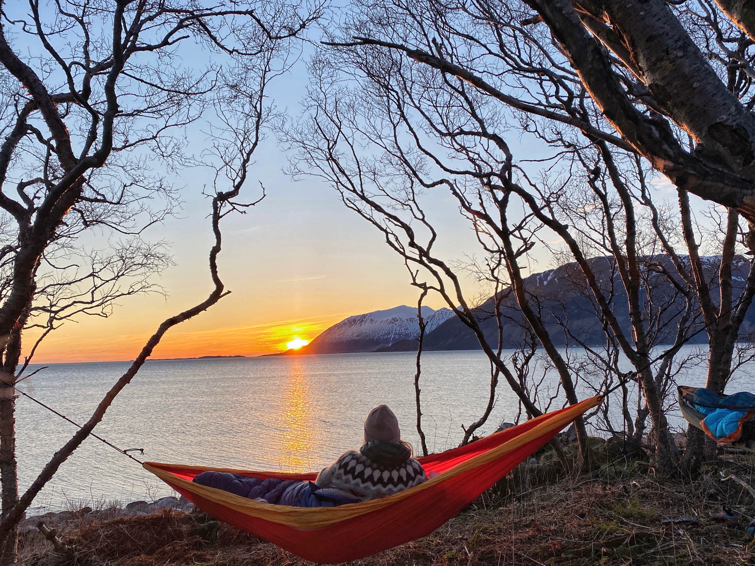
Some lowland trails can be used all year, but you can’t start hiking for real until June. The midnight sun season in June-July allows you to hike 24/7. Many locals prefer August, as there are less insects and fresher air. September and the first half of October are also great hiking months. If it doesn’t snow, you can go on shorter hikes in late October and November.
There are, unfortunately, no good websites for hikes in Norway in English. Ut.no has excellent maps, good photos and good info about parking and access in general. Use google translate.
If something goes wrong, you are responsible yourself. Trailmarkers, websites like ut.no, landowners or this article cannot be held responsible.
Stick to the path as much as possible. Do not leave anything behind, this also goes for orange peel and banana skins.
www.yr.no is an excellent Norwegian website.
If you are lost, you can call 75 55 90 00. If you need medical assistance, you call 113.
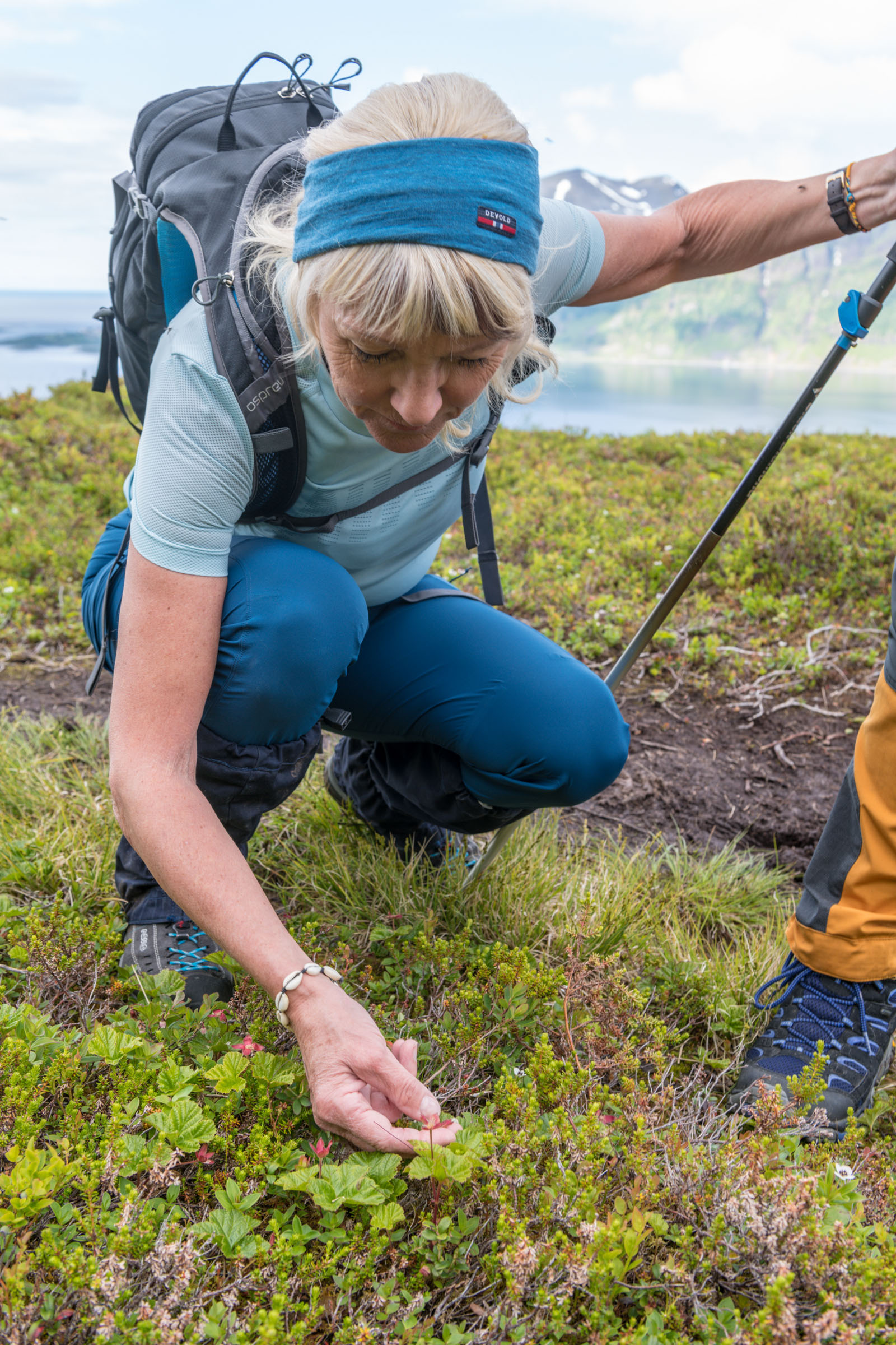
Layers! It’s perfectly fine to go uphill in shorts and t-shirts when the weather is fine. But it is absolutely necessary to have a backpack with extra clothes: A good sweater, a windproof jacket, a hat and gloves. The weather can change quickly, and mountaintops tend to be windy and a lot colder than in the lowlands. When you sit down on the top to rest, you put on extra layers. Trainers are fine on wooden paths. Above the treeline, however, the terrain can be very rocky, and you should definitely have more solid hiking boots.