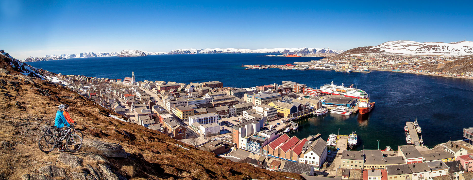
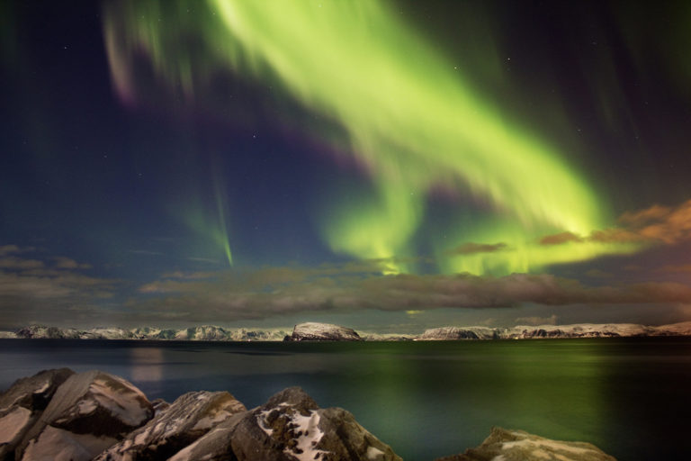
Hiking in the Hammerfest region often involves a ferry trip. We and our travelling companions were very sceptical about the weather when we climbed aboard the Bygderuta ferry at Hammerfest harbour in the Sørøysund strait. Drizzle and low clouds were interspersed with glimpses of the sun. On the crossing, a pod of dolphins put on a show for us between two tiny ports of call on the island of Sørøya. After an hour, we arrived at Akkarfjord, where our hike began.

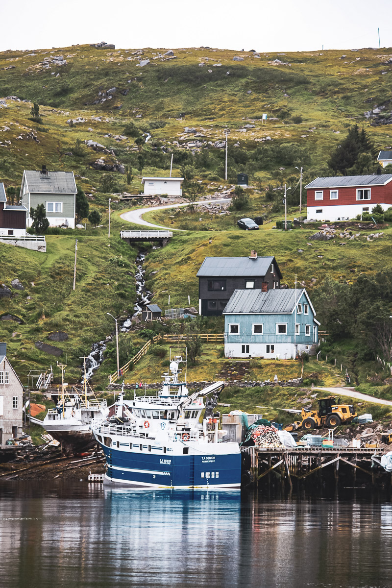
The trail starts in Akkarfjord, a traditional fishing village
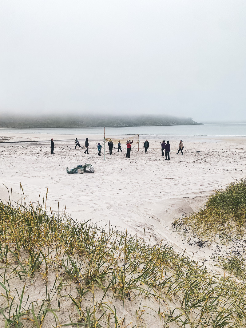
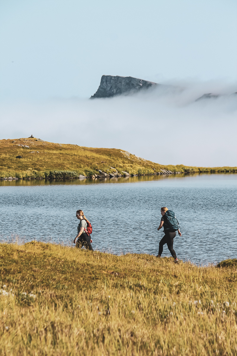
Akkarfjord is by far the biggest settlement on the north-east half of Sørøya, with about 70 people living there. We disembarked in a brief moment of sunshine, but soon the wind and rain were blowing in our faces. A track led us up over the slopes behind Akkarfjord, into a mountain landscape dotted with numerous lakes. It flattened out quite quickly, and then sloped gently down towards the west of the island.
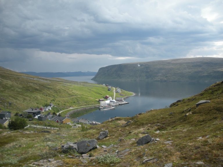
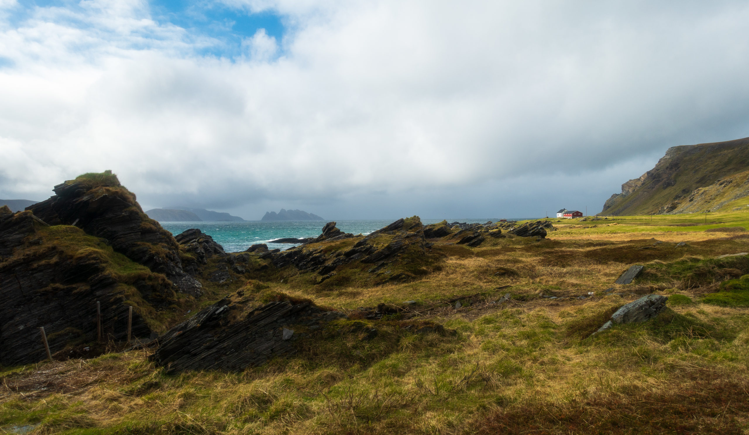
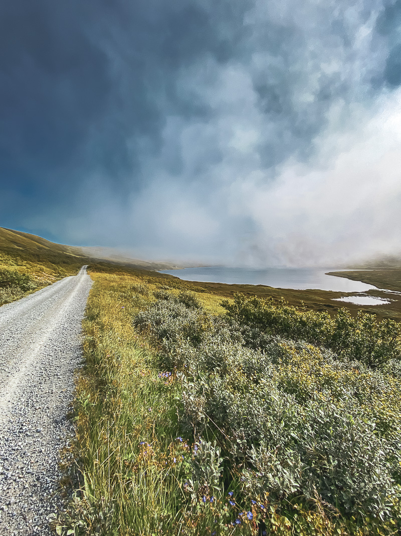
Gamvikvann lake has views to the windswept coastline
At Gamvikvann, which is surrounded by a verdant copse, we sought shelter from the rain in an open cabin. Cookies and a flask of hot coffee lifted our spirits, and when we set off again, the sun broke through. Off the west coast of Sørøya, there is a chain of rocky islands that look black against the horizon, so unlike the green heathland that we were walking through. To the south, there was a wandering sand dune that has been thrown high up the mountainside by the north wind in the heavy winter storms.
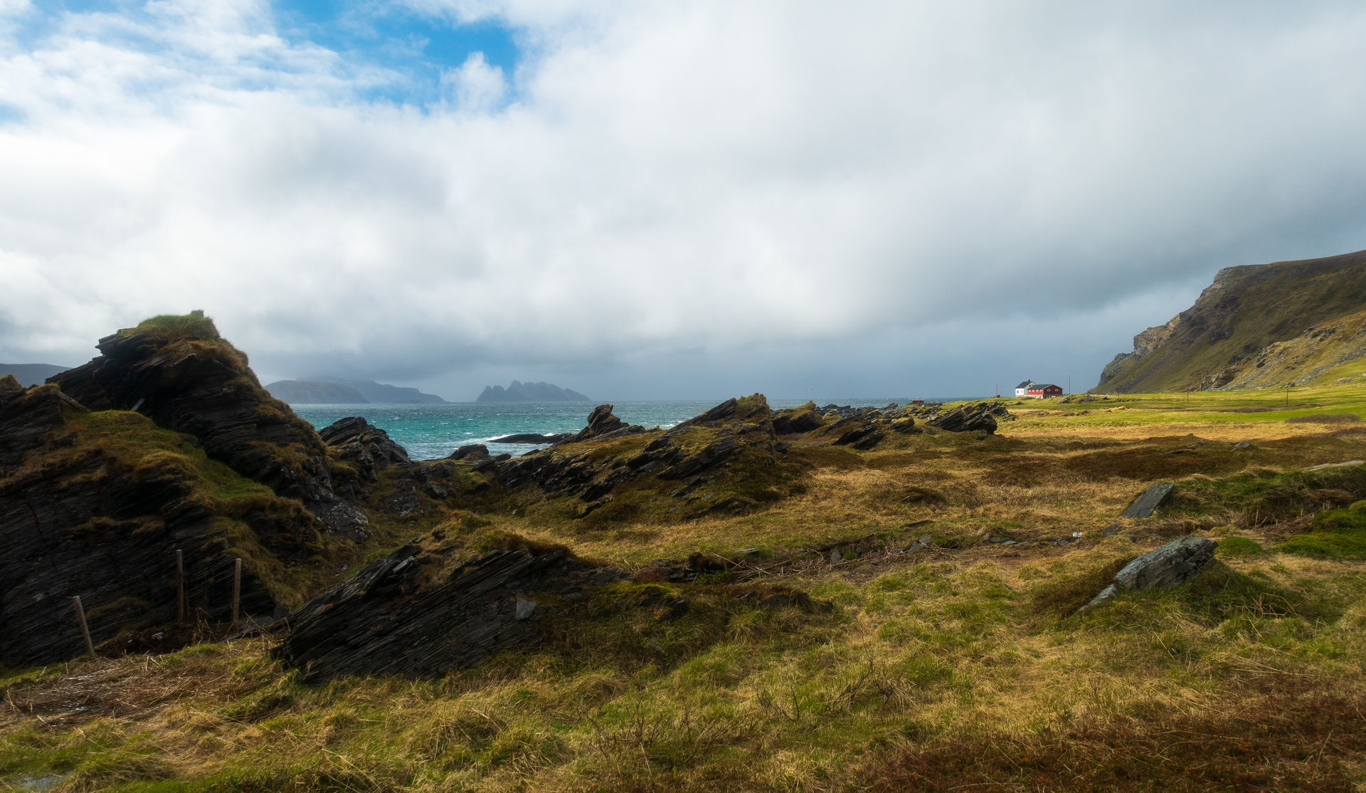
Gamvik is heather country
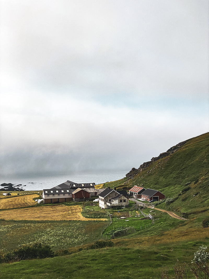
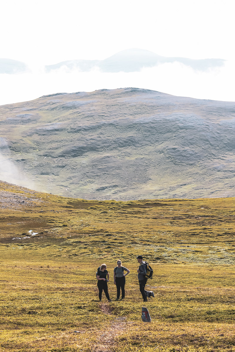
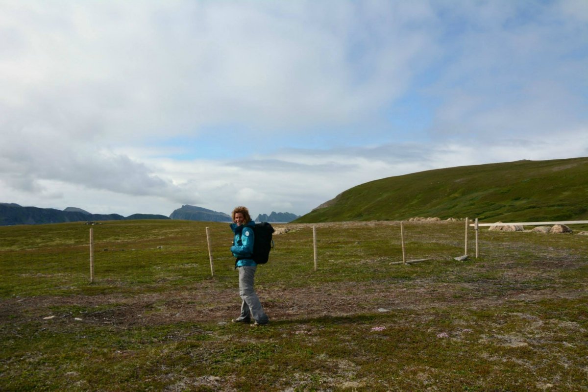
Gamvik is an extremely isolated sheep farm on the outer side of Sørøya. Suddenly, we found ourselves walking between well-tended hayfields and fences in a rural paradise that could have been in Western Norway. The track ended here, and now we were walking on stony paths and more frequently on soft, springy heather and moss. Occasionally, we had to jump from tuft to tuft through a bog, or walk around a lake. The variation in terrain is good for your feet as well as your eyes.
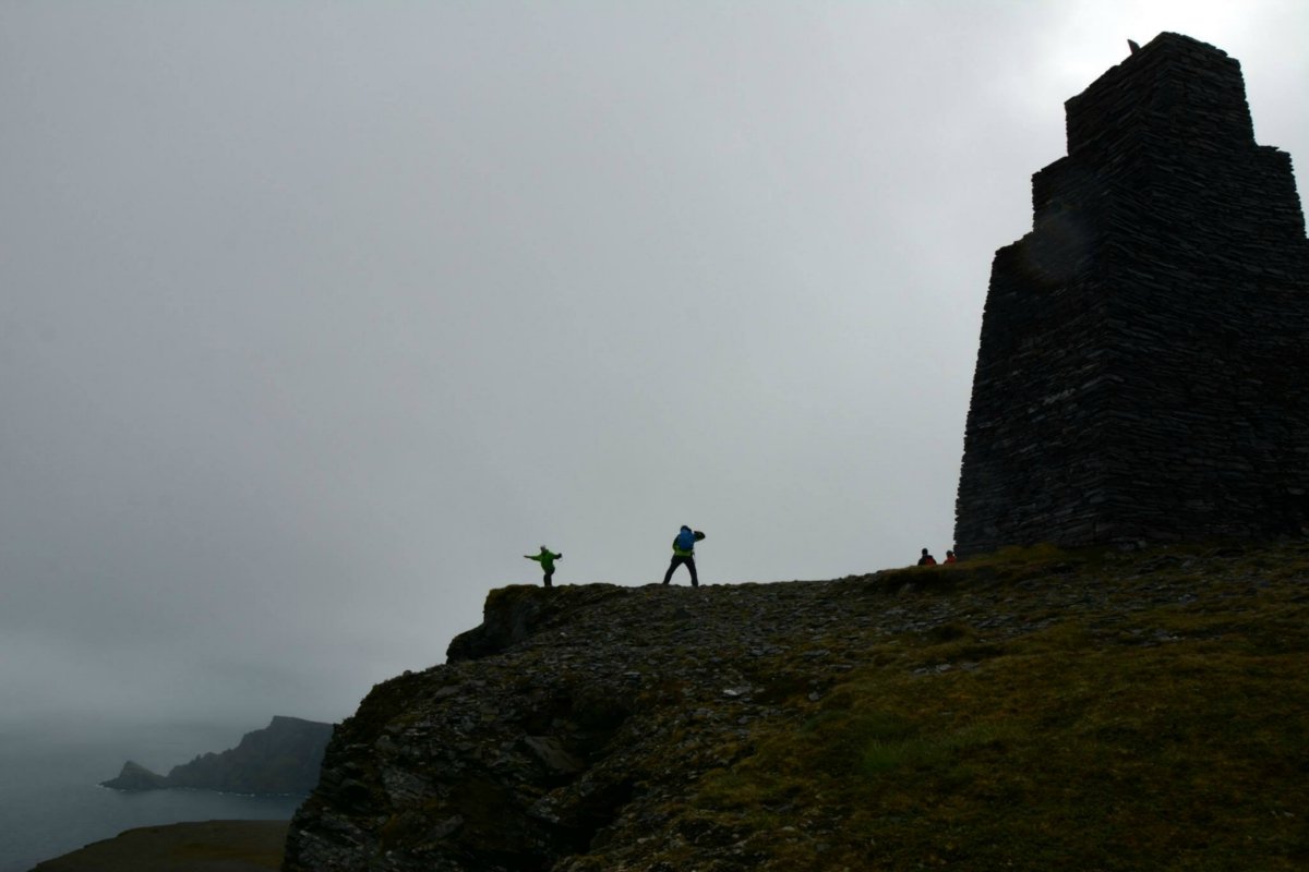
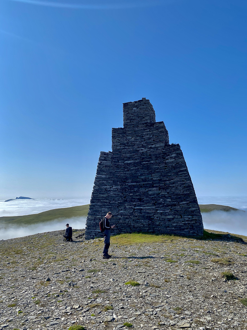
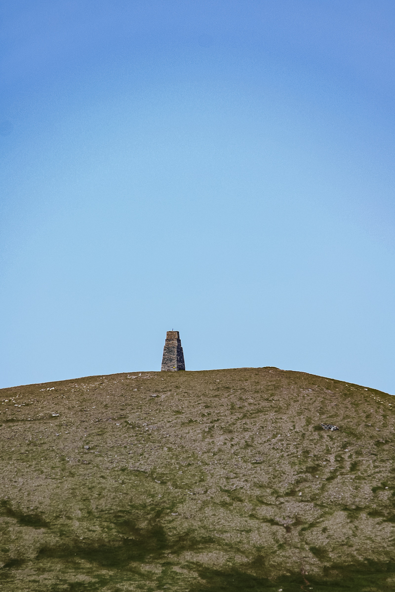
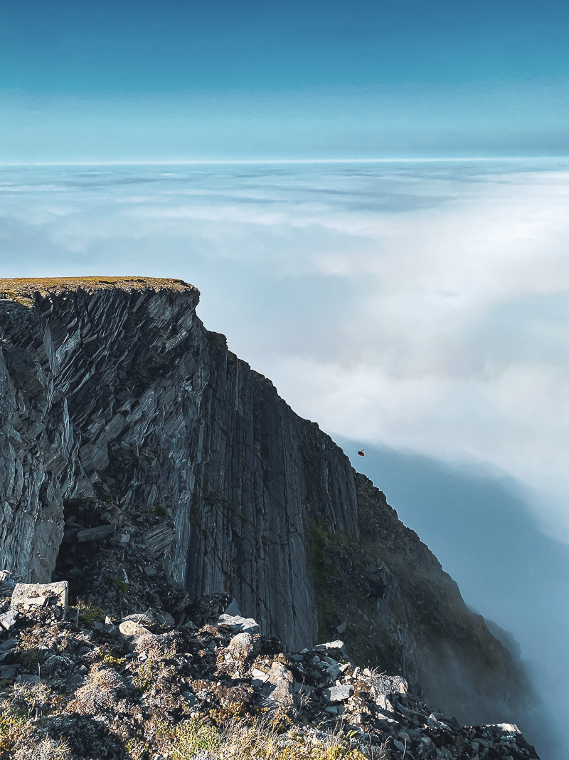
Kjøttvikvarden is a seafarers navigation marker
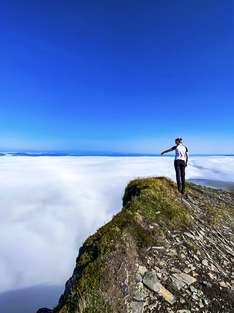
Kjøttvikvarden is a 9-metre (30-feet) high navigation marker for sailors, erected in 1853 on the 320-metre (1,050-feet) high Kjøttvikfjell mountain. It is basically a solid stone tower designed to be seen far out to sea. When we approach from the south side, we can see the marker plainly, even through patches of fog. The surface changed gradually from heather to grass and then stone, as we climbed several hundred metres fairly quickly. As we neared the summit, the fog thinned out and we enjoyed an unobstructed view over the Arctic Ocean, which was crashing against the rocks 300 metres below us. We felt as if we’d reached the end of the world, and that the hike had reached its natural destination.
Take a stroll and stay overnight on the quiet side of Sørøya island
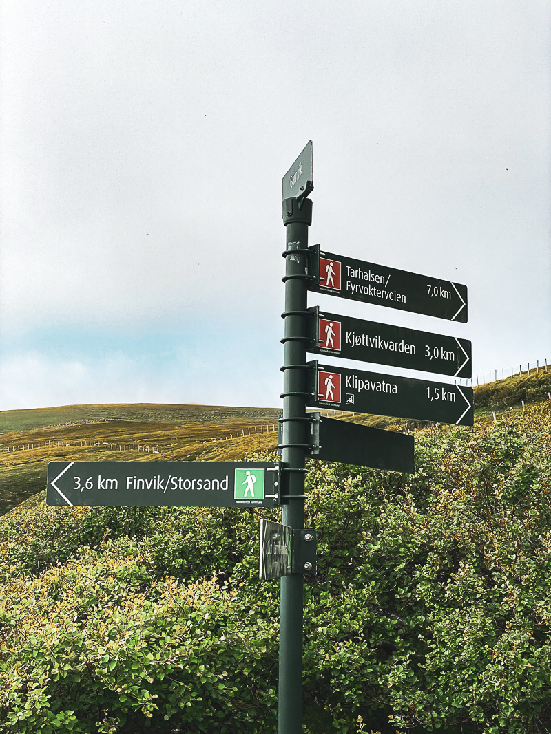
Our hike took between 5 and 6 hours, including several breaks, and we walked about 20 kilometres (12 miles). We weren’t particularly lucky with the weather, but windproof trousers and jackets, hats and gloves kept us warm and dry. We hiked the same route there and back, but later in the summer, when things dry out, you can try a circular route that provides more variation. The route isn’t always marked, so we recommend that you buy one of the excellent maps that are sold at the tourist information office in Hammerfest city centre. The landscape is generally easy to read. Most people who do the hike take the ferry to and from Hammerfest, but there is simple accommodation available in Akkarvik, and Gamvik Gjestegård is a stunning guesthouse in an incredibly quiet location far out on the west side of the island.
Who should do the hike?
Compared to many other parts of Northern Norway, the maximum elevation of 320 metres (1,050 feet) really isn’t a lot. The terrain is also easy underfoot, and varied with no vertiginous sections. However, the distance of 20 kilometres (12 miles) takes its toll, so you need to have full mobility in your back, knees and feet. A rucksack with extra warm clothes is also a must, even if the weather forecast sounds ideal for swimming on a hot summer’s day.
You can go all the way to Tarhalsen lighthouse
On a good day, you can also go on to Tarhalsen, which is a little lighthouse at the very northern end of the island of Sørøya. For more information, go to ut.no for good maps, and good general hiking info on the Visit Hammerfest homepage.

Visit Hammerfest
For all the information you need about Hammerfest and the surrounding region including Sørøya, check out the Visit Hammerfest homepage.