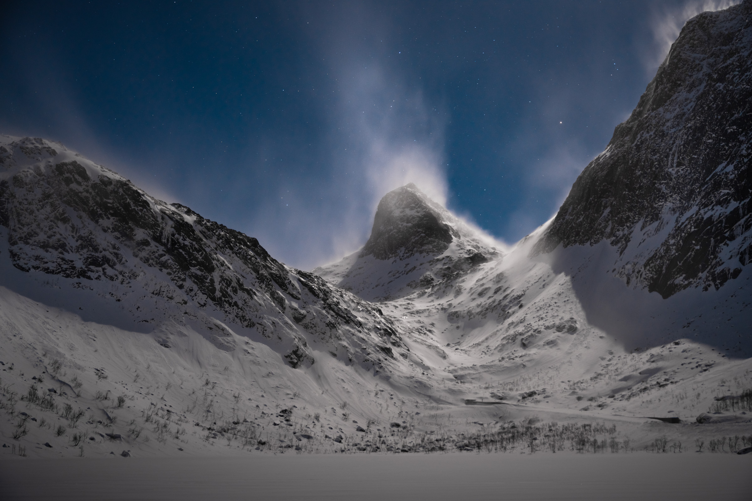
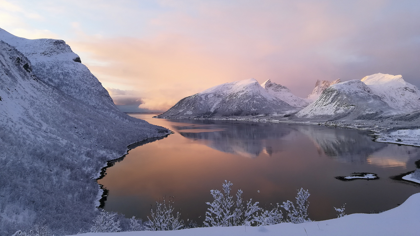
Senja’s outer coast is where the mighty forces of the Atlantic meet some of Europe’s oldest geology. Scarred by long-forgotten upheavals and many ice ages, the peaks and cliffs dive abruptly into the deep ocean. Here and there, hidden coves allow people to live in dense, colourful fishing villages. Some of them are busy and industrious, others have a feel of days bygone. On sunny Summer days, it has an air of Mediterranean glamour coast. When a winter storm hits, the stage is set for nature’s own special effects.
The coastal road is a new thing
Senja’s outer coast has been a place of beauty for millions of years — so why haven’t we heard of it before? The reason is that, until recently, only a few dead-end roads wound their way over from the inner coast. Now the villages are linked by roads and tunnels, so you can drive along most of outer Senja. In summer, ferries run from Botnhamn to Brensholmen, one hour from Tromsø, and from Gryllefjord to Andenes. This means you can easily include this route on your way north of south along the Atlantic between places like Tromsø, Andenes and Lofoten. Below are a few of the highlights on the trip from Botnhamn in the north to Gryllefjord in the south, today one of the 18 designated Norwegian Scenic Routes. This status means that there are architecturally designed places to stop, admire the view and visit the toilet.

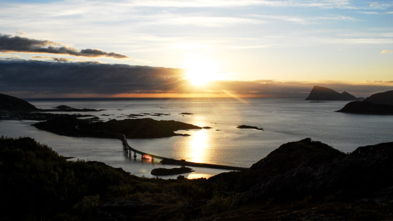
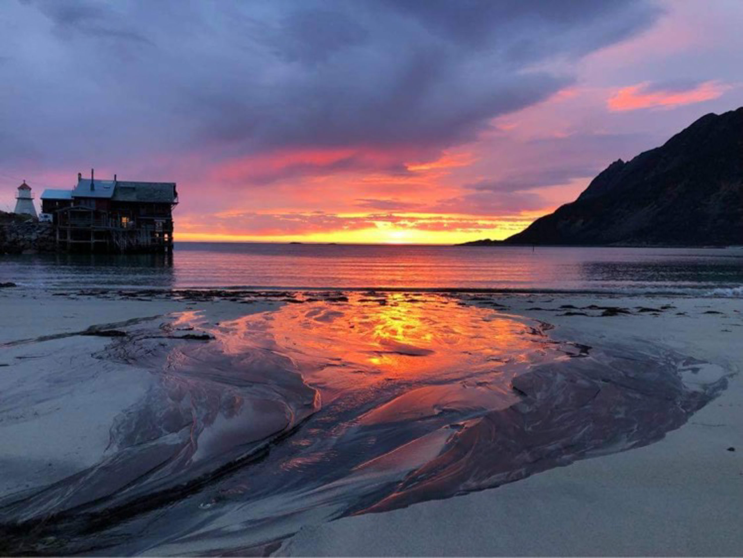
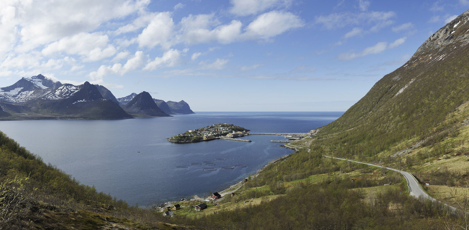
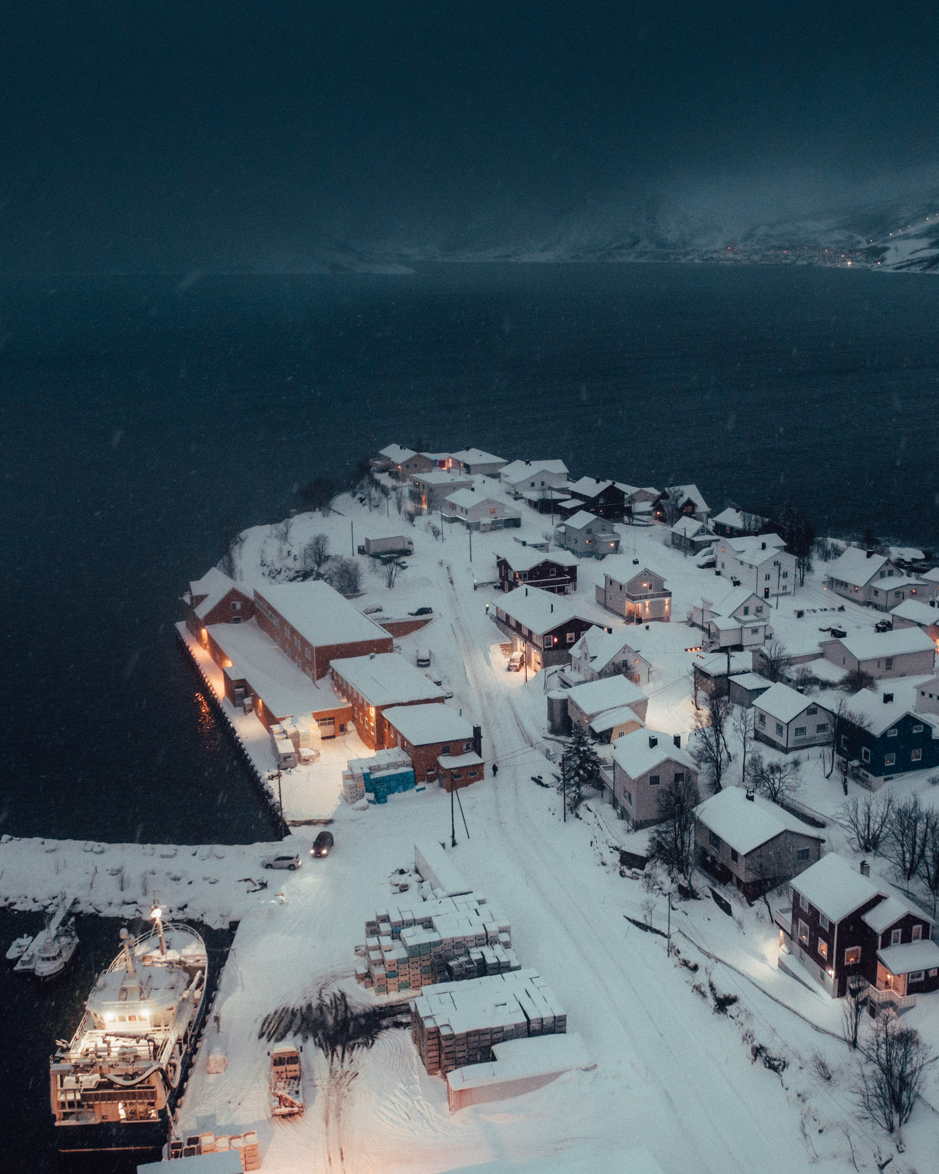
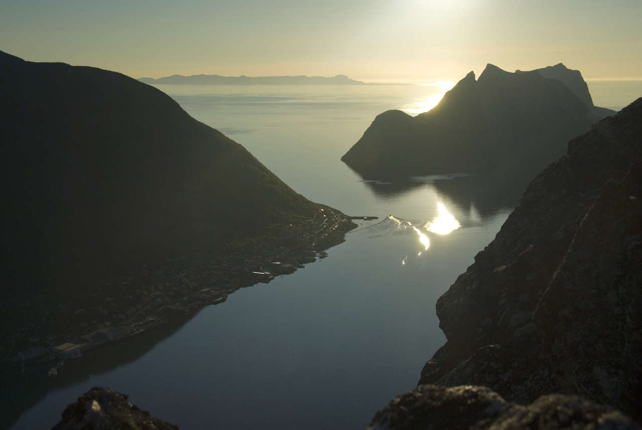
Husøy is tied down and bustling
The island of Husøy isn’t really part of Senja; it is linked to it by a pier that’s been blue since the island community appeared in a reality TV programme a few years ago. Cod is fished here and exported for a huge profit every year, so the village always seems busy. But its exposed location means that the roofs of some of the houses have had to be tied down. The location couldn’t be more scenic, with a chain of rocks and peaks lining both sides of the Øyfjord.
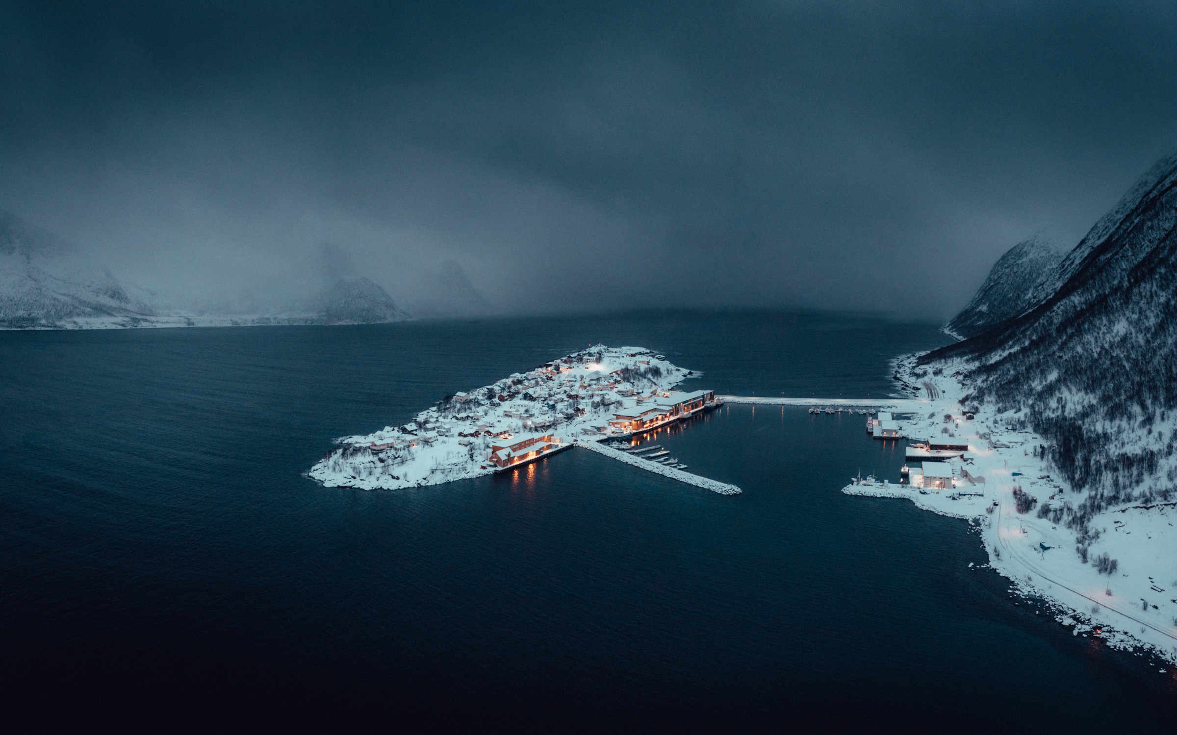
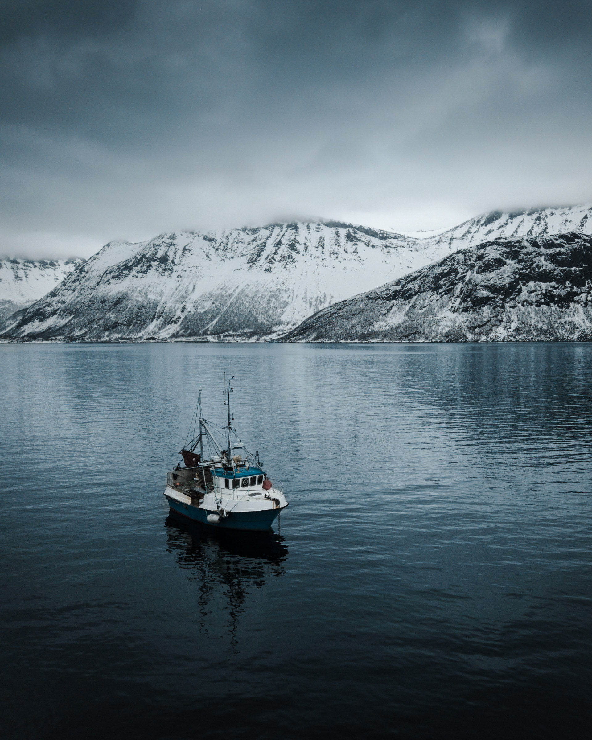
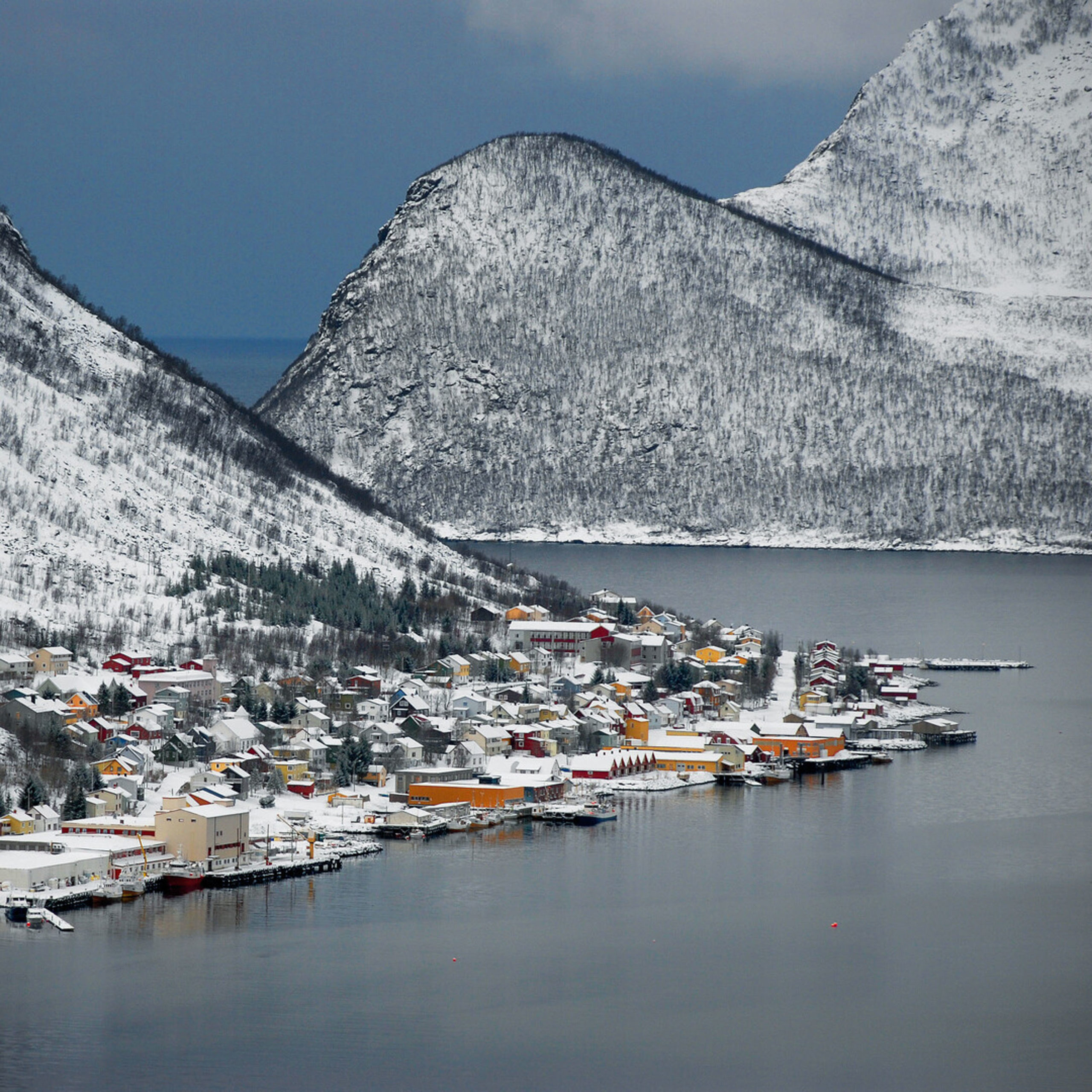
Senjahopen and Mefjordvær are twin villages
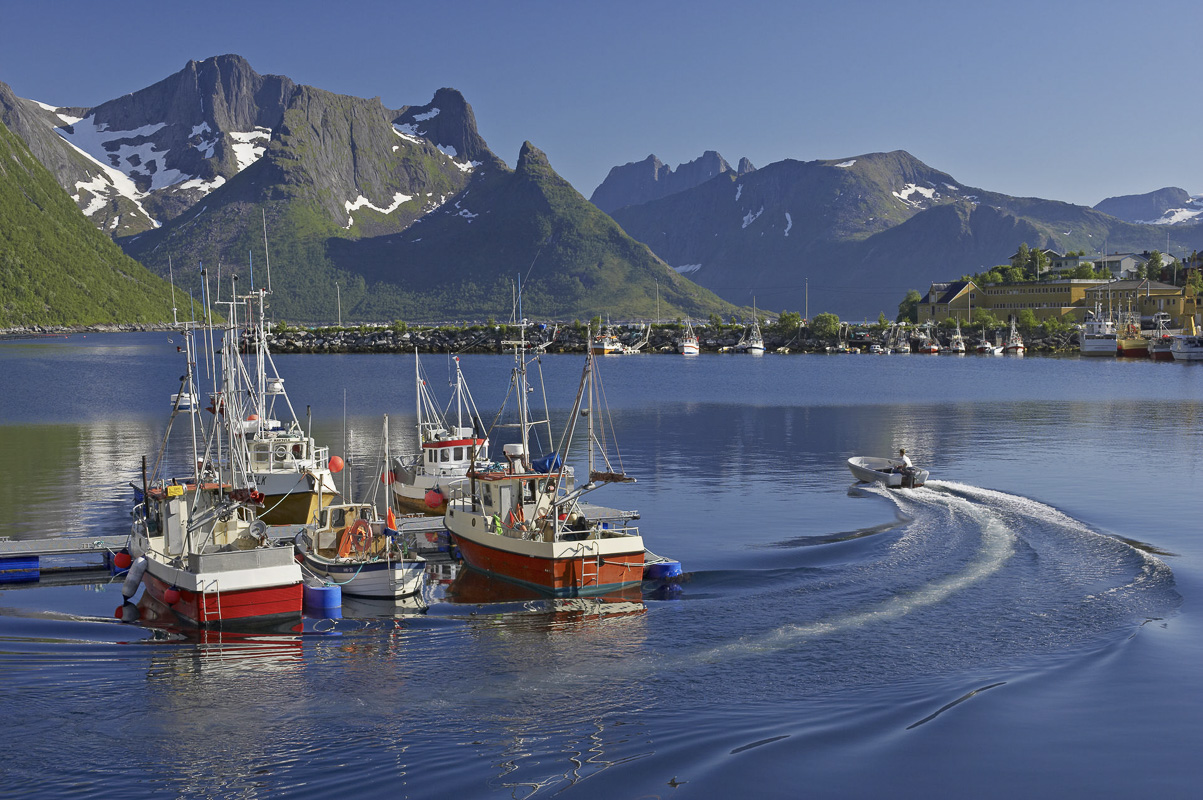
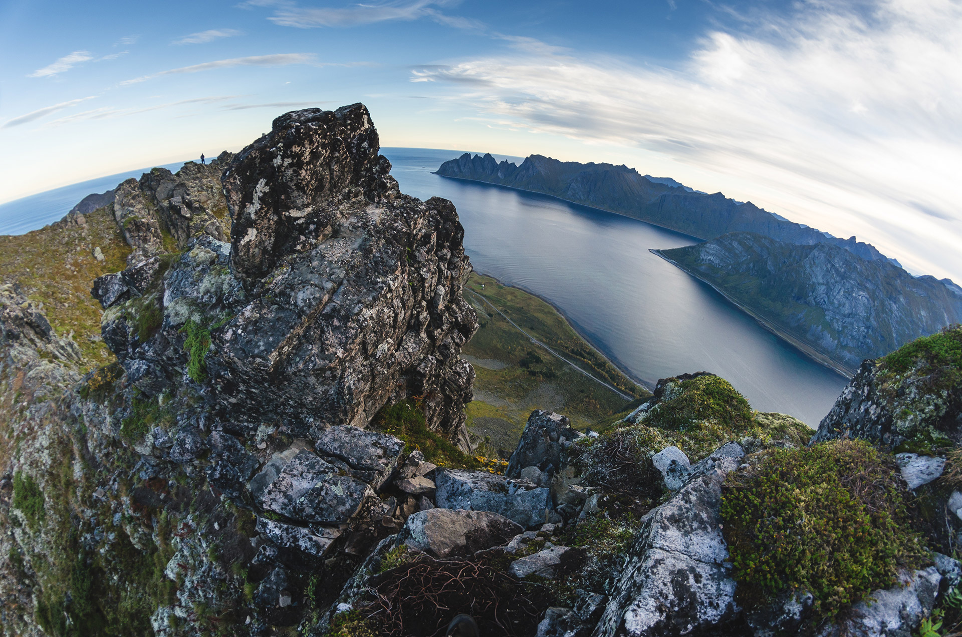
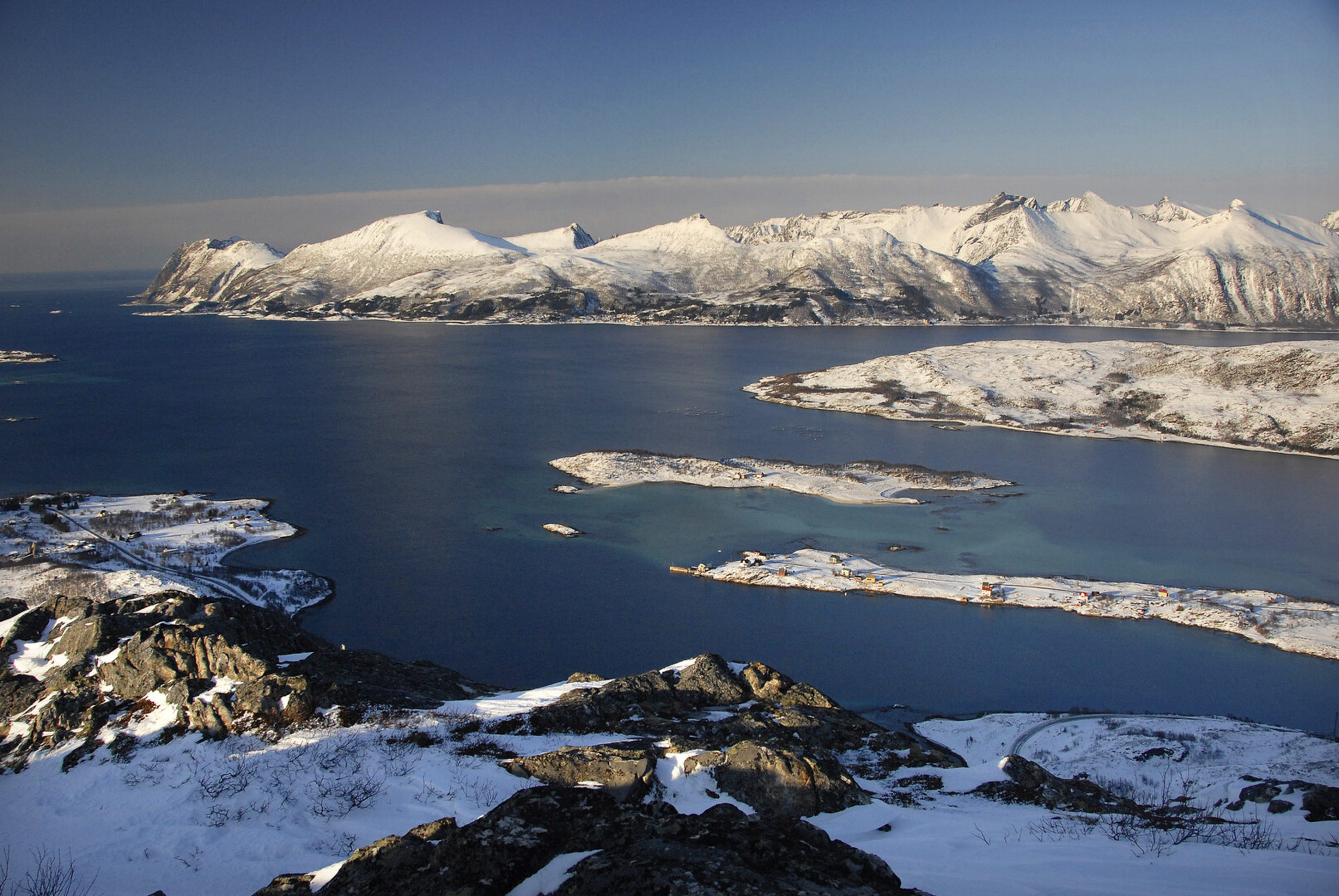
The twin villages of Senjahopen and Mefjordvær have a different pace and mood. Senjahopen is bigger, with an active fishing fleet and a busy fishing industry. Mefjordvær is more historic, with many old buildings. The best photos are taken from the lighthouse, which offers views of both the village and the steep outer coast of Senja. Or you can do the easy climb to the hill Knuten, with uninterrupted seaviews to the west and dramatic cliffs and mountains to the north and east.

The golden loo adorns the Ersfjordstranda beach
Well through the tunnel from Senjahopen, the Ersfjord opens up. Here, the architecturally accomplished public toilet is clad with golden wall plates, earning it the nickname “Gulldassen” – the Golden Loo. When your business is settled, you of course head down to the beach. On lovely summer days, the refreshing water is tempting, on a stormy autumn day the feel is completely different. Make sure to stick to the designated walkways, the vegetation on the sandy ground is sensitive to too much walking.
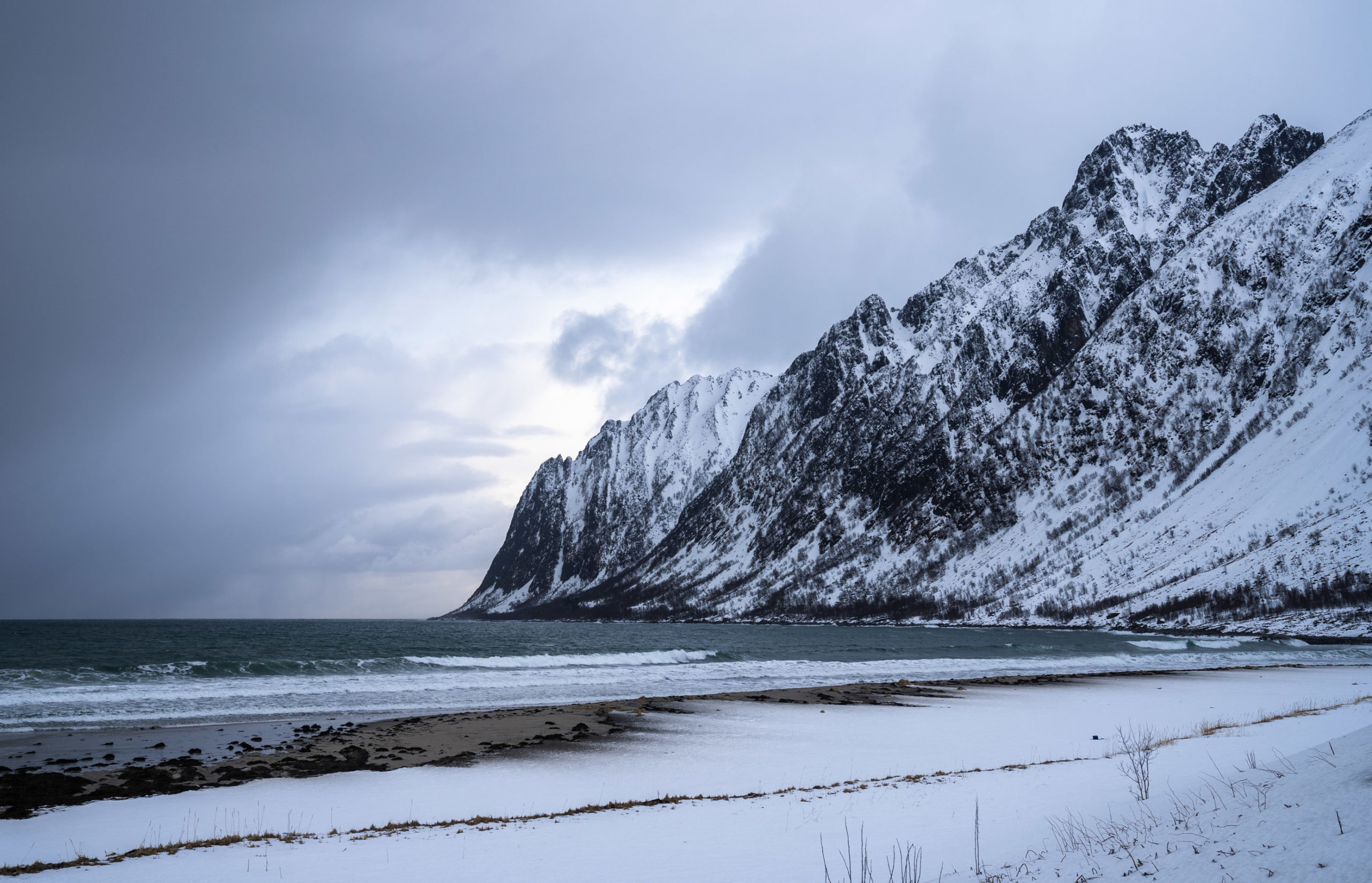


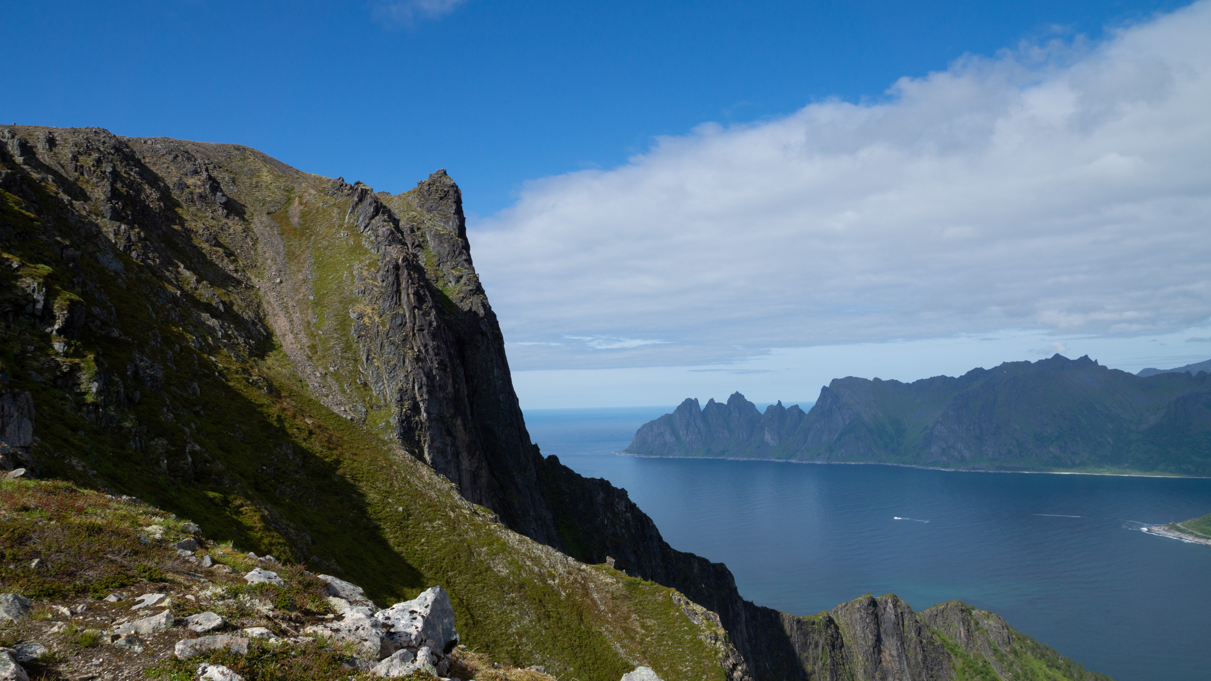
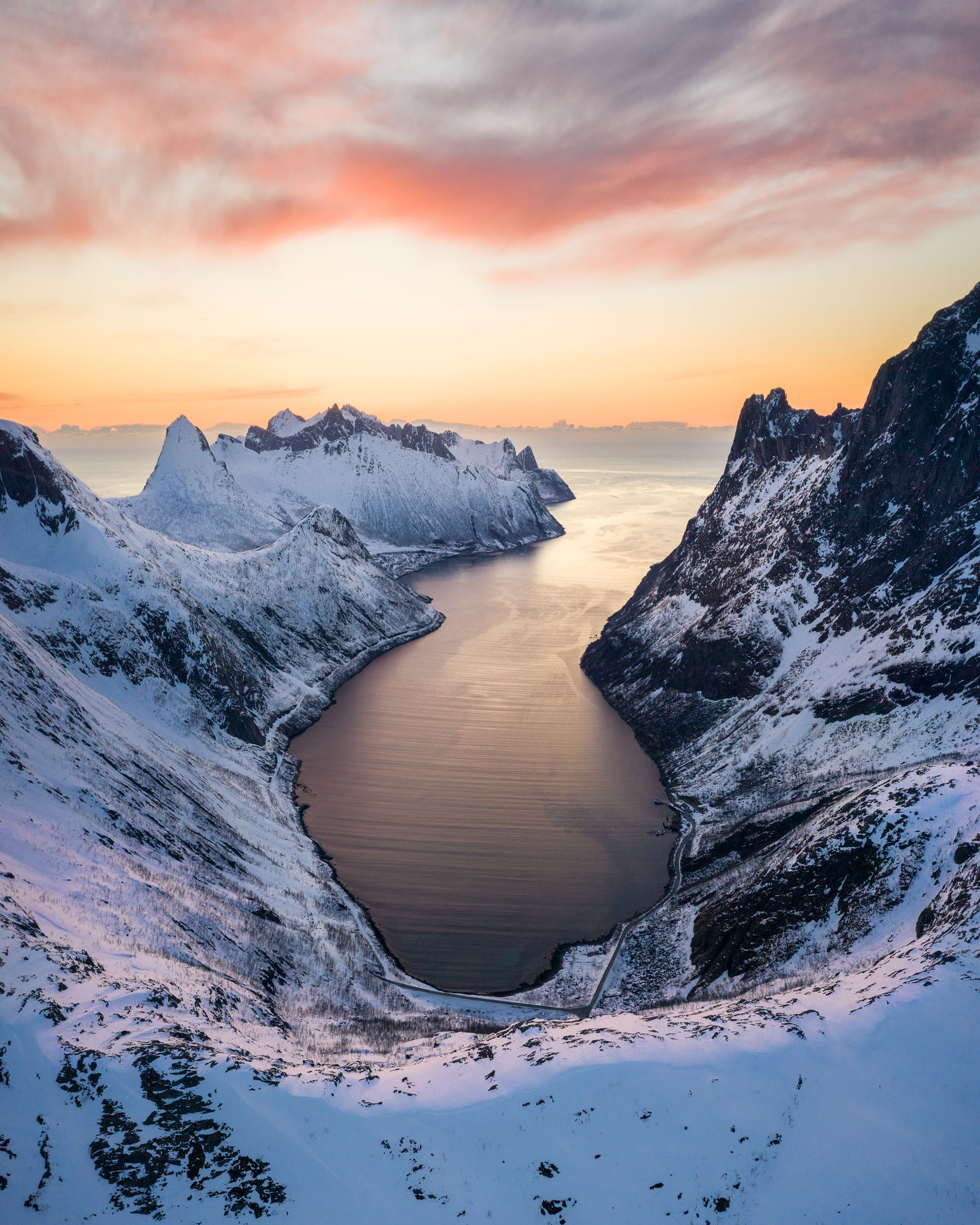
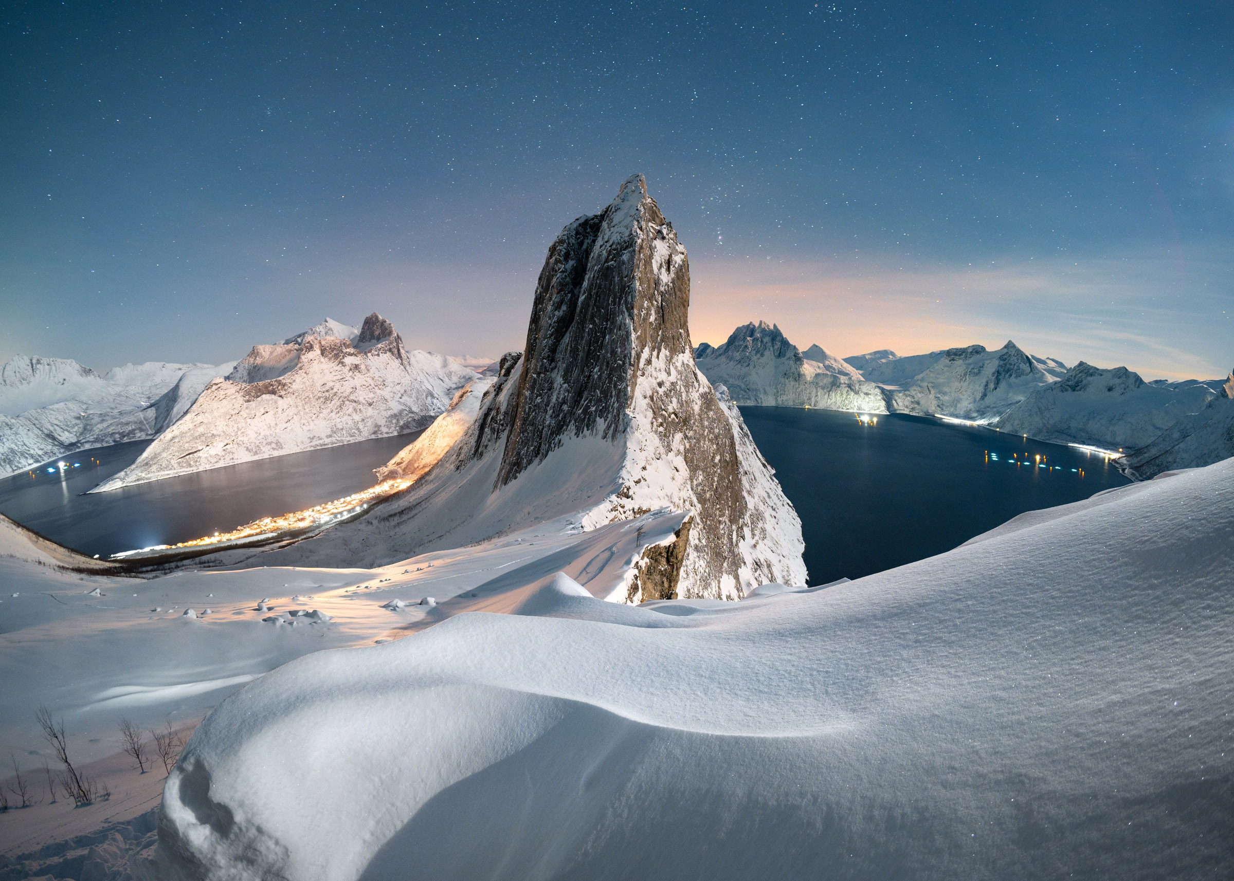
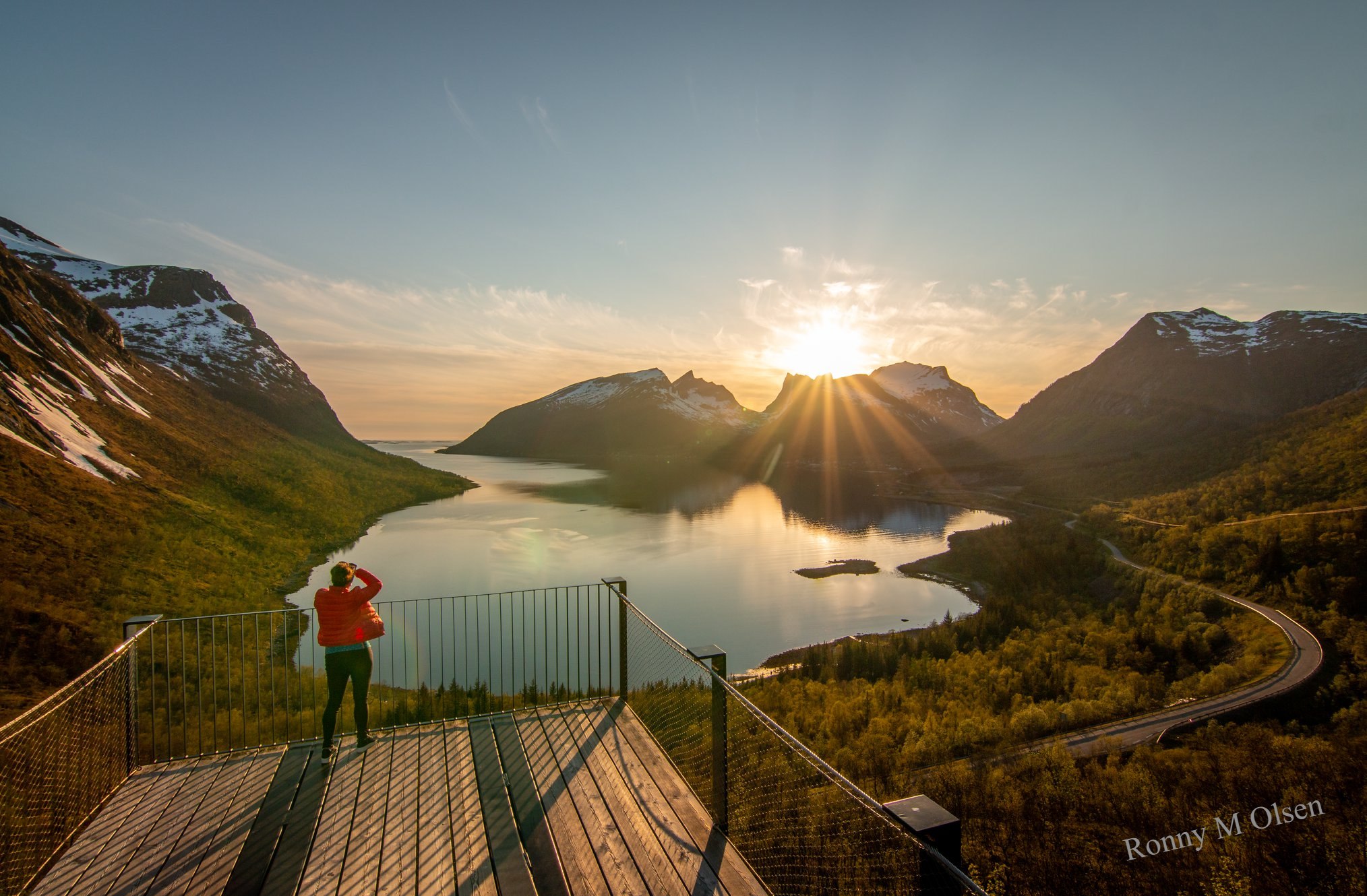
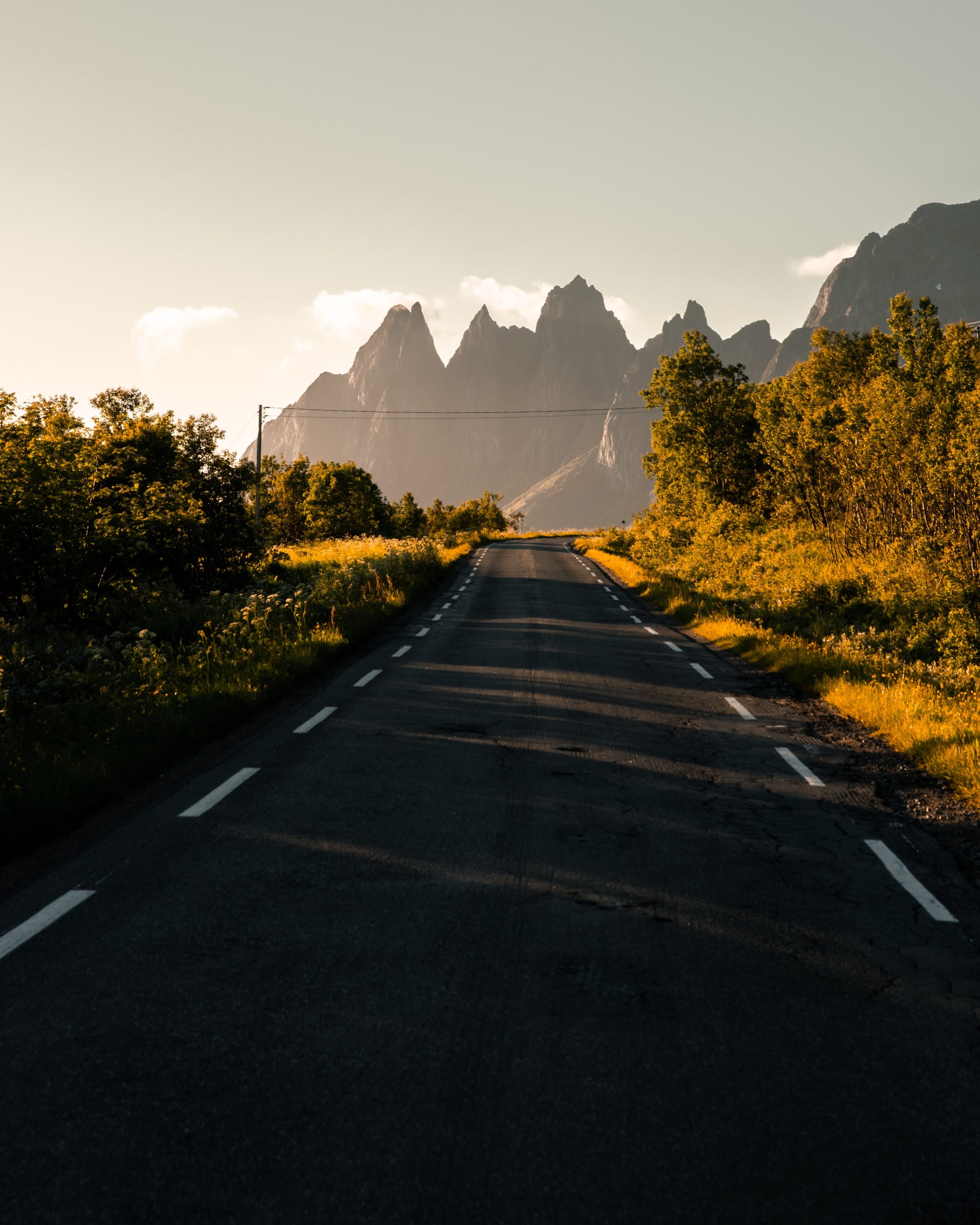
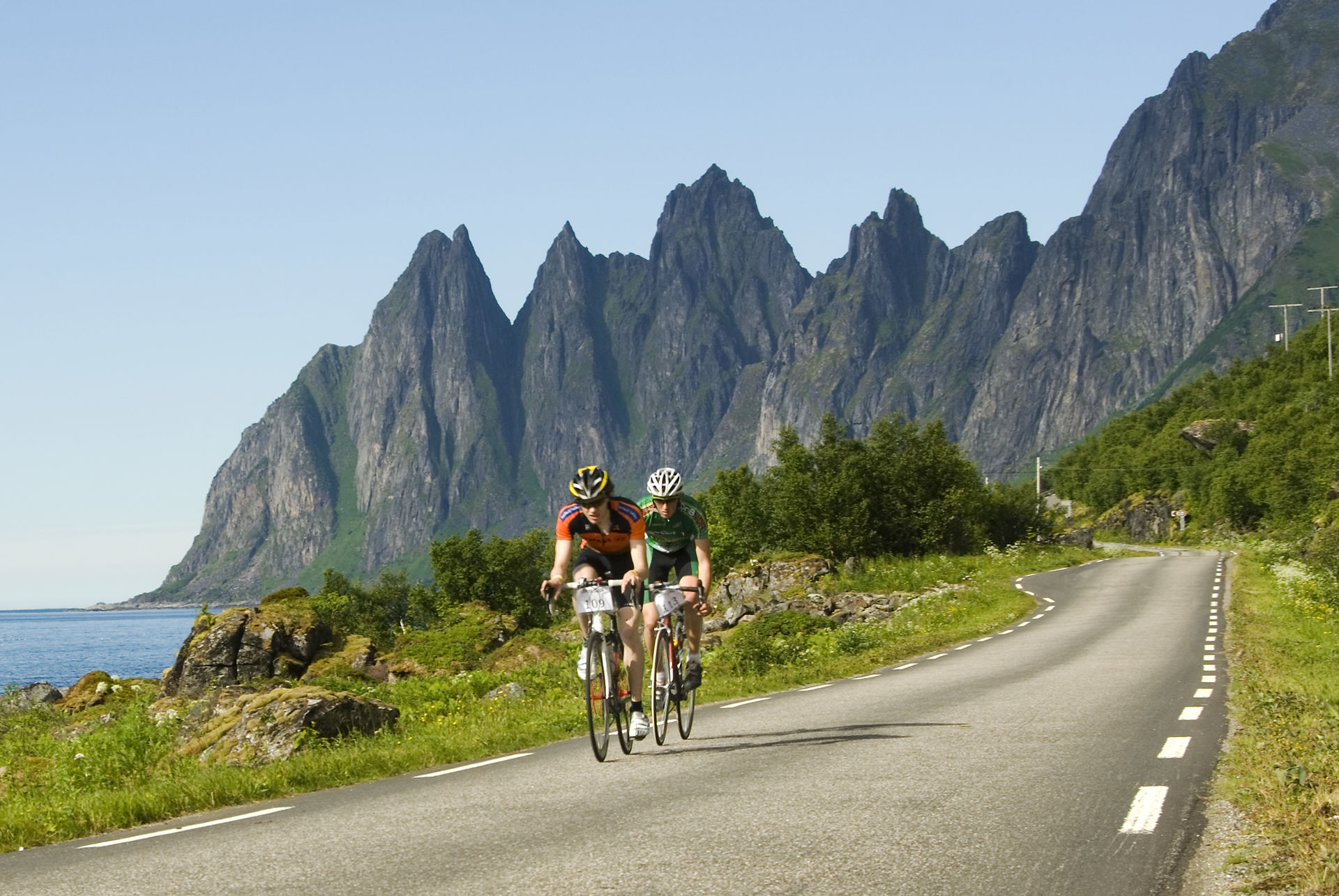
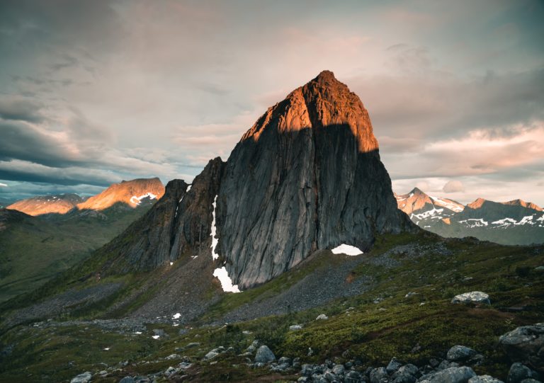
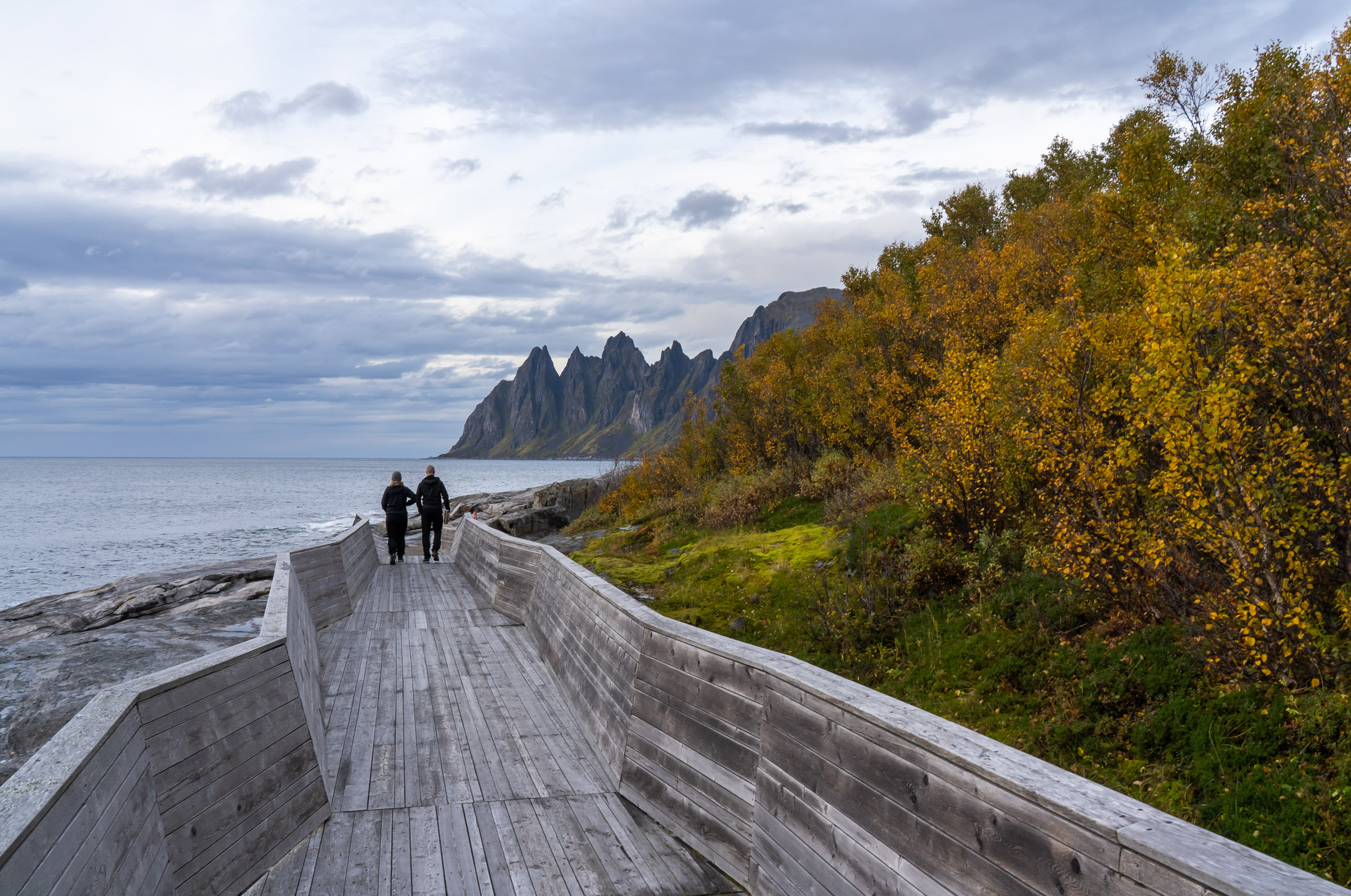
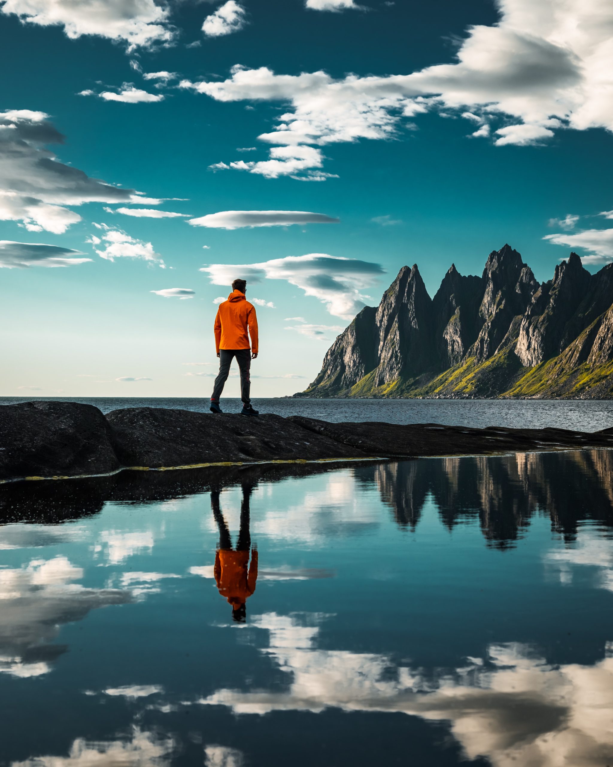
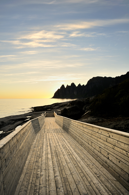
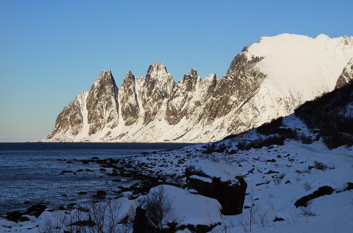
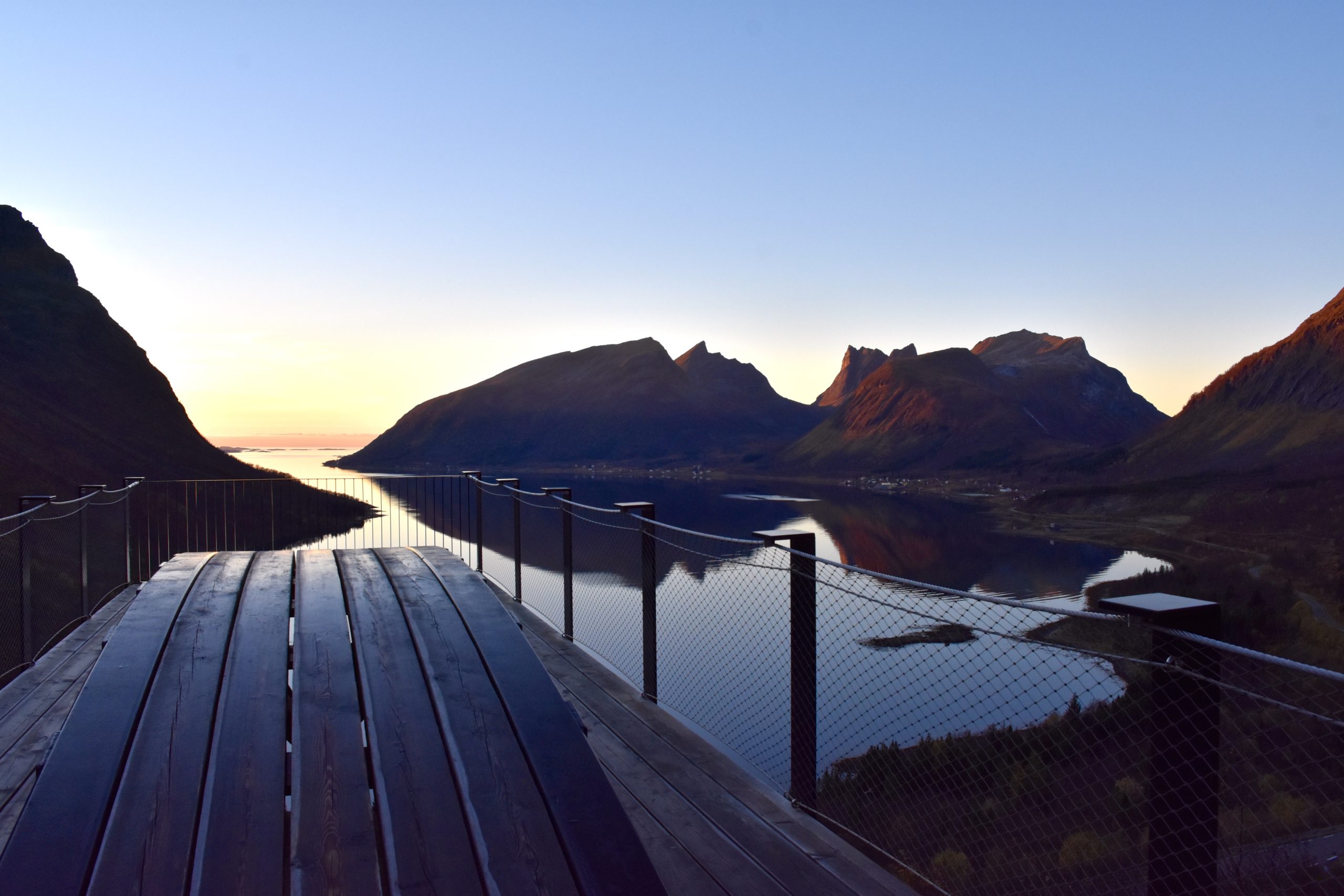
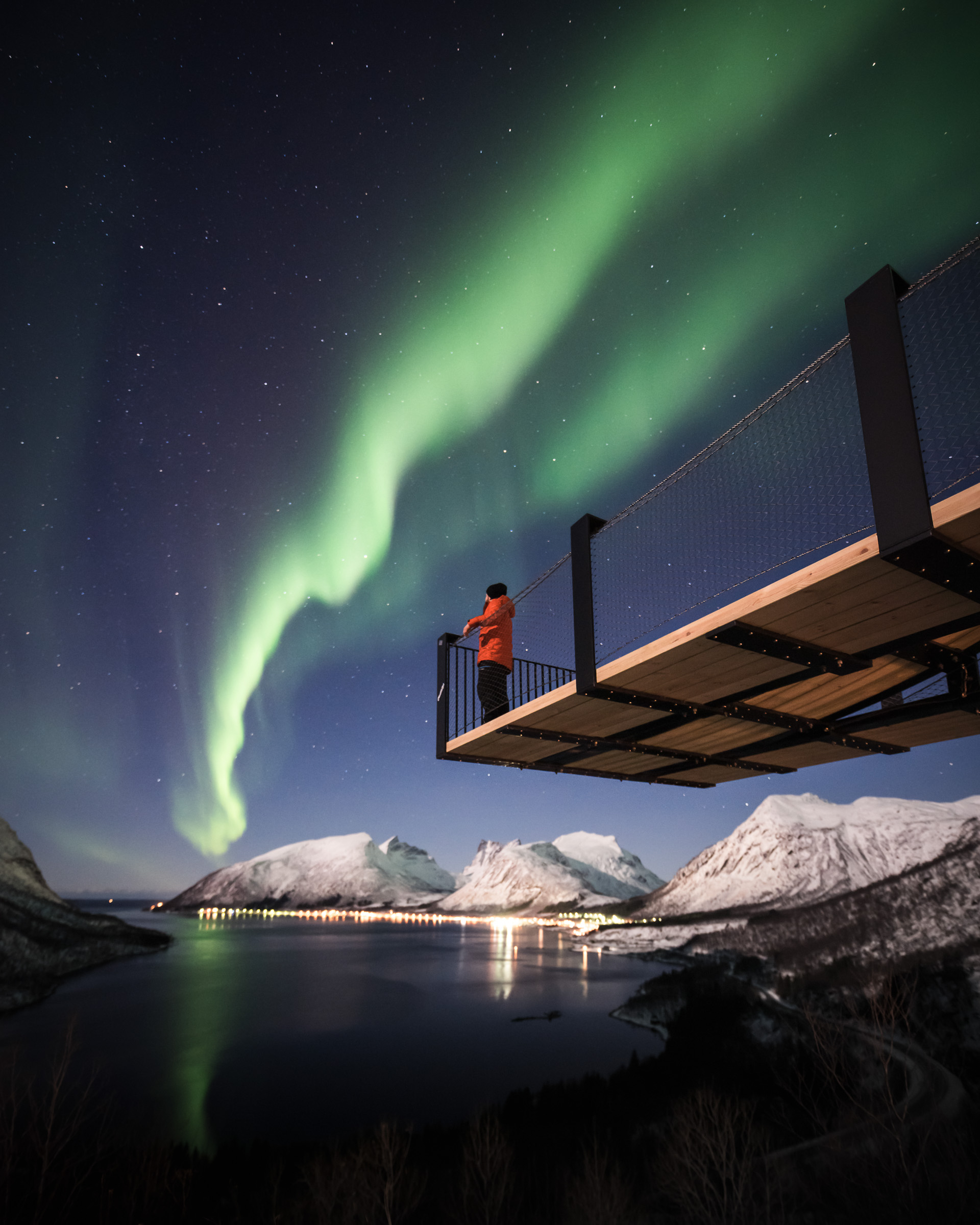
Okshornan is a must see when visiting Senja
In the middle of this stretch, the sheer, saw-toothed peaks of the Okshornan range tower 6-700 m (1970-2300 ft.) over Erfjorden. This is a favourite spot for photos, as the view of the peaks on the horizon is so striking. Access has been made easier thanks to an award-winning, modern platform — so you can view Okshornan easily and in style. Photographers are delighted by the sleek, polished rock with pools reflecting the Okshornan cliffs. Sturdy shoes are a good idea, as the polished rock can be slippery.
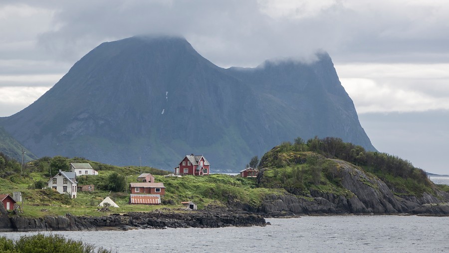
Bøvær has great summer beaches
The beautiful location of Bøvær is another favourite detour, with its white beaches and a fantastic view of the 98 islands of the Bergsfjord and out to the Atlantic. Kråkeslottet, the former village owner’s home, is the photo motif par excellence.
Feel your stomach churn in Bergsfjord
Skaland village is a place for food and coffee along the route. The road to the south goes through lush forests and up hairpin curves to the Bergsfjorden viewpoint. The viewpoint here flexes slightly, creating a dizzying feel in your stomach. Popularily, it’s therefore called Magasuget – the suction in your stomach. Of course, stopping here is compulsory.
Hamn in Senja was the first to have electricity
Hamn in Senja is now a resort, but it was formerly an industrial and trading town. Nickel was extracted here for a short but hectic period in the 1880s, and it was the first place in Northern Norway to benefit from electricity. Here you can have lunch, and do easy walks with great views.
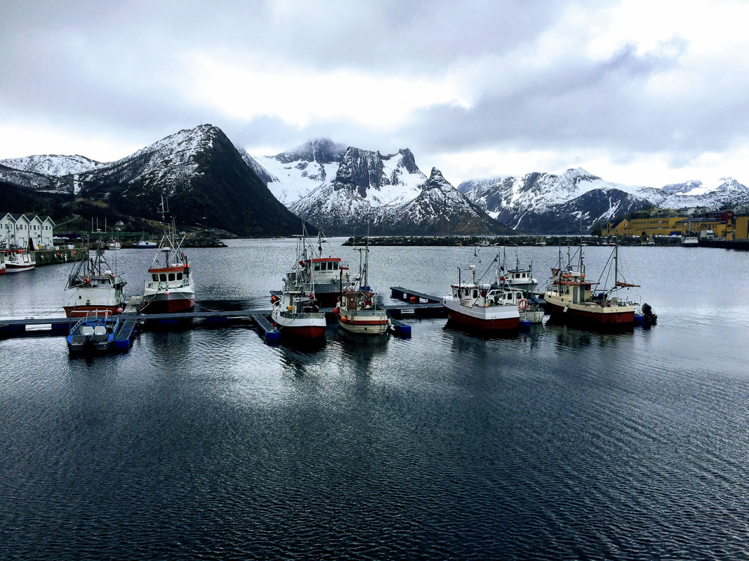
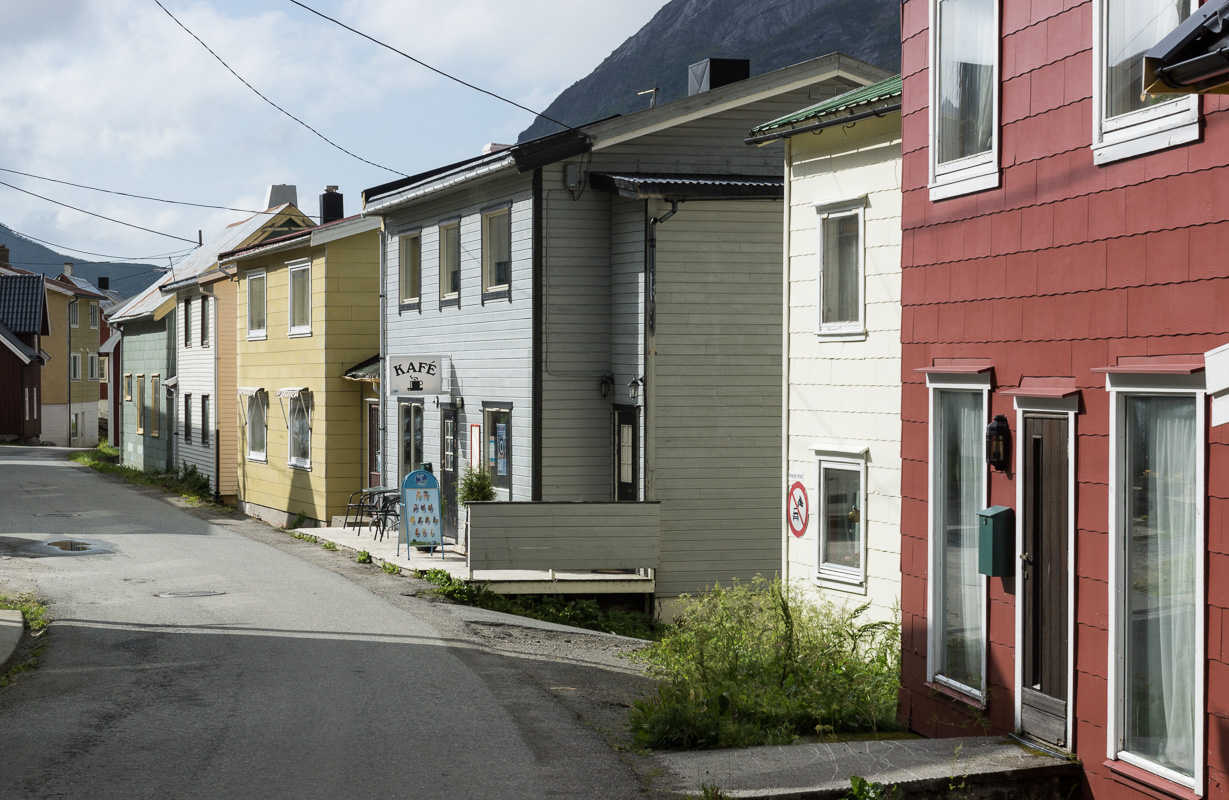
Torsken and Gryllefjord are only a few kilometres apart
These two rival coastal villages are separated by a few kilometres and a small mountain. Gryllefjord, the larger of the two, has compact, colourful houses and is reliant on the fishing industry. Torsken is much smaller, but boasts a delightful wooden church from the 1780s, with beautiful adornments dating back to medieval times. Both places have small cafes and shops.
Norwegian Scenic Route
Take the route towards the south from Tromsø, or towards the north from Andenes or the mainland. Make sure not to rush anything.
Botnhamn
Start/end of the route. Ferry connection to Brensholmen, 1 hour southwest of Tromsø
Husøy
Thriving fishing village on its own island
Mefjordvær
Picturesque, historic fishing village
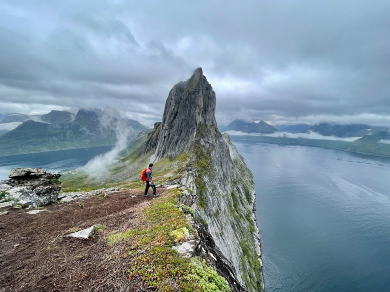
Tungeneset
Viewpoint to the Okshornan cliffs
Hamn i Senja
Scenic port with good food and hikes to nearby viewpoints
Gryllefjord
Start/end of the route. Summer ferry to the whalewatching village of Andenes in Vesterålen. Don’t miss nearby historic Torsken village.
Information about Senja
The Norwegian Scenic Route on Senja follows the outer coast of Senja Island from Gryllefjord, about midway up the west coast of the island, to Botnhamn in the Northwestern corner. It passes by villages like Skaland and Senjahopen, and scenic places like Torsken, Bøvær, Mefjordvær and Husøy are small detours.
Absolutely. The classical way of doing it, is ferrying on the summer ferry from Andenes in the Vesterålen islands, drive the scenic route to Botnhamn, then get on the ferry to Brensholmen near Tromsø. All this is part of drive along the outer most areas of Northern Norway. However, we also recommend a detour to the green southern side of Senja, seeing far fewer tourists.
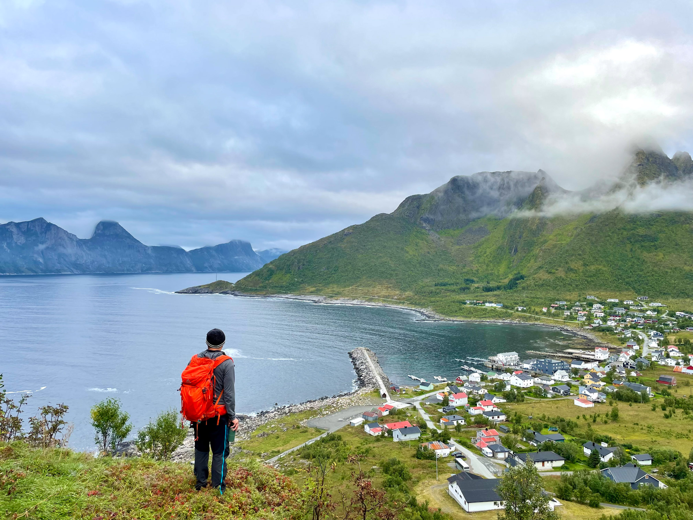
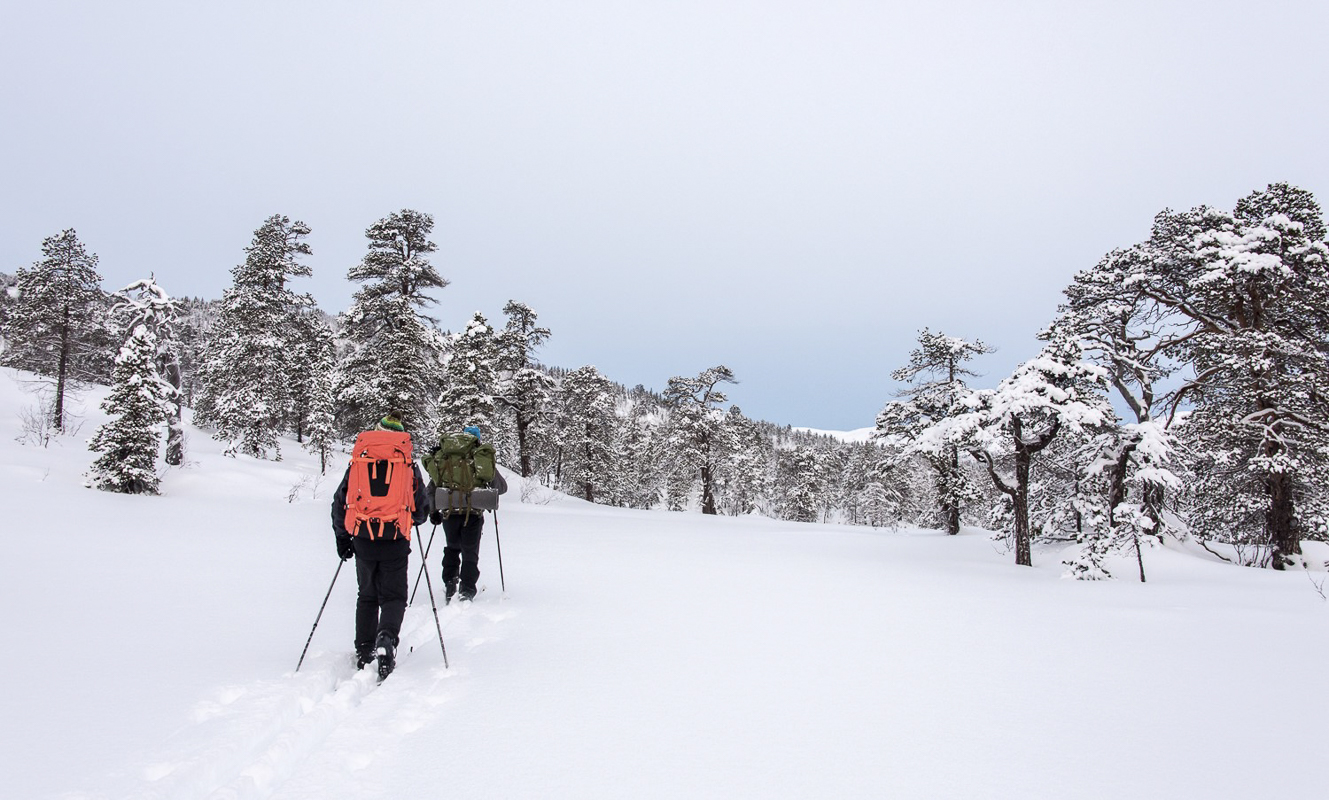
Senja is an island with only a few thousand people spread around in fishing villages and on farmland. This means nature plays first fiddle, and there are many hikes you can do. Stopping in the scenic fishing villages and go for a wander is another option, notably in Gryllefjord, Torsken, Mefjordvær and Husøy. Read our article on hiking on Senja for an overview. Visit Senja, however, has the biggest overview on their website.
There are no big hotels in Senja, instead there are small resorts, campsites, holiday villages and guesthouses. Consult the Visit Senja website for a complete overview.
Fast food chains and michelin-rated places are both absent on the island. Instead, there are small eateries in the villages. As the places are small and have limited opening hours, one should plan a little bit ahead. Check out Visit Senja’s website.
The National Scenic Route has increased in popularity, and there are more people coming here every year. However, for variation of scenery and for some off-the-beaten-track solitude, head to the little-visited Sifjord area, or go to Skrolsvik on the south-western corner along the south coast. This is all a different Senja, more forested and greener, but also with fantastic mountain views.
Yes. You can do it as a daytrip, or spend the night. Drive from Tromsø towards the fishing village of Sommarøy. From nearby Brensholmen, there is a ferry crossing to Botnhamn and the start of the route. When you have reached Gryllefjord and the end of the road, you can make a detour along the inner coast of Senja and return to Botnhamn, or drive along the mainland side for a good 2 hours from Finnsnes. All this gets so much more relaxed if you spend the night. Troms County operates the ferries, consult their website for updated info.
The roads are narrow and winding, but well marked. And there is not a lot of traffic, except maybe in July. For tips on driving, consult the website of the Norwegian Public Road Authorities – Statens Vegvesen.