Varanger is the furthest away from Norway’s capital, found at the far North East. Norway’s easternmost point is the island of Hornøya just outside Vardø, which is a about the same longitude as Saint Petersburg, Istanbul and Alexandria, and nearly all of Finland is to the west. The sun reaches its highest point a good hour before the capital, and should consequently have its own time zone.

This is a land of wide horizons
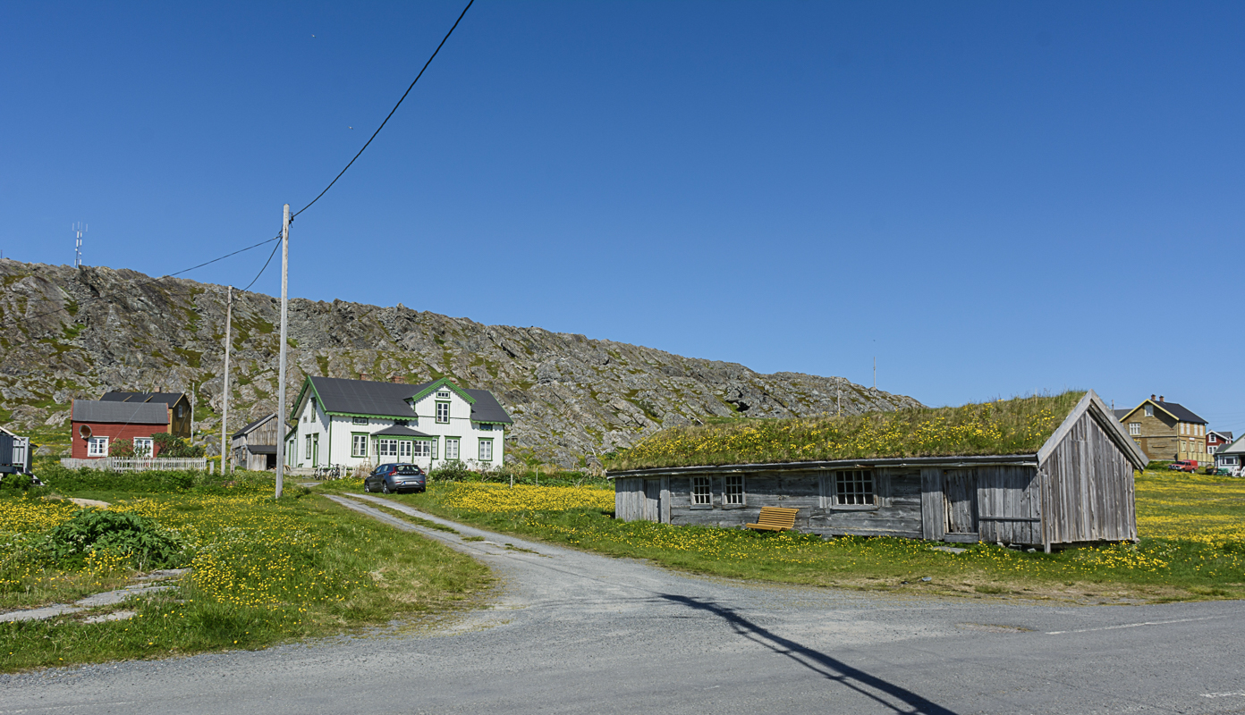
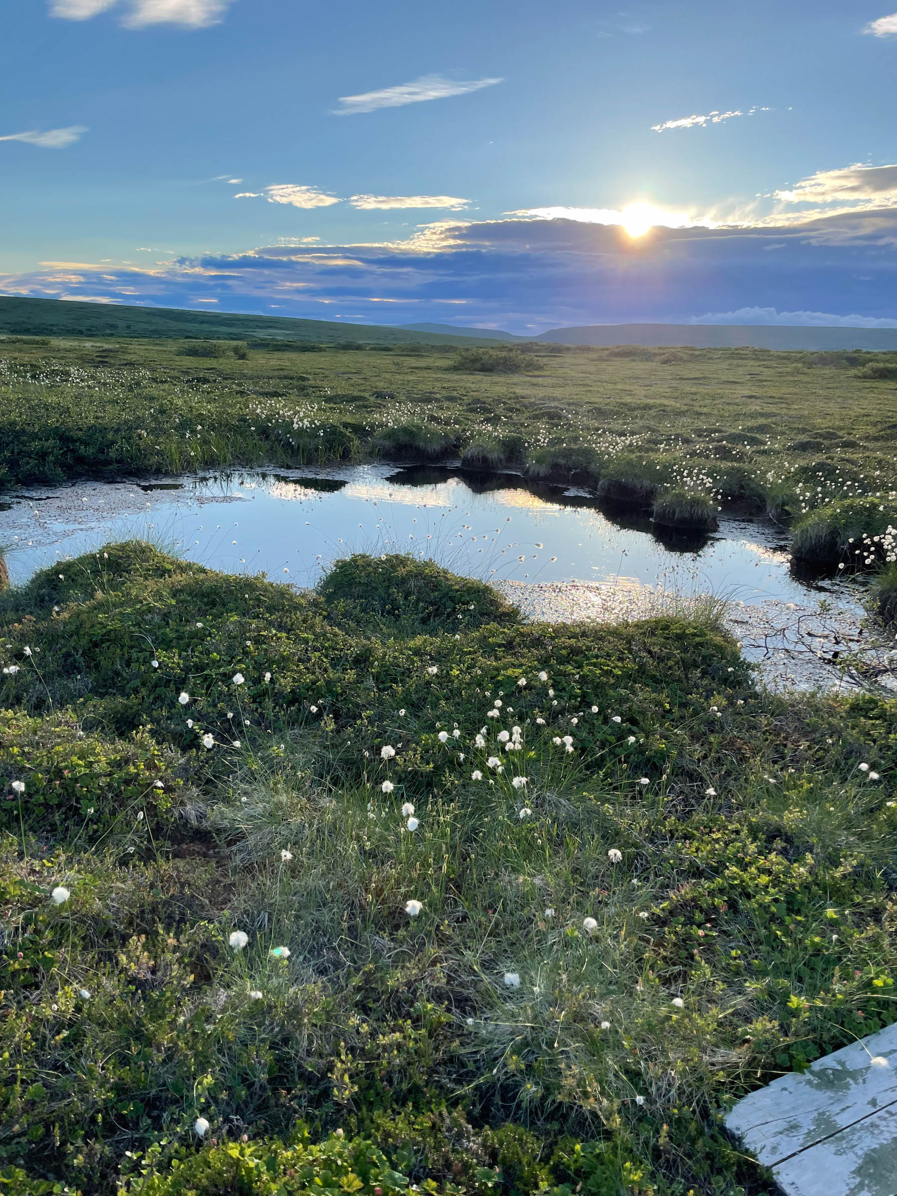
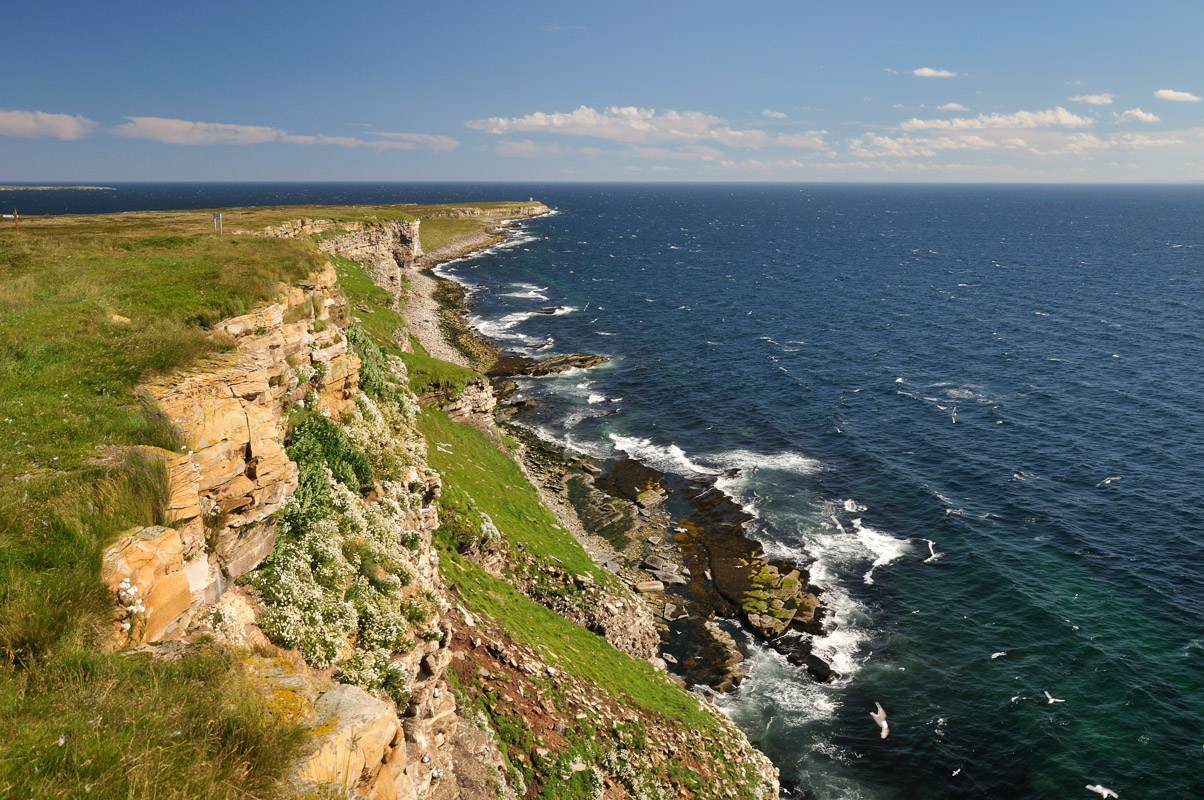
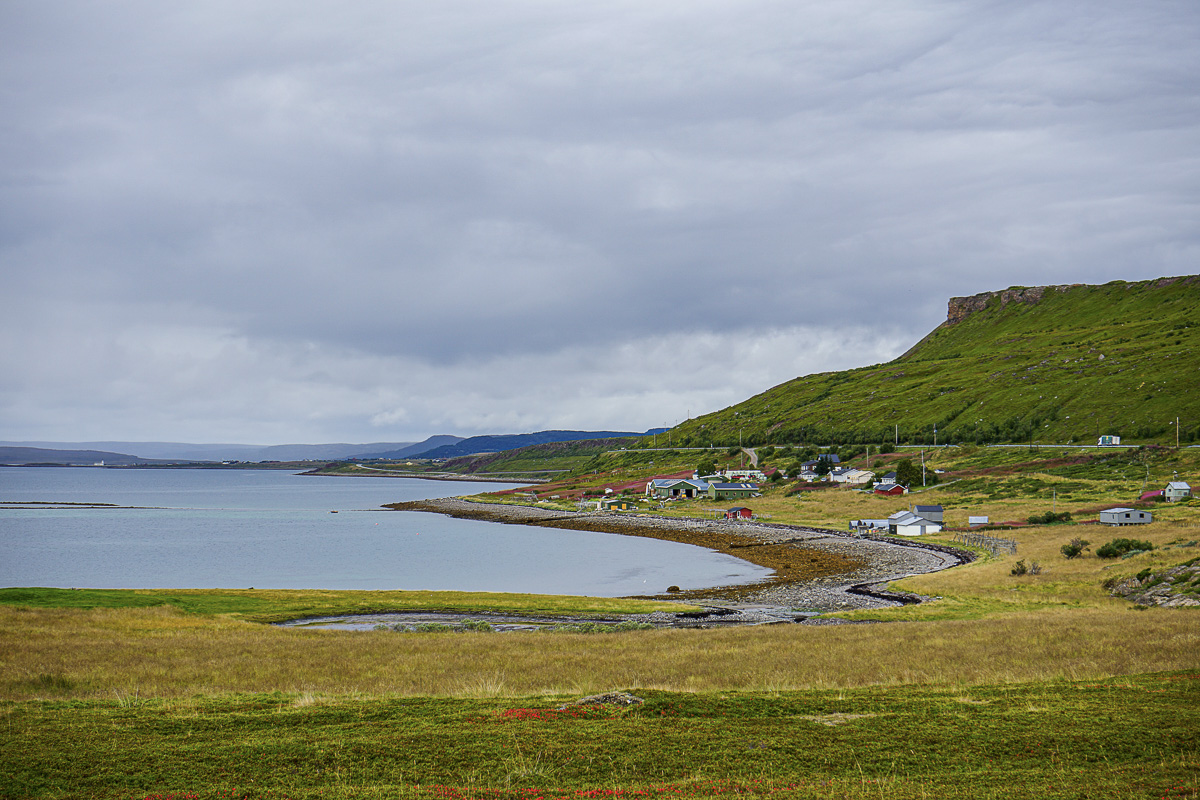
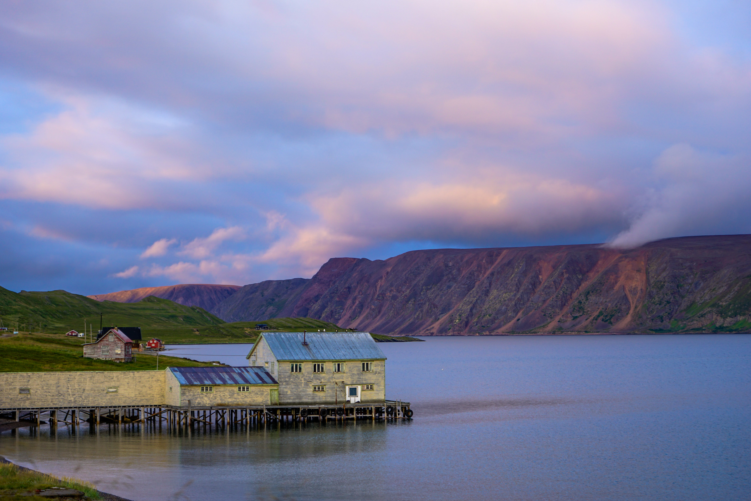
The landscape in Varanger is a very different one from the Norwegian fjord-and-mountain thing. The peninsula of Varangerhalvøya consists of rolling hills with a rocky coastline of cliffs towards the Barents sea and a lower coast of sandy and pebbly beaches towards the Varanger Fjord. Smaller sections of the Varanger Peninsula also have permafrost, the only place in mainland Norway with real tundra. Along the lower, southern coast there are forests, and along the Tana river, there a pine forests. The landscape thus has many faces.
The Sami are the oldest ethnic group in Varanger
Nobody knows what ethnic group lived at Mortensnes archeaeological site 10 000 years ago. However, the Sami iron age culture emerges around 2000-2500 years ago, and the Sami are thus the oldest exisiting ethnic group in the area. Most Sami in the area live in fishing and farming communities along the inner Varanger Fjord and the Deatnu/Tana River, and some families of reindeer herders use the wide expanses of the Varanger Peninsula as summer pastures. Vuonnamarkanat is a traditional market in Varangerbotn, where you can sample Sami food specialities.

Norwegians settled in the late middle ages
Norway established a presence with the building of the first fortress in Vardø in 1307, and in the 1400’s fishing communities were established along the coast, selling dried cod to the big cities in central Europe.
The Kven people have roots in Finland
There were always close connections with Finland too, but the epic famine in Finland in the 1860ies made people from Northern Finland settle in Varanger, where they soon learned how to fish. The people is often called Kven, a term also used for the language, which is a Northern Finnish dialect peppered with Norwegian words. In a few smaller communities along the Varanger Fjord, Kven is still spoken. Many more people are of Kven ancestry, but speak only Norwegian today. Vadsø, where the majority of the population is of Kven origin, is called the Kven capital of Norway.
Russia used to be the main trading partner
From around 1700, the Russians used to come every summer to the shores of Varanger, selling rye in exchange for dried fish. By the 19thc., merchants from the Northern Russian city of Arkhangelsk had close connections with the merchants in the cities of Vardø and Vadsø, and knowledge of Russian and French were widespread in the upper classes. Most people, however, made use of russenorsk, a pidgin language with Russian and Norwegian elements. In 1920, the border closed, only to reopen after 1989.
World War II was especially trying for the people of Varanger
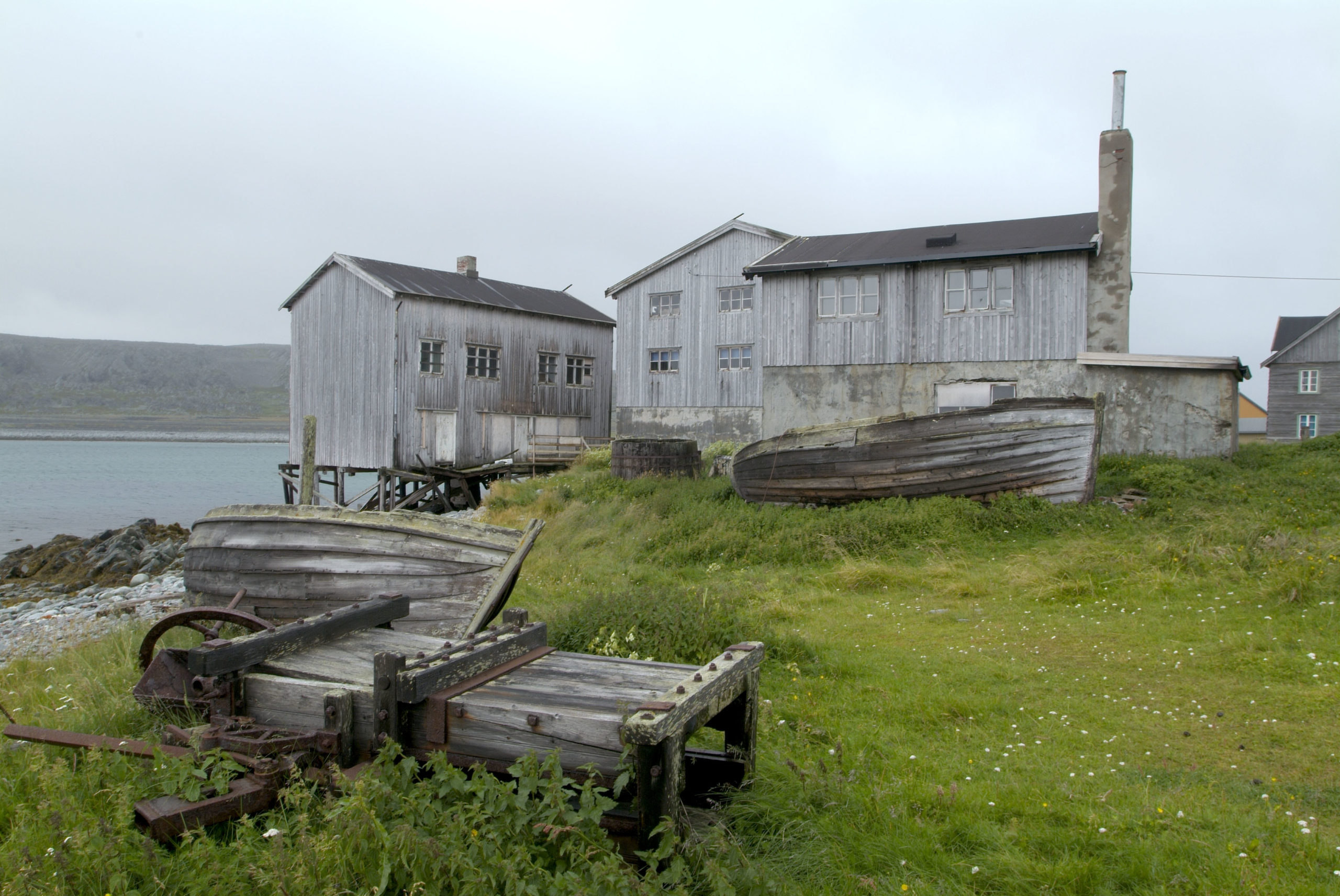
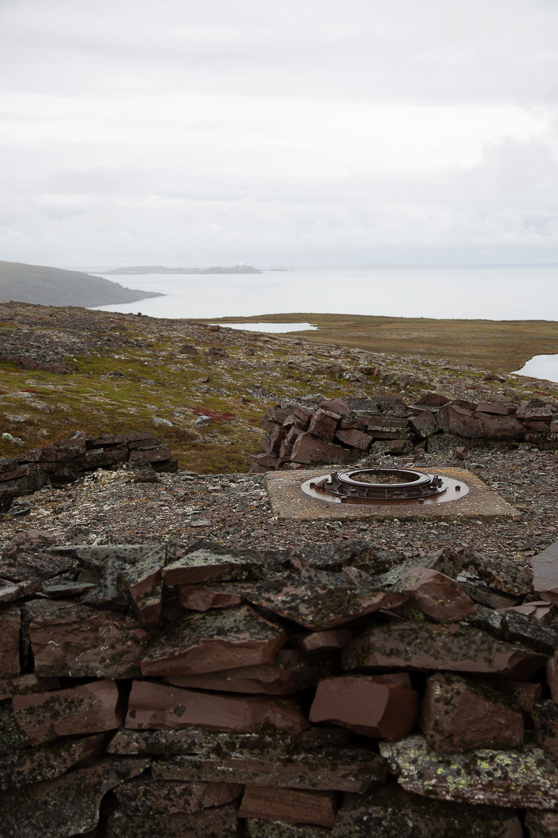
Varanger was occupied by the Germans in 1940 like the rest of Norway. However, the German attack on the Soviet Union in the spring of 1941 meant Varanger was on the frontline. Young men and women from Varanger crossed the fjord to Russia illegally, were trained by the Red Army and returned as partisans. In 1944, the towns of Vardø and Vadsø were repeatedly bombed by Soviet airplanes. In the autumn, the Germans withdrew to positions much further west. Their plan was to destroy every trace of civilisation, in order not to leave anything to the Soviets. This plan was, unlike further west, only partly carried out, because the Germans were in a hurry to leave. Varanger thus has a visible past in some locations.
After the war came the reconstruction era
The reconstruction of the destroyed communities from the late 40’ies onwards was a giant undertaking by the nation. Modern fish factories were built, houses rose up and public buildings were designed, all in the variety of modernism we call reconstruction style. However, by the 70’ies, fish stocks were reduced, and modern production methods demanded less manpower. The communities started to stagnate and lose population. Today, to
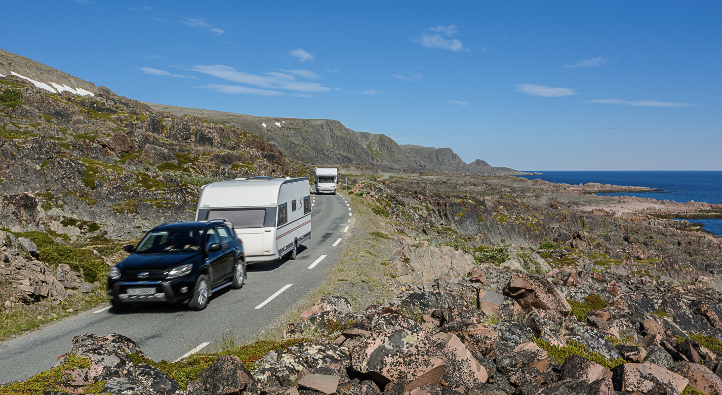
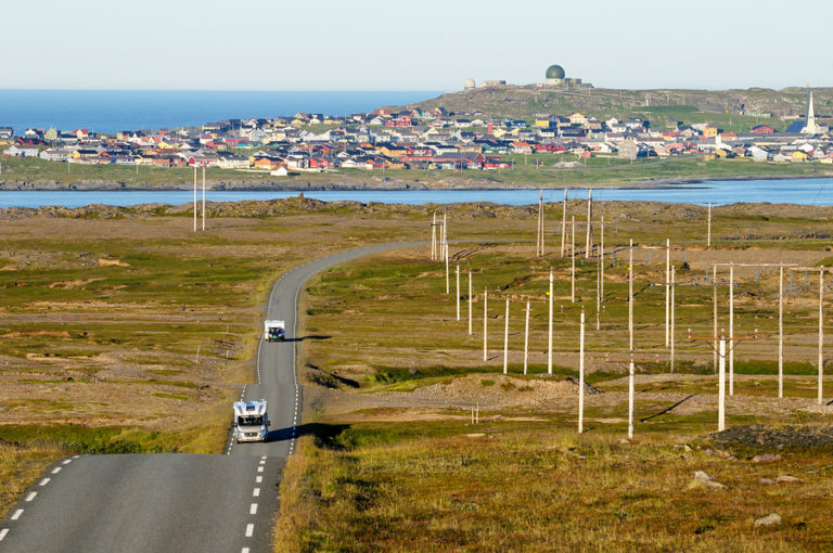
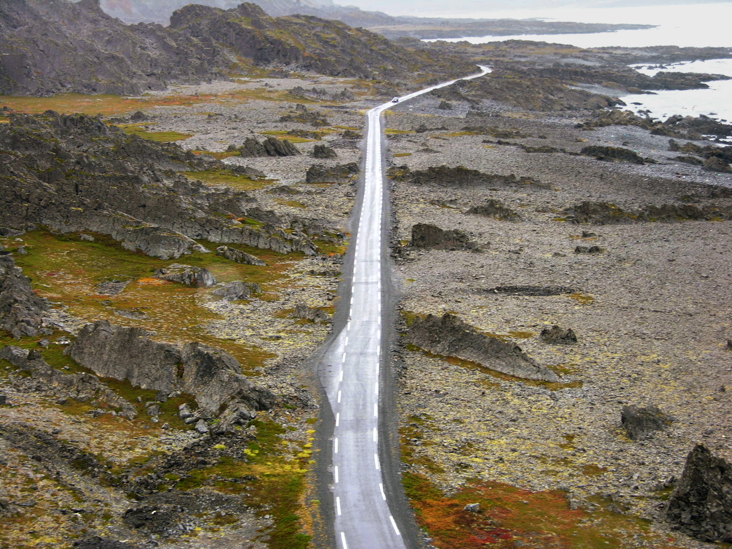
The Norwegian Scenic Route follows the east coast
Along the southern and western coast of the Peninsula, the Norwegian Scenic Route Varanger runs, connecting a string of coastal and fjord communities. A drive along this route takes you through Sami, Kven and Norwegian communities, history stretching from the 10 000 year old archaeology at Mortensnes to the more recent WWII events.
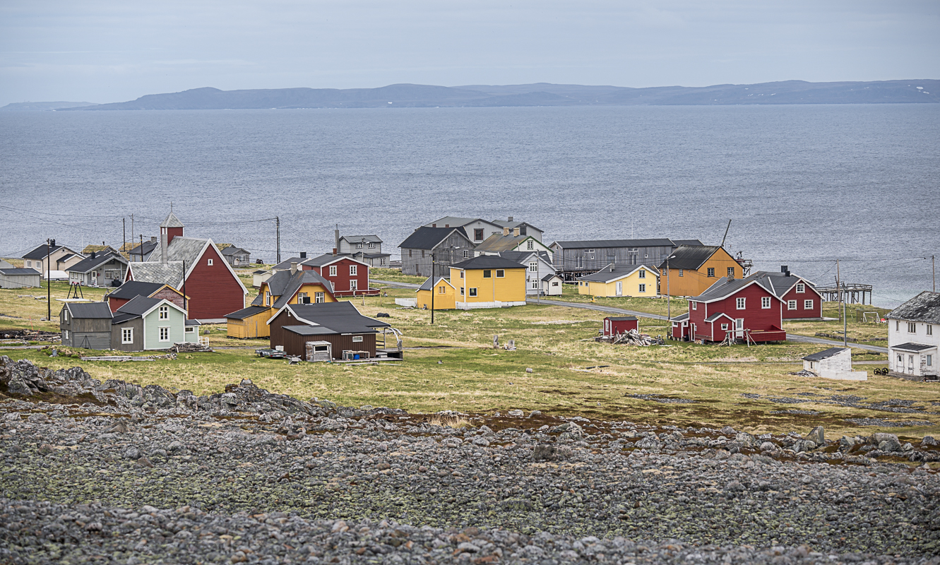
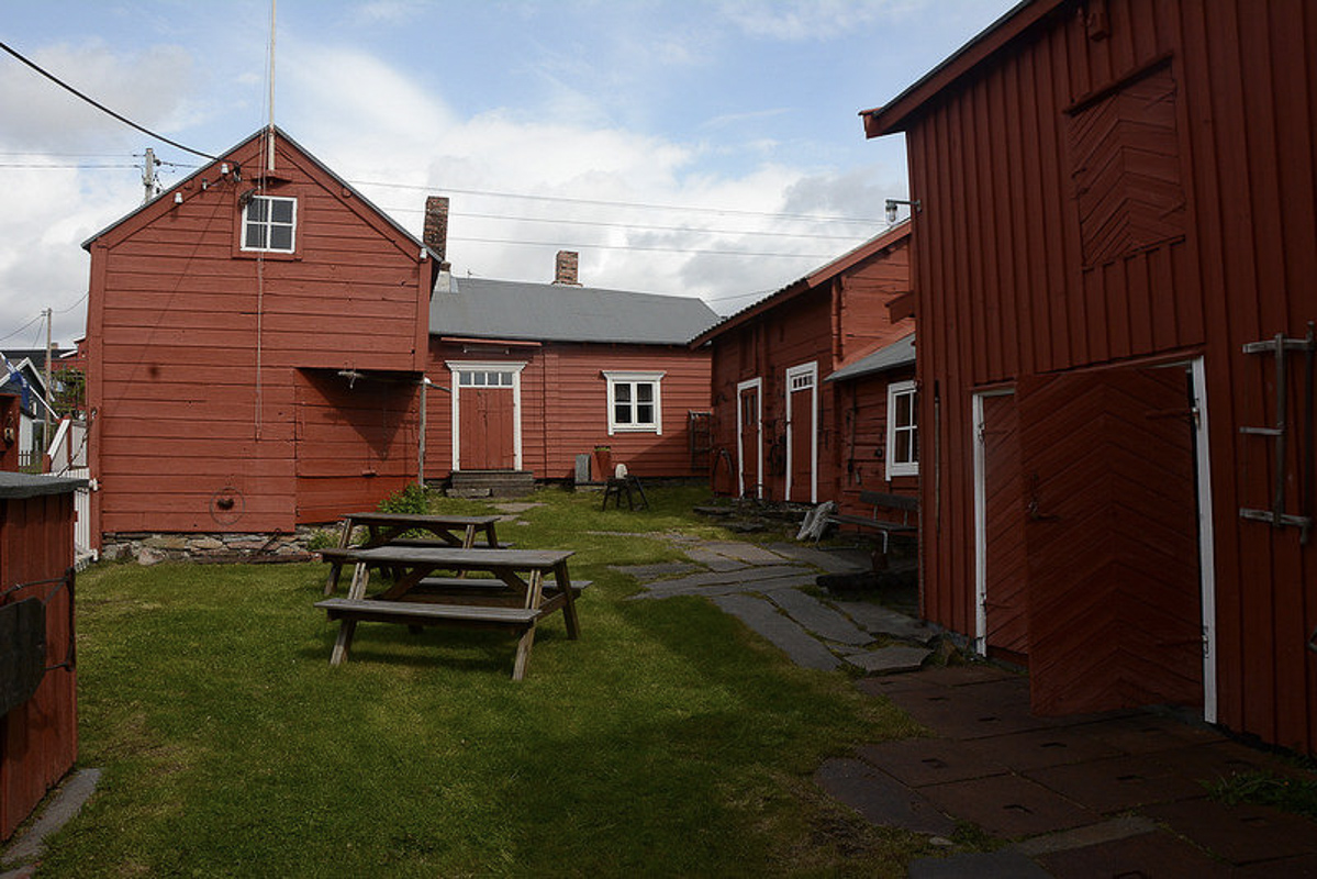
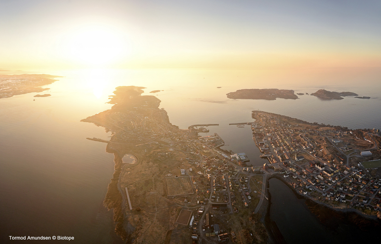
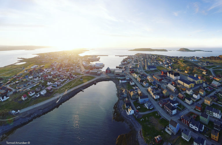
Vardø is a historic city
Vardø’s first church and fortress were, according to the sagas, founded in 1307, and for 700 years, Vardø has been Norway’s eastern outpost. The city charter was issued in 1789, the first in Northern Norway. Although bombed in 1944, there are still quite a few old houses in Vardø, and in combination with the colourful street art, the city is a photographers delight.
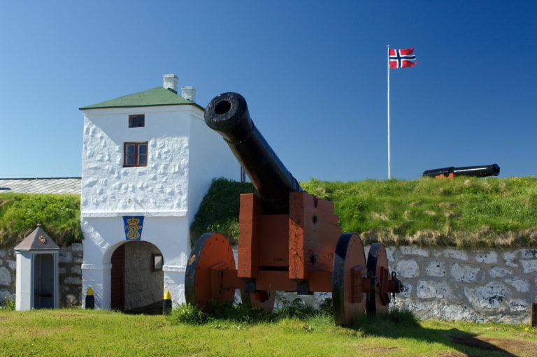
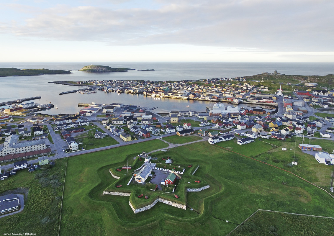
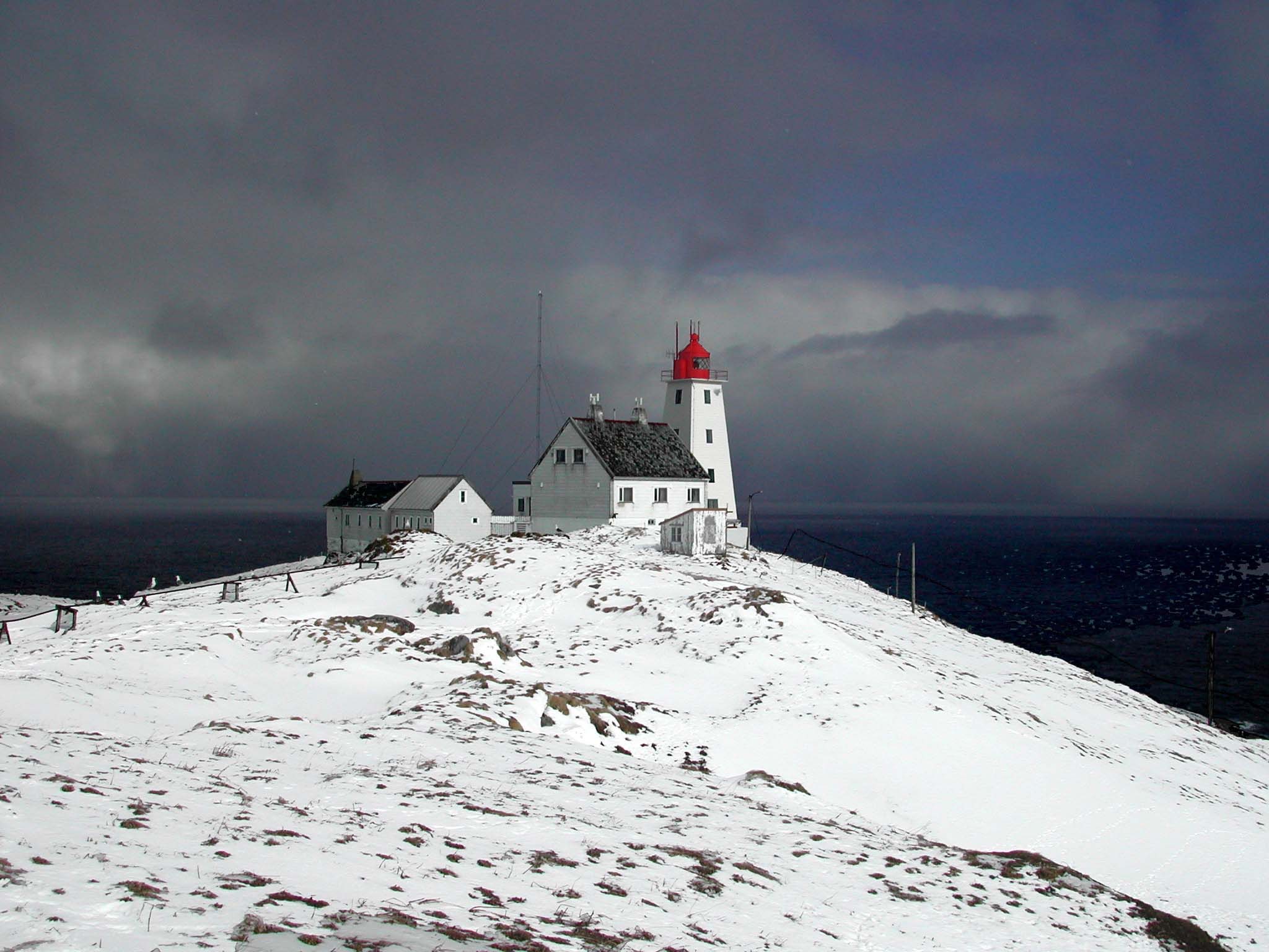
Vardøhus fortress is the world’s northernmost fortress
The Fortress of Vardøhus dates from 1734-38, and is a small, star-shaped fortress with old, wooden houses inside. From the walls, you can see across the fjord to Russia. It is the third fortress in Vardø. Nothing remains of the first fortress from 1307, but remnants of the second from the 1400s can be seen elsewhere on the Vardø island. The cannons fire a salute the first time the sun is visible in the south after the Polar Night.
The Witch Memorial tells a gruesome story
The Steilneset Memorial, popularly called the Witch memorial, is in memory of the 91 women and men burned as witches during the 17th c. witch hunt. A memorial hall gives a memorial board to every single one, and a sculpture with an eternally burning chair interprets the agony of the victims.
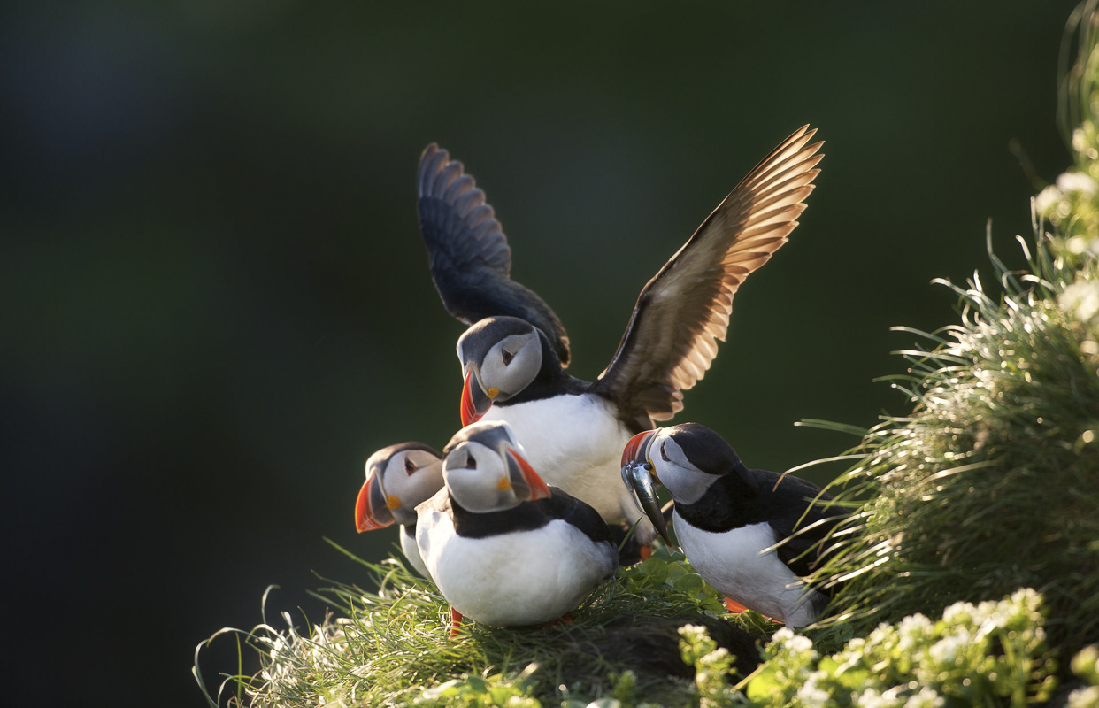
Hornøya Island is Norway’s easternmost point
The island of Hornøya, a few minutes by boat from Vardø, is the eastern end of Norway. The main attraction is the bird cliff, with tens of thousands of puffins, guillemots, razonbills, kittiwakes, shags and other seabirds. Nowhere can you get so close to the birds as here. Go for a walk around the cliff, and end up at the lighthouse.


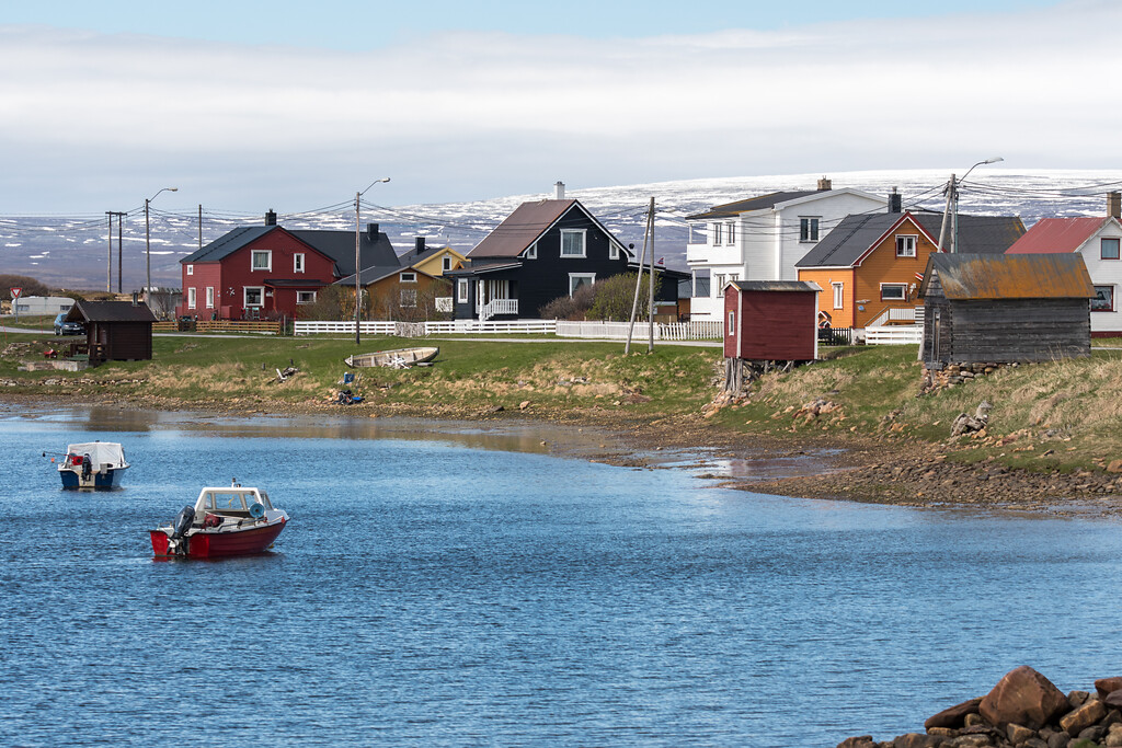
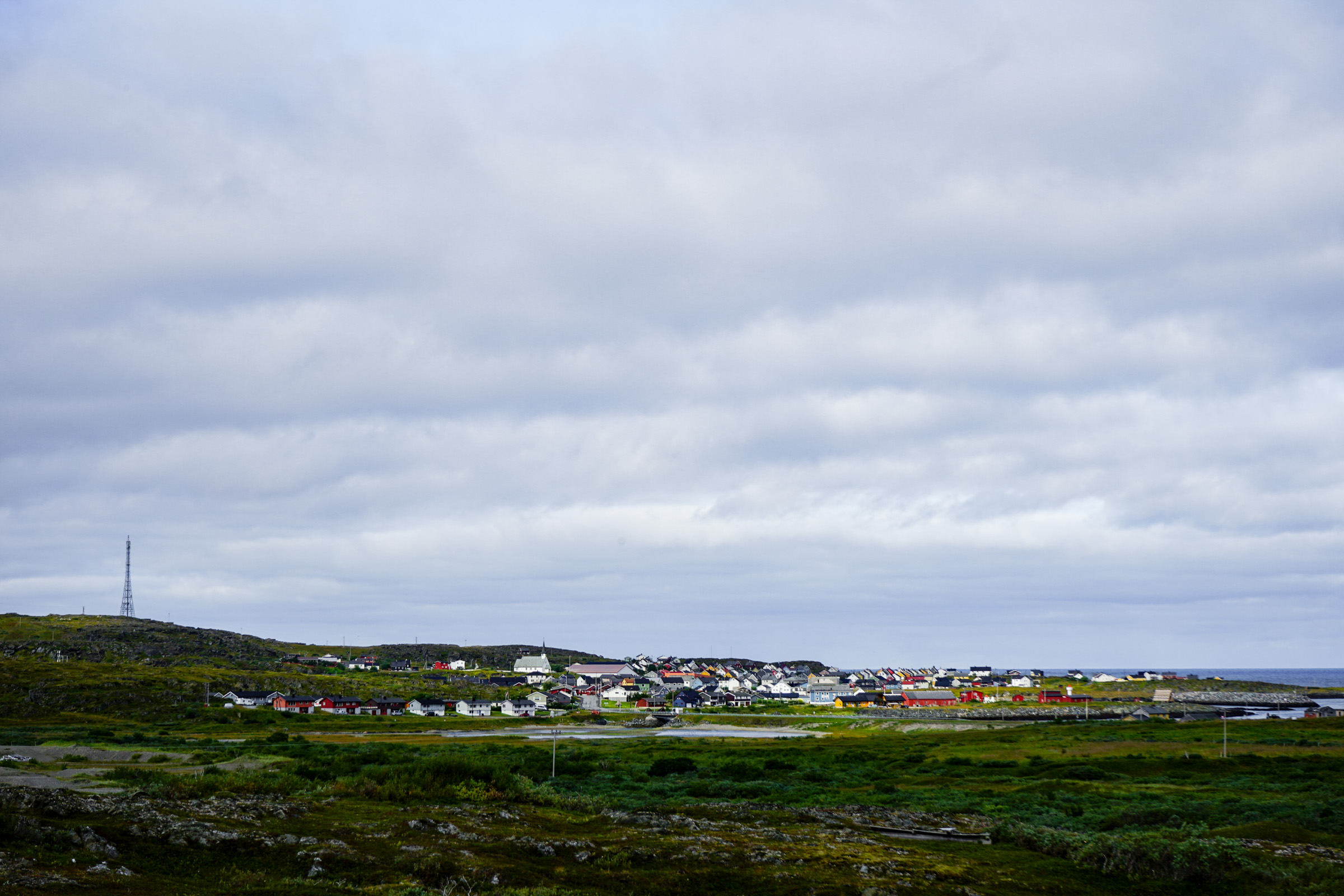
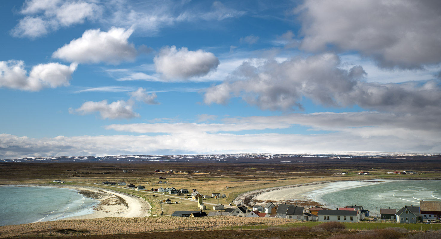
Vadsø is the kven capital
Vadsø, although issued the city charter in 1833, turned into an important centre of fish trade in the 1860ies, when the city received immigrants from famine-stricken Finland. Today, you can study traditional Finnish architecture at the well-preserved Tuomainen house, and wander through the Norwegian merchant’s residence of Espensengården. The Immigrant memorial in central Vadsø honours the multi-ethnic past of Vadsø.
The airship mast was used for North Pole Expeditions
The airship mast at Vadsø was in use in 1926, when Roald Amundsen and Umberto Nobile went with the airship “Norge” to the North Pole. The airship went up north through Finland, and Vadsø was the last stop before Svalbard and the North Pole. In 1928, the Italia expedition with Umberto Nobile

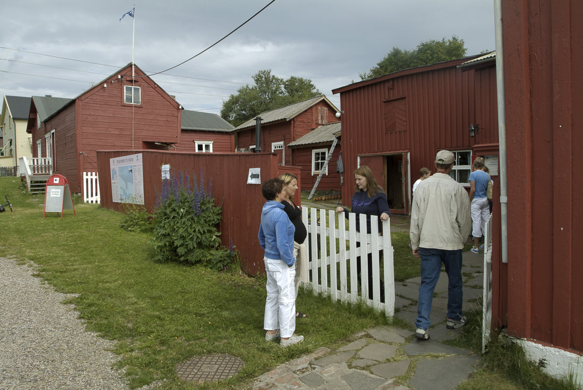
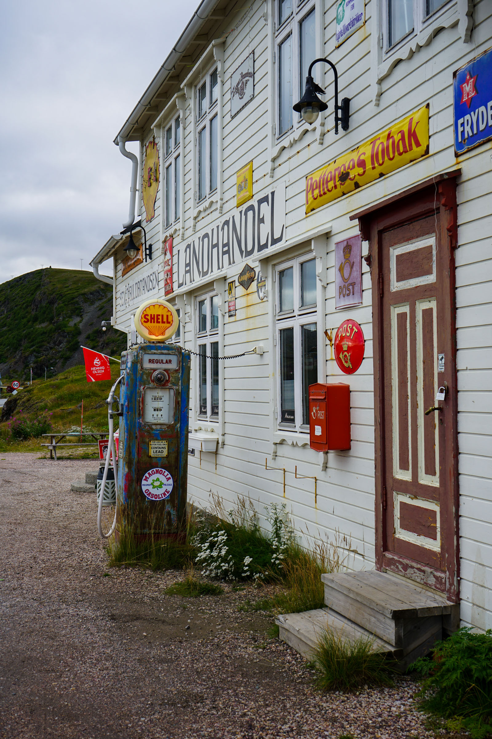
Hamningberg survived the war completely
The end of the Norwegian Scenic Route is reached by way of a particular lunar landscape along the barren, wind-swept Barents sea. Hamningberg, at the end of the road, survived WWII intact, and was abandoned around 1970. The old houses, some prefabricated in Russia and transported here, show what Finnmark looked like before the war destructions. In the summer, the original inhabitants and their descendants return to Hamningberg, and the village is brought back to life.
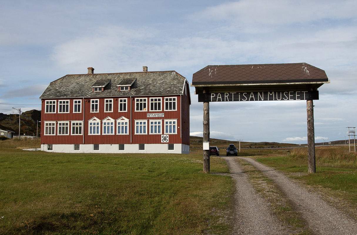
Kiberg is know for the partisans
The fishing village of Kiberg south of Vardø is a traditional fishing village with long-term links with Russia. During World War II, 45 young people from Kiberg escaped German occupation and went across the Varanger fjord to Russia. They got training, and returned to work in intelligence. 18 of them survived the war, and 17 returned to Kiberg. After the war, when the Soviet Union was the new enemy, the ex partisans were met with suspicion by the Norwegian authorities. At the inauguration of the Partisan memorial, the King apologised for the way the partisans had been treated. The Partisan Museum in Kiberg tells the whole story.
Ekkerøy is an old village
Another village along the Norwegian scenic route is Ekkerøy. Here you can also study prewar architecture, and go for walk on the peninsula and look at WWII remnants. The big attraction, however, is the birdcliff, where thousands of kittiwakes nest in the summer.
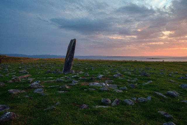
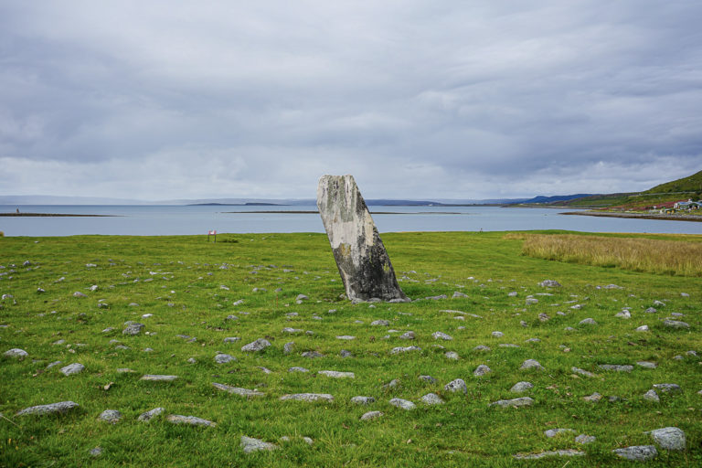
Mortensnes has been a meeting point for 10 000 years
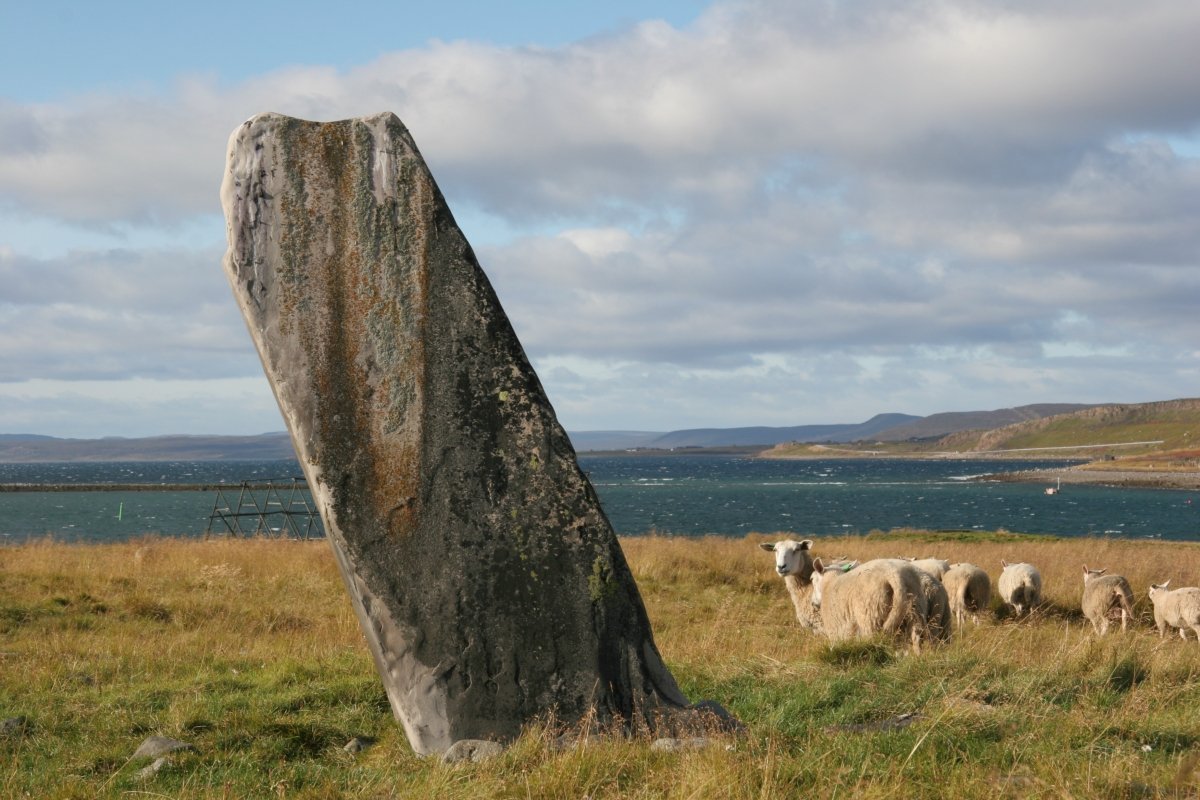
The point of Mortensnes seems to have been in continuous use by humans almost since the ice age. Here you can walk around menhirs, iron-age labyrinths, rings marking where the tents were constructed and graves, and this is one of Scandinavia’s most dense archaeological zones.
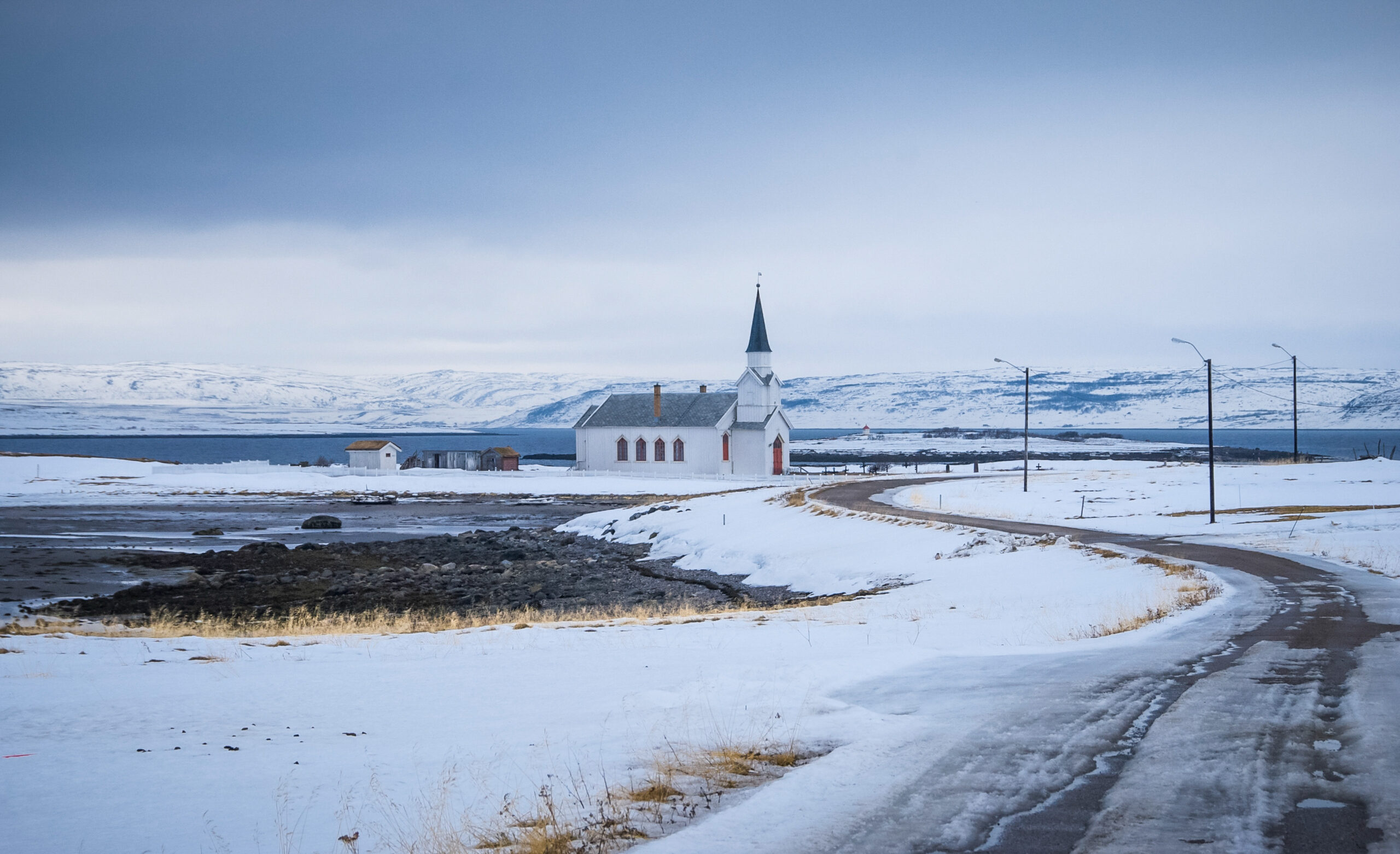
Nesseby church stands out in the landscape
In the flat landscape at the inner end of the Varanger fjord, the church of Nesseby stands out, much to the delight of photographers. Built in 1858, it survived WWII unscathed. The colourful interior is dominated by the big oven in the nave, keeping parishioners warm in winter.
Deatnu/Tana is Norway’s second longest river
Norway’s second river, the Deatnu in Sami, Tana in Norwegian and Tenojoki in Finnish, marks the Norwegian-Finnish border. The mouth of the Tana is a sandy delta with a rich birdlife, and you can see a variety of birds here even through winter. Further upriver, you can see salmon fishing going on, as the Tana is one of Europe’s best salmon rivers.
Take the detour to the villages in the northwest of Varanger
Very few tourists make it to the fishing villages in the north-west of the Varanger peninsula. That is a shame, as there is quite a lot of history, quaint villages and wild landscapes. It takes a couple of hours to drive from Tana across the hills to the villages, and then you can spend several days exploring.
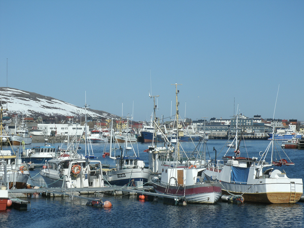
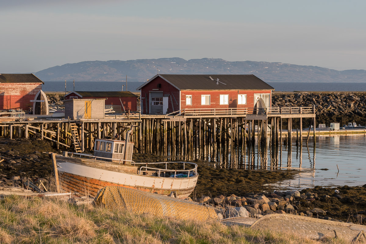
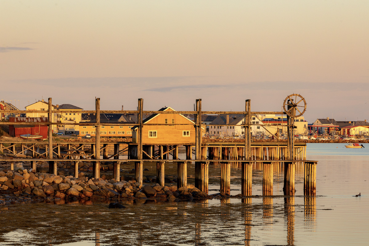
Båtsfjord is the capital of fishing
The fishing village of Båtsfjord is modern and efficient, and is hub in the economy of the area. Worth seeing is the modern church with its impressive glass mosaic, before setting off on the many marked trails in the area.
Syltefjord is the predecessor Båtsfjord
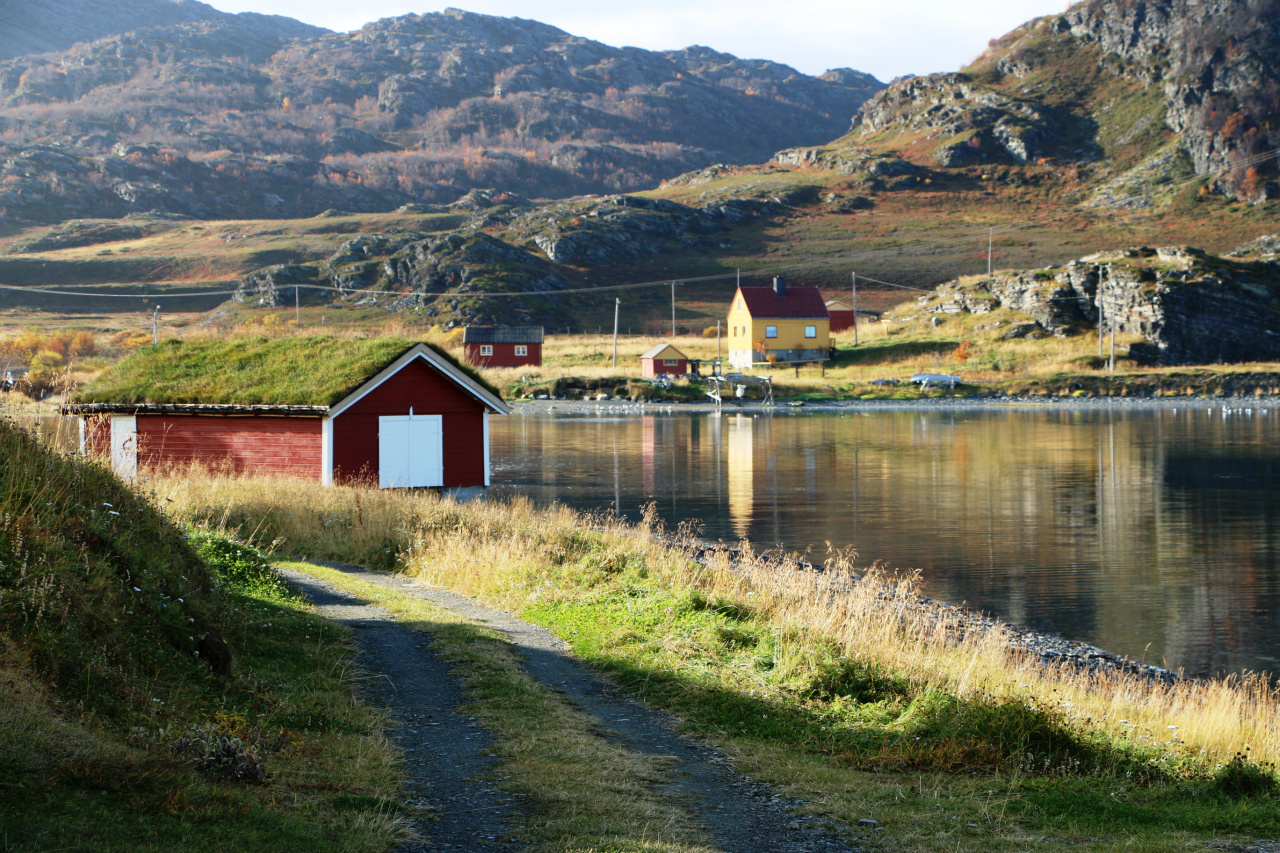
The little village of Nordfjord, or Syltefjord, has no inhabitants in winter anymore, but the old inhabitants return in summer to this colourful village with quite a few pre-war houses. In the fjord, you can see the Syltefjordstauran bird cliff that fills 2 km of cliffside, filled with kittiwakes and other species.
Kongsfjord
Another quaint village is Kongsfjord, also with old houses around a cosy shop with a coffee corner. Colourful as they are, they dot the barren landscape. From here, there are several easy walks to the WWII remnants, Sami graves and rich bird life.
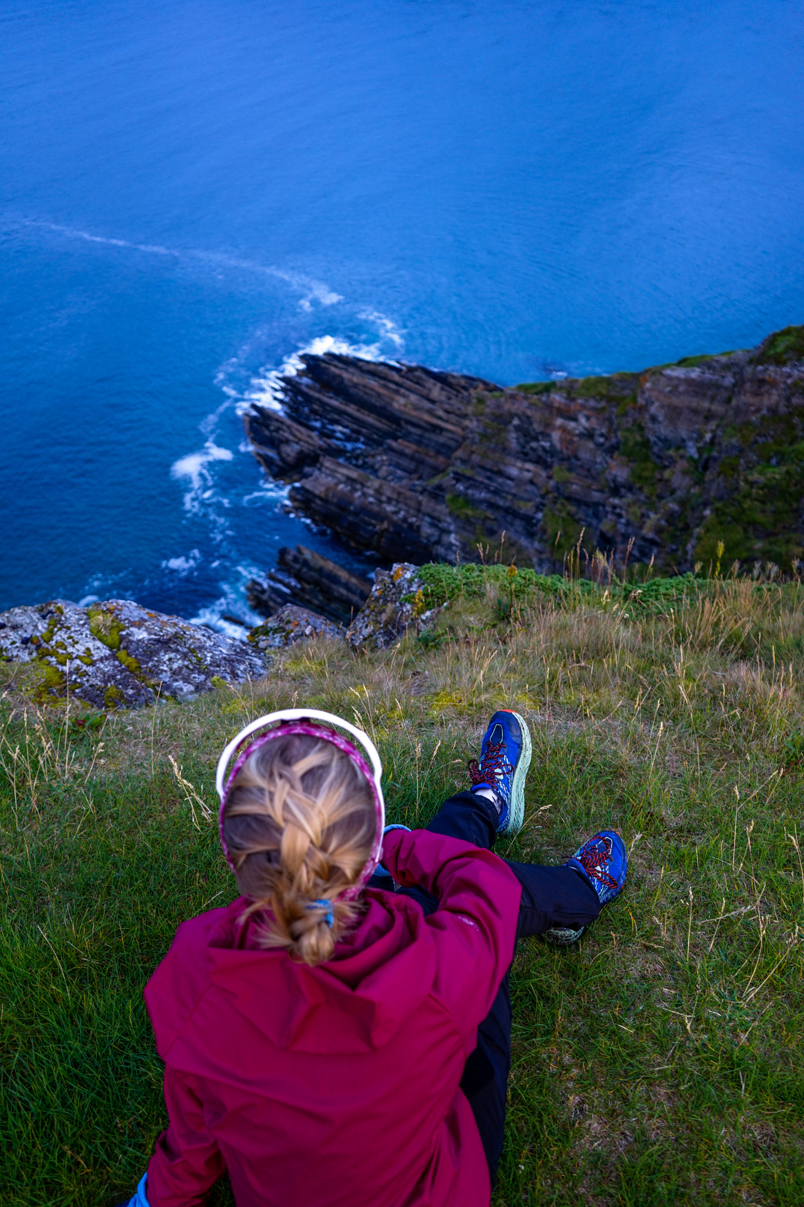
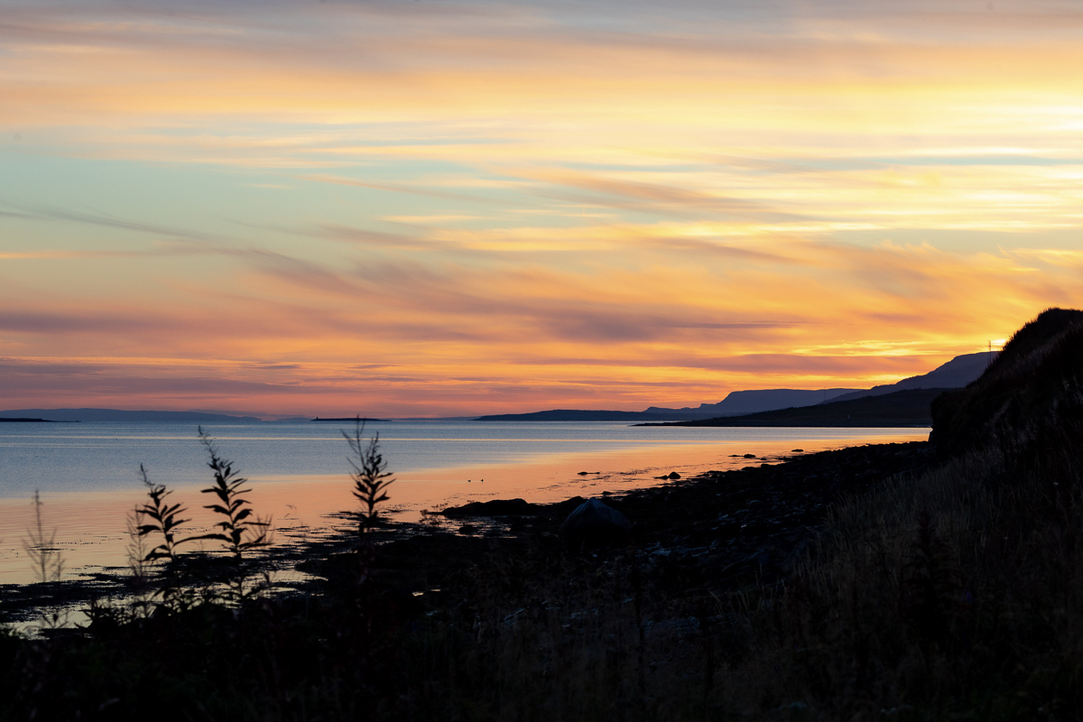
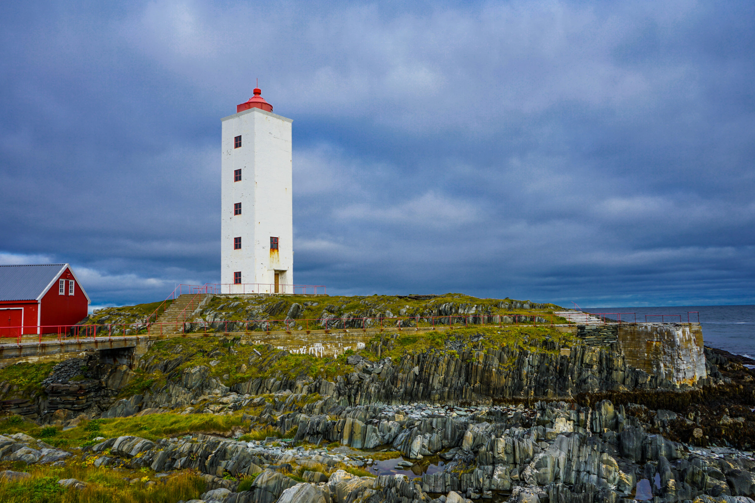
The Arctic Coast is a dramatic coastline
From Kongsfjord to Berlevåg, the coastline is dramatic, and since there is hardly any vegetation, you can study the geology up close. A stop at the lighthouse in Kjølnes offers wonderful vistas of this coast. Makkaur is another lighthouse, but
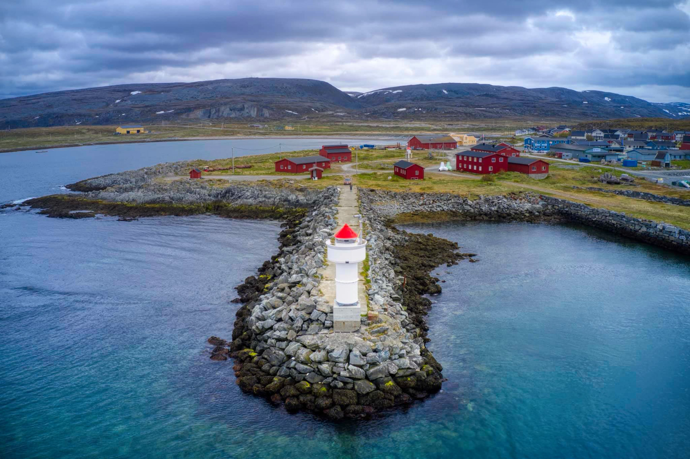
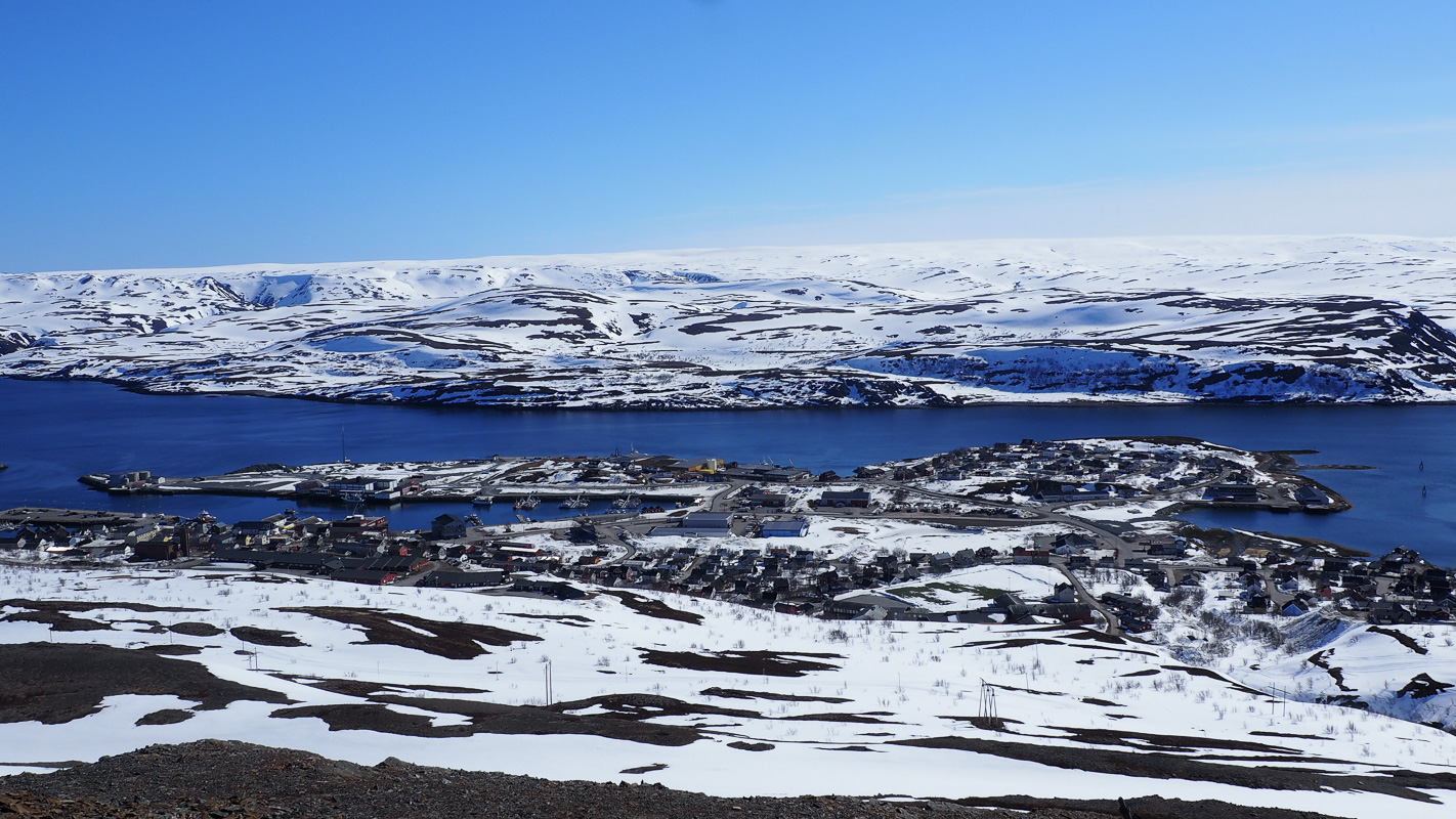
Berlevåg is sheltered behind a giant breakwater
Berlevåg is a fishing village with some 1000 inhabitants, facing the open Barents Sea. Berlevåg has lead a constant war of survival with the storms of the Barents Sea constantly smashing the boats on the shore. Several breakwaters were destroyed by storm, until today’s giant construction was built in the early seventies. Visit the Harbour Museum to learn how Berlevåg secured its existence.
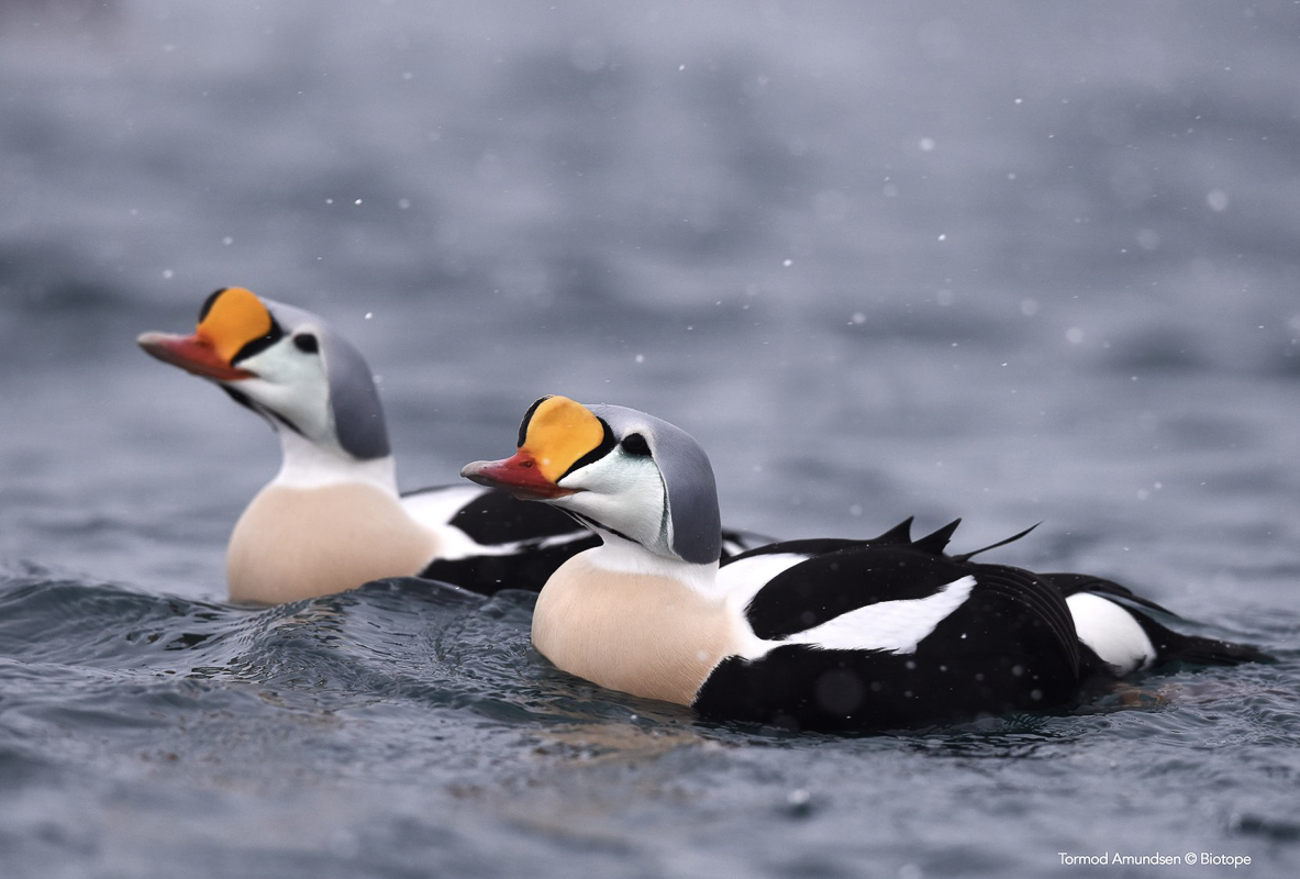

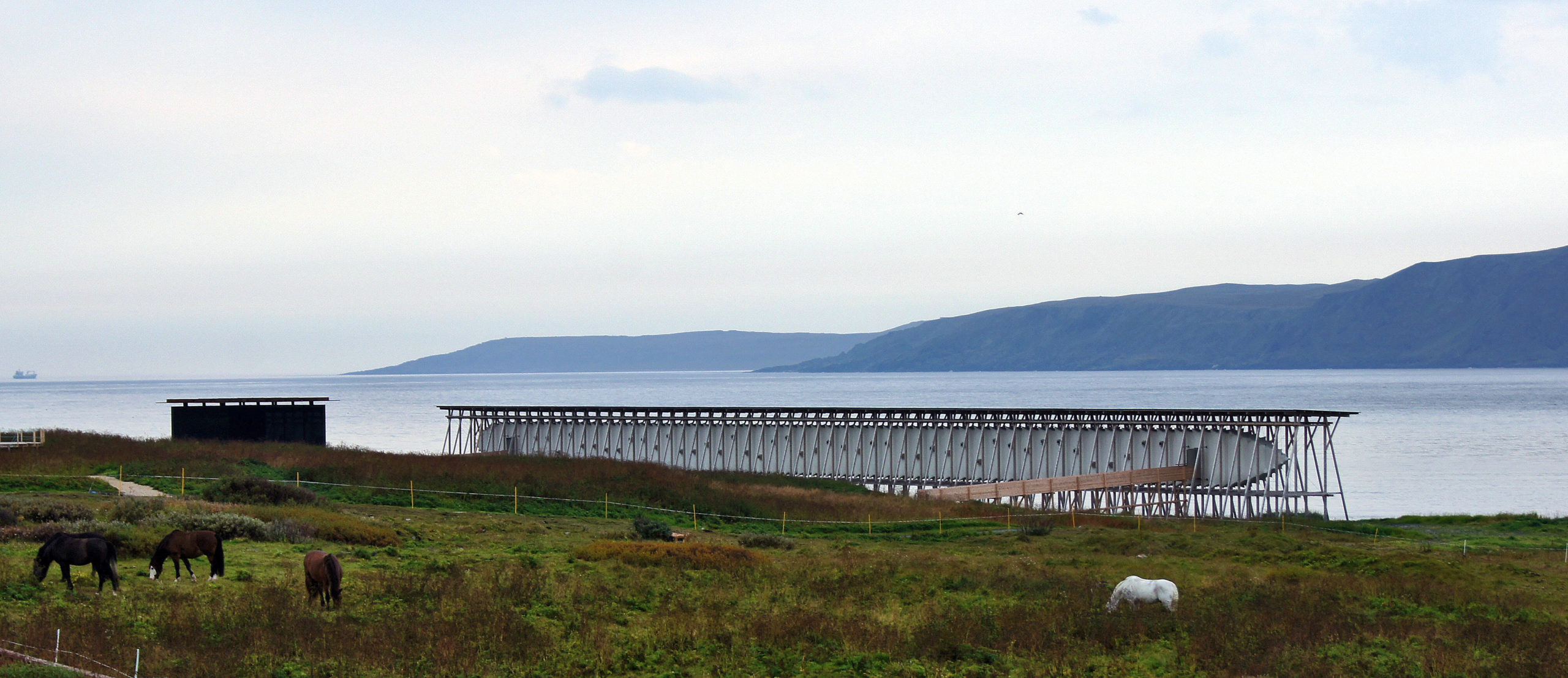
Varanger is a meeting point for birds
Varanger is one of the best locations in the world for birding. Giant seabird colonies dot the coast, Arctic ducks find Varanger a pleasant place to stay in winter, the arctic shrubland is full of smaller birds and there are many kinds of birds of prey. To observe all this, the architects at Biotope in Vardø have built shelters around the peninsula. That means you can observed the birds without them observing you, and they also give shelter against the elements.

Visit Varanger
Your guide here is visitvaranger.no.