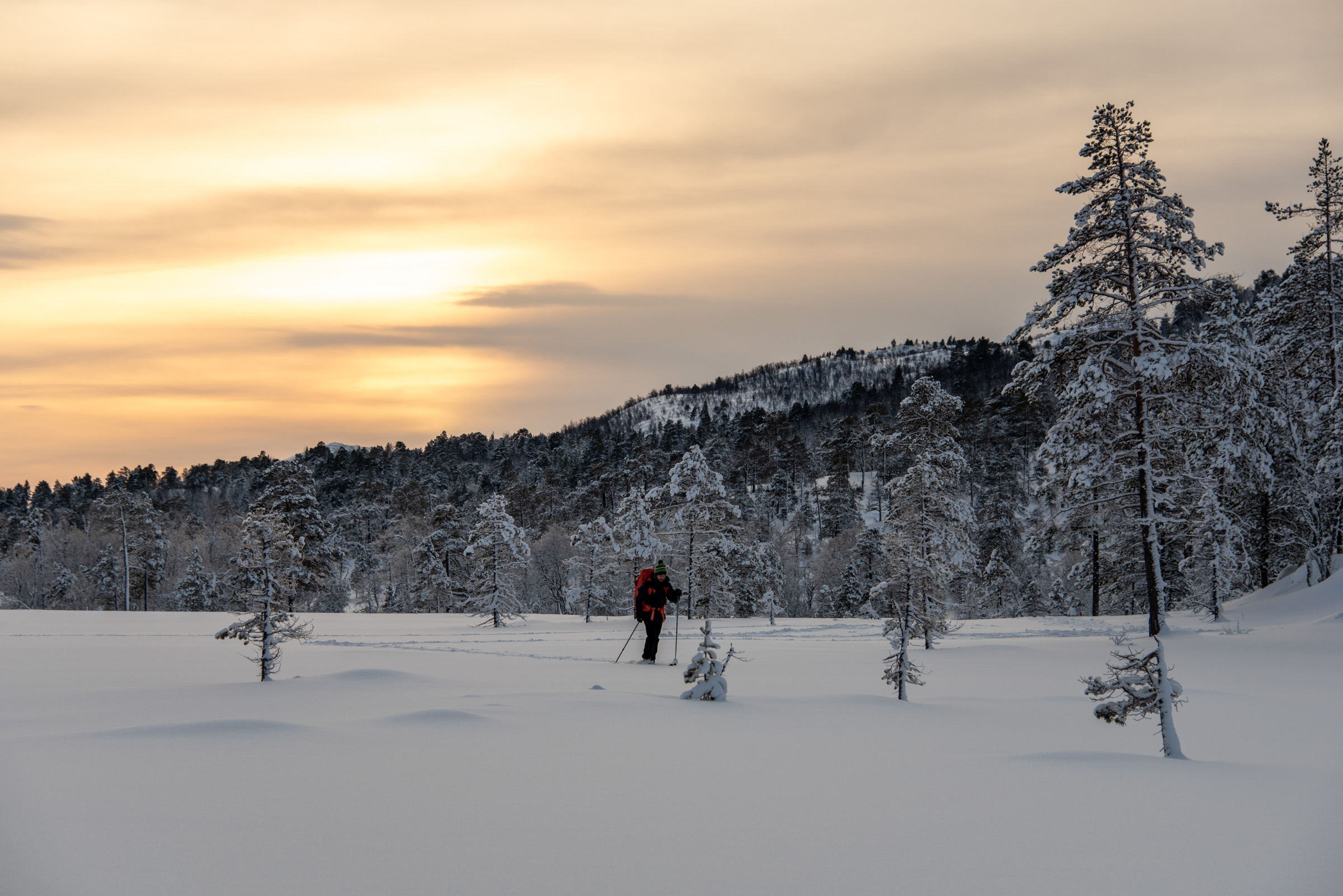
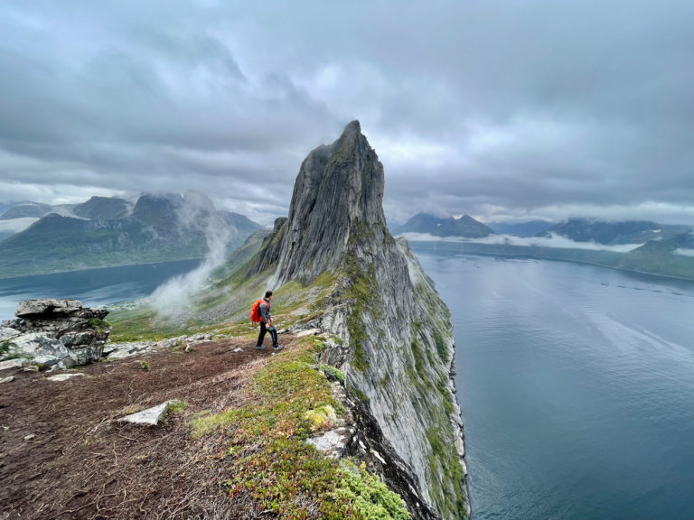
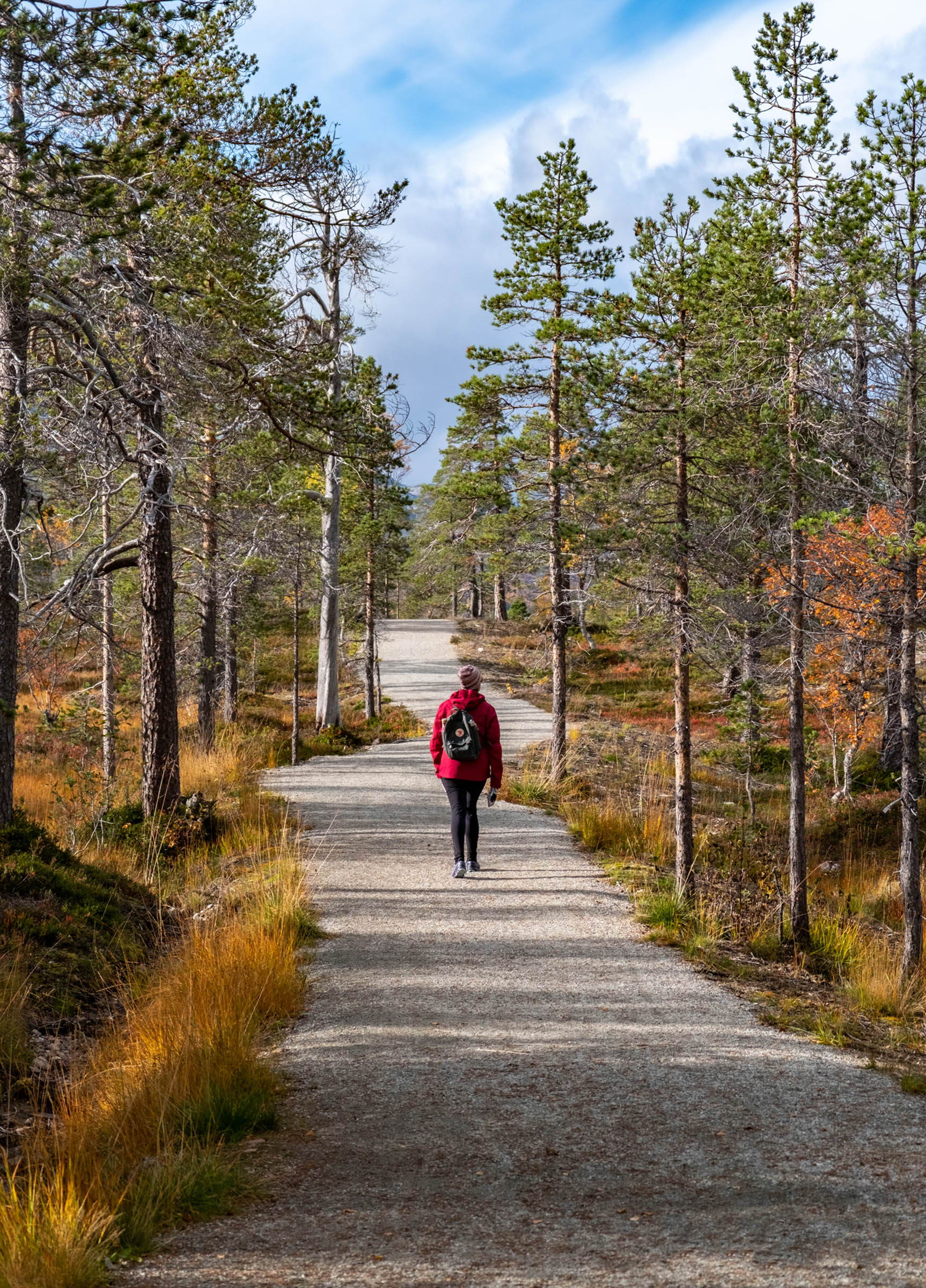
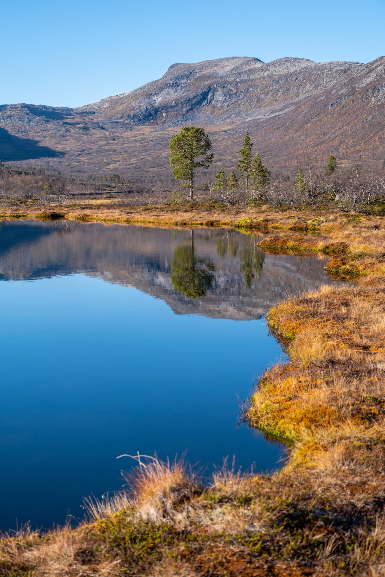
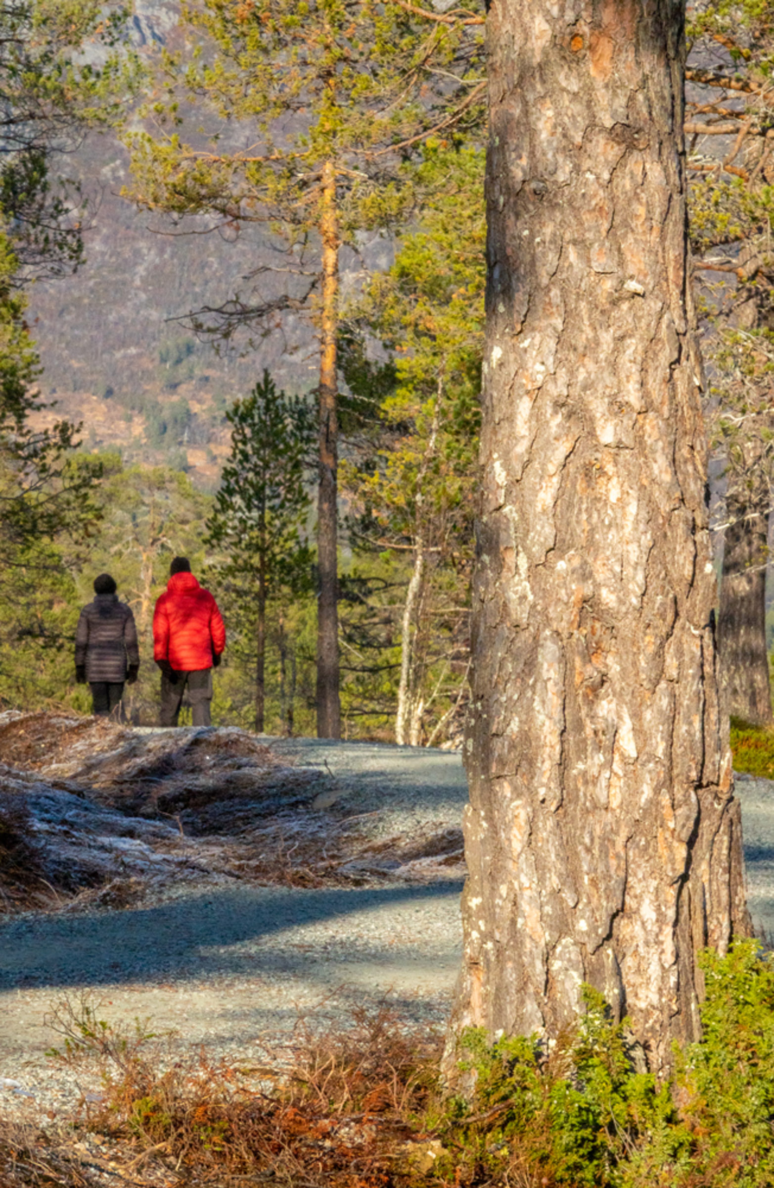
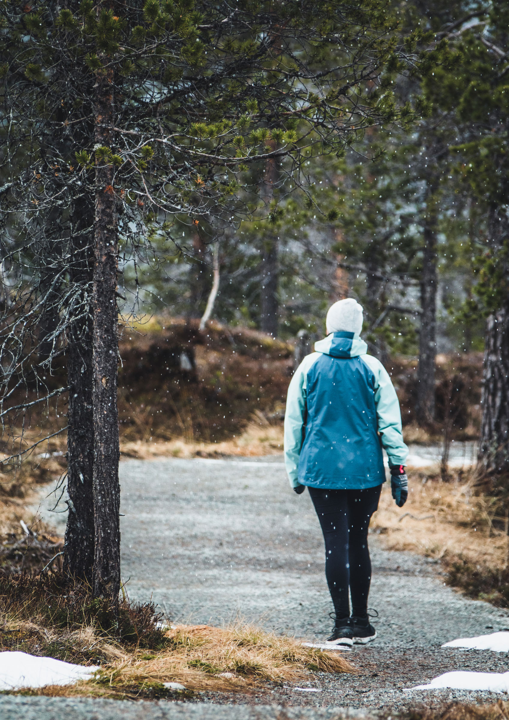
The early June day was grey, slightly chilly and fresh as I walked up the path from the parking. I was the only one on the trail. Around me, I saw a peculiar landscape of heather, rocks and scattered trees. On the right side, bogs spread out with small patches of open water. It felt open, allowing you to see far. The biggest impression, though, the pines made. Twisted and gnarled into strange shapes, or standing upright in dense groves, they catch your eye again and again.
The entrance to the park is for everyone
From the parking to the border of the national park, there is a well-constructed path which can be used even by wheelchair users. Albeit outside the park, the area forms part of the same forest landscape. When you reach the border after about 2,5 kilometres, you can stop at a rest area with fire pits and benches, along with a toilet. The installations are coloured in 50 shades of grey, blending in with the pine trunks in the valley. Directional signs give you a choice of routes.


Then you head up to the viewpoint
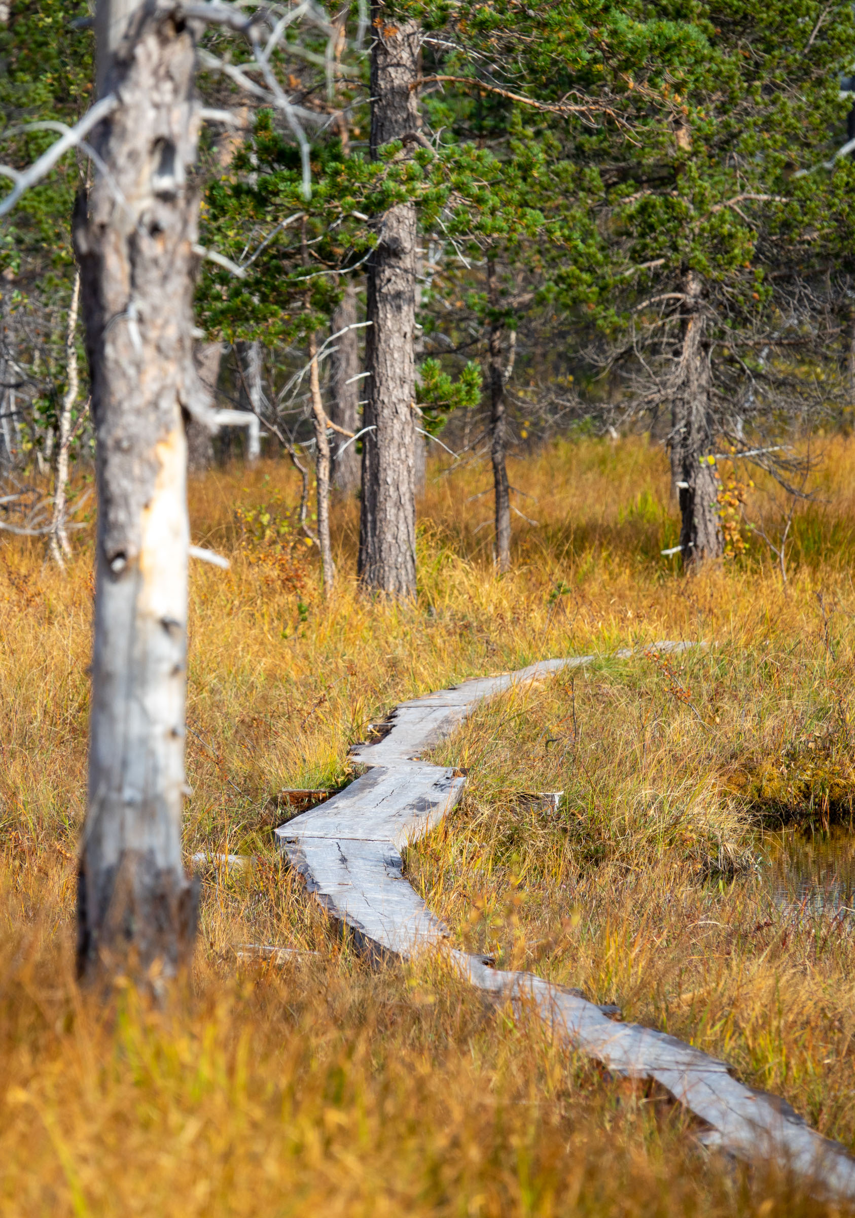
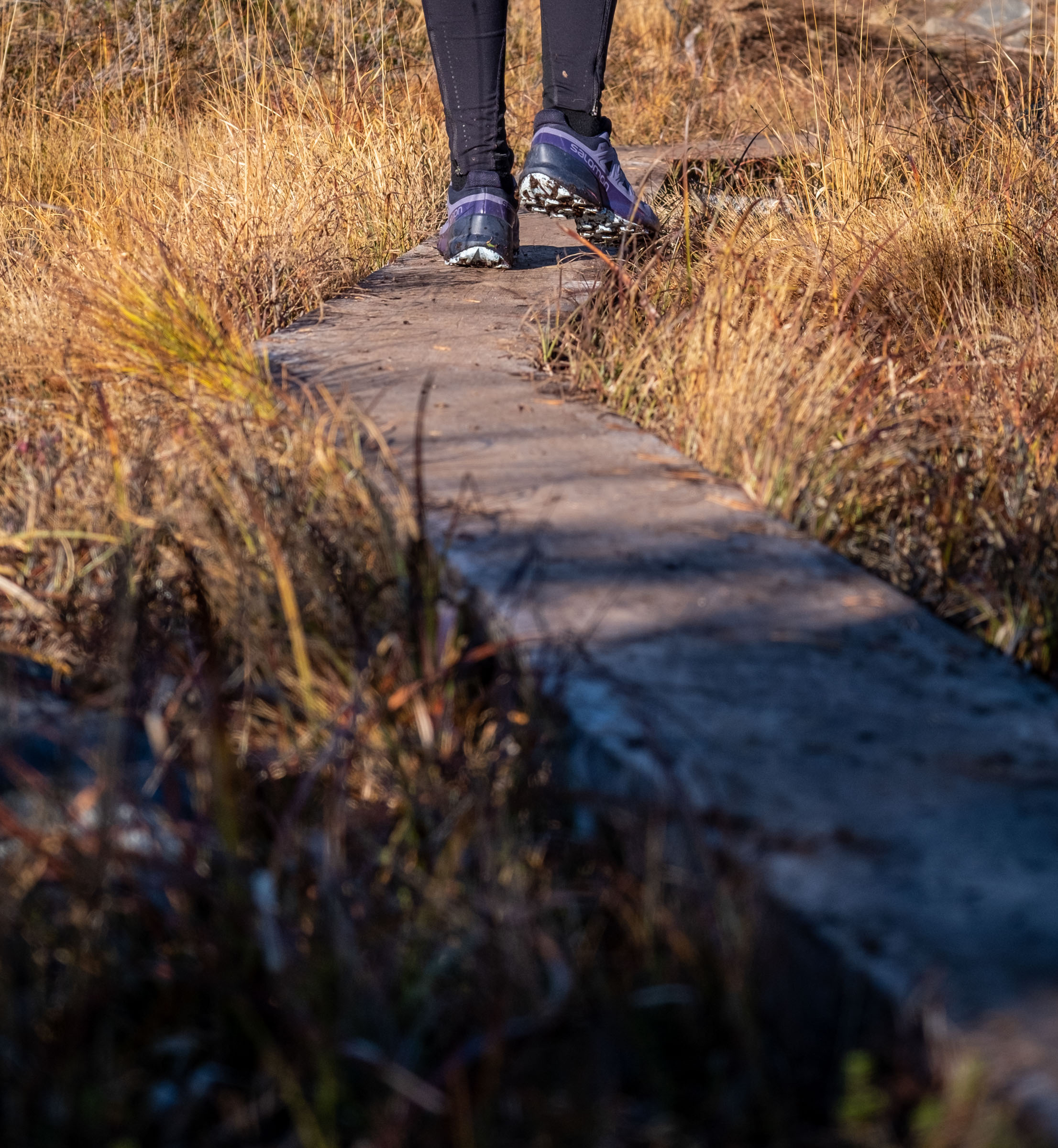
With limited time, I chose to turn left to the viewpoint. The easy walkway gave way to a regular forest path, but wood chips and coconut mats were laid out along much of distance to keep it all dry. It also protects the landscape from erosion caused by too many footsteps. The trail went upward and wound its way around the pine trunks, across wet areas and past rocks and boulders. I had to slow my speed.
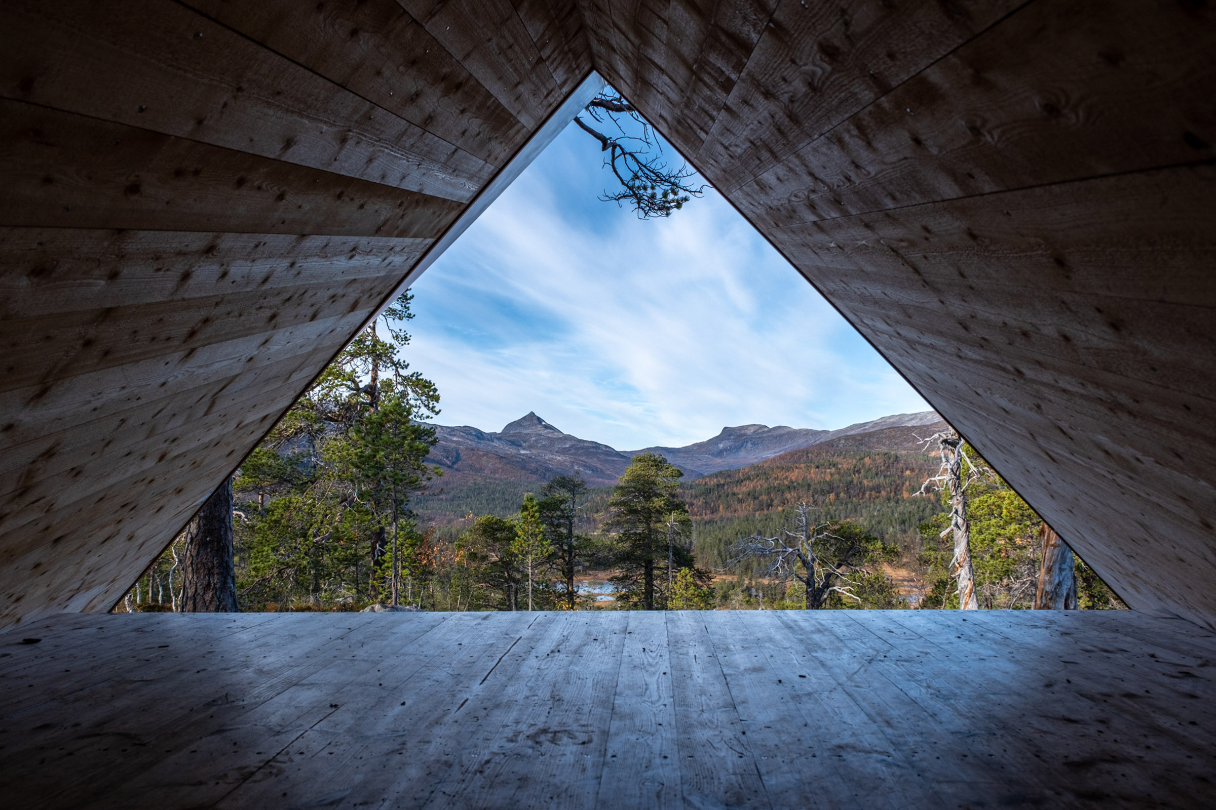
Get a triangular view of the park
There it appeared, the gapahuk – the shelter at the viewpoint. This one is architecturally designed and gives you the chance to lie down and see the park from a triangular opening. I of course did and photographed my hiking boots and the triangular opening towards the landscape. The whole thing is fun, relaxing and with great views. Below me, a wide valley opened. Beyond the nearest pines, little lakes and bogs were grey in the overcast day. And at the far end, pyramidal mountains with dots of snow loomed over the valley. It was both endlessly beautiful and strangely calming to the mind.
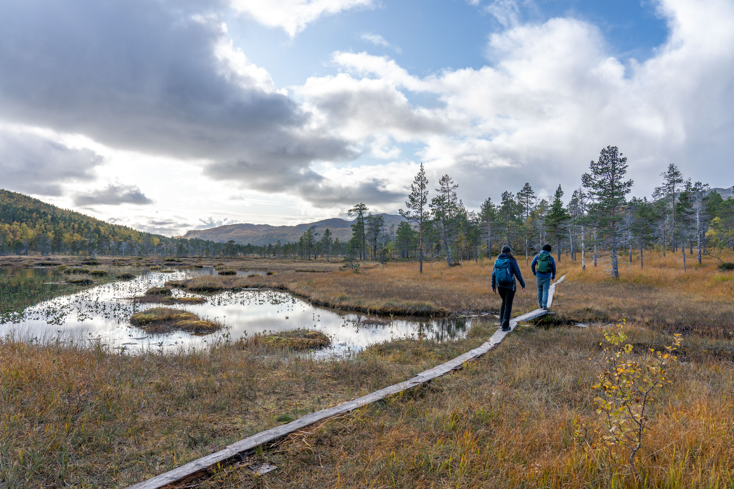
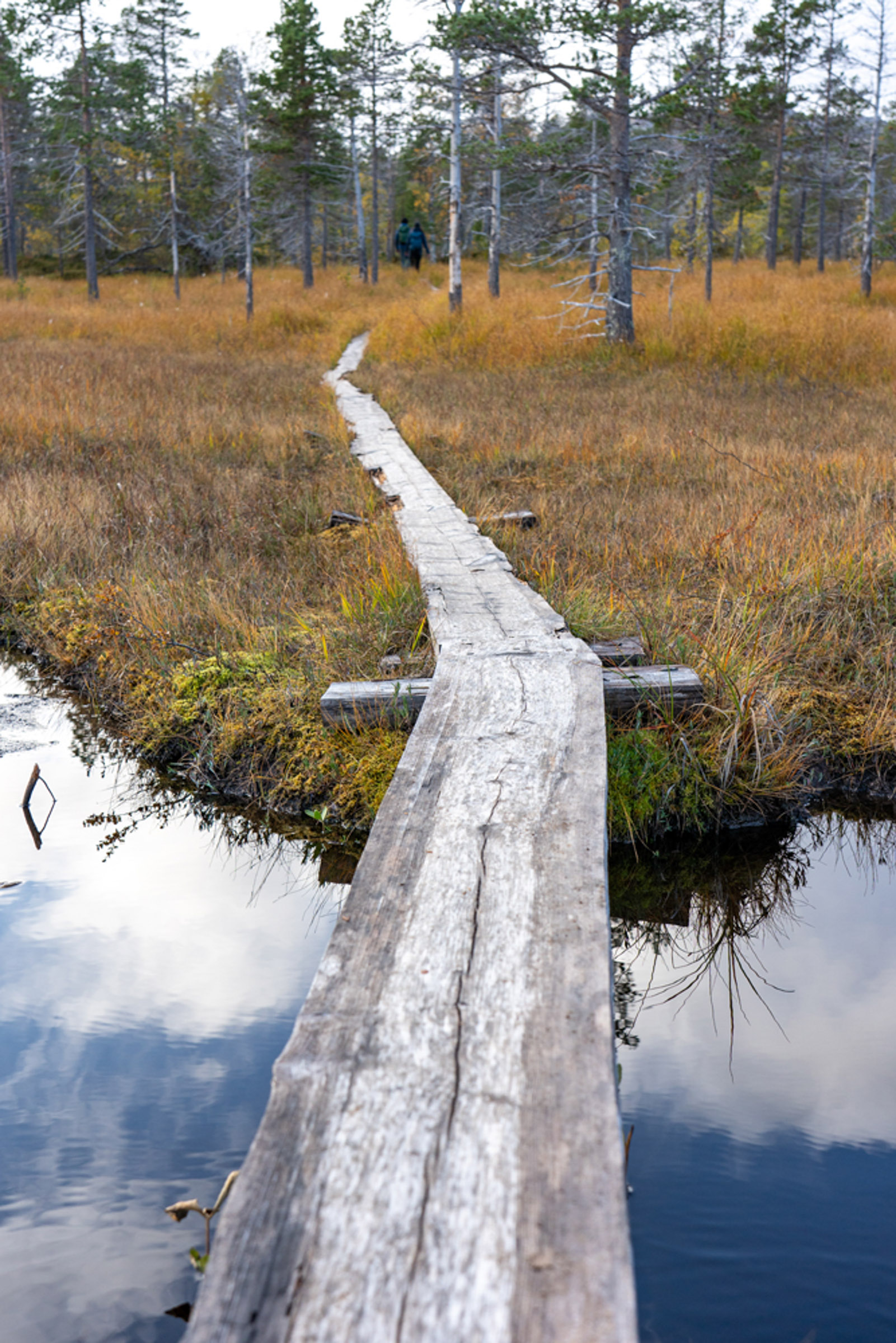
The return gives you a loop
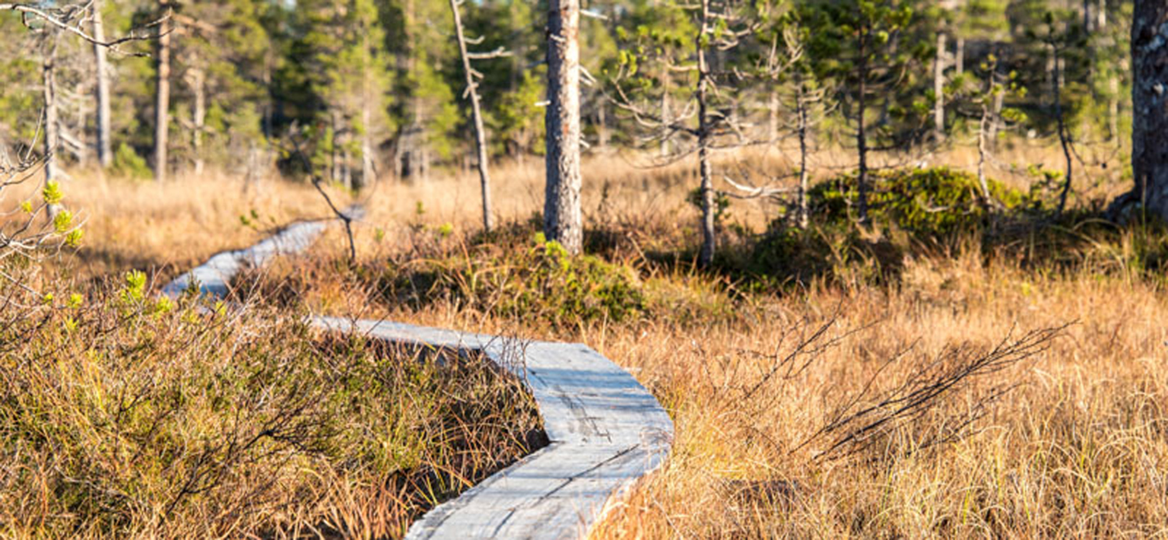
A sign pointing to “Hyttekroa” lead back on a different way. Slightly down, I saw more of the sculptural pines, but there were also patches of the more typical mixed boreal birch forests, with rowan and willow mixed in. Across the bogs, plank pathways were laid out, and all I could hear were little streams chuckling and the odd bird singing in early summer bliss. But most of the time, I could only hear my own footsteps. One bog crossing on planks later, I was back on the solid path where I started. In 2-3 hours, I had walked to the border of the National Park and looked far into it. My mind soothed, I felt calm and rested.
The hike to Lake Åndervatnet is a good daytrip
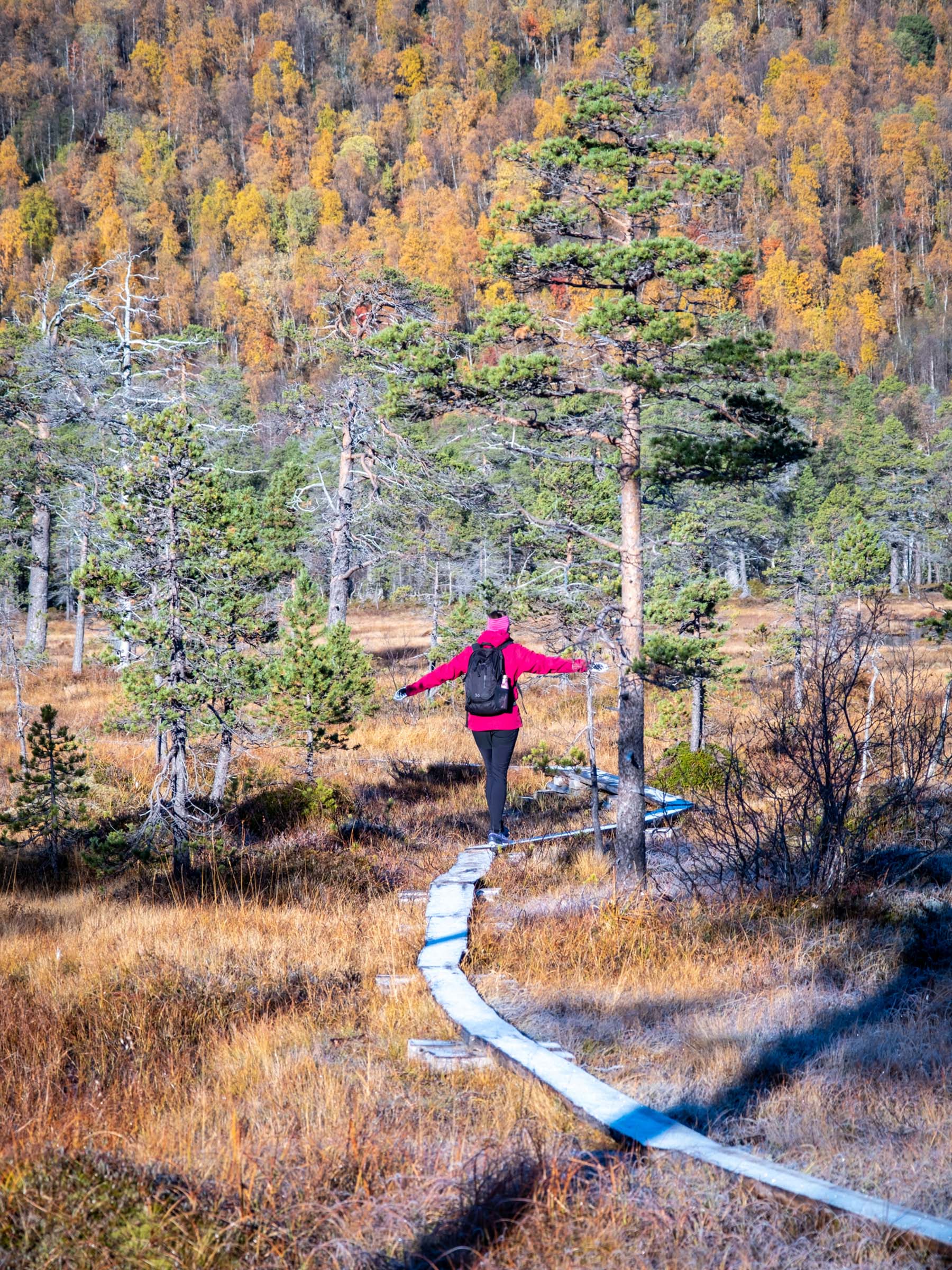
If you have more time, you reach the heart of the Ånderdalen valley by following the trail to the right from the border. The distance from the Hyttekroa parking to the lake is some 6 km one way. Most of the trail is in flat forest terrain, and simple plank walkways protect you from the watery bogs, and the bogs from your footsteps. The last part of the trail is steeper, where a moraine the melting after the last ice age gives a steep ascent. Finally, you reach the lake, which has an altitude of a good 100 metres.

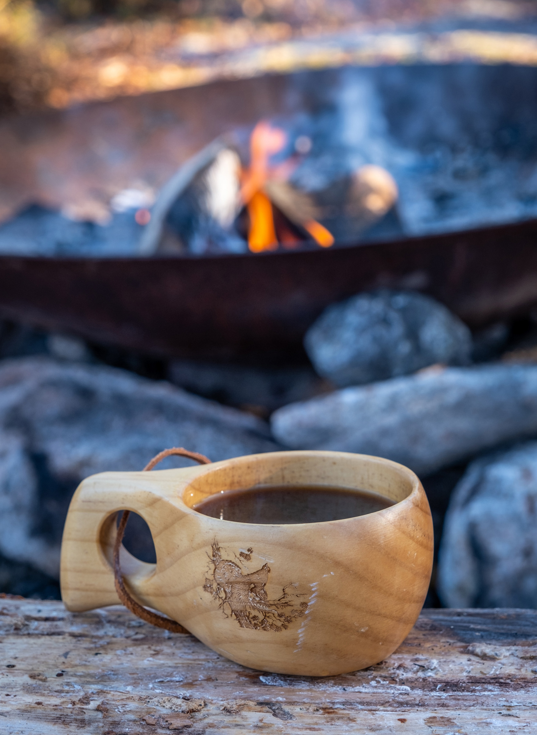
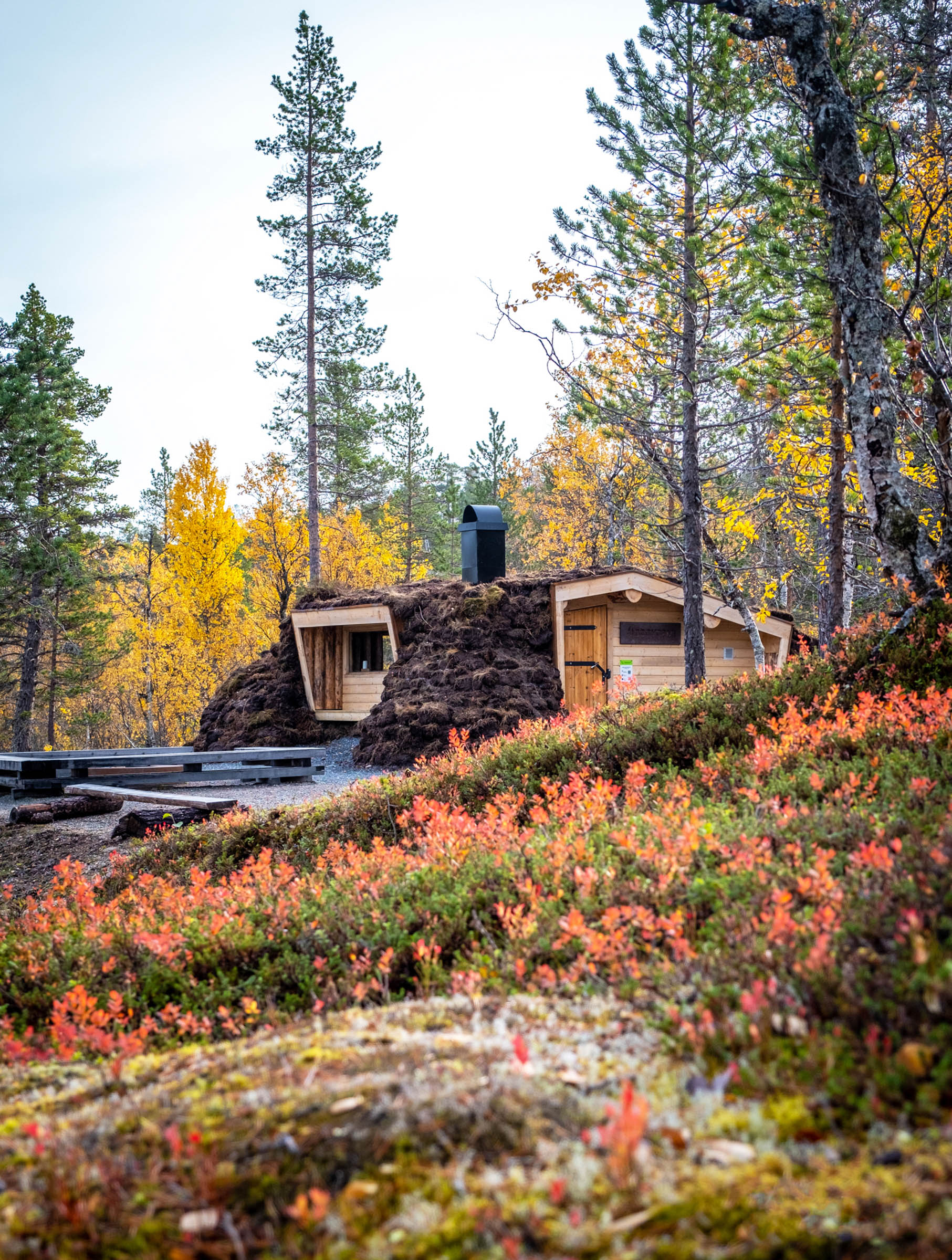
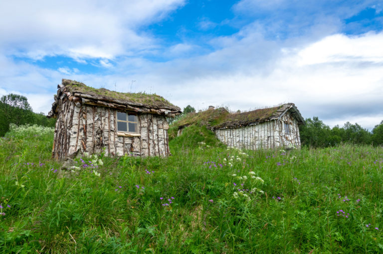
The huts at Lake Åndervatn provide shelter for your coffee break
There is both a modern hut, Åndervasshytta, and a gamme – a Sámi turf hut – on the lake. Both are open and give shelter in rough weather for your coffee break. This trip does not require anything but good shoes, enough clothes and a solid packed lunch. And you should be able to hike 12 kilometres on rough forest paths with ease.
The trail Senja lengthwise crosses the park
“Senja på langs” – Senja lenghtwise – is a hiking route taking you along the spine of the varied island of Senja. If you are not an ultrarunner, but a seasoned hiker in good shape with experience from hiking in the wild, it should take you 5 days to finish the 88 kilometres. The trail goes through the central part of Ånderdalen National Park, with a suggested overnight stay in the shelters of Lake Åndervatn.
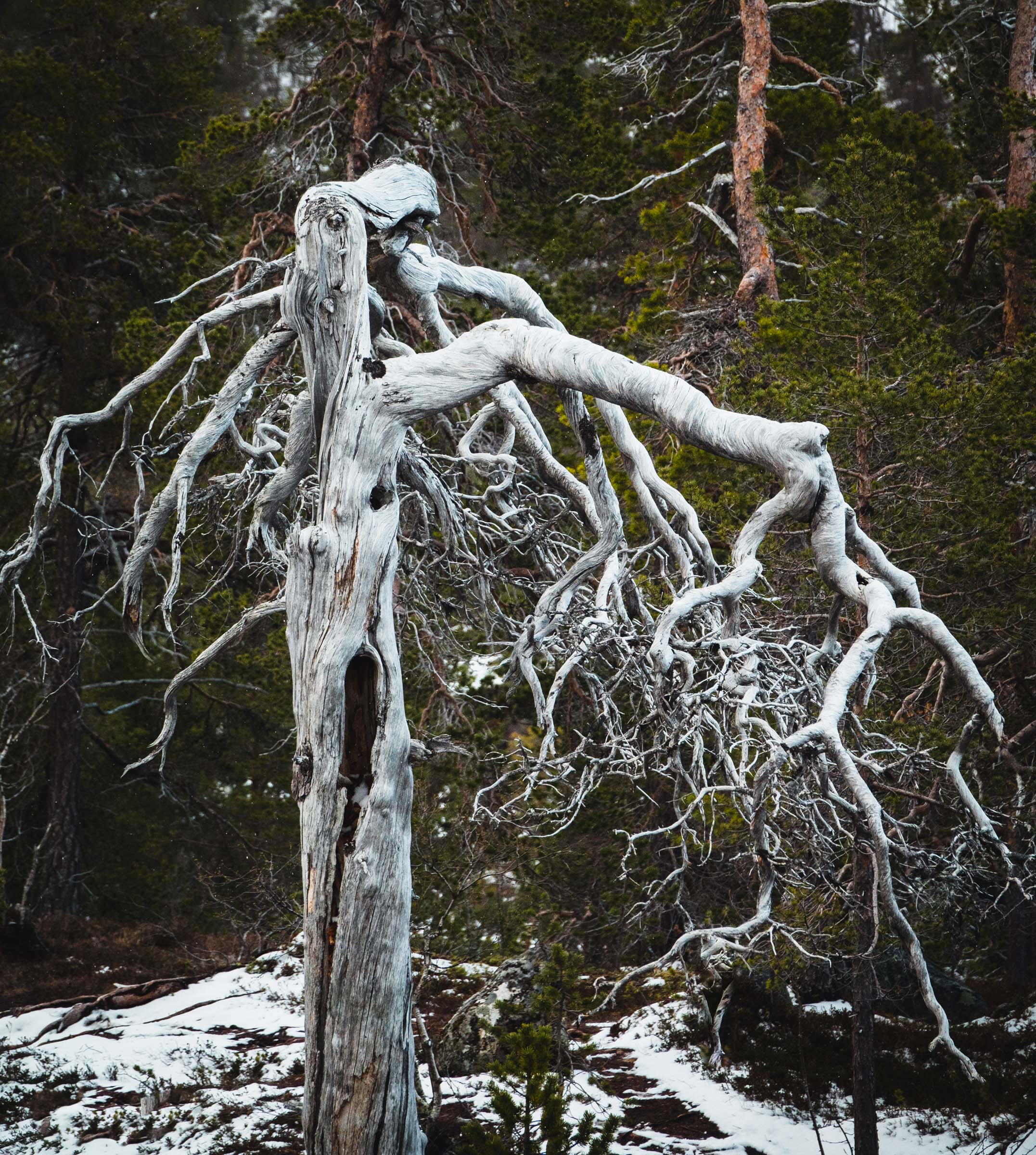
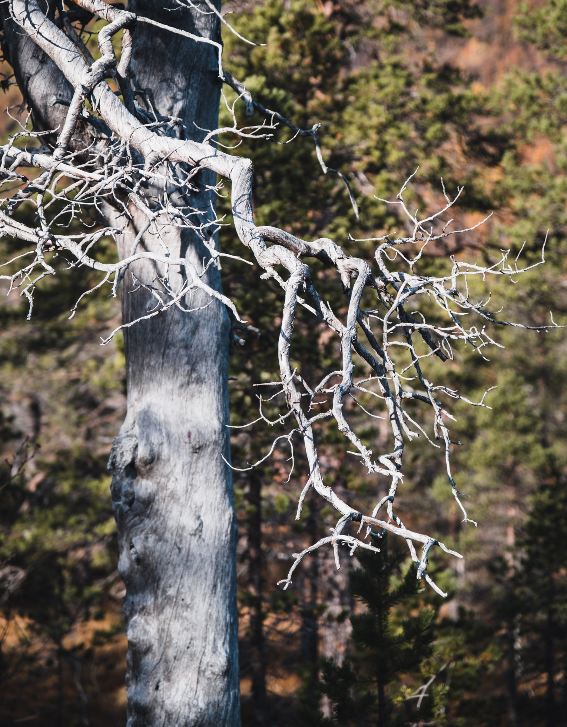
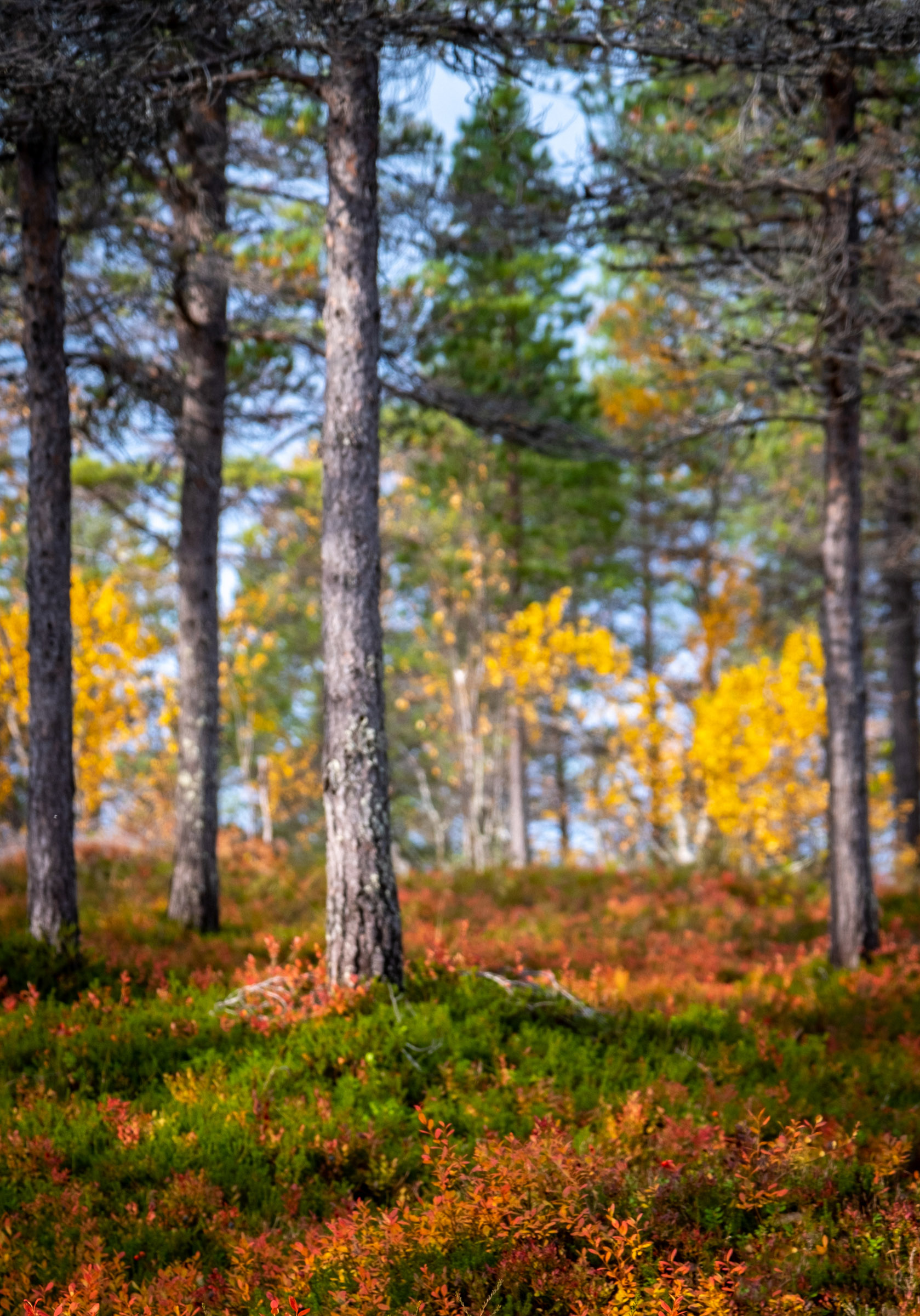
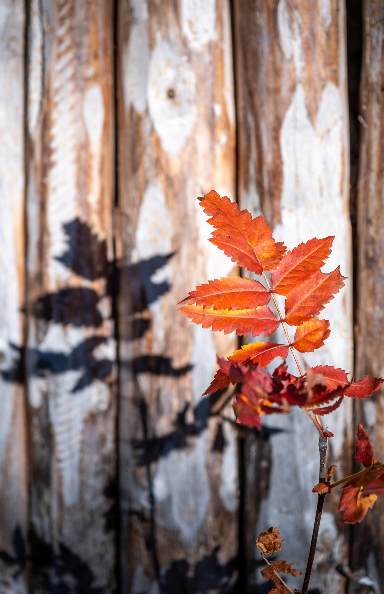
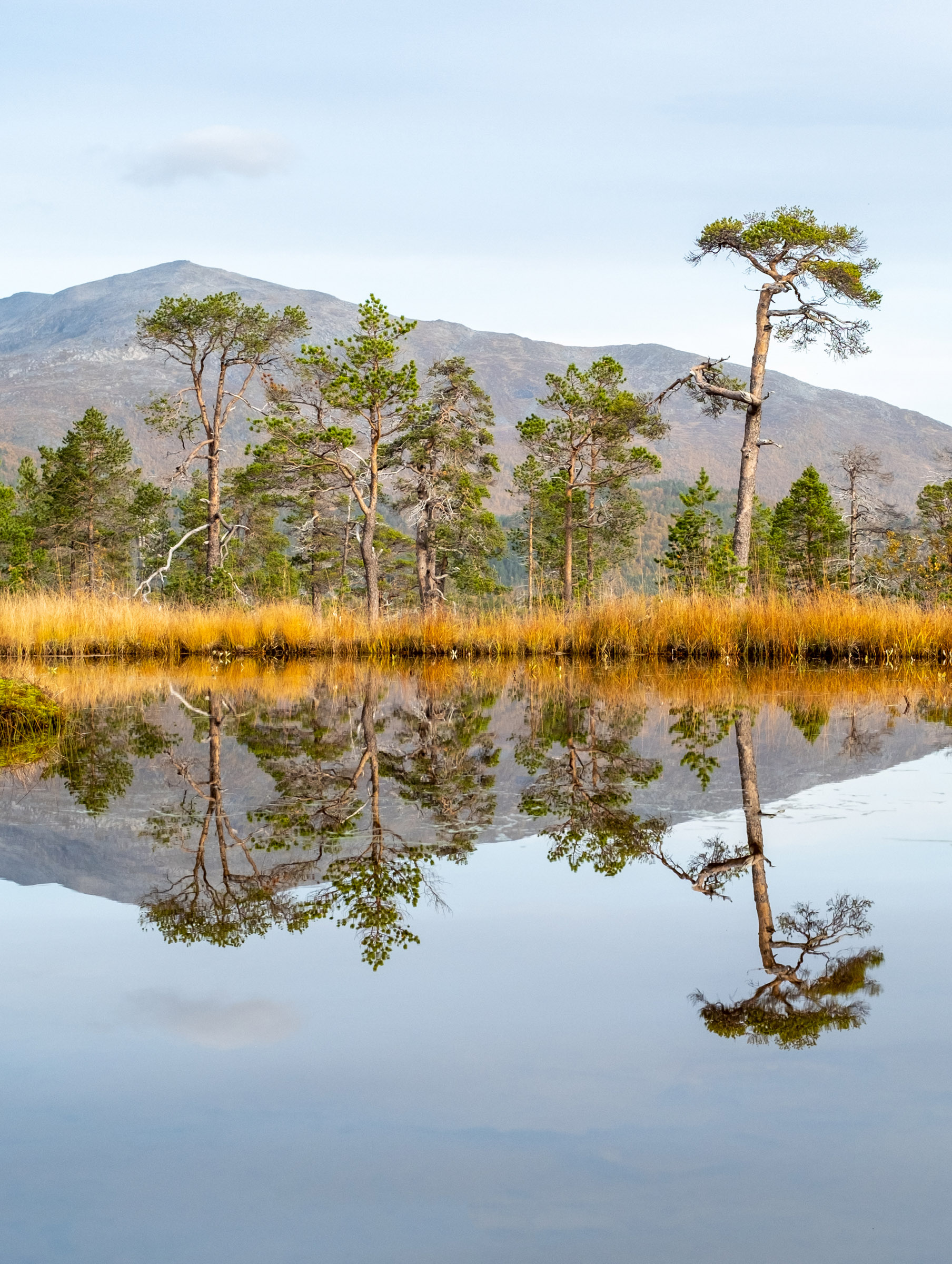
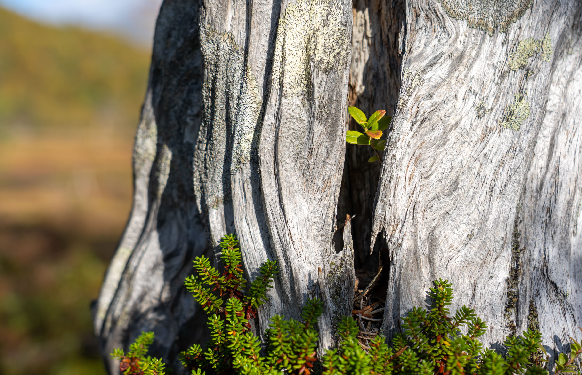
Pinetrees are sculptures in the landscape
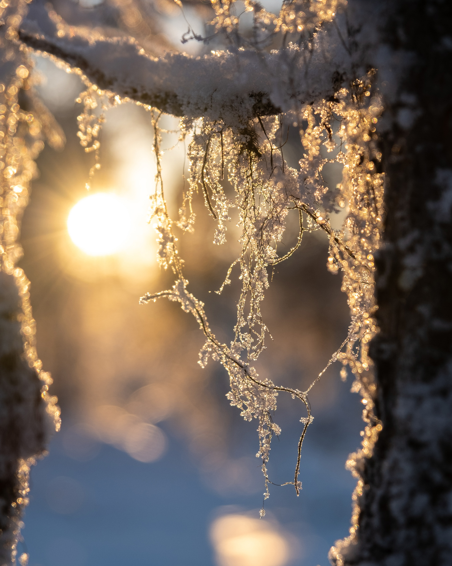
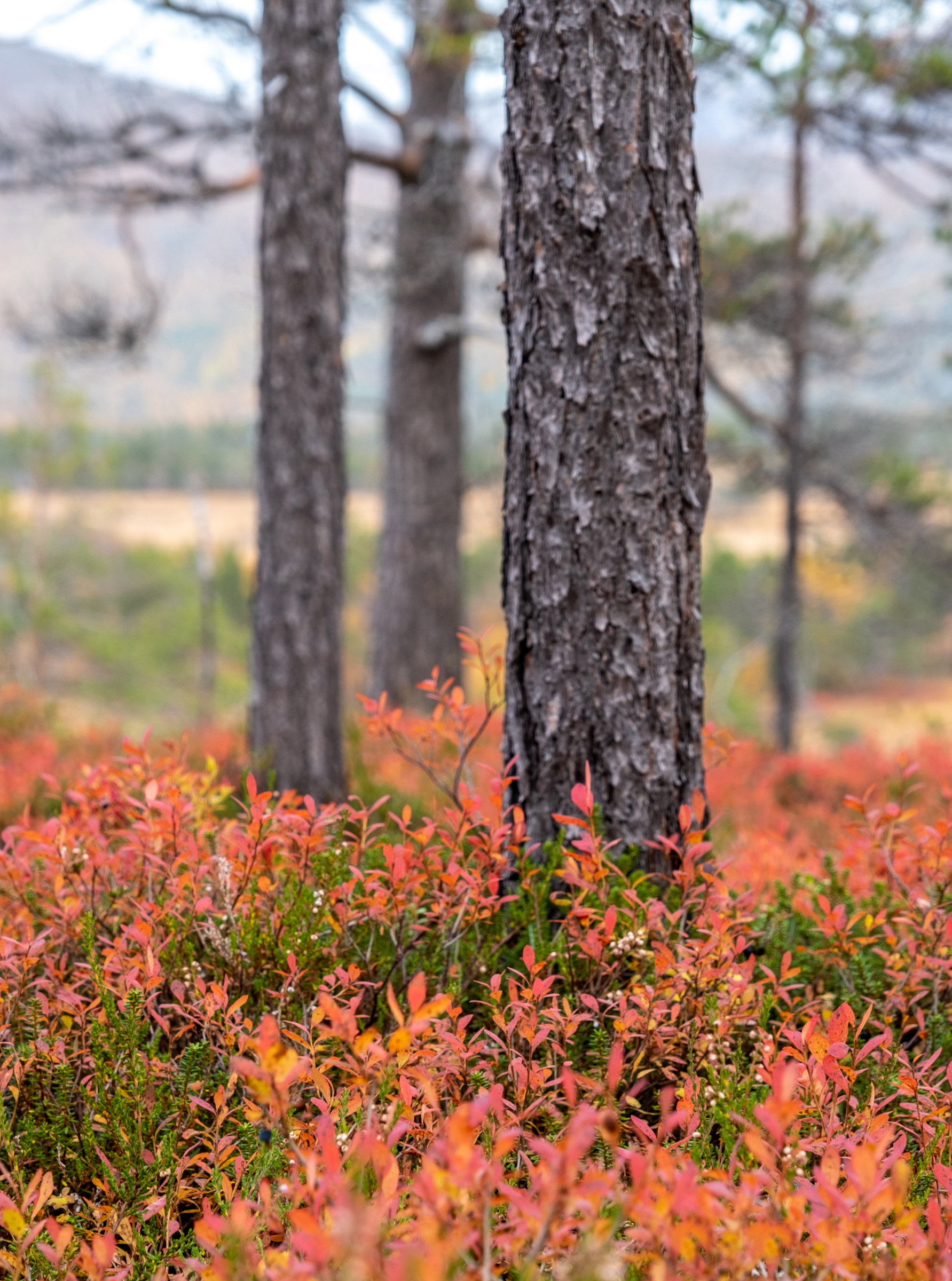
The character tree of the Ånderdalen national park is the Scots pine – Pinus sylvestris – covering much of the valley. It thrives on the poor soil of the valley, and lives for hundreds of years. One of the features of the valley are the twisted and gnarled pine trunks, turning into shapes reminiscent of Japanese art. Equally striking are the many dead trees. In most forests one tends to walk in, trees are felled before the end of their life cycle. There is no forestry in Ånderdalen. In the dry, poor soil, deciduous forest doesn’t grow up to cover up the dead pine. Thus, the pines decay over decades in full view, providing homes for insects and birds. To wanderers, it adds a touch of melancholy to the landscape.
Ånderdalen is old grown forest
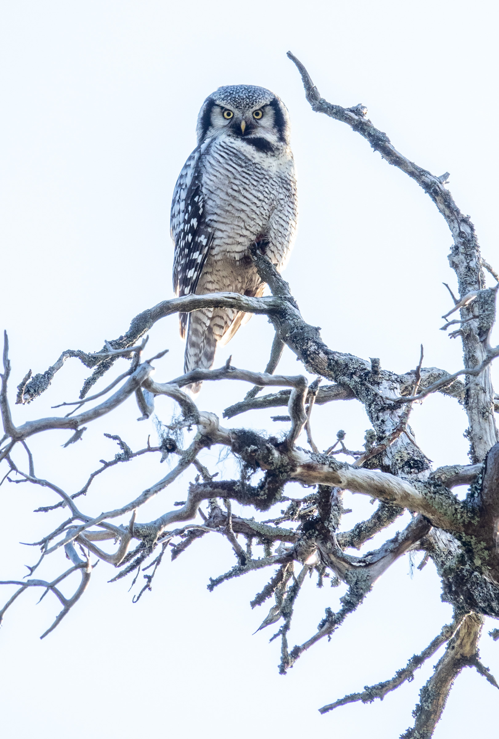
Ånderdalen has a character of a primeval forest, with trees in all stages of life. The valley, however, has been used by humans through the centuries. Locals have been felling trees and harvesting hay in the wild. Sámi reindeer herders use the area even today, and the reindeer you might come across are part of their herds. Sedentary Sámi – both the ones living along the south coast that we call Sea Sami and the Márkosamiek living along the rivers and lakes inland – have used the area to collect timber and hunt. Skoglia is a farm on the edge of the national park, and it was inhabited until 1994.
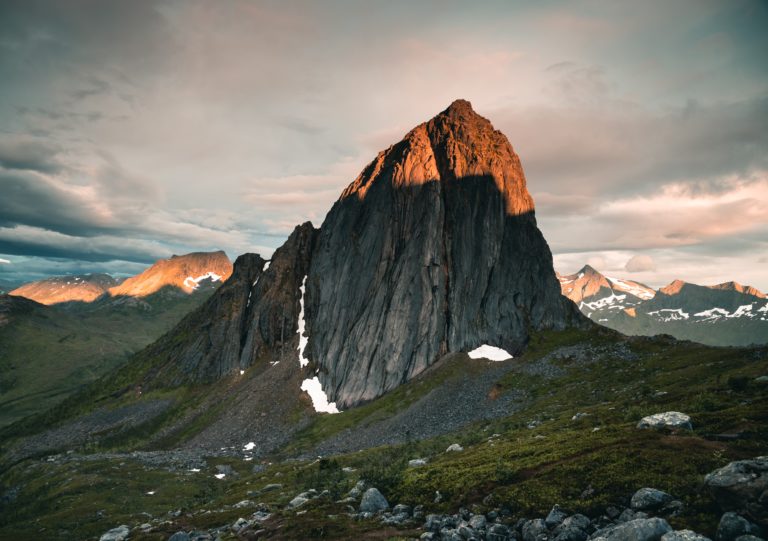
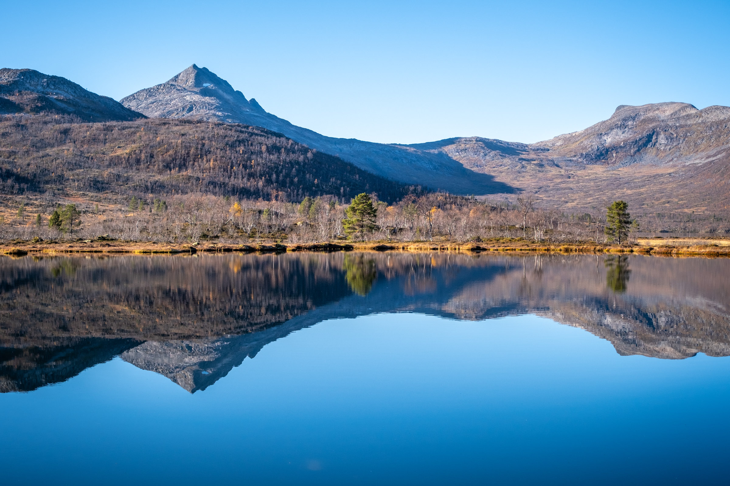
Mountains and fjords in the park are more difficult to reach
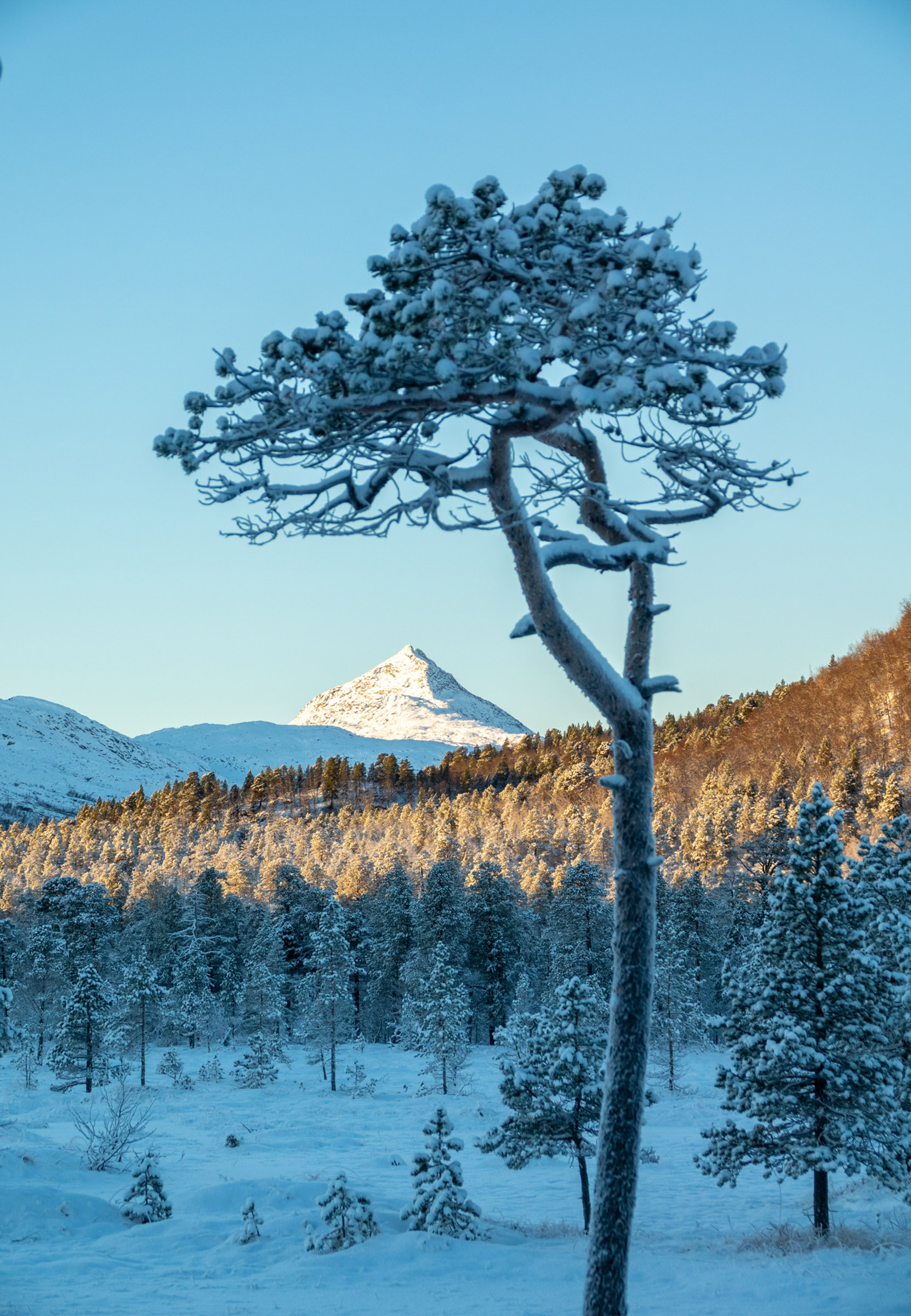
When you go north and west of the Ånderdalen valley, the landscape gets more rugged and mountainous. Mount Istind, at 851 metres and the Kvænan peaks at 963 metres guard the northern and western boundaries. The Selfjorden cuts from the ocean to the park, allowing the park access to the Atlantic. These areas are scenic and varied but lack marked trails and huts. You should thus be an experienced hiker to move around.
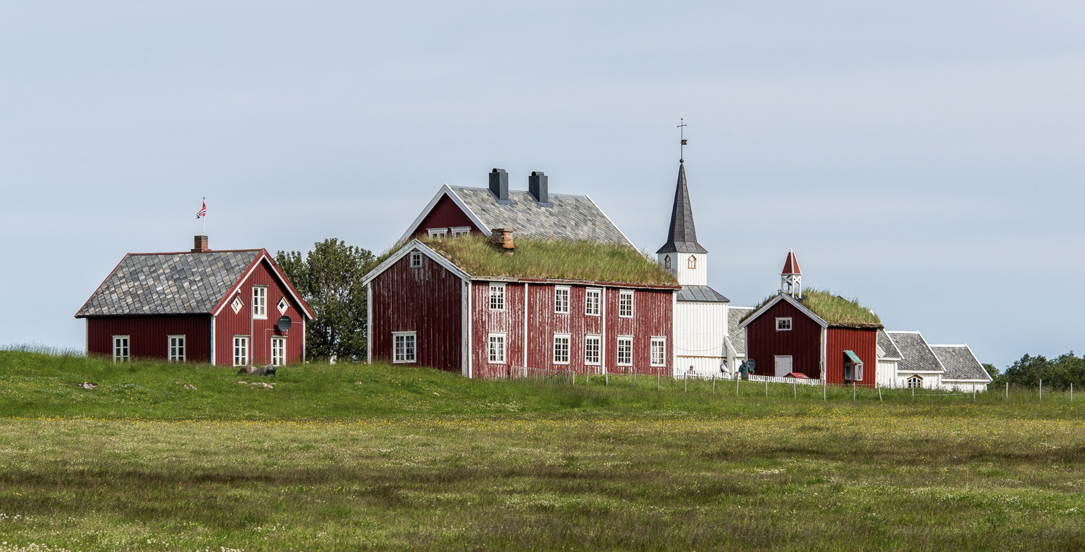
The Sážža nature house sums it up
A quick and easy way to get an introduction to the park, it by visiting the Sážža Nature House and Museum. This is an exhibition with various nature and culture themes from Senja, including the Sámi population, the local history and all the various nature types found in the national park. It is found in a closed down school on Senja’s south eastern side, conveniently situated between Finnsnes and the parking in Tranøybotn.

About Ånderdalen National Park
The Ånderdalen National Park – Ånderdalen nasjonalpark in Norwegian and Álddovuomi álbmotmeahcci in Northern Sámi – is found on the island of Senja in Northern Norway – between the cities of Harstad and Tromsø. The nearest town is Finnsnes, about an hour away from the park.
The easiest gateway, also described in the article, is the National Park parking opposite “Norwegian Wild” (marked as “Hyttekroa” on maps) is the easiest place to start. It is about one hour’s drive southwest of the town of Finnsnes.
The “Hyttekroa” – run by small company Norwegian Wild – is the obvious choice, serving both coffee and meals. Senja Roasters on Stonglandseidet, southwest of Tranøybotn is an urban coffee shop. Post-hike stylish dinners can be had at Senja Fjordhotel. Off the beaten track, things easily slow down on southern Senja.
A string of hotels, resorts, campsites and guesthouses lines the southern coast of Senja, ranging from simple to comfortable. For a comprehensive overview, consult Visit Senja’s home page.
Anything practical and updated is found on Visit Senja’s website, an absolute must for planning. Our website has a number of articles on Senja throughout the year.