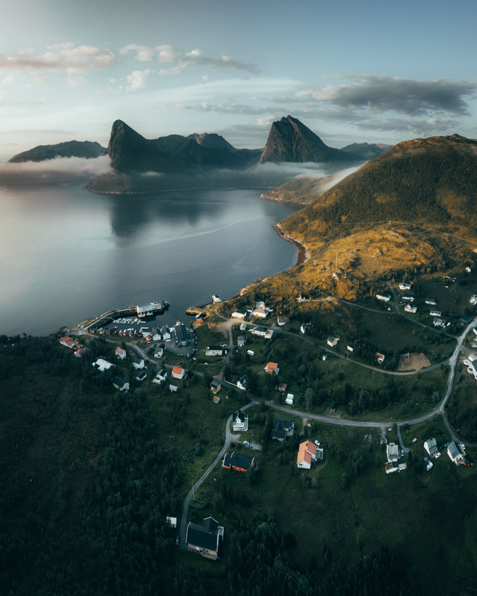
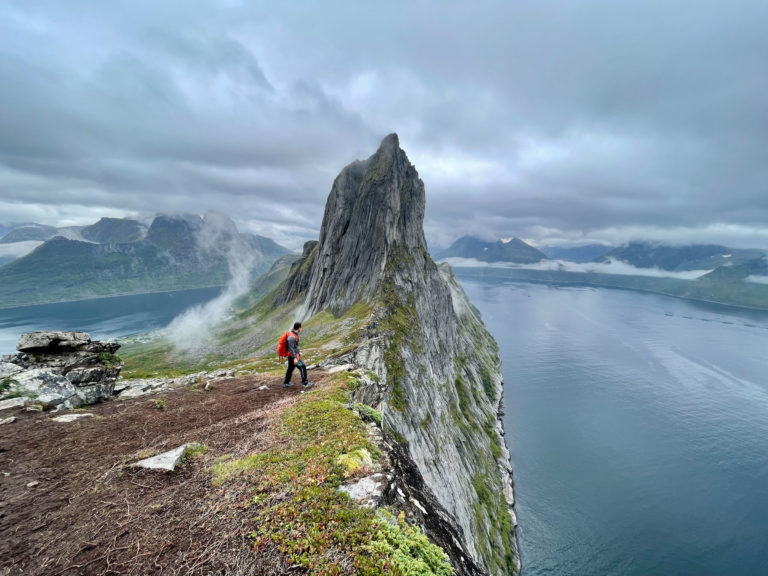
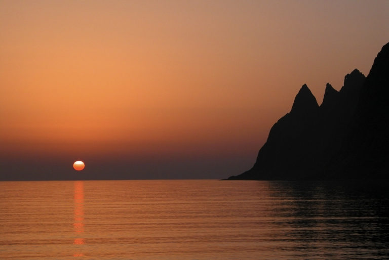
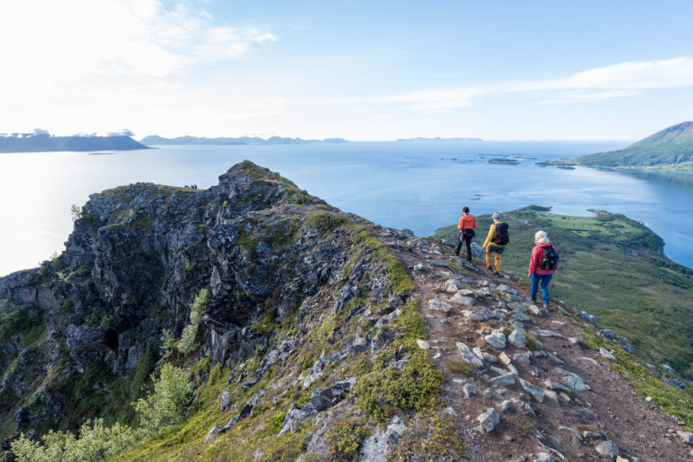
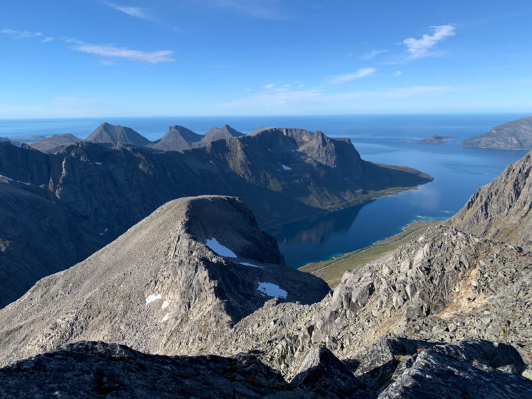
No wonder why everyone talks about the Norwegian Scenic Route along Senja Island’s outer coast. It is a stretch of unparalleled beauty. However, instead of heading straight to the whales in Andenes or to busy, merry Tromsø, one could give Senja a bit more time. This big island is a micro-continent with many kinds of landscapes literally half an hour apart. To help the free-spirited, curious, and independent traveller, we have created this guide to beautiful scenery, low-key attractions, easy hikes to picturesque places, and local communities that blend in with and stand out from the stunning scenery around them. We start on Senja’s friendly south coast, make a detour to a western fjord before we end up along Senja’s inside.
Tranøya is the old centre on Southern Senja
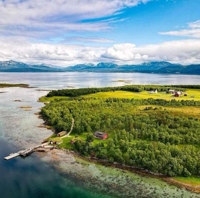
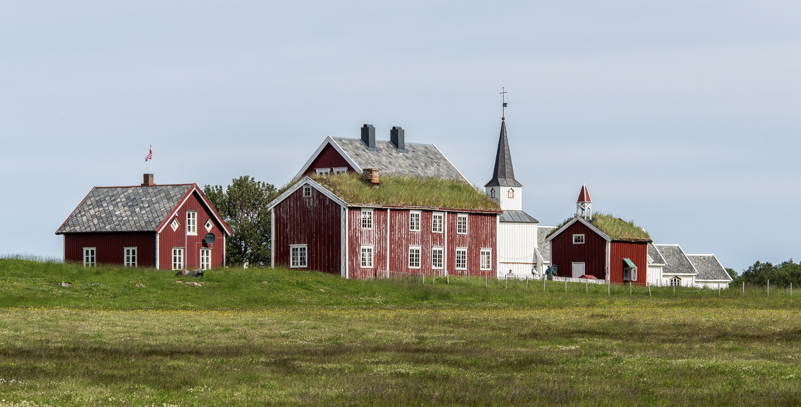
Once, the island of Tranøya was the centre of everything in Southern Senja. All the small settlements could easily sail to Tranøya to go to church, trade and meet others. The church dates from the late 18th century, and the vicarage is a gem of houses from the 18th and 19th centuries. By appointment, one can go there for a couple of nights’ stay in perfect solitude.
Go to Senja’s southwestern tip for fishing stories
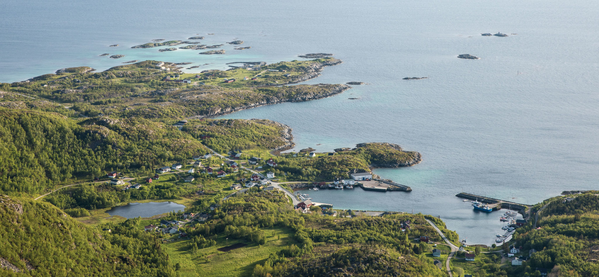
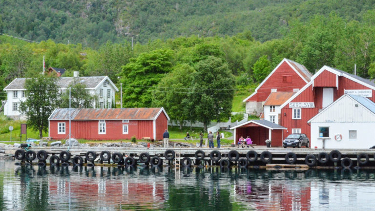
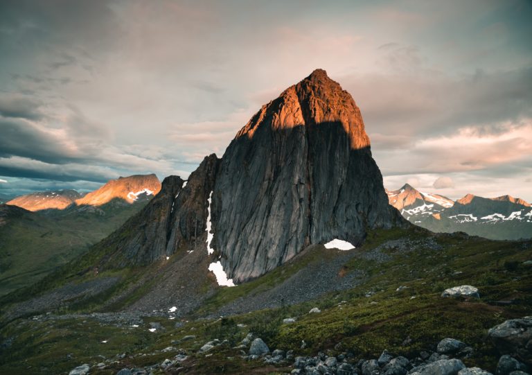
Skrolsvik is a small fishing village where the road ends at the southwestern tip of Senja. The mixed and colourful houses surround a calm port, where fishing boats and catamarans to Harstad come in. Stop here for a visit to the Halibut Museum to hear about traditional fishing – it is well-explained, humorous and quickly done – and finish off with a coffee at the old shop. The more adventurous of course do the steep ascent to Mount Sjursviktinden, at 791 metres, which should take you most of the day.
The Rødsand detour is Senja in a nutshell
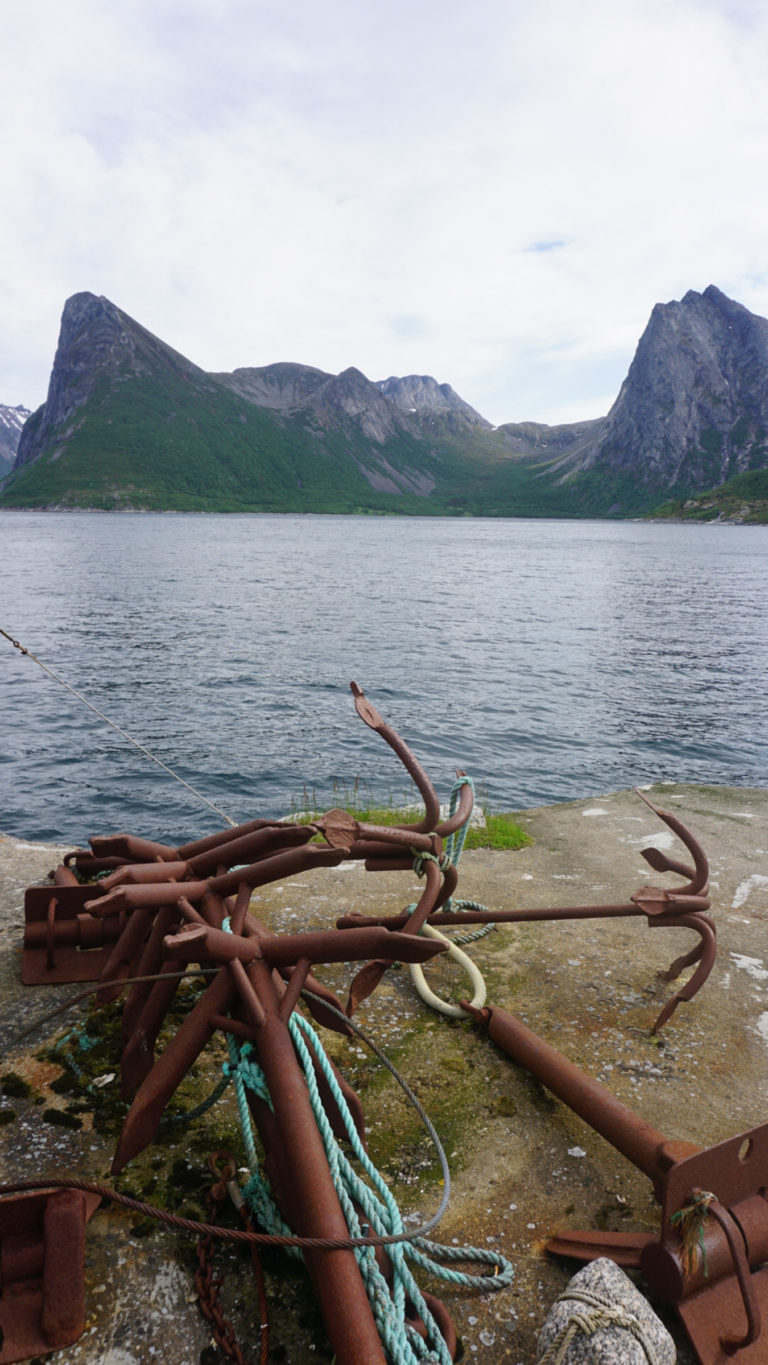
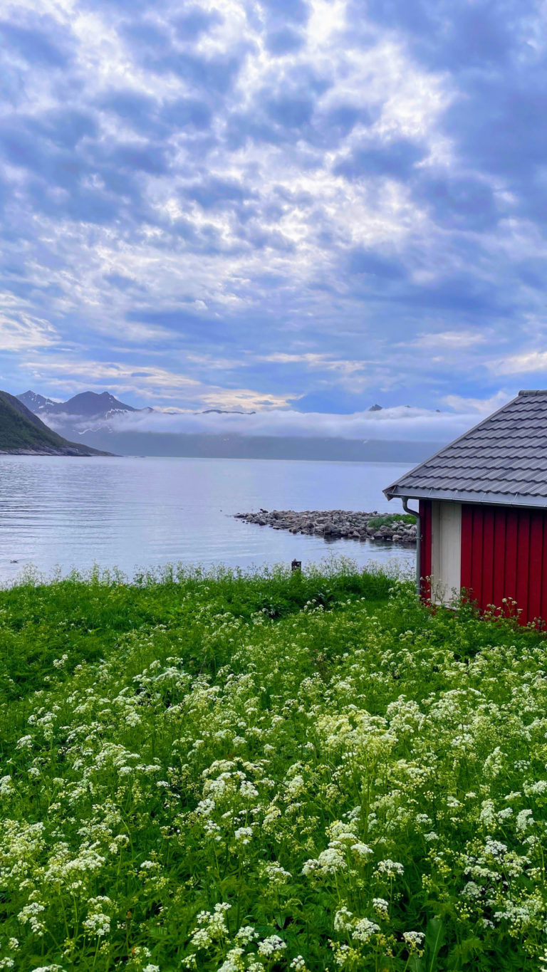
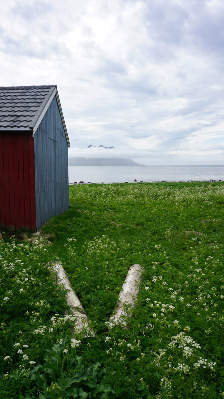
On the way to Skrolsvik, the detour to Rødsand is delightful. A low pass between fjords takes you along the Olaheimvatnet lake with its little islands and cluster of farms to a small fishing village. Here the red boat houses around the port form a backdrop for views to the steep, monumental Lomstinden across the fjord. A few kilometres that sum up Senja.
Stonglandet is Senja’s southern extremity
The village of Stonglandseidet boast both a supermarket and an urban coffee shop. From here, one can make detours to the green peninsula of Stonglandet. Follow the western, outer coast to the Hofsøy village museum, a little farm with houses dating back partly to the late 18th century. This is also where you can start the Dronningstien hike to the southern tip of Senja. On the other side of the Peninsula, Leirpollfjellet is an easy hike rewarding you with views to distant islands around the fjord system south of Senja.
Ånderdalen national park is Senja’s quiet core
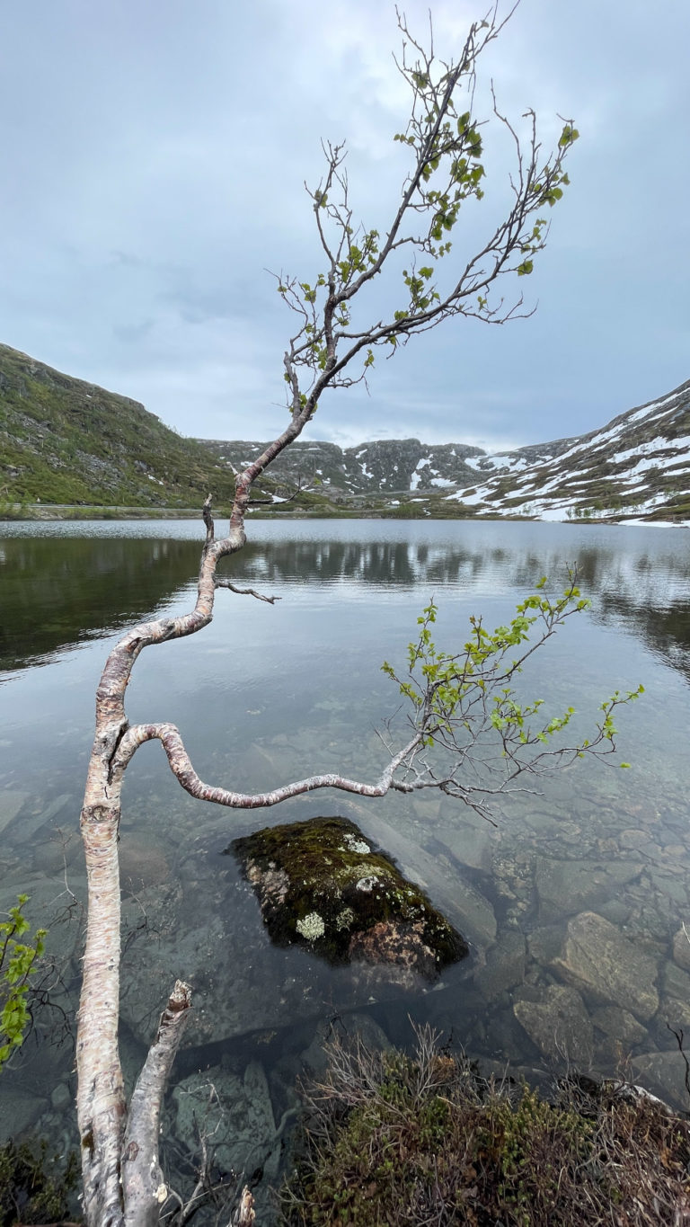
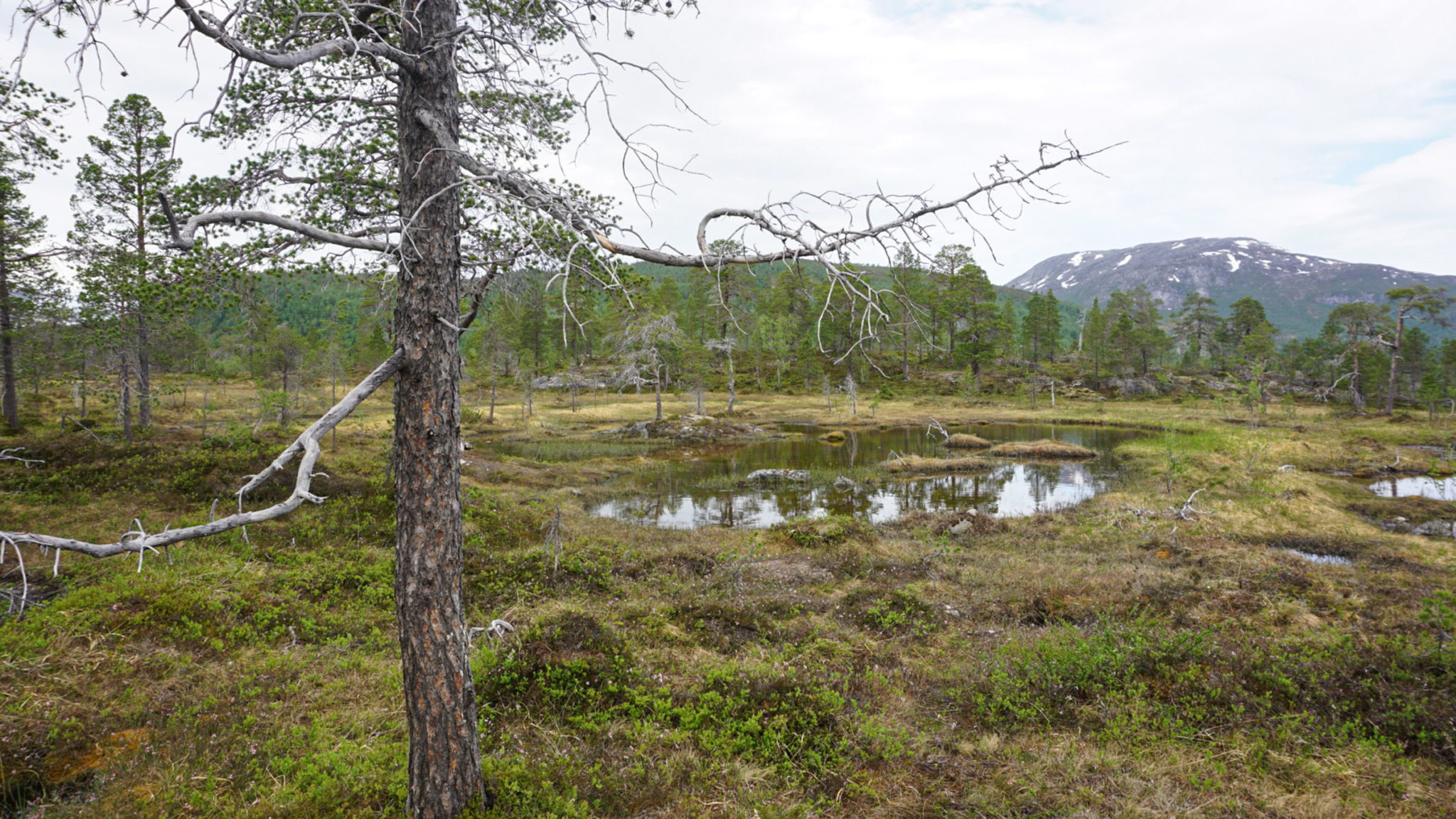
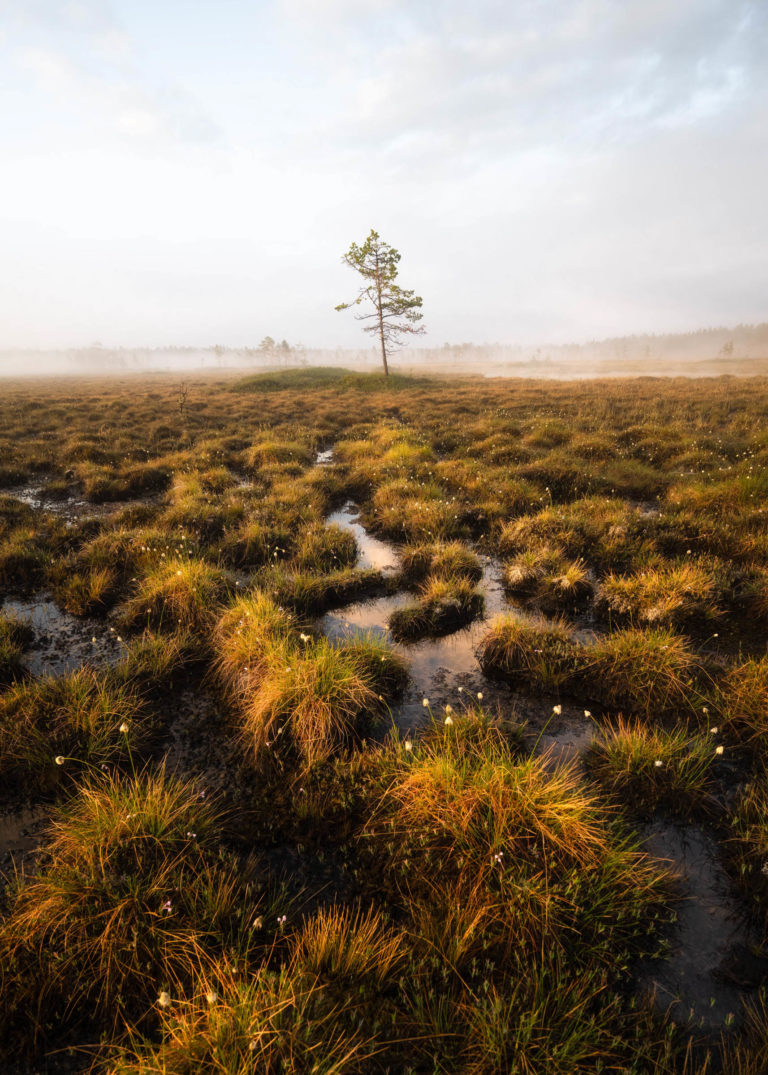
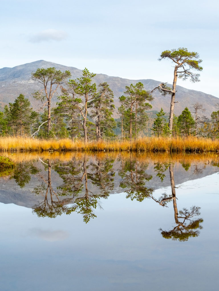
The valley of Ånderdalen is a patch of primeval forest, where gnarly, twisted pines grow among bogs and lakes. Some of the pines are 600 years old, others have given up the ghost to the delight of birds and insects. Easy trails criss-cross the valley and take you on planks across wetlands up to viewpoints. Choose between easy trails lasting a couple of hours and a five day hike along the spine of the island. And a few in-between.
Cross the keel of Senja for classic fjords
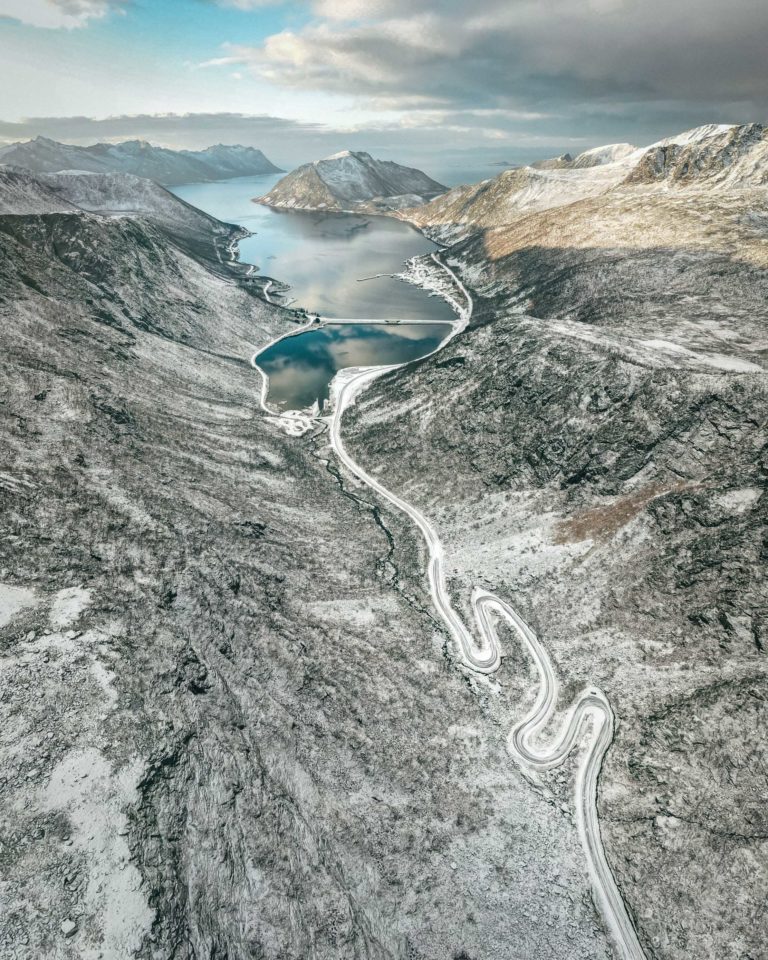
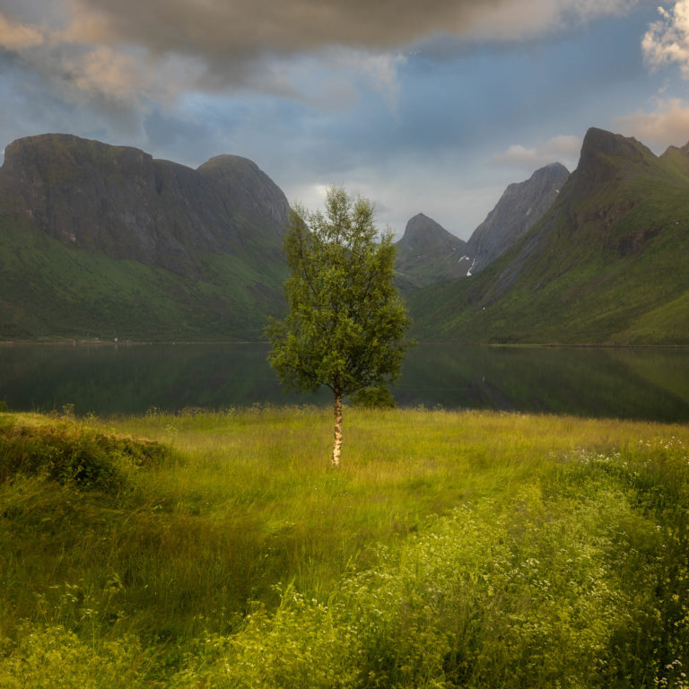
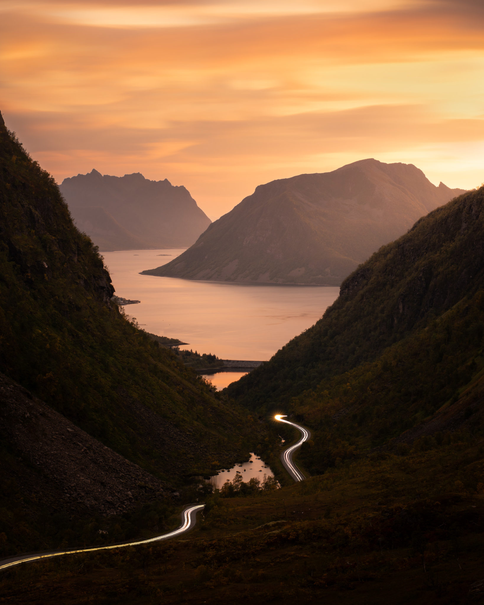
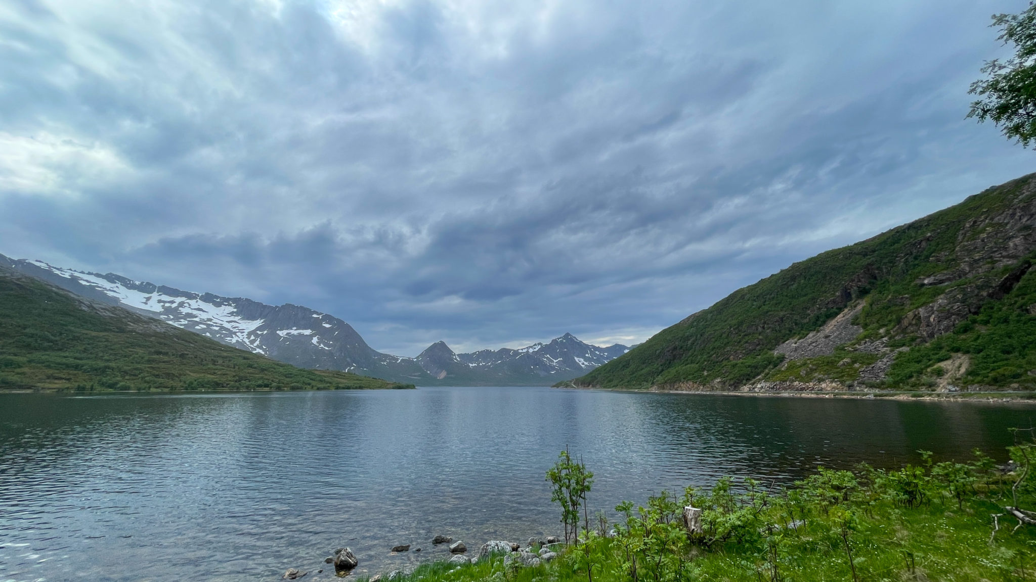
There is a different Senja less than an hour away. From the deep forests of the Kaperdalen Valley, there is a steep ascent above the treeline. At an altitude of 368 metres, you reach the highest point, and the descent on the western side is steep. Stop at the lake when coming down and view the road twist and turn in hairpin bends through the narrow valley, with the fjord blinking down there. It all feels wild. But the minute you reach the fjord, it all changes; Farms, houses and boathouses line the calm, protected fjord, and it at feels inhabited. However, there is always a view to steep, dark mountains. The Sifjord is thus a classic fjord.
Discover the villages along the Sifjord in Senja’s southwest
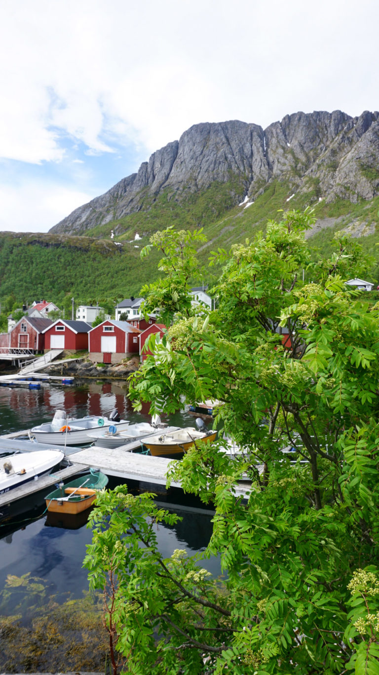
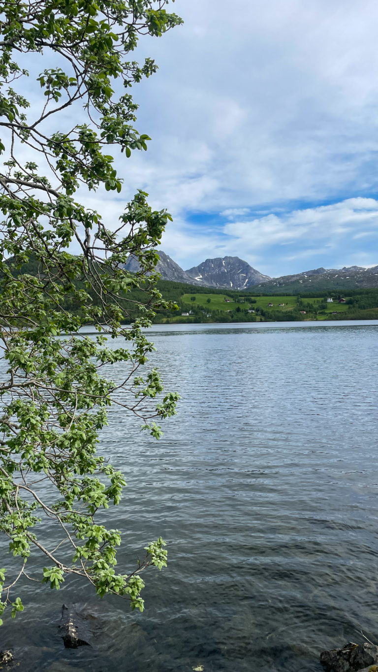
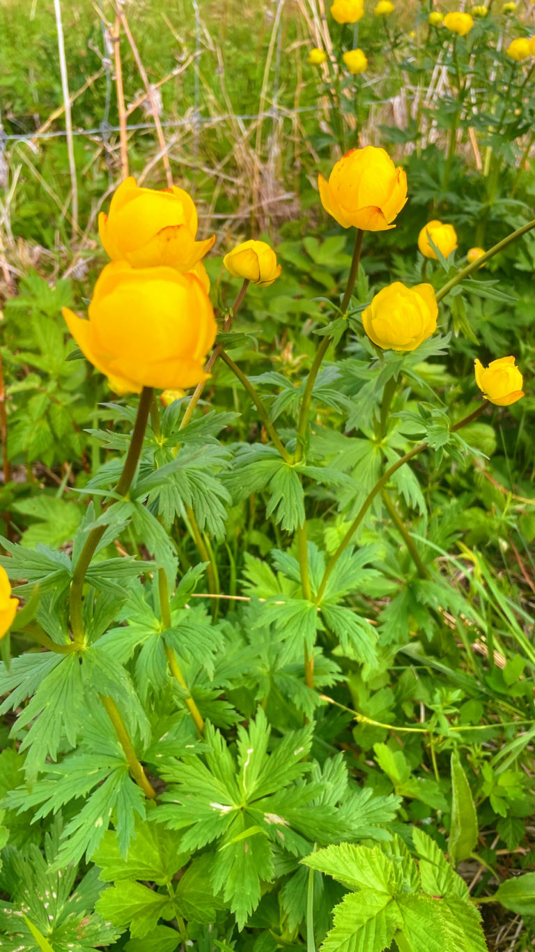
The Sifjord makes a deep cut in the coastal range, and the northern shore is a strip of dense habitation. Boathouses line the shore, wooden piers with boats anchored up puncture the calm waters. Colourful houses of various ages surround the winding, narrow road, forcing you to drive slowly. Sifjord, Medby and Kaldfarnes lie as a string of pearls along the shore, and it feels green and welcoming. To reach the outer most village, Grunnfarnes, the road meanders up a hill with great views, before descending into a long line of houses. Out here, if feels a bit more maritime and exposed than further in, with flowery meadows swaying in the breeze in summer.
Flakstadvåg is Senja at its remotest
From the head of the Sifjord, a narrow road leads along rocky outcrops and big boulders under pointed mountains – all clad in lush foliage – to the remote village of Flakstadvåg. Despite its minuscule size, it has a modern feel with a busy port serving the salmon farms around the fjord. The view to the mountain of Lomstinden is breathtaking, and you can go for a short walk along the shore to the stream Finnelva. And most of all wonder about life in a remote location like Flakstadvåg.
Senja’s inland hides a beautiful secret
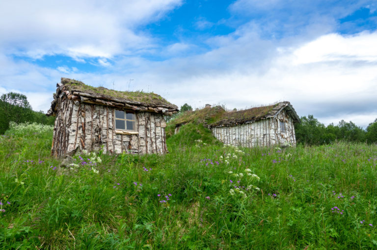
Dense forests cover the lowlands east of Senja’s keel range. Along some of the rivers, one finds small settlements. People here are in part of Sámi origin, forming a particular group among this ethnicity. One of their traditional houses is preserved, the “Nikolaigammen” – a very simply turf hut attesting to a lifestyle much more tied to nature that modern people can imagine.
The Gisundet Strait separates Senja from the mainland
The regional centre of Finnsnes is positioned where the Gisundbrua bridge spans the sound of Gisundet. When you drive around this maritime highway, you are surrounded by rich farmlands. In summer, one flower meadow gives way to the next. Gibostad used to be an important meeting place along the waterway, attested by a well-preserved little port area currently under renovation. This is a place for coffee and relaxation.
Go to Bjorelvnes for old stories and Senja views
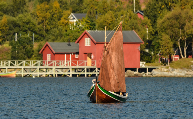
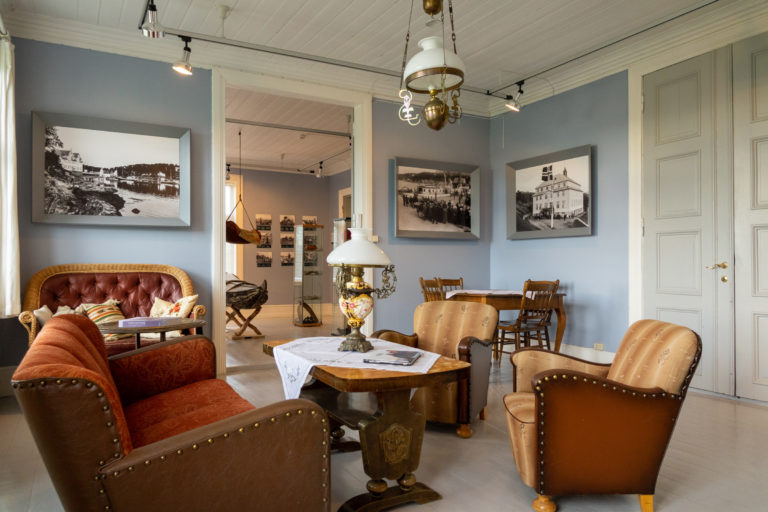
Along the mainland side, a local road takes you to Bjorelvnes. The stately late 19th century church looms over a settlement with architecture of all ages. The vicarage is where you stop; here there is a little museum, Lenvik museum, telling stories from local history. The little Sami exhibit talks about long-standing connections with the northernmost parishes in Sweden. Then you go down to the sound and have a look at the traditional boats. It’s all peaceful yet whispering of a rich history.
Little gems off the beaten track in Senja
When you’ve done the Norwegian Scenic Route, you can wander to some of these points around a magic island with endless variety.
Tranøya
Historic Island with lots of heritage and a zen vibe
Skrolsvik
The halibut museum and the old shop in a picturesque fishing village
Stonglandet / Hofsøy
The Hofsøy local museum and the Queen’s path to Senja’s southern tip. Alternatively, Mount Leirpollfjellet nearby gives a wider view.
Ånderdalen National Park / Hyttekroa
Easy hike – or as long as you want it – into the National Park with deep pine forests
Sifjord / Grunnfarnes
Fjord with tight-knit communities along a dramatic fjord
Flakstadvåg
Detour with wild nature to a minuscule community
Kaperdalen / Nikolaigammen
Sámi turf house – uniquely preserved – part of an often ignored part of Sámi culture
Gibostad
Trading post along the inner waterway
Bjorelvnes / Lenvik museum
Little, local museum with stories from the area
Off the beaten track tips from Senja
Senja is a rather big island in Northern Norway, some 300 km/200 mi inside the Arctic Circle. The city of Tromsø is north of Senja, and the city of Harstad is found south of Senja. The biggest town in the area is Finnsnes, found where the bridge from the mainland crosses over to Senja.
You can indeed. There is a ferry crossing from Brensholmen (near Tromsø) to Botnhamn (Senja). Then you can explore Senja, and continue to Andenes (Vesterålen) via the Gryllefjord-Andenes ferry, and saunter down to Lofoten. Or vice versa. Ferry timetables are listed on Troms Fylkestrafikk. If you’re not driving, the hop-on hop off- bus route Arctic Route is an alternative.
The typical place to stay in Senja is some kind of detached little house, called hytte, sjøhus, rorbu or campinghytte, although there are also classic hotels and some resorts. Expect a lot of character. Study the overview on Visit Senja’s website carefully, as some can be luxurious, others very comfortable and some good value and cozy. Pre-booking is a good idea in the busy month of July, when Norwegians tend to travel a lot.
As Senja is an island with relatively few people living spread out, eating takes a little bit of planning. Study the overview on Visit Senja’s website for all the details.
There isn’t a bus every hour, to put it that way. From Tromsø, there is a catamaran 2 to 4 times a day to Finnses, and most days of the week, there is also one from Tromsø to Lysnes on Northern Senja. Skrolsvik on southern Senja is reached from Harstad. For an overview, have a look at the Troms Fylkestrafikk website. It’s often a good idea to ask your accommodation for help, they are good at deciphering the timetables.
Travellers who otherwise use public transport, can hire a car at Finnsnes for the day. You can cover a lot of ground on a day, before you hand the car back.
