From Børgefjell to Bjørnfjell
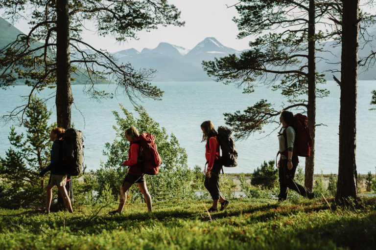
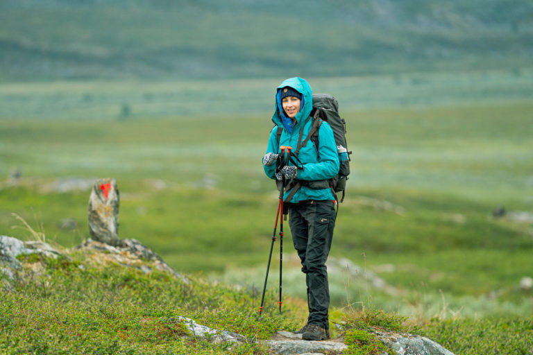
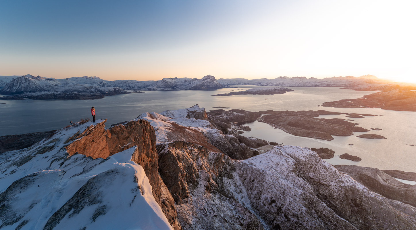
Nordland trekking trail is the longest continuous marked hiking trail i Norway*, mostly following the mountains and glaciers along the border between Norway and Sweden. This article present this trail in three different destination / mountain regions (Narvik/Ofoten, Bodø/Salten and Helgeland).
“The longest there is”
You may have heard about Kungsleden (The King’s Trail) in Sweden, or more famous hiking trails in the Alps or Europe? Well, The Nordland Trekking Trail is even longer*, more alpine and challenging, but it is also much more spectacular and less crowded. Get to know more about this exciting trail and start planning your own hiking experience:
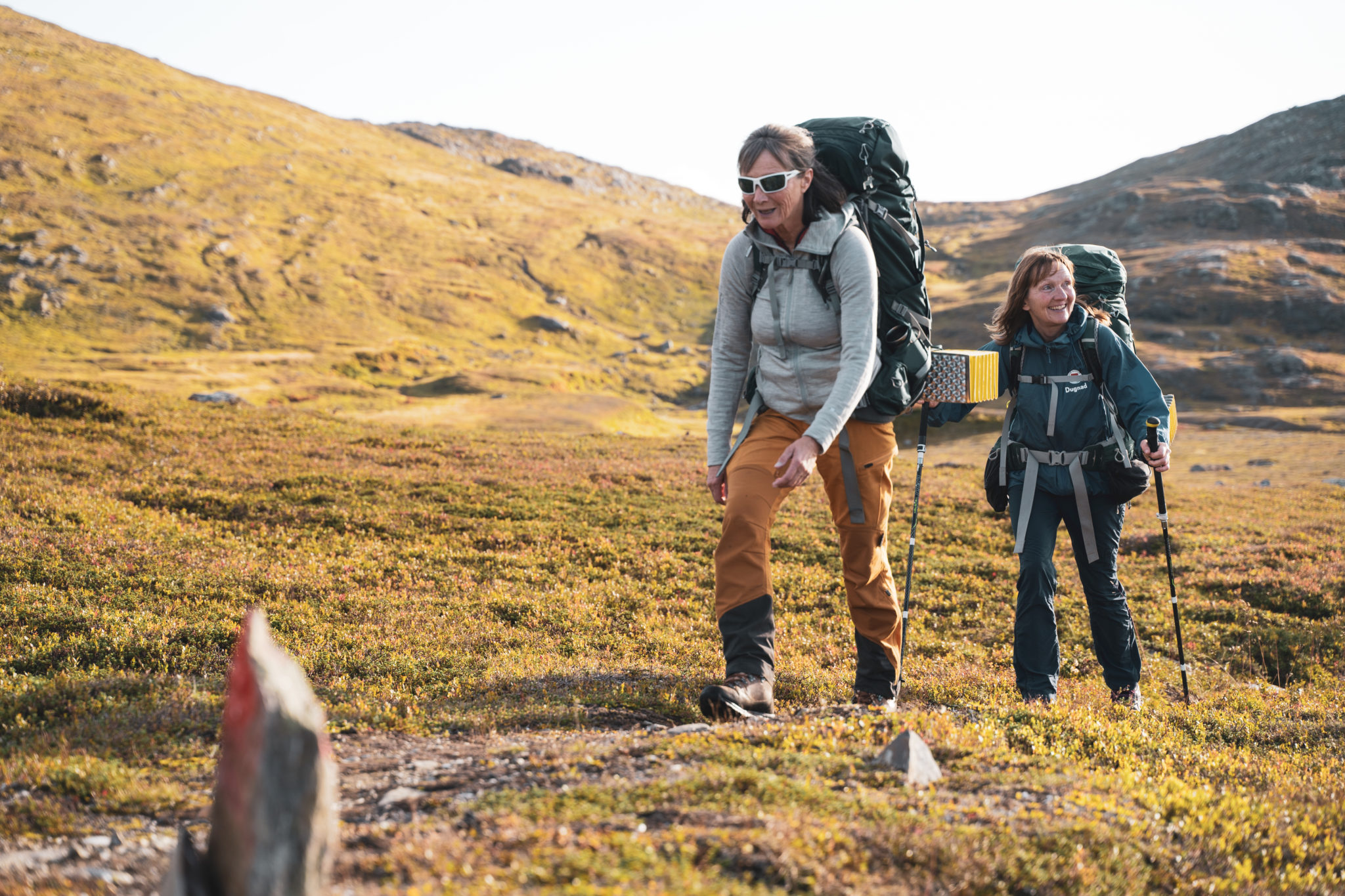
For the most experienced trekkers it is possible to do it in one long expedition of six weeks or more. Since this is one of the most alpine and longest trekking trails, we recommend to split it into smaller parts, like the Eight different segments divided into suggested 43 day stages.
For the less experienced hikers (incl. skilled families), it is possible to take a weekend or day hike, but only in the more accessible stages such as:
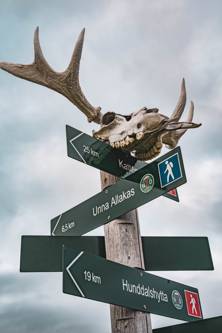
- Bjørnfjell – Vokterboligen – Katterat (by train or car from Narvik)
- Ny-Sulitjelma – Tjorarvi or Skaiti – Lønsdal (by train, bus or car from Bodø/Fauske)
- Umbukta – Sauvatnet – Bolna (by car or taxi from Mo i Rana)
- Susendalen – Tverrelvnes (by taxi or car from Trofors)
Long og short; experiences of your lifetime are waiting to be explored. These mountains, with their cultural heritage, the calm, wildlife and human encounters are just made for expanding your horizons!
Experience the norwegian culture of cabins
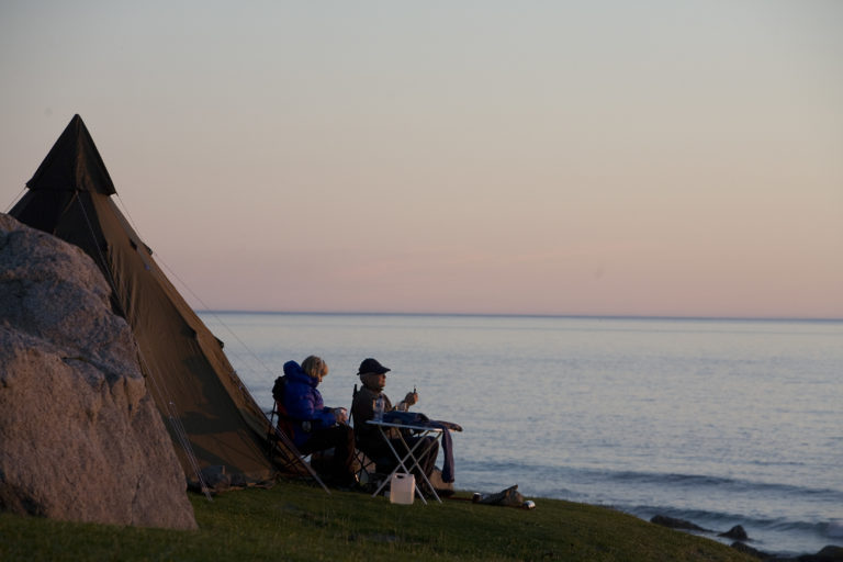
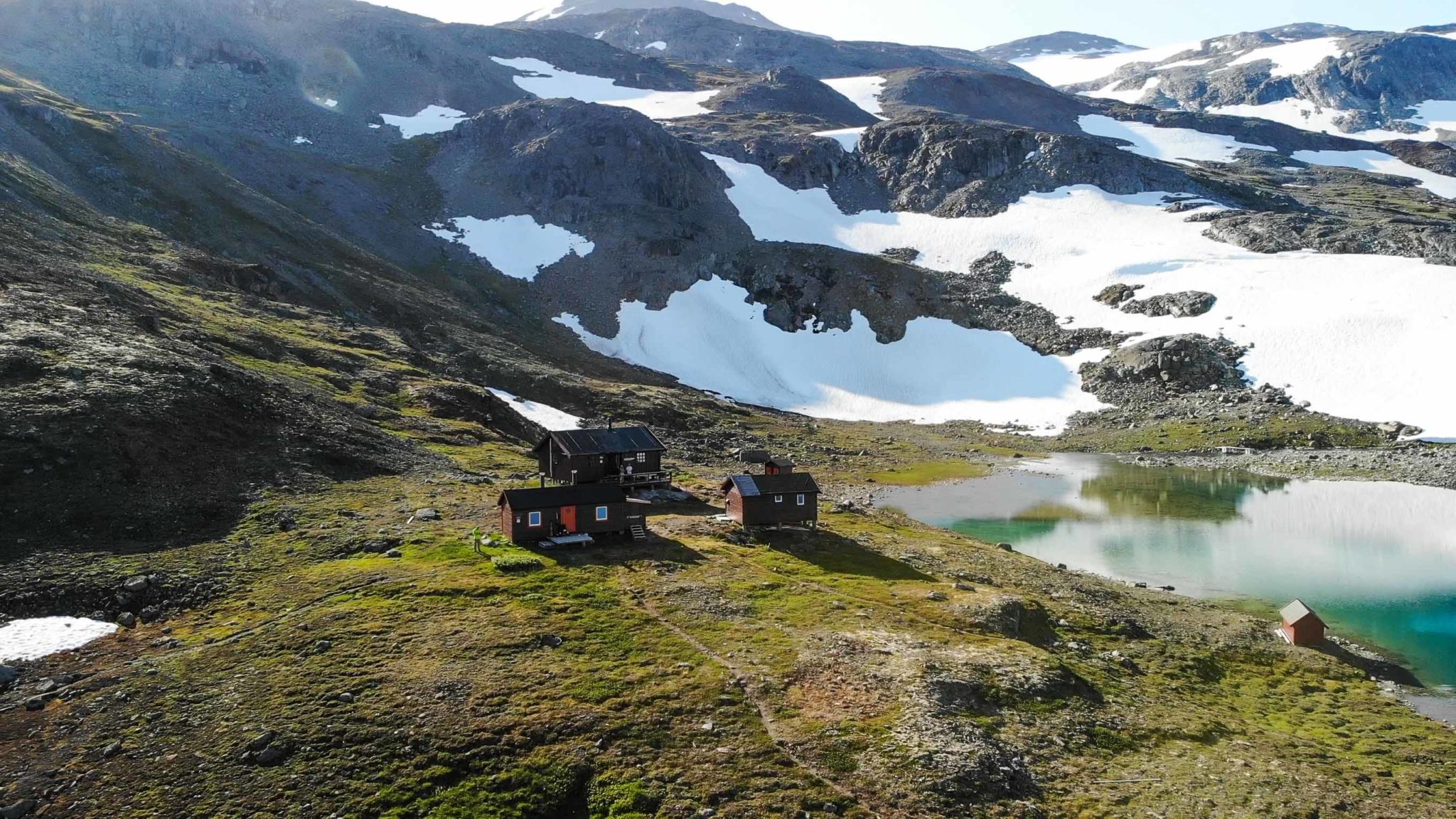
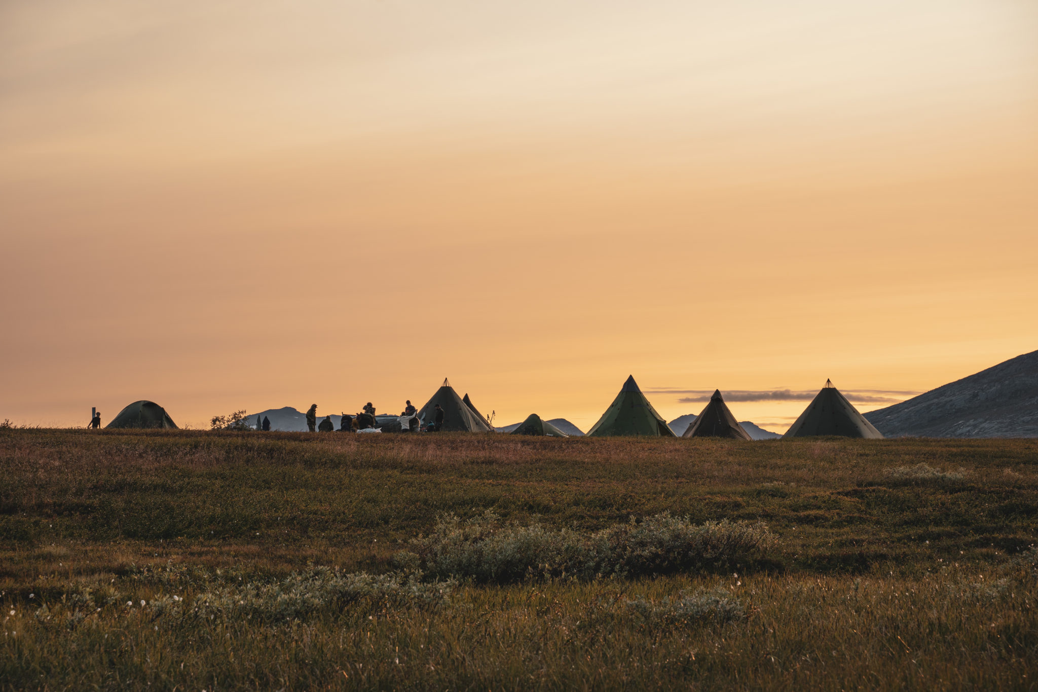
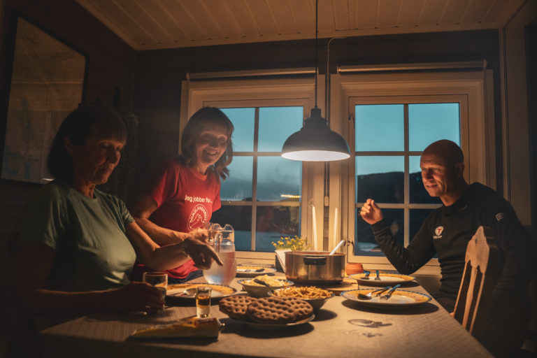
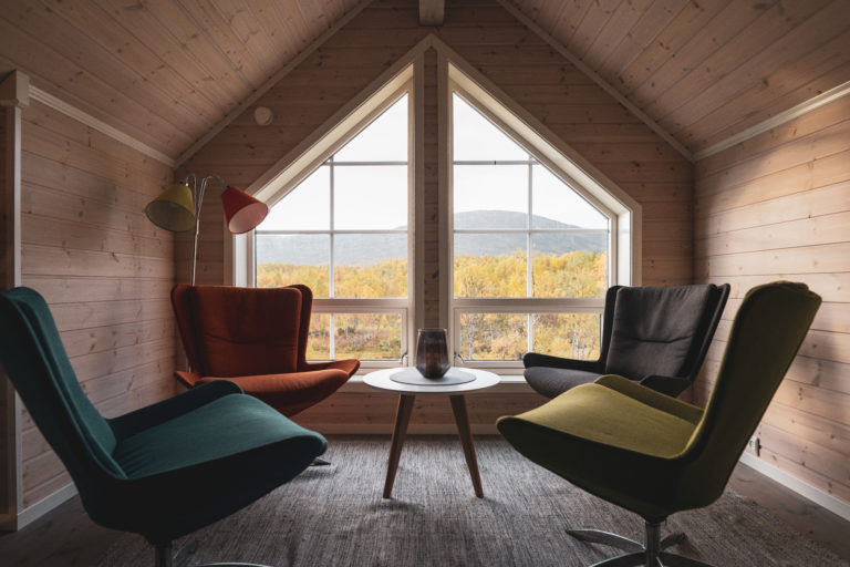
Cabins (hytter) are an important part of the culture, hiking and outdoors (friluftsliv) in Norway. The accommodation en route Nordlandsruta is of a fairly simple standard. Most of them unattended cabins – owned, built and run by the Norwegian Trekking Association (DNT). All are open to the public, but mostly you need the common DNT door key to be able to use them.
How to behave more responsibly as a visitor?
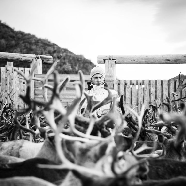
The nature are not only treasure troves for outdoor activities, but primarily for landscapes, cultural heritage, Sami reindeer herding practices and biodiversity.

What should you think about when hiking in nature?
It is not the case that the protection regulations of the national parks cover everything you need to deal with. There are several things that may be regulated by other laws, regulations and recommendations that you should consider:
- Bonfires
- Collecting trees and branches
- Disturbance of wildlife
- Dogs
- Bicycles
- Tenting
- Drones
- Cultural monuments
- Motorized traffic
- Mushrooms, berries and plants
You can find more information about what applies to outdoor activities at the Norwegian Environment Agency. You will also often come across landscape protection areas and nature reserves, which can have both stricter and more lenient regulations than national parks. Read more about what applies to the various protected areas in Norway.
Where do you dispose of your trash or “belongings”?
A good rule of thumb is that everything you take with you into nature, you should also take home with you. Nature takes a long time to break down all garbage, even food waste and other organic material. You can find good tips on what to do at https://norskfriluftsliv.no/hva-er-allemannsretten/hva-er-sporlos-ferdsel (in Norwegian).
What does it mean that cultural heritage is protected?
The nature contains both visible and invisible cultural monuments and cultural landscapes, which are protected from destruction. This applies to automatically protected cultural monuments in accordance with the Cultural Monuments Act (which are cultural monuments older than 1537 and Sami cultural monuments older than 100 years). In addition, more recent cultural monuments that refer to the historical use of the protected area may be protected. Please be considerate and do not move or take loose cultural monuments with you, such as cairns or millstones, as this can also affect the landscape and others’ hiking experience. Read more at Riksantikvaren (in Norwegian).
Four simple rules about reindeer and outdoor life
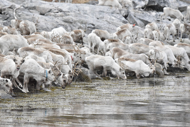
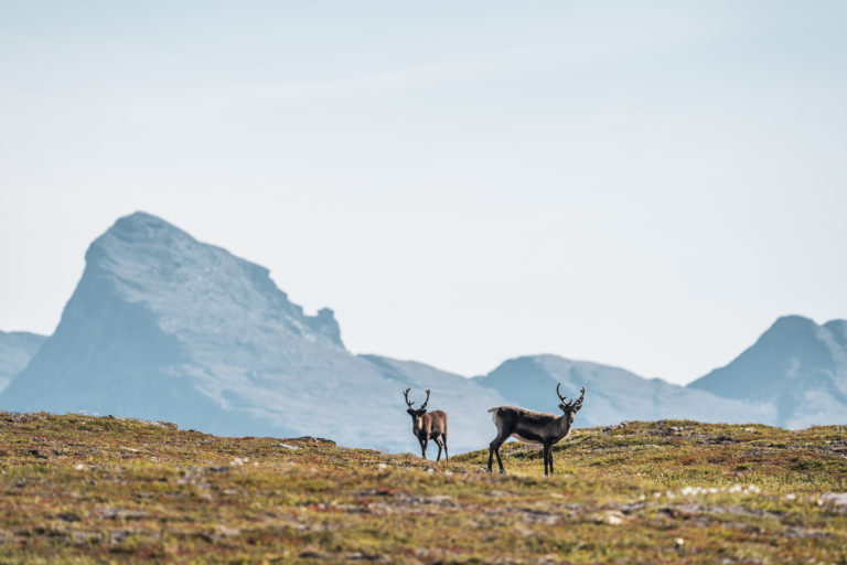
The Nordland Trekking Trail passes 7 reindeer herding districts, and it is important that you know how to behave in these areas:
- Be considerate in areas where reindeer calve. If you see newborn calves, move away quickly
- Dogs must be kept on a leash in the reindeer grazing areas
- When you meet reindeer on a walk, take a break at a good distance while the reindeer passes and grazes on
- Have a good dialogue with the local reindeer herding district when preparing and organizing events for outdoor activities
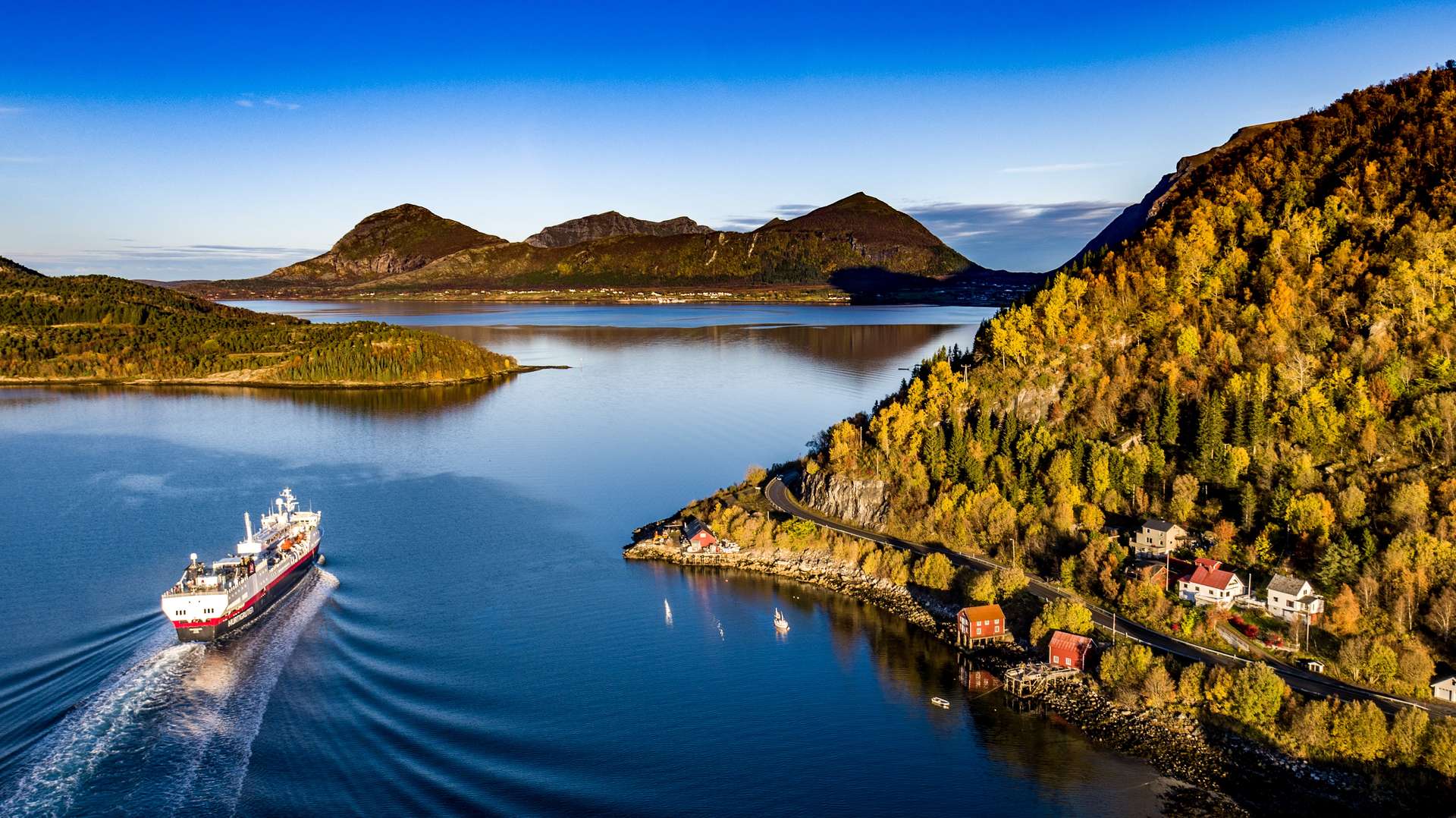
Travel by public transport and reduce your carbon footprint
Summary
“Leave only footprints, take only pictures and memories with you”
There are 43 accommodations along this trail, of which 29 are cabins owned by the Norwegian Trekking Association (DNT), the Swedish Tourist Association (STF) and 13 local private tourist businesses at Ut.no (only in Norwegian at the time being).
Through the Narvik mountains and over the border
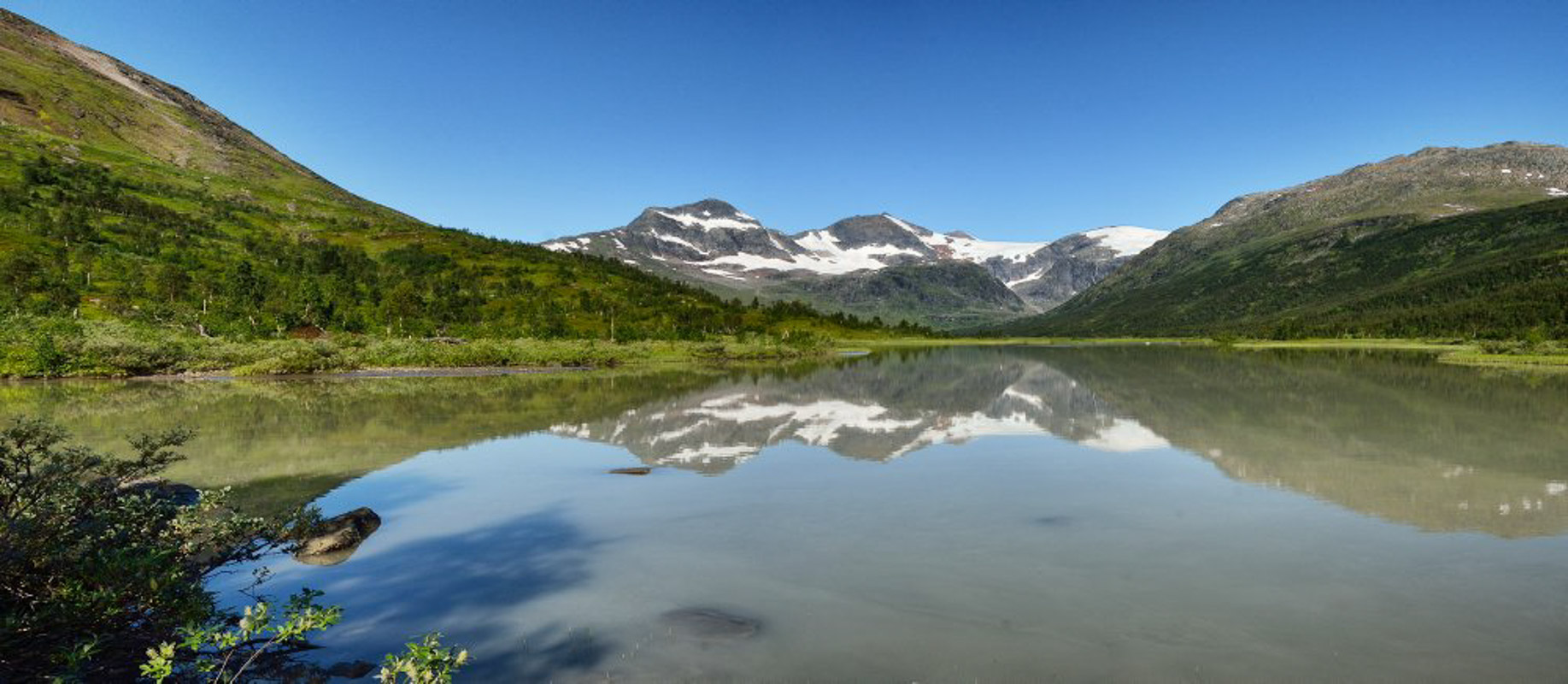
This northernmost part spans 200 kilometers with the highest elevations along the entire trekking trail. You will navigate through this high mountain terrain, between 700 and 1000 meters above the sea level, with two cabins even above this breathtaking level! Two segments of the trekking trail go through the Narvik/Ofoten region (from North to South):
Segment 1 through the Narvik mountains, from Bjørnfjell to Sijdasjávrre. It is a total of 95 kilometers, divided into 7-8 daily stages: More detailed hiking description.
Segment 2 over the border to Sweden, from Sijdasjávrre to Vaisaluokta. It is a total of 105 kilometers, divided into 4 long daily stages: More detailed hiking description.
Read more about this part at Visit Narvik.
Over the border again into the Salten mountains
This middle part of the trekking trail goes partly on the swedish side of the border through Laponia World Heritage Area and Padjelante National Park, over the border into Norway again; to the Sulitjelma, Junkerdalen and Saltfjellet mountains and National Parks. Two segments of the trekking trail go through the Bodø/Salten region (from North to South):
Segment 3 through Laponia , from Vaisaluokta to Ny-Sulitjelma fjellstue. It is a total of 95 kilometers, divided into 7-8 daily stages: More detailed hiking description.
Segment 4 through Junkerdalen, from Ny-Sulitjelma fjellstue to Lønsdal. It is a total of 86 kilometers, divided into 6-8 daily stages: More detailed hiking description.
Read more about this region at Visit Bodø.
Over Saltfjellet and through the Helgeland mountains
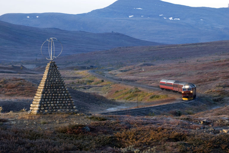
At the starting point in Lønsdal, there is a train station. It is possible to hike this segment as a continuous single trip, but also as round trips. You will pass through the Saltfjellet-Svartisen National Park. It is also as part of Telegrafruta**. Four segments of the trekking trail go through the Helgeland region (from North to South):
Segment 5 over Saltfjellet and the Arctic Circle, from Lønsdal to Bolna. It is a total of 54 kilometers, divided into 2-3 daily stages: More detailed hiking description.
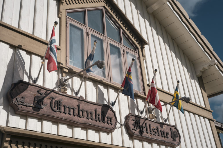
Segment 6 through the mountains in Rana south of Saltfjellet, from Bolna to Umbukta. It is a total of 73 kilometers, divided into 4 daily stages: More detailed hiking description.
Segment 7 along the Okstindan mountain massif, from Ombukta to Raudlia. It is a total of 49 kilometers long, divided into 3 daily stages: More detailed hiking description.
Segment 8 through Hattfjelldal, from Raudlia to Susendalen. It is a total of 93 kilometers, divided into 5 daily stages: More detailed hiking description.
Read more about this region at Visit Helgeland.
“A long time ago came a man on a track
Walking thirty miles with a sack on his back
And he put down his load where he thought it was the best
He made a home in the wildernessHe built a cabin and a winter store
Mark Knopfler used these first lyrics in his song “Telegraph Road” by Dire Straits, inspired by novelist Knut Hamsun **
And he ploughed up the ground by the cold lake shore
And the other travellers came walking down the track…”
“KulTur 2024” – a spectacular cultural trekking event
“European Cabins of Culture”, organizied by the regional project “Nordlandsruta“, is involving the famous Norwegian tourist cabins, as a part of Bodø2024 – European Capital of Culture. Norwegian Trekking Association (DNT), in close cooperation with the local hiking associations along Nordlandsruta, are organizing the event KulTur 2024 with DNT. This is a joint trekking in 27 July – 17 August 2024, with various artistic events at selected locations. One group of hikers will start in the North, and one group in the South of this trail. When they meet in the middle at Sulitjelma, there will be a big Mountain Cultural Party on the last night. These events will be free and open to everyone, regardless of whether you hike parts of the Nordland Trekking Trail or just a short day trip to the mountains.
How to get to Nordlandsruta?
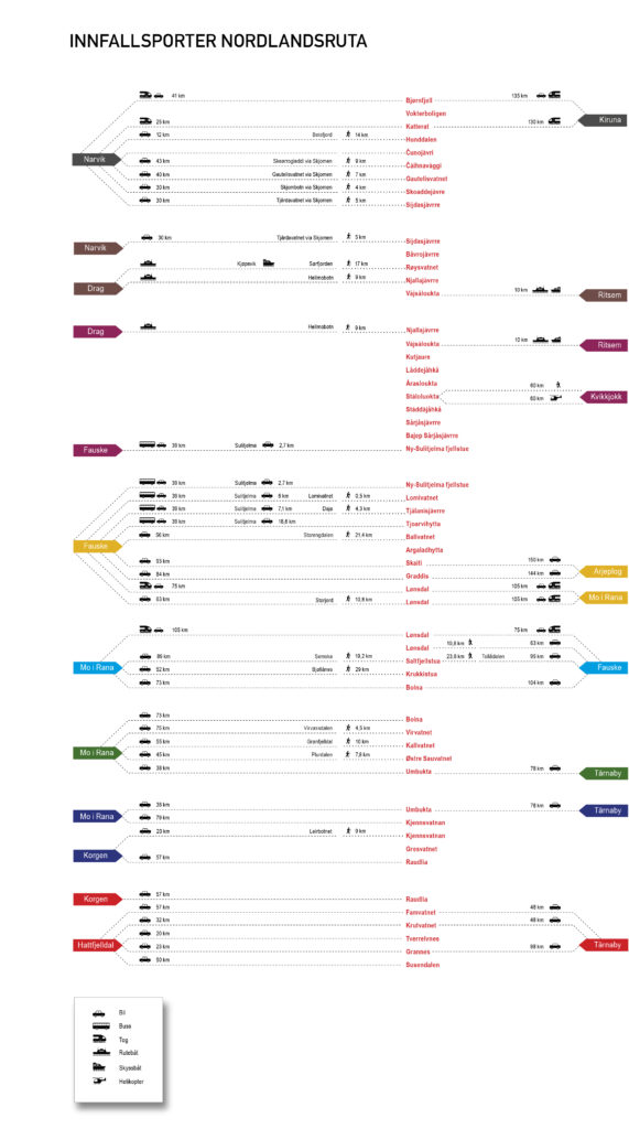
More practical information and planning
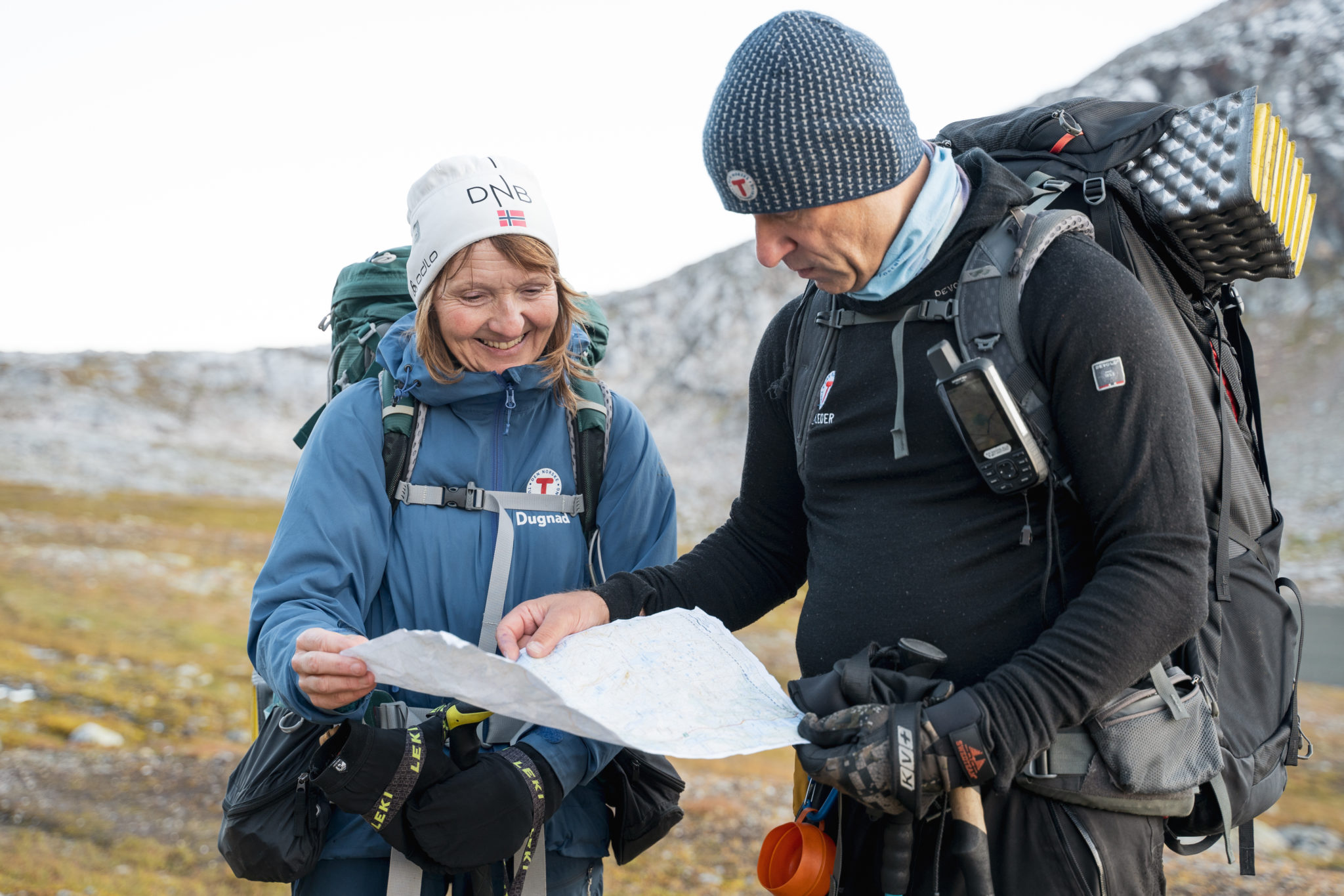
You can download a high-resolution map, find an overview of all the access points to The Nordland trekking trail segments, and download “Turbok Nordlandsruta” (only available in Norwegian) with pictures and height profiles for each stage, and all the 43 accommodation sites at dnt.no/turtips/anbefalte-turer/nordlandsruta/The-Nordland-trekking-trail.
Keep updated about what is going on and tips from other hikers along The Nordland Trekking Trail on their Facebook group “Vi som går Nordlandsruta” (“We who hike The Nordland Trekking Trail”).
* ) Is Nordlandsruta really the longest trekking trail in Norway?
Some facts about hiking distances:
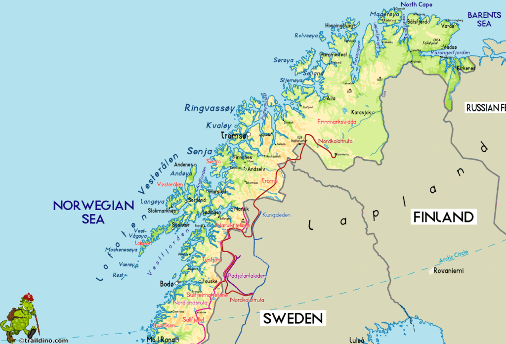
The Nordland Trekking Trail (Nordlandsruta) in Northern Norway is 650 km long. This is 7 km longer than Gudbrandsdalsleden (Oslo-Trondheim) in Southern Norway, the longest pilegrime trail in Norway (The St. Olavs Ways). All together these network of pilegrime trails are much longer than 650 km, but most of the pilegrimes only hike for a much shorter distance towards Nidaros. Some of the pilegrime accommodation are more serviced, and the tracks are bit more facilitated than along Nordlandruta.
The Nordkalott Route (Nordkalottruta) is a 600 km long trekking trail in Northern Norway, Sweden and Finland. It meet and join Nordlandsruta southeast of Narvik towards Sulitjelma for additional 200 km. Some hikers may therefore claim that Nordkalottruta is 800 km, but 200 km are shared with Nordlandsruta. The paralell The King’s Trail (Kungsleden) in Sweden is 450 km, and is also a bit more facilitated than Nordlandruta.
What is the difference between hiking and trekking?
Hiking is a shorter, easier journey, commonly walked on looped marked trails, to-and-back, or even destination hikes. Trekking always involves a specific destination. A trekking path goes through different, often rough terrains and requires more equipment and preparedness of the person doing it (Reference: mayamay.ch), like on The Nordland Trekking Trail.
** ) Is really “Telegrafruta” the same as in the song “Telegraph Road”?
A little fun fact about a famous novelist and a famous songwriter:
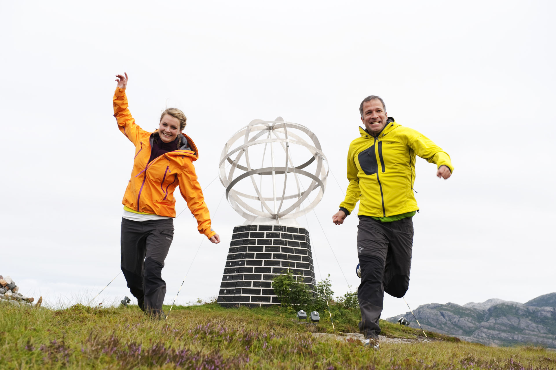
Telegrafruta is a central part of The Nordland trekking trail, where it passes the Arctic Circle between the Saltfjellet mountains. Building the first telephone line over this mountain range and into the Arctic was a historical development in the late 1800s.
These first modern constructions into the wild was also a symbolic happening in Knut Hamsun‘s Nobel-winning novel “The Growth of the Soil” from 1917. Hamsun wrote this novel from different places around in Nordland, including in Saltdal where this telegraph road was finished.
Mark Knopfler from Dire Straits was very inspired by Hamsun, and took the first lyrics from his novel into their song “Telegraph Road” in 1982. At the same time, Mark Knopfler was inspired to write the song while onboard the tour bus along the Telegraph Road in Michigan.
Therefore, it is more than likely there is a connection between Telegrafruta and Telegraph Road, via these two famous artists from Norway and Scotland:
Things to do close to Nordlandsruta?
